Dalblair

Settlement in Ayrshire

Scotland

Dalblair

Track down to Dalblair The track leading down to Dalblair.
This photo was taken on the 29th April 2022.
Track down to Dalblair Credit: Rab McMurdo

The requested URL returned error: 429 Too Many Requests

If you have any feedback on the listing, please let us know in the comments section below.
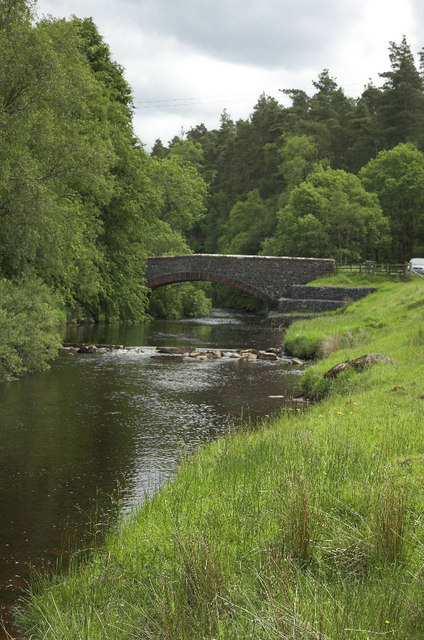
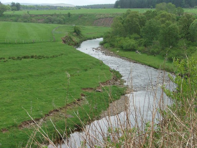
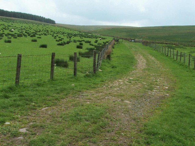
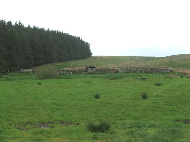
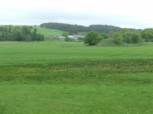
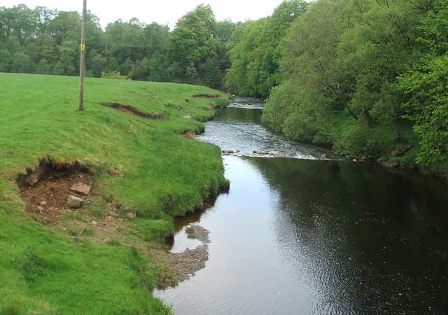
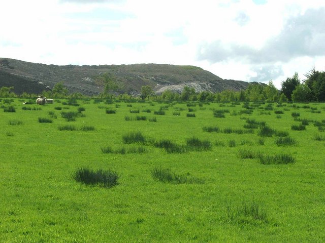
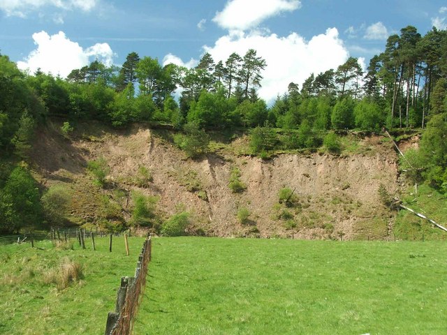
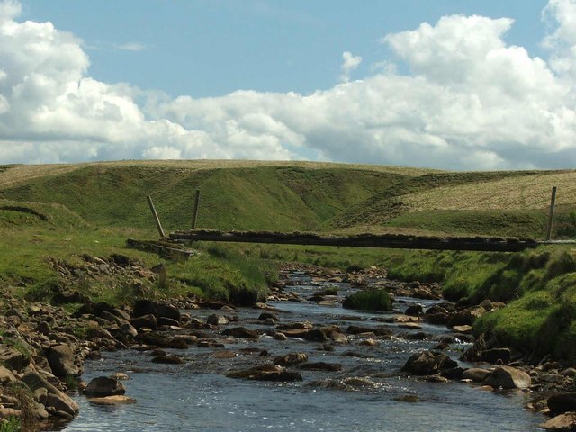
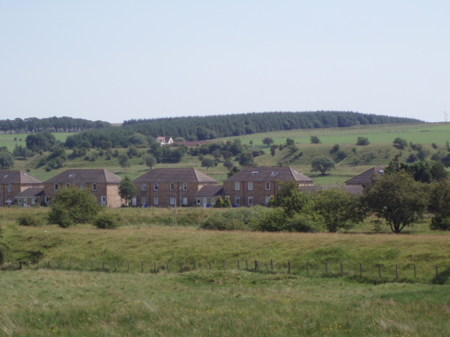
Dalblair Images

Images are sourced within 2km of 55.447949/-4.142648 or Grid Reference NS6419. Thanks to Geograph Open Source API. All images are credited.

Track down to Dalblair The track leading down to Dalblair.
This photo was taken on the 29th April 2022.
Track down to Dalblair
The track leading down to Dalblair. This photo was taken on the 29th April 2022.
Dornal Burn Wee waterfalls on the Dornal Burn.
This photo was taken on the 8th May 2022.
Dornal Burn
Wee waterfalls on the Dornal Burn. This photo was taken on the 8th May 2022.
Kyle Castle The remains of Kyle Castle.
Kyle Castle
The remains of Kyle Castle.
Ruins of Shawfield The ruins of Shawfield, an old farmstead.
This photo was taken on the 8th May 2022.
Ruins of Shawfield
The ruins of Shawfield, an old farmstead. This photo was taken on the 8th May 2022.
Dalblair Bridge Over the Glenmuir Water
Dalblair Bridge
Over the Glenmuir Water
Remains of Kyle Castle The Guelt Water is the river on the left hand side
Remains of Kyle Castle
The Guelt Water is the river on the left hand side
The Glenmuir Water. The Glenmuir Water is a tributary of the Lugar Water which is in turn a tributary of the River Ayr.
The Glenmuir Water.
The Glenmuir Water is a tributary of the Lugar Water which is in turn a tributary of the River Ayr.
Looking past Dornal Wood and Farm House This is the end point of the public road.
Looking past Dornal Wood and Farm House
This is the end point of the public road.
The Mole Catcher's been This once familiar sight around Ayrshire is rare nowadays.
The Mole Catcher's been
This once familiar sight around Ayrshire is rare nowadays.
View up the Pittairn Burn
Sheepfold.
Sheepfold.
Dornal farm. Dornal Farm with manmade earth mound in the mid distance.
Dornal farm.
Dornal Farm with manmade earth mound in the mid distance.
View from Dalblair bridge. The Glenmuir looking downstream from Dalblair bridge.
View from Dalblair bridge.
The Glenmuir looking downstream from Dalblair bridge.
High Garleffan? I think it's safe to assume that High Garleffan has well and truly disappeared.
Yet more opencast workings.
High Garleffan?
I think it's safe to assume that High Garleffan has well and truly disappeared. Yet more opencast workings.
Landslip. Erosion on the banks of the Guelt Water.
Landslip.
Erosion on the banks of the Guelt Water.
Bridge across the Guelt Water It doesn't look very safe!
Bridge across the Guelt Water
It doesn't look very safe!
Des Res. Do you think the hut is a self builder's accommodation?

This is Whiteholm, abandoned years ago. There's no road, no neighbours, no electricity. The place has got to be worth a fortune!
Des Res.
Do you think the hut is a self builder's accommodation? This is Whiteholm, abandoned years ago. There's no road, no neighbours, no electricity. The place has got to be worth a fortune!
Kyle Farm. Its sheep country up here.
Kyle Farm.
Its sheep country up here.
Show me another place!

Dalblair is located at Grid Ref: NS6419 (Lat: 55.447949, Lng: -4.142648)

Unitary Authority: East Ayrshire

Police Authority: Ayrshire

What 3 Words

///courts.assess.rotation. Near Logan, East Ayrshire

Related Wikis

Cronberry

Cronberry is a small hamlet situated north-east of Cumnock and one mile north-east of Lugar, in East Ayrshire, Scotland. == History == Cronberry has a...

Cronberry railway station

Cronberry railway station was a railway station serving the hamlet of Cronberry, East Ayrshire, Scotland. The station was originally part of the Glasgow...

Glenmuir Water

The Glenmuir Water is a river in Ayrshire, Scotland.The river rises high in the hills south of Muirkirk. On reaching Lugar the Glenmuir is joined by the...

Murdoch's Cave

Murdoch's Cave, is a relatively small artificial cave created by William Murdoch (1754-1839) and his siblings in the soft red sandstone Lugar river bank...

Nearby Amenities

Located within 500m of 55.447949,-4.142648
Power: pole
Lat/Long: 55.4482499/-4.1502001
Power: pole
Lat/Long: 55.4481621/-4.1487243
Power: pole
Lat/Long: 55.4480742/-4.1472378
Power: pole
Lat/Long: 55.4483866/-4.1456996
Power: pole
Lat/Long: 55.4486306/-4.1444476
Power: pole
Lat/Long: 55.4488368/-4.1434343
Power: pole
Lat/Long: 55.4493907/-4.1419198
Power: pole
Lat/Long: 55.4499422/-4.1404139
Power: pole
Lat/Long: 55.4504888/-4.1388693
Power: pole
Lat/Long: 55.4498348/-4.1380841
Power: pole
Lat/Long: 55.4491528/-4.1372494
Power: pole
Lat/Long: 55.4483475/-4.1362856
Power: pole
Lat/Long: 55.4479669/-4.1358188
Power: pole
Lat/Long: 55.447624/-4.135481
Power: pole
Lat/Long: 55.4479791/-4.1351089
Power: pole
Lat/Long: 55.4513342/-4.1458179
Power: pole
Lat/Long: 55.4507547/-4.1452758
Power: pole
Lat/Long: 55.4500617/-4.1446068
Power: pole
Lat/Long: 55.449481/-4.144041
The data included in this document is from www.openstreetmap.org. The data is made available under ODbL.

Have you been to Dalblair?

Leave your review of Dalblair below (or comments, questions and feedback).