Cottage Plantation

Wood, Forest in Hampshire New Forest

England

Cottage Plantation

Ibsley Bridge, 1926, view North By comparing with a 2010 photo <a href="https://www.geograph.org.uk/photo/1803581">SU1409 : Ibsley Bridge</a> this is the West end of the bridge, looking upstream.
Ibsley Bridge, 1926, view North Credit: John A Hawgood

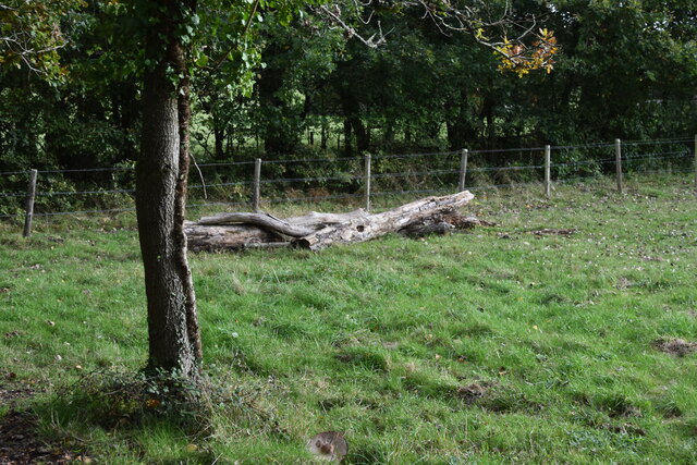
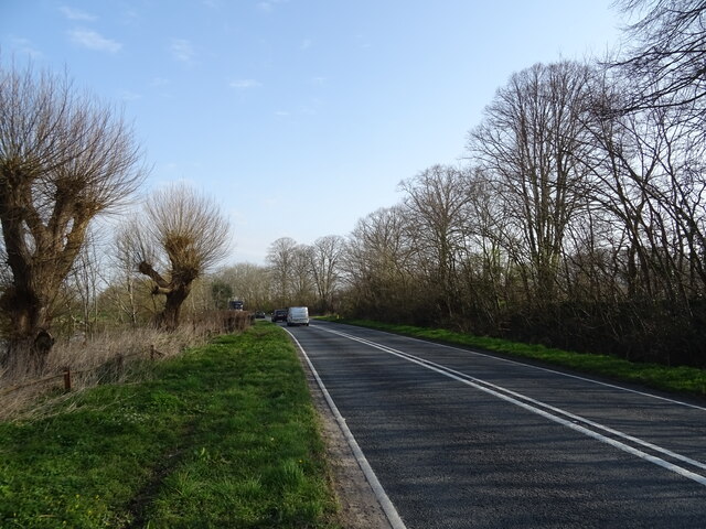
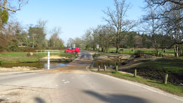
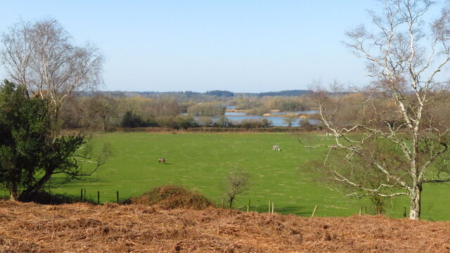
Cottage Plantation is a charming woodland estate located in Hampshire, England. Nestled within a picturesque forest, this enchanting property offers a tranquil retreat for nature enthusiasts and those seeking a peaceful getaway. The plantation spans over a vast area of lush greenery, consisting of dense woodlands filled with a variety of indigenous trees and plants.

As you step into Cottage Plantation, you are greeted by a sense of serenity and seclusion. The towering trees provide a natural canopy, casting dappled sunlight onto the forest floor. The air is filled with the sweet scent of wildflowers and the gentle rustling of leaves.

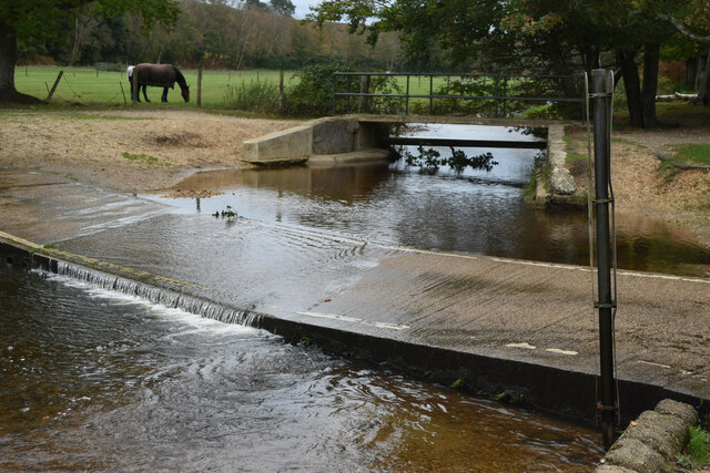
The plantation is home to a diverse range of flora and fauna. Rare and endangered species of plants can be found, attracting botanists and nature lovers alike. The forest is also a haven for wildlife, with numerous species of birds, squirrels, and deer making their homes here.

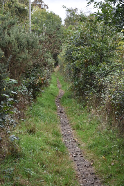
Visitors can explore the plantation through a network of scenic trails that wind their way through the woodlands. These paths offer a chance to immerse oneself in the beauty of nature, with opportunities for birdwatching, photography, and peaceful reflection.

Cottage Plantation also offers various amenities for visitors, including picnic areas, camping facilities, and guided nature walks. There is a small visitor center where guests can learn about the local flora and fauna, as well as the history and conservation efforts surrounding the plantation.

Overall, Cottage Plantation in Hampshire provides a captivating experience for nature enthusiasts, offering a chance to connect with the natural world in a serene and idyllic setting.

If you have any feedback on the listing, please let us know in the comments section below.

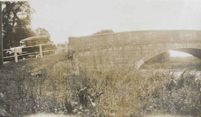
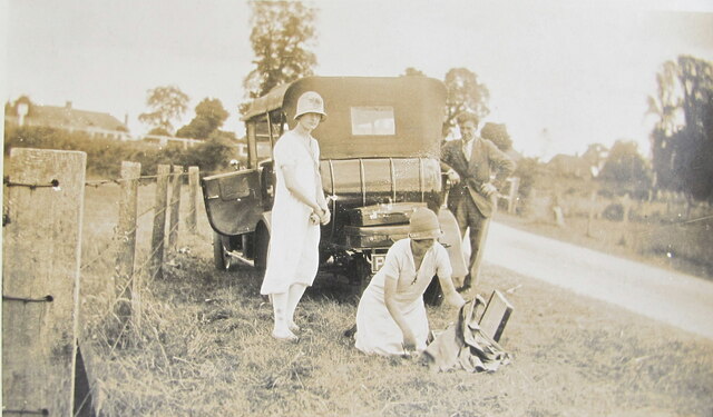
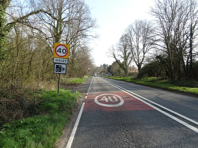
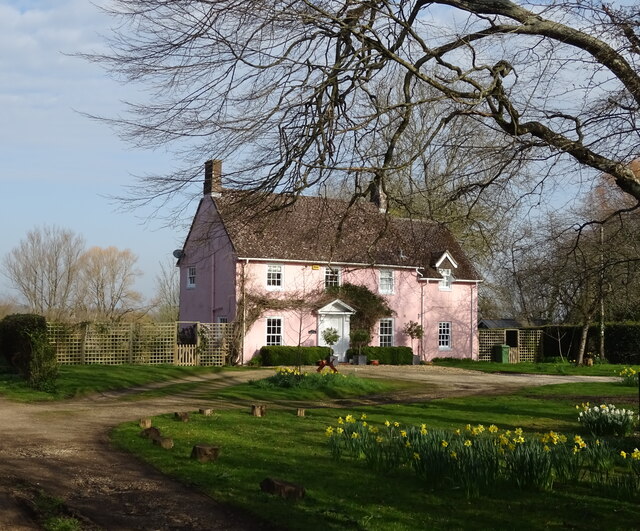
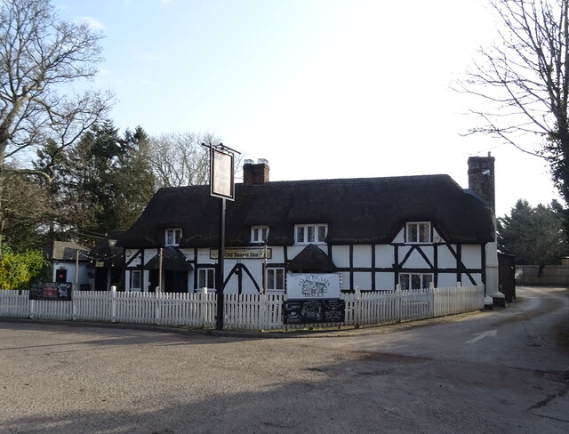
Cottage Plantation Images

Images are sourced within 2km of 50.889057/-1.7678293 or Grid Reference SU1609. Thanks to Geograph Open Source API. All images are credited.

Ibsley Bridge, 1926, view North By comparing with a 2010 photo <a href="https://www.geograph.org.uk/photo/1803581">SU1409 : Ibsley Bridge</a> this is the West end of the bridge, looking upstream.
Ibsley Bridge, 1926, view North
By comparing with a 2010 photo SU1409 : Ibsley Bridge this is the West end of the bridge, looking upstream.
Car on Ibsley Bridge, 1926, view South The car was parked on the bridge at the Western end.
Car on Ibsley Bridge, 1926, view South
The car was parked on the bridge at the Western end.
Picnic by Ibsley Bridge, 1926 A group of students packing up after lunch. In 1926 a car could just stop and park on the grass verge within yards of the bridge, this is the view from the bridge looking West.
Picnic by Ibsley Bridge, 1926
A group of students packing up after lunch. In 1926 a car could just stop and park on the grass verge within yards of the bridge, this is the view from the bridge looking West.
Ford near Moyles Court
Lakeside path This path is beside the lake north of Blashford Lake, which is not named on the OS map.
Lakeside path
This path is beside the lake north of Blashford Lake, which is not named on the OS map.
Fallen tree trunk in corner of field at Rockford
New hide at Blashford Lakes
Former St Martin's Church
Salisbury Road (A338)
Entering Ibsley on the A338
House in Ibsley
House in Ibsley
The Old Beams Inn
The Old Beams Inn
Sign for the Old Beams Inn
Salisbury Road (A338)
Ford at Dockens Water, Rockford
View across fields towards gravel pits, Avon Valley from Avon Valley Path, Mockbeggar
Trig Point at Whitefield Plantation, Mockbeggar
Rockford - Ford By Moyles Court, the Dockens Water was flowing swiftly over the ford after a night of heavy rain. Note the adjacent footbridge for dry pedestrian passage.
Rockford - Ford
By Moyles Court, the Dockens Water was flowing swiftly over the ford after a night of heavy rain. Note the adjacent footbridge for dry pedestrian passage.
Show me another place!

Cottage Plantation is located at Grid Ref: SU1609 (Lat: 50.889057, Lng: -1.7678293)

Administrative County: Hampshire

District: New Forest

Police Authority: Hampshire

What 3 Words

///seatbelt.model.doubts. Near Fordingbridge, Hampshire

Related Wikis

South Gorley

South Gorley is a hamlet in the New Forest National Park of Hampshire, England. It is in the civil parish of Ellingham, Harbridge and Ibsley. Its nearest...

Mockbeggar, Hampshire

Mockbeggar is a hamlet in the New Forest National Park of Hampshire, England. Its nearest town is Ringwood, which lies approximately 3 miles (5.6 km) south...

Ringwood and Fordingbridge Rural District

Ringwood and Fordingbridge was a rural district in Hampshire from 1932 to 1974.It was formed by the merger of part of the disbanded Christchurch Rural...

Ellingham, Harbridge and Ibsley

Ellingham, Harbridge and Ibsley is a civil parish in the west of the English county of Hampshire. The population of the civil parish at the 2011 Census...

RAF Ibsley

Royal Air Force Ibsley or more simply RAF Ibsley is a former Royal Air Force station in Hampshire, England. The airfield is near the village of Ibsley...

Ibsley Circuit

Ibsley Circuit was a car racing circuit situated at RAF Ibsley, on the Fordingbridge to Ringwood Road in Hampshire, United Kingdom. Autosport states that...

Furze Hill

Furze Hill (or Furzehill) is a hamlet situated in the New Forest National Park of Hampshire, England. It is in the civil parish of Ellingham, Harbridge...

North Gorley

North Gorley is a hamlet in the New Forest National Park of Hampshire, England. Its nearest town is Fordingbridge, which lies approximately 2 miles (3...

Nearby Amenities

Located within 500m of 50.889057,-1.7678293
Barrier: stile
Lat/Long: 50.8871659/-1.7685399
Barrier: stile
Lat/Long: 50.8873017/-1.7702833
Post Box
Operator: Royal Mail
Operator Wikidata: Q638098
Post Box Type: lamp
Postal Code: BH24
Ref: BH24 47
Royal Cypher: EIIR
Royal Cypher Wikidata: Q33102113
Lat/Long: 50.8864803/-1.7722073
Defibrillator
Access: yes
Booth: K6
Colour: red
Covered: booth
Defibrillator Location: inside old red phone box at end of New Road
Disused Amenity: telephone
Emergency: defibrillator
Man Made: telephone_box
Lat/Long: 50.8864964/-1.7721228
Hockeys Farm Shop
Shop: farm
Lat/Long: 50.8922159/-1.7708169
Barrier: cattle_grid
Bicycle: yes
Motorcar: yes
Lat/Long: 50.8907687/-1.7722144
Cafe
Hockeys Farm Shop Cafe
Opening Hours: Mo-Su 09:00-16:30
Outdoor Seating: yes
Lat/Long: 50.8924103/-1.7710548
Barrier: cattle_grid
Lat/Long: 50.8864263/-1.7721109
Summerlug Hill
Place: locality
Lat/Long: 50.8860822/-1.7640463
Generator Method: photovoltaic
Generator Output Electricity: yes
Generator Source: solar
Generator Type: solar_photovoltaic_panel
Power: generator
Lat/Long: 50.8916061/-1.7709327
Barrier: stile
Lat/Long: 50.8869981/-1.7670138
Power: pole
Lat/Long: 50.8911741/-1.7663333
Power: pole
Lat/Long: 50.891118/-1.7647044
Power: pole
Lat/Long: 50.8910416/-1.7630953
Power: pole
Lat/Long: 50.8910859/-1.7642585
Power: pole
Lat/Long: 50.8919028/-1.7643501
Power: pole
Lat/Long: 50.8928124/-1.764037
Power: pole
Lat/Long: 50.8912826/-1.767794
New Town
Place: hamlet
Lat/Long: 50.8900821/-1.7666203
Ford: yes
Lat/Long: 50.8906976/-1.7648287
Ford: yes
Lat/Long: 50.8890879/-1.7719076
The data included in this document is from www.openstreetmap.org. The data is made available under ODbL.

Have you been to Cottage Plantation?

Leave your review of Cottage Plantation below (or comments, questions and feedback).