Bales House Plantations

Wood, Forest in Yorkshire Harrogate

England

Bales House Plantations

Ellingstring
Ellingstring Credit: Andrew McLean

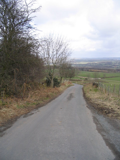
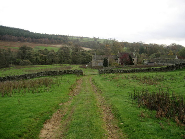
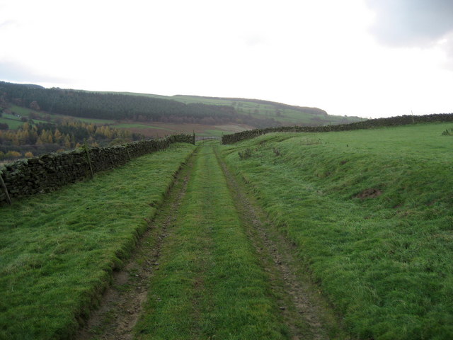
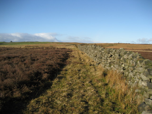
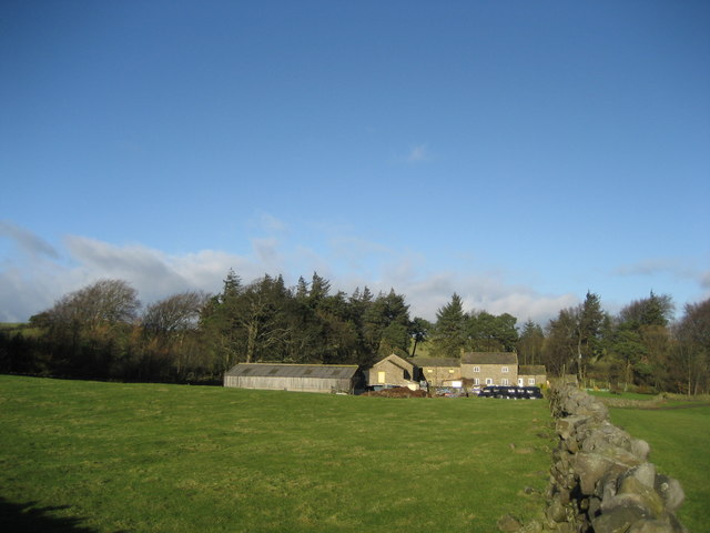
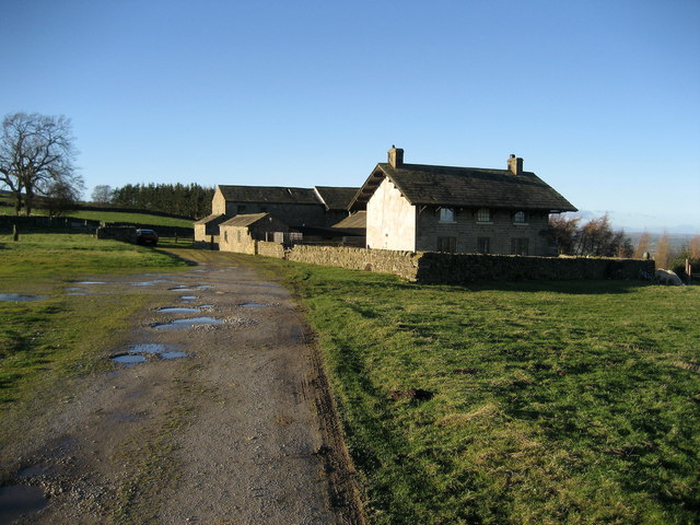
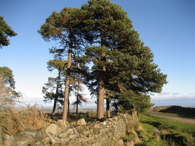
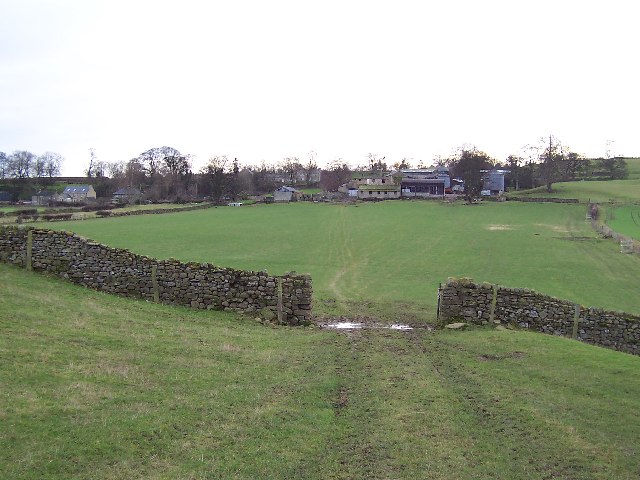
Bales House Plantations, located in Yorkshire, England, is a sprawling woodland area known for its captivating scenic beauty and abundant flora and fauna. Stretching across a vast expanse of land, the plantation is a perfect retreat for nature enthusiasts and those seeking tranquility amidst the serene surroundings.

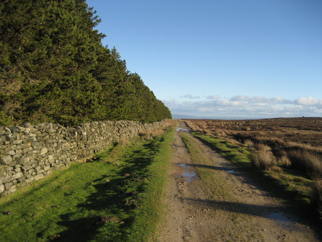
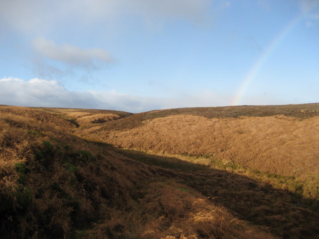
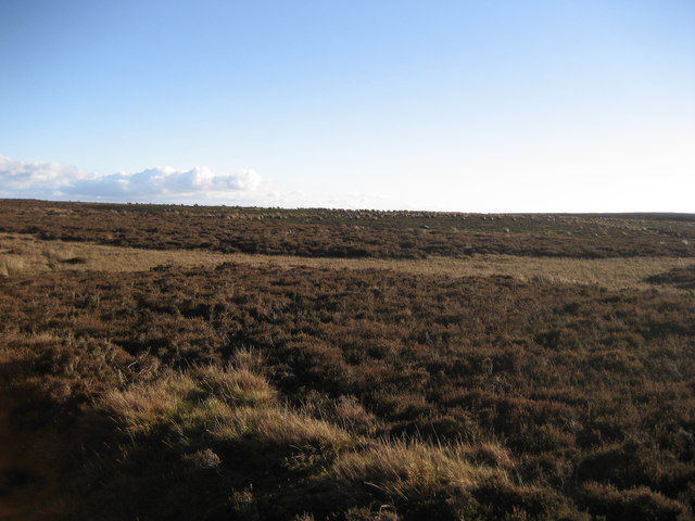
The plantation boasts a diverse range of tree species, including oak, beech, birch, and pine, creating a lush canopy that provides shelter to numerous wildlife species. The forest floor is adorned with a vibrant carpet of wildflowers during the spring and summer months, adding a splash of color to the landscape.

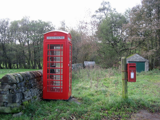
Visitors to Bales House Plantations can explore the extensive network of walking trails that wind their way through the woods, offering a chance to immerse oneself in the peaceful ambiance and discover hidden gems along the way. The trails cater to all levels of fitness, with options for leisurely strolls or more challenging hikes.

For those interested in wildlife spotting, the plantation is home to a variety of animals such as deer, foxes, badgers, and a plethora of bird species. Binoculars and a keen eye are essential for birdwatchers hoping to catch a glimpse of the elusive Eurasian sparrowhawk or the melodious nightingale.

Bales House Plantations also offer recreational activities, including picnic areas and designated spots for camping and barbecues. These facilities make it an ideal destination for families and friends to bond over a day out in nature.

In conclusion, Bales House Plantations in Yorkshire is a picturesque woodland retreat that offers a captivating natural environment, diverse plant life, and abundant wildlife. Whether it's a leisurely walk, birdwatching, or a family picnic, the plantation provides a perfect setting for visitors to unwind and connect with nature.

If you have any feedback on the listing, please let us know in the comments section below.

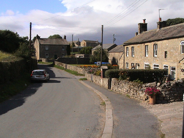
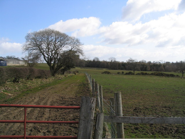
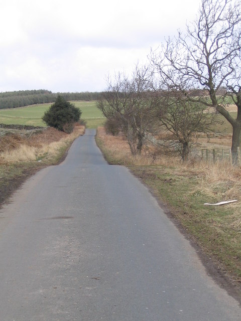
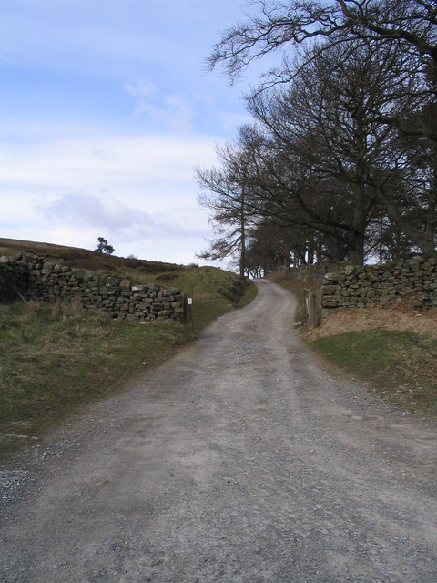
Bales House Plantations Images

Images are sourced within 2km of 54.235245/-1.7503999 or Grid Reference SE1682. Thanks to Geograph Open Source API. All images are credited.

Ellingstring
Ellingstring
Farmland at Low Healy Cote Low Healy Cote Farm on left with Spring Wood in the distance
Farmland at Low Healy Cote
Low Healy Cote Farm on left with Spring Wood in the distance
Road from Healy to Ellingstring Looking downhill towards sharp right hand bend
Road from Healy to Ellingstring
Looking downhill towards sharp right hand bend
Track to Witton Moor
Road between Ellingstring and Jervaulx Looking downhill just before High Newstead
Road between Ellingstring and Jervaulx
Looking downhill just before High Newstead
Pond near Ellingstring Small pond with its inhabitants!
Pond near Ellingstring
Small pond with its inhabitants!
Crossroads near Ellingstring Near to the village of Ellingstring which is on the edge of the Dales National Park.
Crossroads near Ellingstring
Near to the village of Ellingstring which is on the edge of the Dales National Park.
Gollinglith Foot from Coal Road Looking east towards a residence in the hamlet of Gollinglith Foot by the infant River Burn
Gollinglith Foot from Coal Road
Looking east towards a residence in the hamlet of Gollinglith Foot by the infant River Burn
Coal Road (East 1) Ancient track used for the transportation of coal off Colsterdale Moor
Coal Road (East 1)
Ancient track used for the transportation of coal off Colsterdale Moor
Gollinglith Foot Hamlet beside the River Burn, whose services include a letter box and telephone kiosk
Gollinglith Foot
Hamlet beside the River Burn, whose services include a letter box and telephone kiosk
Wall over Tranmire Bog Dry stone enclosure wall heading north west over the rough ground of Tranmire Bog towards Witton Moor
Wall over Tranmire Bog
Dry stone enclosure wall heading north west over the rough ground of Tranmire Bog towards Witton Moor
Tranmire Isolated farmstead surrounded by enclosed pastures, which are themselves surrounded by moorland - like an island
Tranmire
Isolated farmstead surrounded by enclosed pastures, which are themselves surrounded by moorland - like an island
Track beside East Belt Plantation Shows this substantial track running east between the plantation and Witton Moor
Track beside East Belt Plantation
Shows this substantial track running east between the plantation and Witton Moor
Watercourse below Tranmire Hill Following this gill upstream to its source on Agra Moor - the rainbow is a bonus, but not a geograph (wrong square).
Watercourse below Tranmire Hill
Following this gill upstream to its source on Agra Moor - the rainbow is a bonus, but not a geograph (wrong square).
The Green, Ellingstring A pleasant green area at the western end of the village
The Green, Ellingstring
A pleasant green area at the western end of the village
Moor Cote Located above a series of plantations, this farm looked deserted and even abandoned. The main house has a curious outsized roof giving it almost an alpine quality
Moor Cote
Located above a series of plantations, this farm looked deserted and even abandoned. The main house has a curious outsized roof giving it almost an alpine quality
Scots Pine near Milestone Bank Lovely specimens of these noble trees on the edge of Witton Moor
Scots Pine near Milestone Bank
Lovely specimens of these noble trees on the edge of Witton Moor
Witton Moor The moor from East Belt Plantation. Anyone tempted to wander in beware!  It is open access but I noticed a number of vicious looking contraptions like giant mousetraps with spikes on the throwing arm - anything like a stoat or fox caught in these things would die a slow agonising death, and wouldn't improve the walkers feet either.
Witton Moor
The moor from East Belt Plantation. Anyone tempted to wander in beware! It is open access but I noticed a number of vicious looking contraptions like giant mousetraps with spikes on the throwing arm - anything like a stoat or fox caught in these things would die a slow agonising death, and wouldn't improve the walkers feet either.
Show me another place!

Bales House Plantations is located at Grid Ref: SE1682 (Lat: 54.235245, Lng: -1.7503999)

Division: North Riding

Administrative County: North Yorkshire

District: Harrogate

Police Authority: North Yorkshire

What 3 Words

///darts.factory.nearing. Near Masham, North Yorkshire

Nearby Locations

Bales House Plantations

Related Wikis

Gollinglith Foot

Gollinglith Foot (GOWN-li FOOT), historically also spelt Gownley Foot, is a hamlet in the civil parish of Healey in the Harrogate district of North Yorkshire...

Ellingstring

Ellingstring is a village and civil parish in Wensleydale in North Yorkshire, England, about 5 miles (8 km) south-east of Leyburn, and 3.5 miles (5.6 km...

Healey, North Yorkshire

Healey is a small village and civil parish in the Harrogate district of North Yorkshire, England. It is situated in the valley of the River Burn, to the...

Leighton, North Yorkshire

Leighton is a hamlet in the civil parish of Healey in the Harrogate district of North Yorkshire, England. It is near Leighton Reservoir that provides for...

Colsterdale Light Railway

The Colsterdale Light Railway (CLR) was a narrow-gauge railway line in Colsterdale, North Yorkshire, England. It was built between 1903 and 1905 to allow...

High Ellington

High Ellington is a village in lower Wensleydale in North Yorkshire, England, about 2.5 miles (4 km) north-west of Masham. The smaller village of Low...

Fearby

Fearby is a village and civil parish in North Yorkshire, England. It is located in the valley of the River Burn 2 miles (3 km) west of Masham. Nearby settlements...

Colsterdale

Colsterdale is the valley of the River Burn, a tributary of the River Ure, in the Yorkshire Dales in North Yorkshire, England. It gives its name to a hamlet...

Nearby Amenities

Located within 500m of 54.235245,-1.7503999
Place: farm
Lat/Long: 54.2358215/-1.7482033
Power: pole
Lat/Long: 54.2392182/-1.7529646
Power: pole
Lat/Long: 54.2389085/-1.7515273
Power: pole
Lat/Long: 54.2386063/-1.7503681
Power: pole
Lat/Long: 54.2382538/-1.7488577
Power: pole
Lat/Long: 54.2374851/-1.7480871
Power: pole
Lat/Long: 54.2366071/-1.7472172
Power: pole
Lat/Long: 54.2357691/-1.7463799
Power: pole
Lat/Long: 54.2349766/-1.7455784
Power: pole
Lat/Long: 54.2341774/-1.744785
Power: pole
Lat/Long: 54.2336263/-1.7436372
Power: pole
Lat/Long: 54.2356588/-1.7472806
Power: pole
Lat/Long: 54.2355648/-1.7479814
The data included in this document is from www.openstreetmap.org. The data is made available under ODbL.

Have you been to Bales House Plantations?

Leave your review of Bales House Plantations below (or comments, questions and feedback).