Church Belt
Wood, Forest in Yorkshire Richmondshire
England
Church Belt
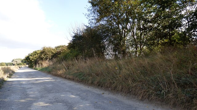
Church Belt, Yorkshire is a picturesque woodland area located in the northern part of England. Situated in the county of Yorkshire, specifically in the village of Church Belt, this woodland expanse is known for its lush greenery, towering trees, and serene atmosphere, making it a popular destination for nature enthusiasts and hikers.
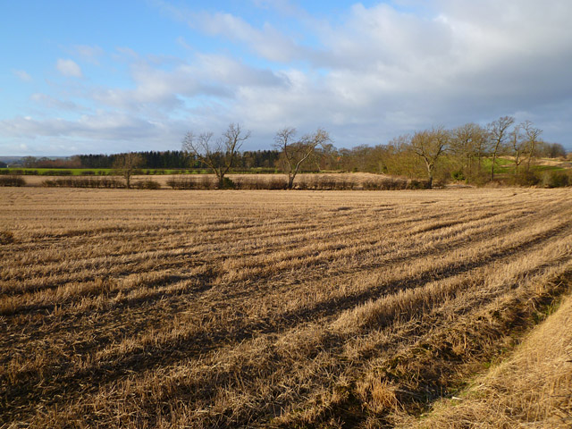
Spanning over a vast area, Church Belt is characterized by its dense forest cover, which is predominantly composed of various species of deciduous and coniferous trees. The woodland is home to a diverse range of flora and fauna, with native wildlife such as deer, rabbits, and various bird species being frequently spotted in the area.
The woodland offers a network of well-marked trails and paths, making it easily accessible for visitors to explore and enjoy its natural beauty. Along these trails, visitors can discover hidden clearings, babbling brooks, and tranquil lakes, providing ample opportunities for peaceful picnics and photography.
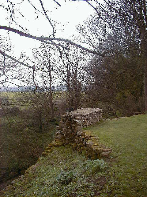
Church Belt also holds historical significance, with the remains of an ancient church nestled within its depths. The ruins of this church, dating back several centuries, add an air of mystery and intrigue to the woodland, attracting history enthusiasts and those seeking a glimpse into the past.
Overall, Church Belt, Yorkshire is a captivating woodland paradise that offers a serene and tranquil escape from the bustling city life. Its natural beauty, diverse wildlife, and historical remnants make it a must-visit destination for nature lovers and history buffs alike.
If you have any feedback on the listing, please let us know in the comments section below.
Church Belt Images
Images are sourced within 2km of 54.484169/-1.7491967 or Grid Reference NZ1609. Thanks to Geograph Open Source API. All images are credited.


Church Belt is located at Grid Ref: NZ1609 (Lat: 54.484169, Lng: -1.7491967)
Division: North Riding
Administrative County: North Yorkshire
District: Richmondshire
Police Authority: North Yorkshire
What 3 Words
///issued.bagpipes.lots. Near Hutton Magna, Co. Durham
Nearby Locations
Related Wikis

East Layton
East Layton is a village and civil parish in the Richmondshire district of North Yorkshire, England, close to the border with County Durham and a few miles...

Carkin
Carkin is a civil parish in North Yorkshire, England. It was created from the separation of the parish of Forcett and Carkin into "Carkin" and "Forcett...

West Layton
West Layton is a village and civil parish in the Richmondshire district of North Yorkshire, England, close to the border with County Durham and a few miles...

Forcett Hall
Forcett Hall is an English country house in the village of Forcett, North Yorkshire, England, some 6.5 miles (10 km) west of Darlington. It is a Grade...

Stanwick Park
Stanwick Park (also known as Stanwick Hall) was a Palladian country house at Stanwick St John in North Yorkshire, England. == History == It was re-built...
Stanwick Iron Age Fortifications
Stanwick Iron Age Fortifications (also known as 'Stanwick Camp'), a huge Iron Age hill fort, sometimes but not always considered an oppidum, comprising...

Forcett
Forcett is a village in the Richmondshire district of North Yorkshire, England. It lies near the border with County Durham, on the B6274 road about 8 miles...

St John the Baptist's Church, Stanwick
St John the Baptist's Church is a redundant Anglican church in the village of Stanwick St John, North Yorkshire, England. It is recorded in the National...
Nearby Amenities
Located within 500m of 54.484169,-1.7491967Have you been to Church Belt?
Leave your review of Church Belt below (or comments, questions and feedback).