Brickyard Coppice
Wood, Forest in Gloucestershire Cotswold
England
Brickyard Coppice

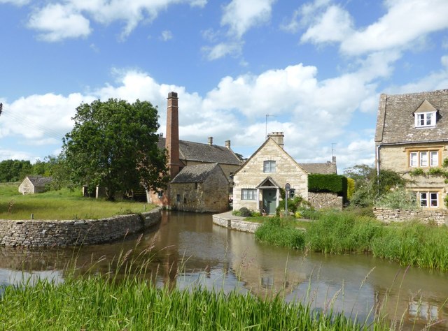
Brickyard Coppice is a picturesque woodland located in the county of Gloucestershire, England. Situated near the village of Brickyard, this forested area covers an approximate area of 100 acres and is highly regarded for its natural beauty and ecological significance.
The woodland consists primarily of a mix of deciduous and coniferous trees, including oak, beech, birch, and pine. These diverse tree species create a rich and varied habitat, supporting a wide range of wildlife. Bird species such as woodpeckers, owls, and various songbirds can be spotted here, along with small mammals like squirrels and rabbits.
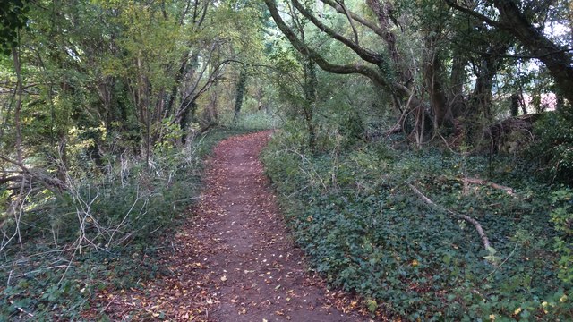
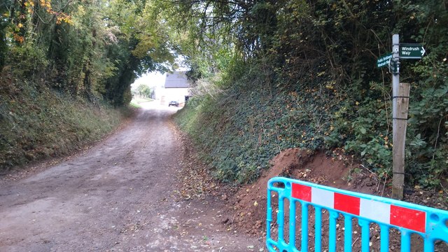
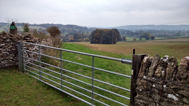
Brickyard Coppice is known for its well-maintained network of walking trails, making it a popular destination for nature enthusiasts and hikers. The trails wind through the forest, offering visitors the opportunity to immerse themselves in the peaceful surroundings and enjoy the beauty of the natural landscape.
In addition to its recreational value, Brickyard Coppice also plays an important role in the local ecosystem. The dense woodland helps to regulate the local climate, protect against soil erosion, and support biodiversity. It provides a vital habitat for numerous plant and animal species, some of which are rare or endangered.
Overall, Brickyard Coppice is a cherished natural asset in Gloucestershire, offering a tranquil escape from the hustle and bustle of everyday life while serving as a crucial haven for wildlife in the region.
If you have any feedback on the listing, please let us know in the comments section below.
Brickyard Coppice Images
Images are sourced within 2km of 51.889986/-1.7657214 or Grid Reference SP1621. Thanks to Geograph Open Source API. All images are credited.


Brickyard Coppice is located at Grid Ref: SP1621 (Lat: 51.889986, Lng: -1.7657214)
Administrative County: Gloucestershire
District: Cotswold
Police Authority: Gloucestershire
What 3 Words
///pheasants.anyone.officer. Near Bourton on the Water, Gloucestershire
Nearby Locations
Related Wikis

The Cotswold School
The Cotswold School is an 11 to 18 academy school located in Bourton-on-the-Water, Gloucestershire, Great Britain. The school achieved academy status in...
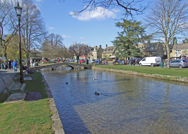
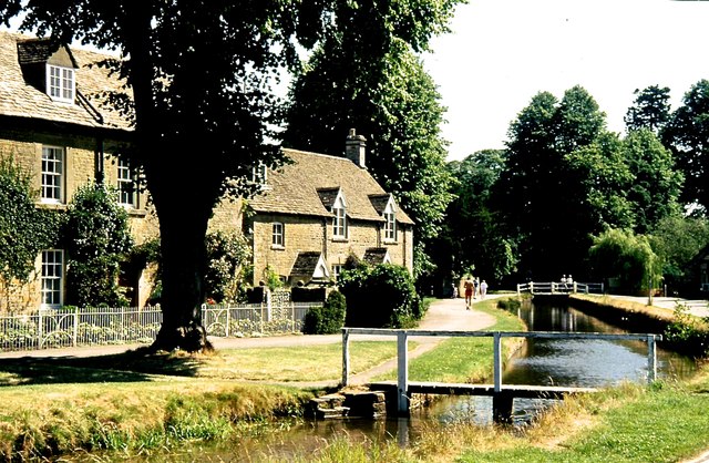
Bourton-on-the-Water
Bourton-on-the-Water is a village and civil parish in Gloucestershire, England, that lies on a wide flat vale within the Cotswolds Area of Outstanding...

Bourton-on-the-Water railway station
Bourton-on-the-Water railway station was a Gloucestershire railway station on the Great Western Railway's Banbury and Cheltenham Direct Railway which opened...
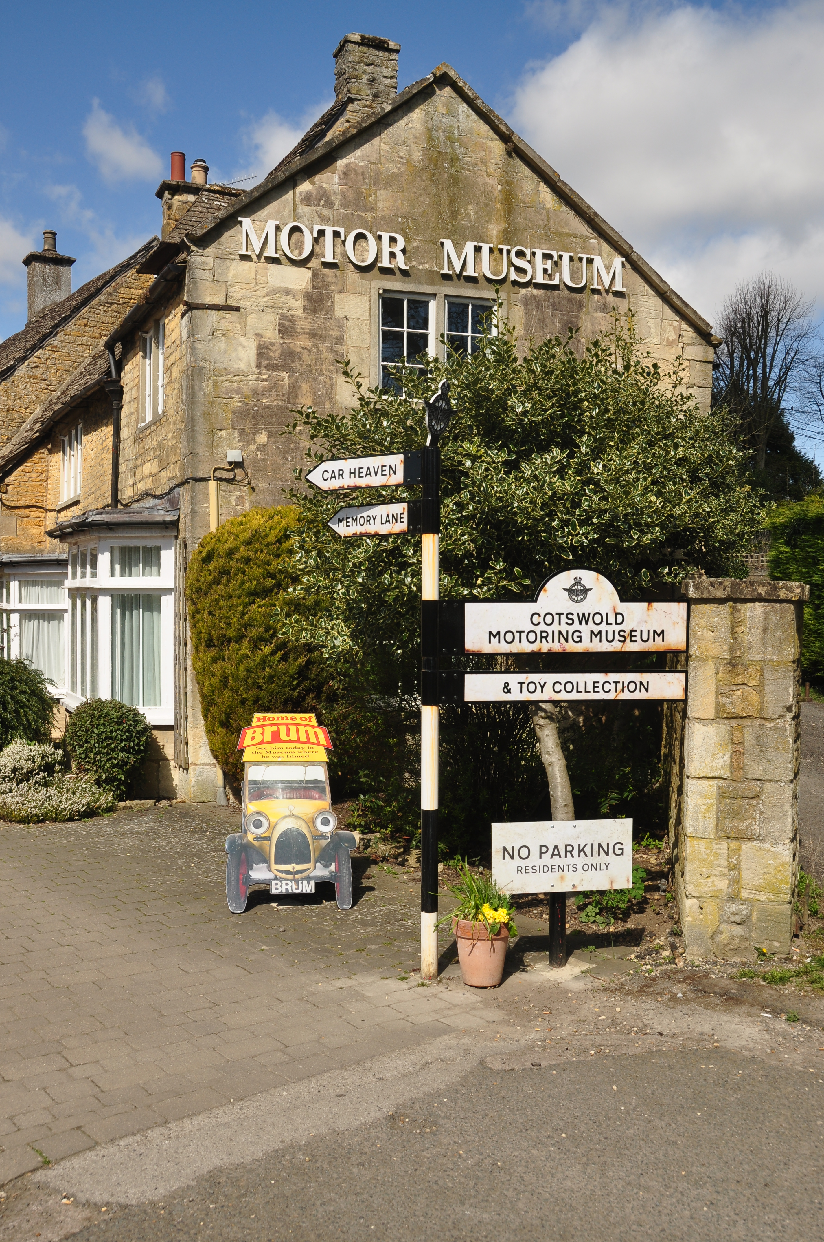
Cotswold Motoring Museum
The Cotswold Motoring Museum is a museum in the Cotswolds village of Bourton-on-the-Water, Gloucestershire, England. It features motoring history of the...
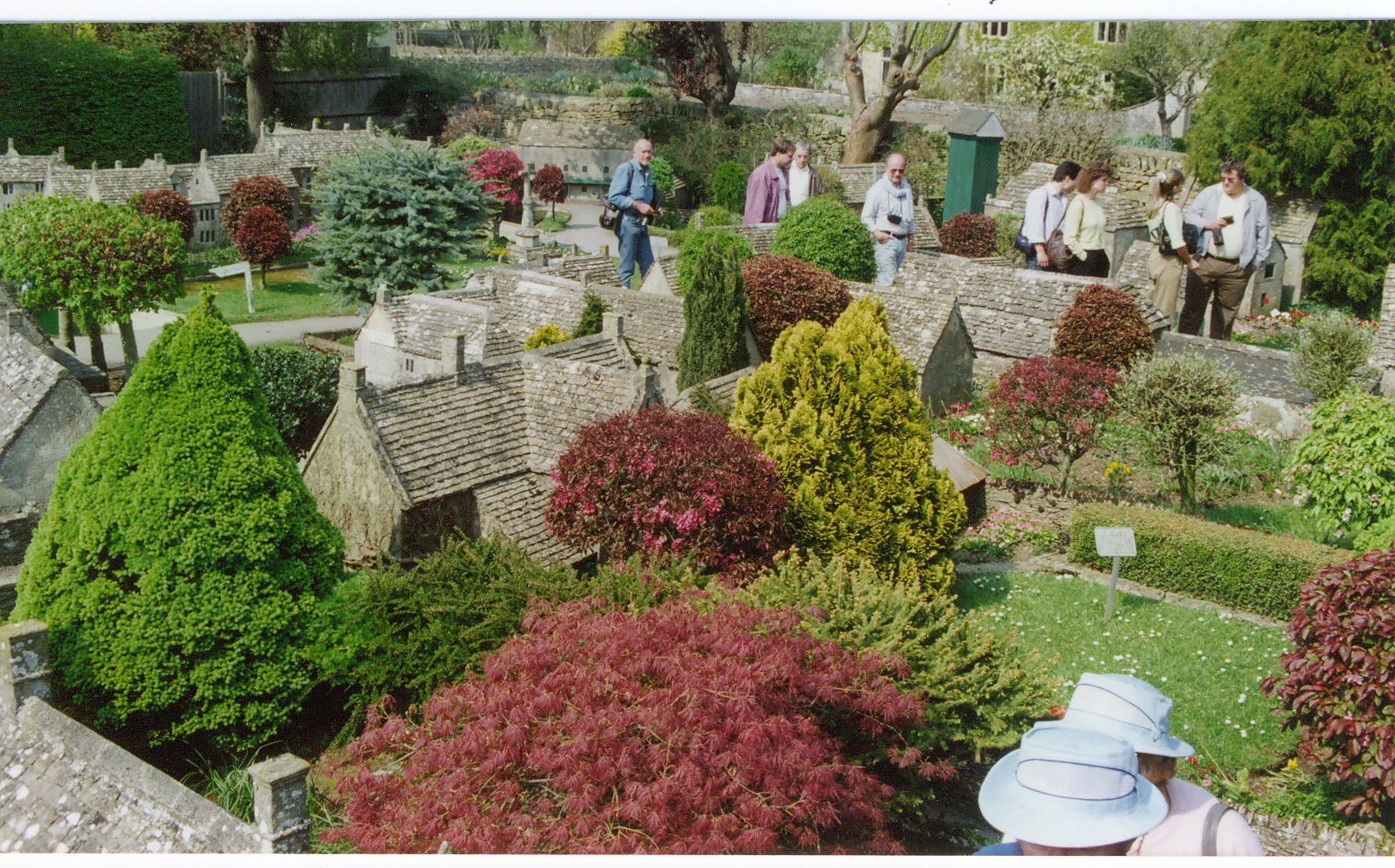
Bourton-on-the-Water model village
Bourton-on-the-Water model village is a scale model village in the grounds of the Old New Inn in Bourton-on-the-Water, Gloucestershire, England. One of...
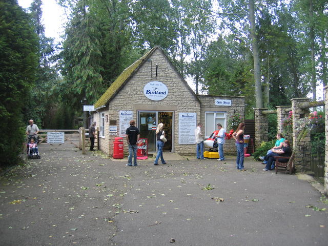
Birdland Park and Gardens
Birdland Park and Gardens, often called Birdland, is a wildlife park in Bourton-on-the-Water, Gloucestershire, England. First opened in 1957, the park...

Bourton Rovers F.C.
Bourton Rovers Football Club is a football club based in Bourton-on-the-Water, Gloucestershire, England. Affiliated to the Gloucestershire County Football...
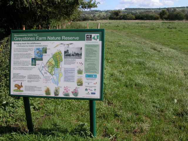
Salmonsbury Meadows SSSI
Salmonsbury Meadows (grid reference SP178213) is an 18-hectare (44-acre) biological and geological Site of Special Scientific Interest in Gloucestershire...
Nearby Amenities
Located within 500m of 51.889986,-1.7657214Have you been to Brickyard Coppice?
Leave your review of Brickyard Coppice below (or comments, questions and feedback).