Fearon's Wood

Wood, Forest in Durham

England

Fearon's Wood

Derelict East Park farm
Derelict East Park farm Credit: peter robinson

Fearon's Wood is a beautiful forest located in Durham, England. Spread across a vast area, it is a popular destination for nature enthusiasts, hikers, and bird watchers. The wood is known for its diverse wildlife and tranquil atmosphere, making it an ideal escape from the hustle and bustle of everyday life.

The woodland is characterized by its dense canopy of trees, predominantly consisting of oak, ash, and beech species. These towering trees provide shade and shelter, creating a cool and serene environment. The forest floor is covered with a rich carpet of ferns, wildflowers, and mosses, adding to the picturesque beauty of the wood.

Fearon's Wood is home to a variety of wildlife species, including deer, foxes, badgers, and a wide array of bird species. Birdwatchers can spot common woodland birds such as woodpeckers, owls, and finches. The forest also attracts migratory birds during certain seasons, making it a paradise for bird lovers.

Several well-marked walking trails wind through the wood, offering visitors the opportunity to explore its natural wonders at their own pace. These trails take visitors through different habitats, including meadows and ponds, allowing them to experience the diverse ecosystems within the forest.

The wood is open to the public year-round and entrance is free, making it accessible to all. It is managed by local authorities who ensure its conservation and protection. Fearon's Wood is not only a natural haven but also a valuable educational resource, hosting guided walks and nature workshops for schools and community groups.

Overall, Fearon's Wood is a captivating destination where visitors can immerse themselves in nature's beauty and tranquility while enjoying the sights and sounds of a thriving woodland ecosystem.

If you have any feedback on the listing, please let us know in the comments section below.

Fearon's Wood Images

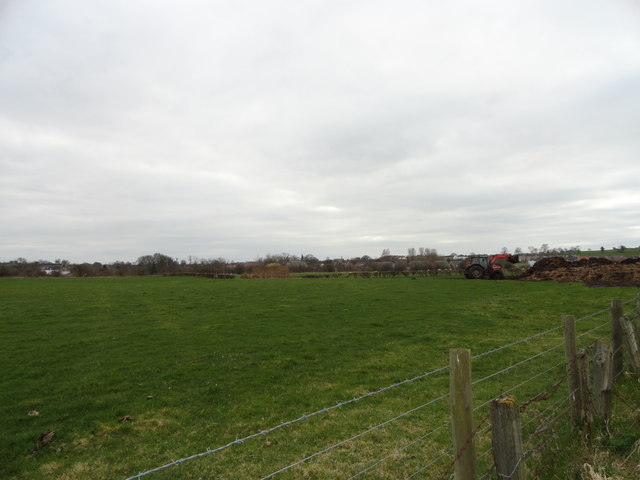
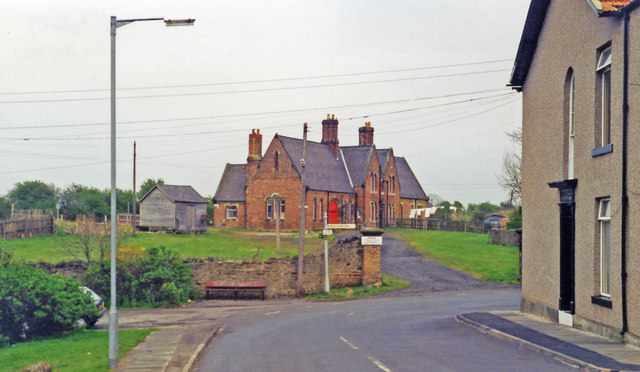
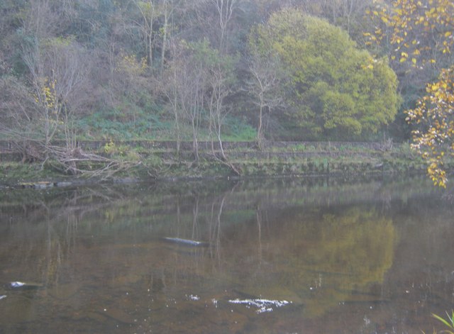
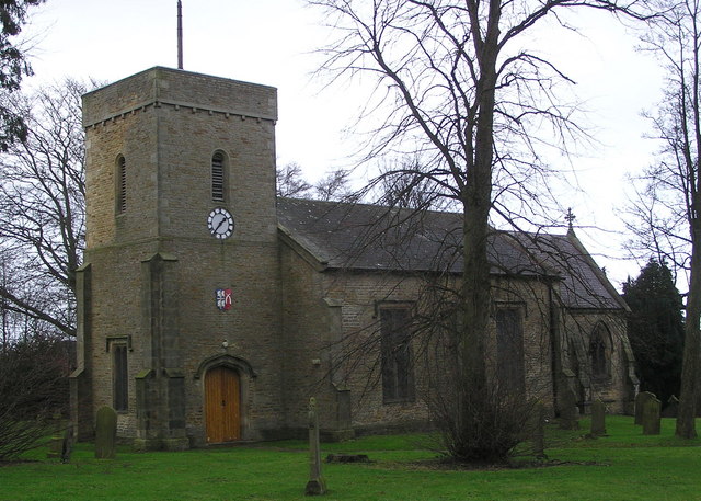
Images are sourced within 2km of 54.660709/-1.7508864 or Grid Reference NZ1629. Thanks to Geograph Open Source API. All images are credited.

Derelict East Park farm
Reedbed at Low Barns nature reserve Low Barns is a reserve of the Durham Wildlife Trust. The view here is from the 'Northumbrian Water Hide' over a drably lit reedbed to brilliantly sunlit autumnal larch trees beyond.
Reedbed at Low Barns nature reserve
Low Barns is a reserve of the Durham Wildlife Trust. The view here is from the 'Northumbrian Water Hide' over a drably lit reedbed to brilliantly sunlit autumnal larch trees beyond.
Looking along Low Lane Road leading East from Witton-le-Wear.
Looking along Low Lane
Road leading East from Witton-le-Wear.
The visitor centre at Low Barnes Low Barnes is a reserve of Durham Wildlife Trust.
The visitor centre at Low Barnes
Low Barnes is a reserve of Durham Wildlife Trust.
Alder wood at Low Barnes Alders will grow in wet conditions and these occupy a former oxbow lake which was once the course of the River Wear.
Alder wood at Low Barnes
Alders will grow in wet conditions and these occupy a former oxbow lake which was once the course of the River Wear.
Road leading onto the bridge over the Wear
Junction of the Weardale Way The Weardale Way runs along the road for a short distance from here through the village of Witton Park before cutting off into the fields again.
Junction of the Weardale Way
The Weardale Way runs along the road for a short distance from here through the village of Witton Park before cutting off into the fields again.
View across the fields to Witton Park Looking from the Weardale Way just North of the village. The farmer was doing his muck spreading.
View across the fields to Witton Park
Looking from the Weardale Way just North of the village. The farmer was doing his muck spreading.
The run down to Witton-le-Wear (A68) Approaching the bridge over the River Wear, with a road off left to Hamsterly Forest before the crossing point.
The run down to Witton-le-Wear (A68)
Approaching the bridge over the River Wear, with a road off left to Hamsterly Forest before the crossing point.
Railway near Witton Park The railway route running from Bishop Auckland into Weardale was used for freight traffic into the 1990's although only at that time as a means of transporting cement from the (then) Blue Circle works at Eastgate; road transport then took over. The railway has since seen a new life as a heritage line but now there's an industrial use again; open casted coal is trucked (controversially) to Wolsingham and then transported by this line to the main network via Bishop Auckland. That the line is still in use is shown by the polished state of the rails.
Railway near Witton Park
The railway route running from Bishop Auckland into Weardale was used for freight traffic into the 1990's although only at that time as a means of transporting cement from the (then) Blue Circle works at Eastgate; road transport then took over. The railway has since seen a new life as a heritage line but now there's an industrial use again; open casted coal is trucked (controversially) to Wolsingham and then transported by this line to the main network via Bishop Auckland. That the line is still in use is shown by the polished state of the rails.
Charcoal burning site in Low Barns Nature Reserve
Etherley: former station, 1995 View NE, towards Bishop Auckland: ex-NE lines west and north from Bishop Auckland to:- Wearhead (closed (passengers) 29/6/53, goods later, until 1994 to Eastgate), Tow Law (closed 11/6/56, to Crook (8/3/65, goods 1/11/65). The station has been reopened occasionally since 1991 as 'Witton Park' for excursions, but is not available yet on the heritage Weardale Railway which passes through.
Etherley: former station, 1995
View NE, towards Bishop Auckland: ex-NE lines west and north from Bishop Auckland to:- Wearhead (closed (passengers) 29/6/53, goods later, until 1994 to Eastgate), Tow Law (closed 11/6/56, to Crook (8/3/65, goods 1/11/65). The station has been reopened occasionally since 1991 as 'Witton Park' for excursions, but is not available yet on the heritage Weardale Railway which passes through.
Charcoal burning site at Low Barns Low Barns is one of the main nature reserves operated by Durham Wildlife Trust; there, an activity is the production of charcoal where wood is processed by 'burning' in the iron containers. Burning of course is a misnomer; charcoal is created, generally from wood, by heating it with oxygen excluded to prevent actual combustion resulting in the carbon residue known by the name.
Charcoal burning site at Low Barns
Low Barns is one of the main nature reserves operated by Durham Wildlife Trust; there, an activity is the production of charcoal where wood is processed by 'burning' in the iron containers. Burning of course is a misnomer; charcoal is created, generally from wood, by heating it with oxygen excluded to prevent actual combustion resulting in the carbon residue known by the name.
Footpath towards the Northumbrian Water Hide In Low Barns Nature Reserve
Footpath towards the Northumbrian Water Hide
In Low Barns Nature Reserve
Seating in Low Barns Nature Reserve Next to a path near an area of deep water, signed nearby
Seating in Low Barns Nature Reserve
Next to a path near an area of deep water, signed nearby
Retaining walls for the north bank of the River Wear Seen from Low Barns Nature Reserve
Retaining walls for the north bank of the River Wear
Seen from Low Barns Nature Reserve
Seating and signage in Low Barns Nature Reserve
River Wear at Witton With a large gravel bank in the bed of the river; looking downstream from Witton Bridge.
River Wear at Witton
With a large gravel bank in the bed of the river; looking downstream from Witton Bridge.
Show me another place!

Fearon's Wood is located at Grid Ref: NZ1629 (Lat: 54.660709, Lng: -1.7508864)

Unitary Authority: County Durham

Police Authority: Durham

What 3 Words

///robes.grafted.encoded. Near High Etherley, Co. Durham

Nearby Locations

Fearon's Wood Phoenix Row

Related Wikis

Phoenix Row

Phoenix Row incorporating Belts Gill and Softley Dene Farm (formerly Glebe Farm) is a hamlet of about 30 houses in County Durham, in England. It is situated...

High Etherley

High Etherley is a village in County Durham, England. It is situated on a hill approximately 4 miles west of Bishop Auckland. Entering High Etherley on...
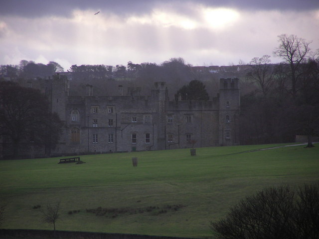
Witton Castle

Witton Castle is a much-altered 15th-century castle, which is the centrepiece of a holiday and caravan country park at Witton le Wear, near Bishop Auckland...

Witton Park

Witton Park is a village in County Durham, in England. It is situated to the west of Bishop Auckland. In 2001 it had a population of 384. == Famous... ==

Nearby Amenities

Located within 500m of 54.660709,-1.7508864
Bus Stop
New Inn Farm
Naptan AtcoCode: 13007400A
Naptan Bearing: N
Naptan CommonName: New Inn Farm
Naptan Indicator: north bound
Naptan Landmark: Landmark not known
Naptan NaptanCode: durdwgpt
Naptan Notes: On Bank Well- S of New Inn Farm- near junction with Sloshes Lane- N of High Etherley
Naptan Street: Street not known
Naptan Verified: no
Source: naptan_import
Lat/Long: 54.6607385/-1.7432068
New Inn Farm
Place: isolated_dwelling
Source Name: OS_OpenData_StreetView
Lat/Long: 54.6612215/-1.7435002
The data included in this document is from www.openstreetmap.org. The data is made available under ODbL.

Have you been to Fearon's Wood?

Leave your review of Fearon's Wood below (or comments, questions and feedback).