Carter's Leys Coppice
Wood, Forest in Gloucestershire Cotswold
England
Carter's Leys Coppice

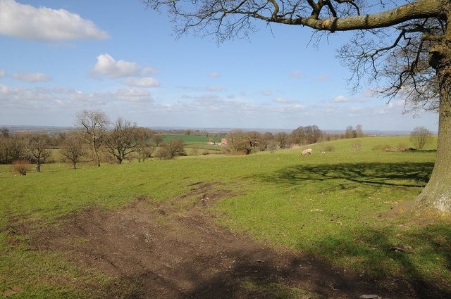
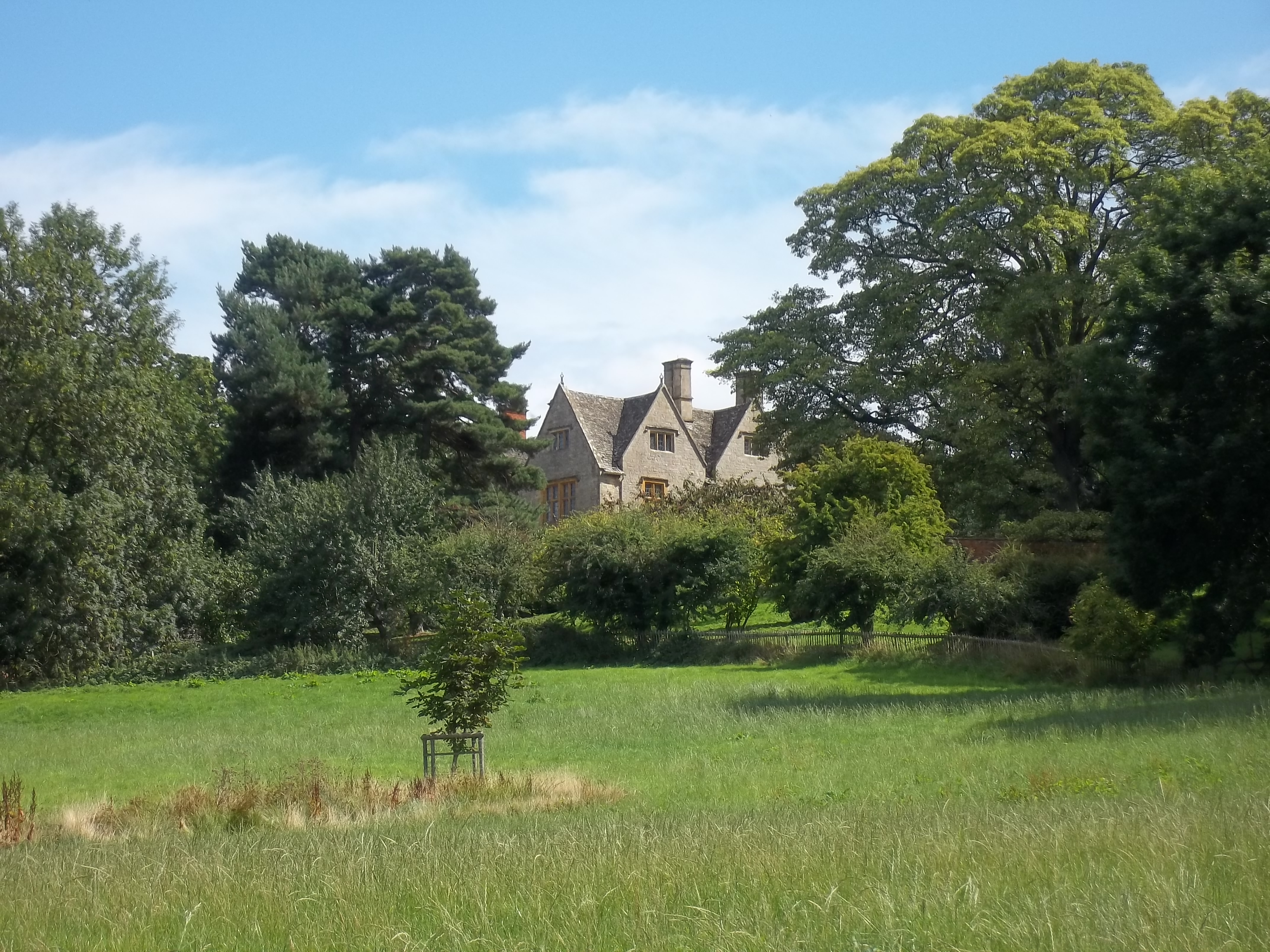
Carter's Leys Coppice is a picturesque woodland located in Gloucestershire, England. Spanning over a vast area, it is a popular destination for nature enthusiasts and those seeking tranquility amidst the beauty of nature. The copse is nestled within the heart of the Gloucestershire countryside, surrounded by rolling hills and fields, providing a serene escape from the hustle and bustle of urban life.
The woodland is predominantly composed of native broadleaf trees, including oak, ash, and beech, which create a diverse and vibrant ecosystem. The dense canopy formed by the towering trees allows only dappled sunlight to filter through, casting an enchanting glow on the forest floor. This creates the perfect environment for a variety of flora and fauna to thrive.
Visitors to Carter's Leys Coppice can expect to encounter a rich array of wildlife. The woodland is home to numerous bird species, such as woodpeckers, owls, and songbirds, filling the air with their melodious voices. Small mammals like squirrels, foxes, and rabbits can also be spotted darting through the undergrowth, while reptiles and amphibians inhabit the damp areas near the streams that meander through the forest.
There are several well-maintained trails that wind their way through the woodland, providing visitors with the opportunity to explore and discover its hidden treasures. These paths lead to secluded clearings, where visitors can pause and immerse themselves in the peaceful ambience of the woods. The copse is also a popular spot for picnics, with designated areas offering picnic tables and benches.
Carter's Leys Coppice is a true haven for nature lovers, offering a glimpse into the beauty and diversity of Gloucestershire's woodlands. Its serene atmosphere, breathtaking scenery, and abundant wildlife make it a must-visit destination for anyone seeking solace in nature's embrace.
If you have any feedback on the listing, please let us know in the comments section below.
Carter's Leys Coppice Images
Images are sourced within 2km of 52.075457/-1.7663141 or Grid Reference SP1641. Thanks to Geograph Open Source API. All images are credited.


Carter's Leys Coppice is located at Grid Ref: SP1641 (Lat: 52.075457, Lng: -1.7663141)
Administrative County: Gloucestershire
District: Cotswold
Police Authority: Gloucestershire
What 3 Words
///shrubbery.pastels.power. Near Mickleton, Gloucestershire
Nearby Locations
Related Wikis

Campden Tunnel Gravel Pit
Campden Tunnel Gravel Pit (grid reference SP161408) is a 0.2-hectare (0.49-acre) geological Site of Special Scientific Interest in Gloucestershire, notified...

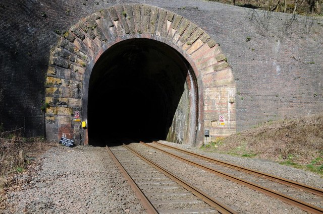
Mickleton Halt railway station
Mickleton Halt was a railway station on the Great Western Railway line between Oxford and Worcester Shrub Hill to serve Mickleton and the surrounding villages...
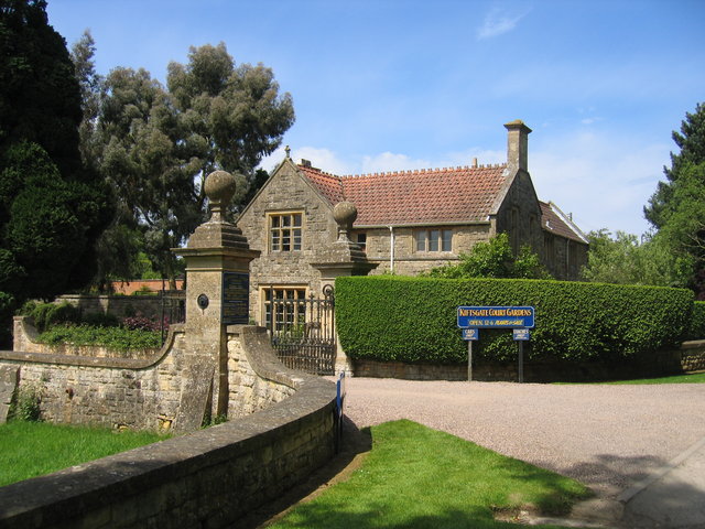
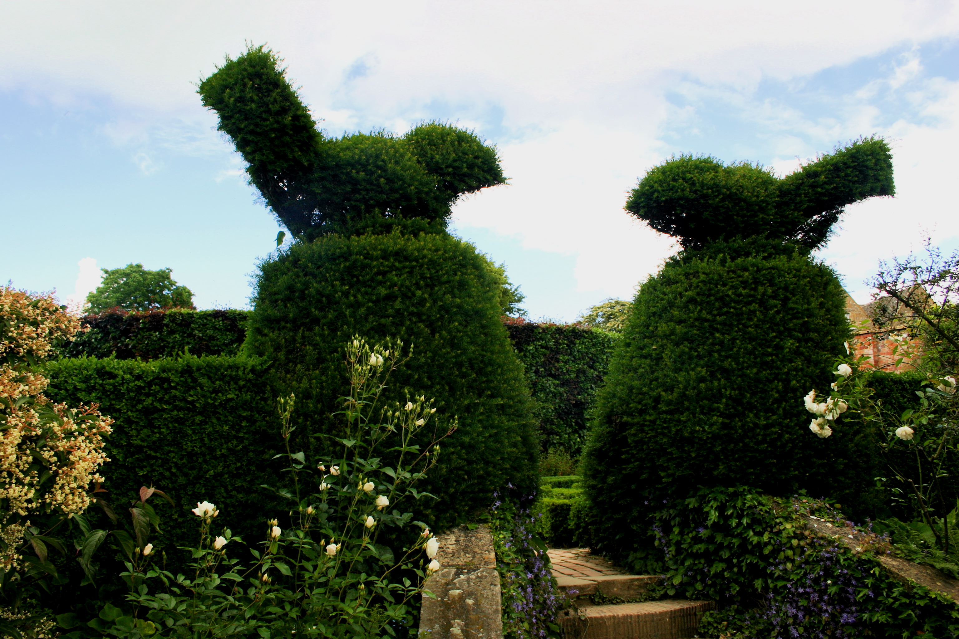
Kiftsgate Court Gardens
Kiftsgate Court Gardens is situated above the village of Mickleton in the county of Gloucestershire, England, in the far north of the county close to the...
Burnt Norton (house)
Burnt Norton is a manor house in Aston-sub-Edge, near Chipping Campden, Gloucestershire, best known for being the inspiration for T. S. Eliot's poem of...
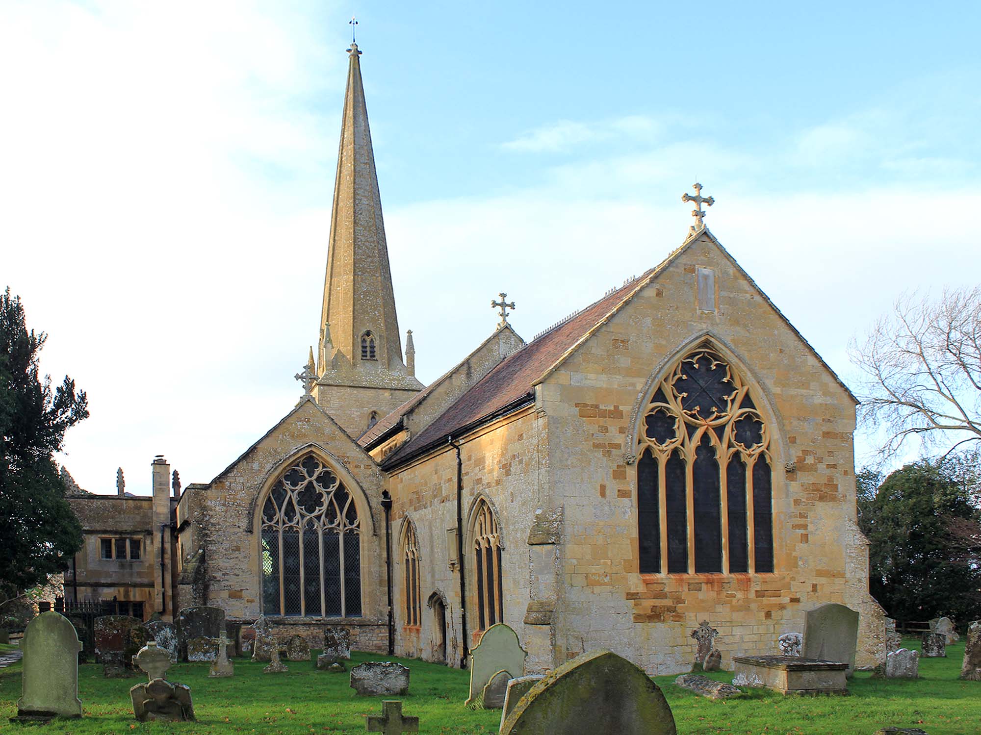
Church of St Lawrence, Mickleton
The Anglican Church of St Lawrence at Mickleton in the Cotswold District of Gloucestershire, England was built in the 12th century. It is a grade I listed...
Hidcote Manor Garden
Hidcote Manor Garden is a garden in the United Kingdom, located at the village of Hidcote Bartrim, near Chipping Campden, Gloucestershire. It is one of...

Three Ways House Hotel
Three Ways House Hotel is a hotel in Mickleton, Gloucestershire, England. Built in 1871 as a house for a doctor, the now hotel features a weekly dining...

Mickleton, Gloucestershire
Mickleton is a village and civil parish in the Cotswold District of Gloucestershire, England. The village is the northernmost settlement in Gloucestershire...
Nearby Amenities
Located within 500m of 52.075457,-1.7663141Have you been to Carter's Leys Coppice?
Leave your review of Carter's Leys Coppice below (or comments, questions and feedback).