Cricket Clump

Wood, Forest in Gloucestershire Cotswold

England

Cricket Clump

Road to Blockley Greenway Road leads down into Blockley.
Road to Blockley Credit: Clint Mann

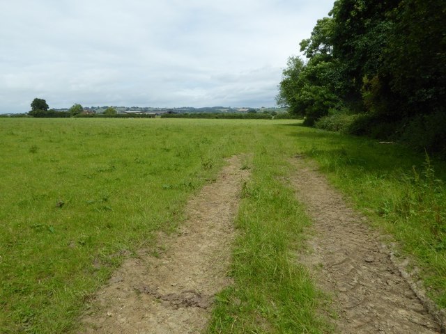
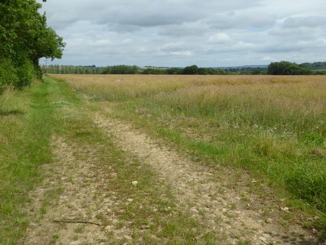
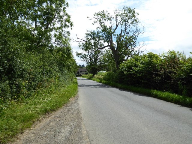
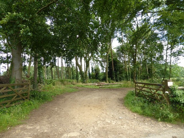
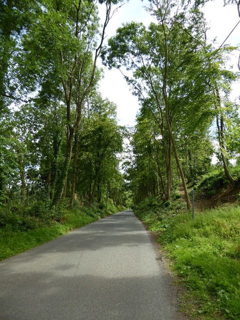
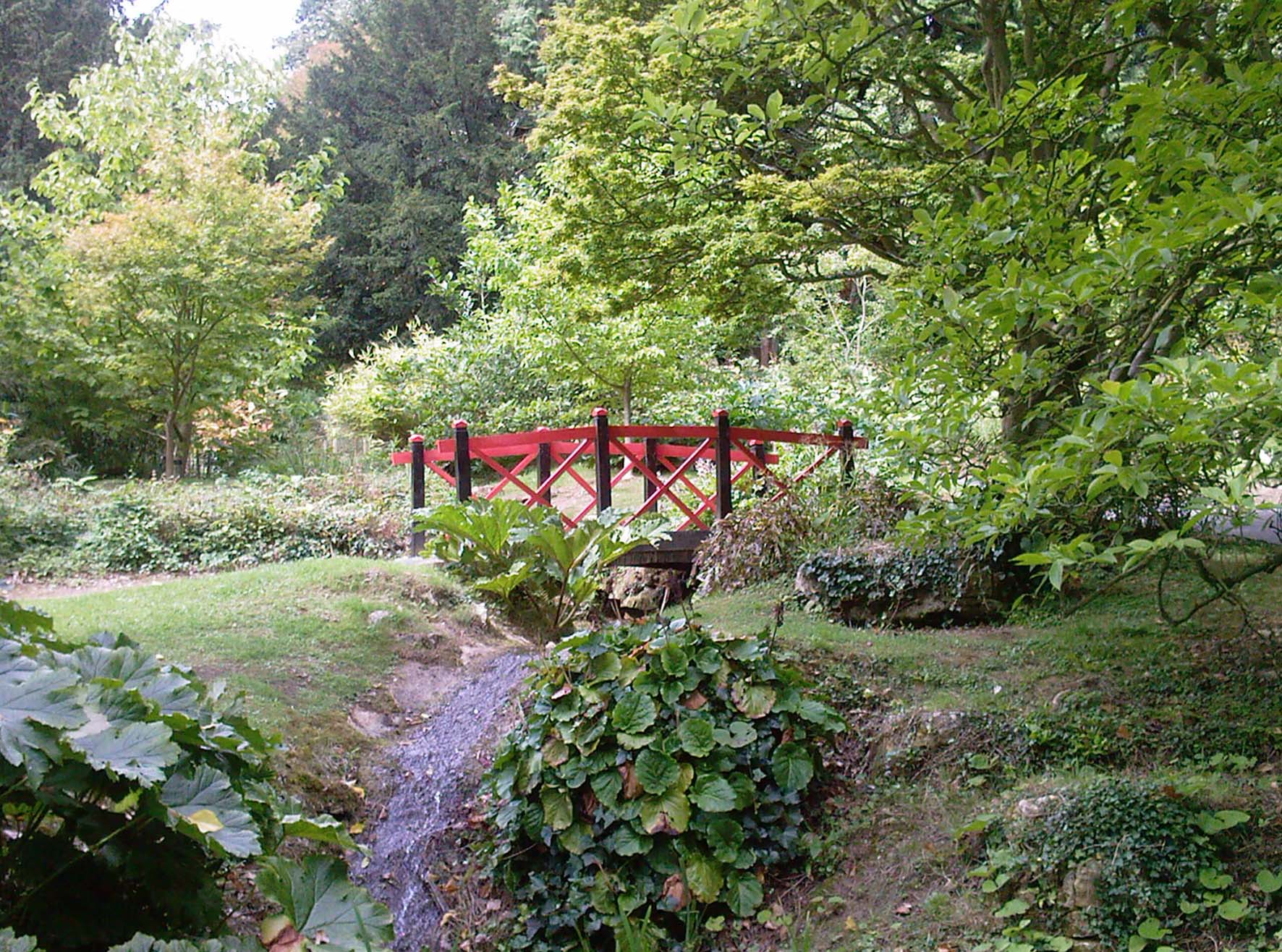
Cricket Clump is a small woodland area located in Gloucestershire, England. Situated in the county's Forest of Dean, it covers an approximate area of 20 acres. The clump is named after the abundance of crickets that can be heard chirping in the area during the summer months.

The woodland is predominantly made up of broadleaf trees such as oak, beech, and ash, creating a lush and vibrant environment. These trees provide a dense canopy overhead, allowing only dappled sunlight to filter through to the forest floor. This creates a cool and shaded atmosphere, perfect for a leisurely walk or a peaceful picnic.

Cricket Clump is home to a variety of wildlife species, including birds such as woodpeckers, thrushes, and owls. Squirrels can often be seen darting among the treetops, while rabbits and foxes are known to frequent the undergrowth. The woodland floor is also carpeted with a diverse range of plants and flowers, including bluebells, primroses, and ferns.

The clump is a popular destination for nature enthusiasts and outdoor enthusiasts alike. There are several well-maintained walking trails that wind through the woodland, providing visitors with the opportunity to explore its beauty. The peacefulness and tranquility of Cricket Clump make it an ideal spot for birdwatching, photography, and simply enjoying the natural surroundings.

Overall, Cricket Clump in Gloucestershire is a charming woodland area, offering visitors a chance to escape the hustle and bustle of everyday life and immerse themselves in the beauty of nature.

If you have any feedback on the listing, please let us know in the comments section below.

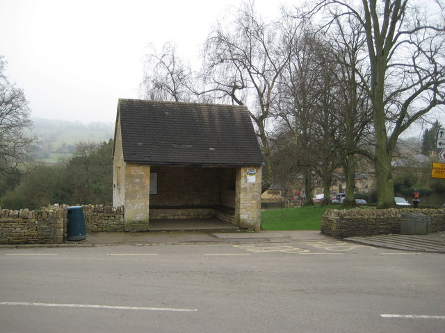
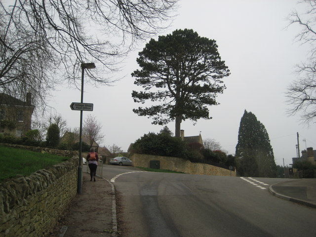
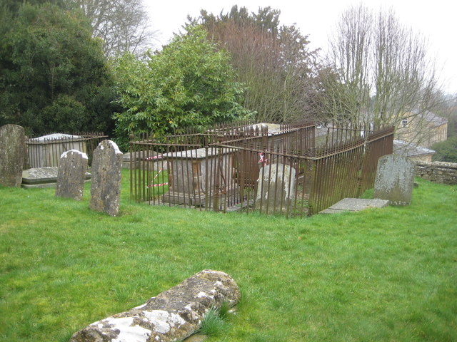
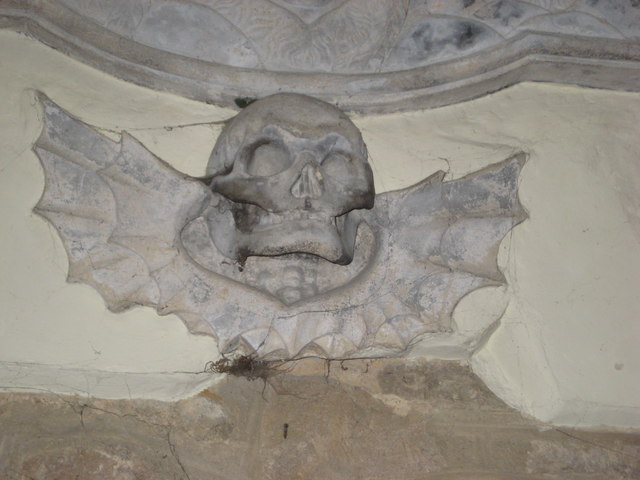
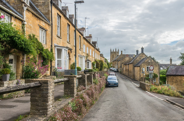
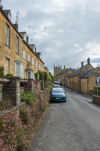
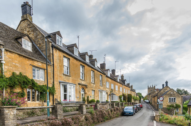
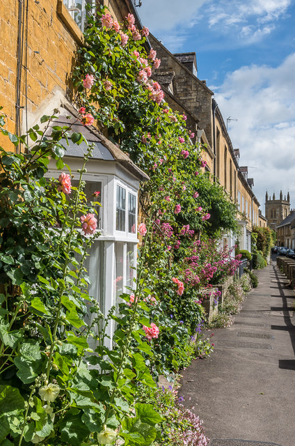
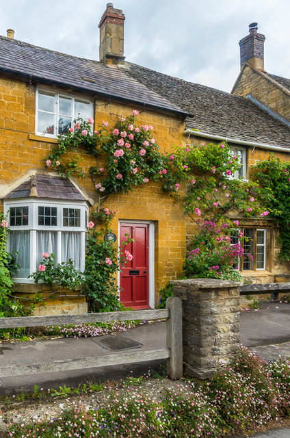
Cricket Clump Images

Images are sourced within 2km of 52.017217/-1.7672293 or Grid Reference SP1635. Thanks to Geograph Open Source API. All images are credited.

Road to Blockley Greenway Road leads down into Blockley.
Road to Blockley
Greenway Road leads down into Blockley.
Field near Grey stone Farm A bridleway follows the hedgerow to the right of this field near GreyStone Farm which can be seen by the hedge to the left.
Field near Grey stone Farm
A bridleway follows the hedgerow to the right of this field near GreyStone Farm which can be seen by the hedge to the left.
Headland track near Wellacres Farm Headland track near Wellacres Farm to the north of the village of Draycott.
Headland track near Wellacres Farm
Headland track near Wellacres Farm to the north of the village of Draycott.
Entrance to Northwick Business Centre Entrance to Northwick Business Centre near the village of Draycott.
Entrance to Northwick Business Centre
Entrance to Northwick Business Centre near the village of Draycott.
Oak tree beside the road An oak tree in the hedgerow beside a country road near Draycott.
Oak tree beside the road
An oak tree in the hedgerow beside a country road near Draycott.
Road approaching Draycott
Woodland belt at Northwick Park Entrance to a woodland belt beside a country road passing Northwick Park, near Blockley.
Woodland belt at Northwick Park
Entrance to a woodland belt beside a country road passing Northwick Park, near Blockley.
Road passing through Beech Plantation Road passing through Beech Plantation in Northwick Park.
Road passing through Beech Plantation
Road passing through Beech Plantation in Northwick Park.
The reason for 'Doing Posh' The dedication plaque for the village bus shelter.
The Coronation of Queen Elizabeth II.
The reason for 'Doing Posh'
The dedication plaque for the village bus shelter. The Coronation of Queen Elizabeth II.
Blockley does posh Whilst the camera does not capture the warmth of the Cotswold stone.
This is one well kept and crafted bus shelter.
It is over 60 years old and commemorates Queen Elizabeth II Coronation.
<a href="https://www.geograph.org.uk/photo/5308627">SP1635 : The reason for 'Doing Posh'</a> has a photo of the plaque.
Blockley does posh
Whilst the camera does not capture the warmth of the Cotswold stone. This is one well kept and crafted bus shelter. It is over 60 years old and commemorates Queen Elizabeth II Coronation. SP1635 : The reason for 'Doing Posh' has a photo of the plaque.
Green in Winter A rather grand conifer in Lower Street.
Green in Winter
A rather grand conifer in Lower Street.
I have a question Are the railings to keep us out or them in?
Quite a number of tombs in this church yard have railings around them.
One would speculate that these are post WWII.
The tomb in front is a bale reflecting the wool trade of the past.
I have a question
Are the railings to keep us out or them in? Quite a number of tombs in this church yard have railings around them. One would speculate that these are post WWII. The tomb in front is a bale reflecting the wool trade of the past.
We are but mortal Not a tribute to a chapter of Hell's Angels. 
But a grim reminder from the stonemason that we are all mortal.
We are but mortal
Not a tribute to a chapter of Hell's Angels. But a grim reminder from the stonemason that we are all mortal.
High Street Looking along High Street.  In the left centre of the photo is Bankside, a building of 17th Century origins remodelled in around 1800.  Grade II listed - see <span class="nowrap"><a title="www.historicengland.org.uk/listing/the-list/list-entry/1304362" rel="nofollow ugc noopener" href="http://www.historicengland.org.uk/listing/the-list/list-entry/1304362">Link</a><img style="margin-left:2px;" alt="External link" title="External link - shift click to open in new window" src="https://s1.geograph.org.uk/img/external.png" width="10" height="10"/></span>.
High Street
Looking along High Street. In the left centre of the photo is Bankside, a building of 17th Century origins remodelled in around 1800. Grade II listed - see LinkExternal link.
High Street Looking along High Street.  The house on the left of the photo is Bankside, a building of 17th Century origins remodelled in around 1800.  Grade II listed - see <span class="nowrap"><a title="www.historicengland.org.uk/listing/the-list/list-entry/1304362" rel="nofollow ugc noopener" href="http://www.historicengland.org.uk/listing/the-list/list-entry/1304362">Link</a><img style="margin-left:2px;" alt="External link" title="External link - shift click to open in new window" src="https://s1.geograph.org.uk/img/external.png" width="10" height="10"/></span>.
High Street
Looking along High Street. The house on the left of the photo is Bankside, a building of 17th Century origins remodelled in around 1800. Grade II listed - see LinkExternal link.
High Street Looking along High Street.  The house in the left centre of the photo is Bankside, a building of 17th Century origins remodelled in around 1800.  Grade II listed - see <span class="nowrap"><a title="www.historicengland.org.uk/listing/the-list/list-entry/1304362" rel="nofollow ugc noopener" href="http://www.historicengland.org.uk/listing/the-list/list-entry/1304362">Link</a><img style="margin-left:2px;" alt="External link" title="External link - shift click to open in new window" src="https://s1.geograph.org.uk/img/external.png" width="10" height="10"/></span>.
High Street
Looking along High Street. The house in the left centre of the photo is Bankside, a building of 17th Century origins remodelled in around 1800. Grade II listed - see LinkExternal link.
Hill View Early 19th Century cottage on High Street.  Grade II listed - see <span class="nowrap"><a title="www.historicengland.org.uk/listing/the-list/list-entry/1153336" rel="nofollow ugc noopener" href="http://www.historicengland.org.uk/listing/the-list/list-entry/1153336">Link</a><img style="margin-left:2px;" alt="External link" title="External link - shift click to open in new window" src="https://s1.geograph.org.uk/img/external.png" width="10" height="10"/></span>.
Hill View
Early 19th Century cottage on High Street. Grade II listed - see LinkExternal link.
Show me another place!

Cricket Clump is located at Grid Ref: SP1635 (Lat: 52.017217, Lng: -1.7672293)

Administrative County: Gloucestershire

District: Cotswold

Police Authority: Gloucestershire

What 3 Words

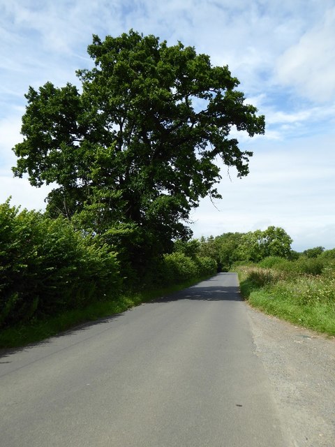
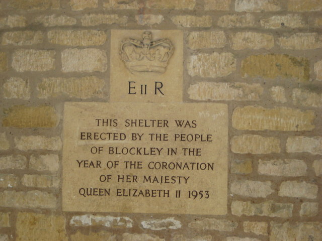
///spires.perplexed.deny. Near Blockley, Gloucestershire

Nearby Locations

Cricket Clump Oak Coppice

Related Wikis

Blockley

Blockley is a village, civil parish and ecclesiastical parish in the Cotswold district of Gloucestershire, England, about 3 miles (5 km) northwest of Moreton...

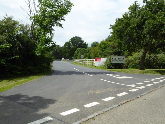
Northwick Park, Gloucestershire

Northwick Park is a residential estate and business centre near Blockley in Gloucestershire, England. The estate is built in the grounds of the former...

Broad Campden

Broad Campden is a small village in Gloucestershire, England, with a church and pub, and notable for its beauty and fine walking trails. == History... ==

Draycott, Gloucestershire

Draycott is a small hamlet in north Gloucestershire between Moreton-in-Marsh and Blockley, within Blockley civil parish. It is not mentioned in Domesday...

Wellacre Quarry

Wellacre Quarry (grid reference SP180370) is a 12.3 hectare geological Site of Special Scientific Interest in Gloucestershire, notified in 1974. It is...

Blockley railway station

Blockley railway station served the village of Blockley, Gloucestershire, England from 1853 to 1966 on the Oxford, Worcester and Wolverhampton Railway...

Batsford

Batsford is a village and civil parish in the Cotswold district of Gloucestershire, England. The village is about 1½ miles north-west of Moreton-in...

Batsford Arboretum

Batsford Arboretum is a 55-acre (220,000 m2) arboretum and botanical garden near Batsford in Gloucestershire, England, about 1½ miles north-west of Moreton...

Nearby Amenities

Located within 500m of 52.017217,-1.7672293
Barrier: stile
Source: survey
Lat/Long: 52.0207266/-1.7649478
Bus Stop
St George's Hall
Bus: yes
Naptan AtcoCode: 1600GL513
Naptan Bearing: N
Naptan CommonName: St George's Hall
Naptan NaptanCode: glogdtwp
Naptan Street: Park Road
Naptan Verified: no
Public Transport: platform
Source: naptan_import
Lat/Long: 52.0153167/-1.7624701
Bus Stop
St George's Hall
Bus: yes
Naptan AtcoCode: 1600GL514
Naptan Bearing: S
Naptan CommonName: St George's Hall
Naptan Indicator: Opp
Naptan NaptanCode: glogdtwt
Naptan Street: Park Road
Naptan Verified: no
Public Transport: platform
Source: naptan_import
Lat/Long: 52.0154423/-1.7623529
Barrier: stile
Source: survey
Lat/Long: 52.0174151/-1.7649443
Barrier: stile
Foot: yes
Lat/Long: 52.0142637/-1.7649676
Grit Bin
Source: survey
Lat/Long: 52.0139887/-1.764896
Information: guidepost
Source: survey
Tourism: information
Lat/Long: 52.0139918/-1.7648173
Post Box
Post Box Type: wall
Ref: GL56 180D
Royal Cypher: EIIR
Royal Cypher Wikidata: Q33102113
Lat/Long: 52.0163789/-1.7622462
Park Road Blockley
Power: pole
Transformer: distribution
Voltage Primary: 11000
Lat/Long: 52.0174947/-1.7614134
Power: pole
Lat/Long: 52.017593/-1.7601997
Village Hall Blockley
Power: pole
Transformer: distribution
Voltage Primary: 11000
Lat/Long: 52.015376/-1.7630509
Power: pole
Lat/Long: 52.01535/-1.7634264
Park Hall
Power: pole
Transformer: distribution
Voltage Primary: 11000
Lat/Long: 52.0144206/-1.763479
Location Transition: yes
Power: pole
Lat/Long: 52.0143546/-1.7644262
Power: pole
Lat/Long: 52.0151107/-1.7647118
Power: pole
Lat/Long: 52.0149662/-1.765489
Power: pole
Lat/Long: 52.0148094/-1.766299
Power: pole
Lat/Long: 52.0145676/-1.7675851
Power: pole
Lat/Long: 52.0143381/-1.7688303
Power: pole
Lat/Long: 52.0141743/-1.7697094
Power: pole
Lat/Long: 52.0139044/-1.7711498
The data included in this document is from www.openstreetmap.org. The data is made available under ODbL.

Have you been to Cricket Clump?

Leave your review of Cricket Clump below (or comments, questions and feedback).