Cleeve Wood
Wood, Forest in Gloucestershire Cotswold
England
Cleeve Wood
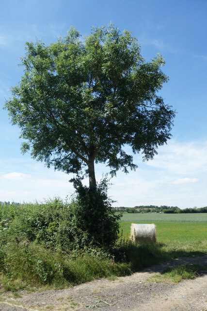
Cleeve Wood is a charming woodland area located in Gloucestershire, England. Situated near the village of Bishops Cleeve, this woodland covers an area of approximately 70 hectares, providing a picturesque natural landscape for visitors to explore.
The wood is predominantly made up of deciduous trees, including oak, beech, and ash, which create a diverse and vibrant canopy throughout the year. The forest floor is adorned with a variety of wildflowers, such as bluebells and primroses, adding bursts of color to the peaceful surroundings.
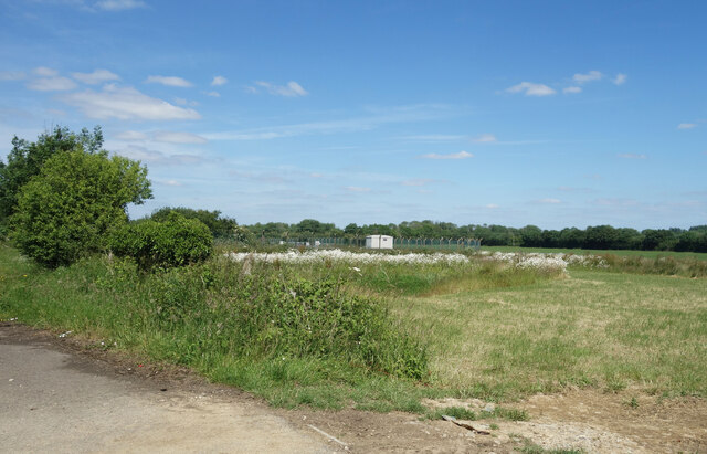
Cleeve Wood boasts a network of well-maintained walking trails, allowing visitors to easily navigate the area and enjoy its tranquil ambiance. These paths wind through the trees, offering glimpses of the local wildlife, including squirrels, foxes, and a wide array of bird species. Nature enthusiasts can also spot occasional roe deer, adding an extra element of excitement to their woodland adventures.
The wood is not only a haven for flora and fauna but also holds historical significance. It is believed that the area has been wooded since prehistoric times, and evidence of ancient human activity, such as burial mounds and earthworks, can still be found within its boundaries.
Cleeve Wood is a popular destination for both locals and tourists seeking a peaceful retreat. With its natural beauty, diverse wildlife, and historical importance, it offers a unique experience for anyone looking to immerse themselves in the beauty of Gloucestershire's countryside.
If you have any feedback on the listing, please let us know in the comments section below.
Cleeve Wood Images
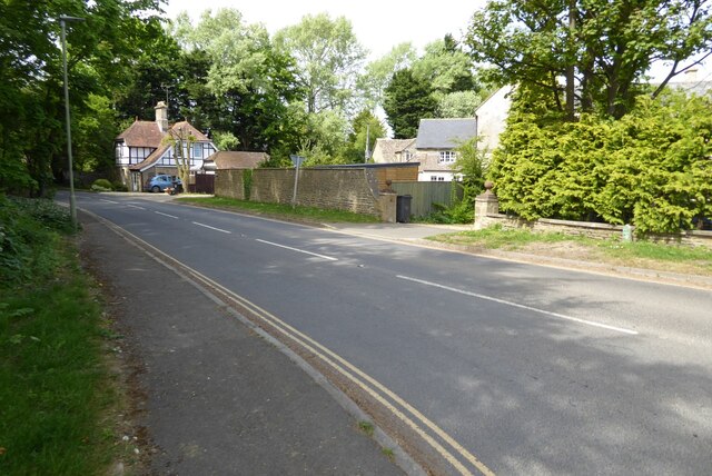
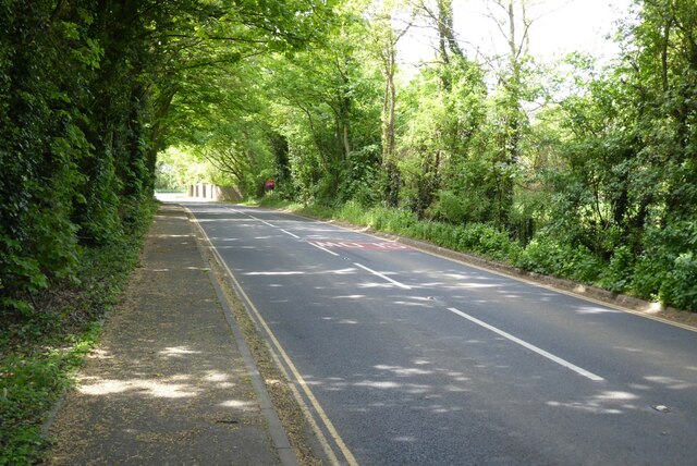
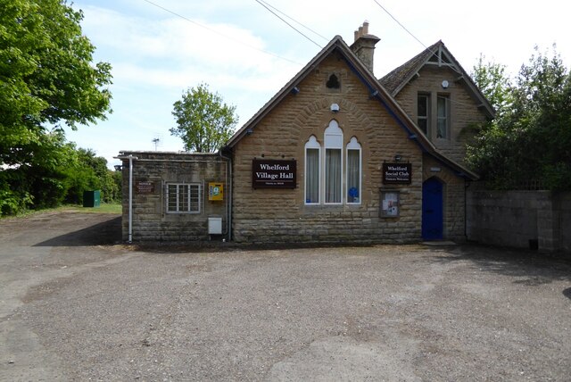
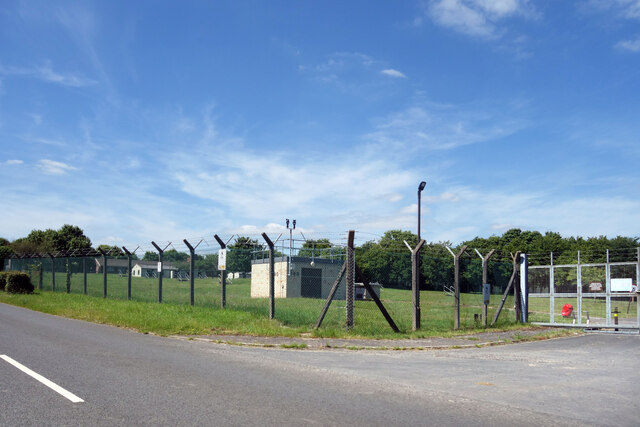
Images are sourced within 2km of 51.70129/-1.7695177 or Grid Reference SP1600. Thanks to Geograph Open Source API. All images are credited.


Cleeve Wood is located at Grid Ref: SP1600 (Lat: 51.70129, Lng: -1.7695177)
Administrative County: Gloucestershire
District: Cotswold
Police Authority: Gloucestershire
What 3 Words
///crockery.glue.slippers. Near Fairford, Gloucestershire
Nearby Locations
Related Wikis

Fairford Town F.C.
Fairford Town Football Club is a football club based in Fairford, Gloucestershire, England. Affiliated to the Gloucestershire County Football Association...

Whelford Meadow
Whelford Meadow (grid reference SP168000) is a 1.86-hectare (4.6-acre) biological Site of Special Scientific Interest in Gloucestershire, England, notified...
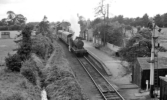
Fairford railway station
Fairford railway station served the town of Fairford in Gloucestershire. It was the western terminus of the Oxford, Witney and Fairford Railway between...
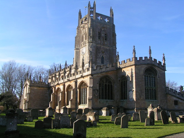
St Mary's Church, Fairford
St Mary's Church is a Church of England church in Fairford, Gloucestershire, England. It is notable for its complete set of 28 medieval stained-glass...

Fairford
Fairford is a market town in Gloucestershire, England. The town lies in the Cotswold hills on the River Coln, 6 miles (9.7 km) east of Cirencester, 4 miles...

Fairford Park
Fairford Park is a 4,200-acre (1,700 ha) estate in the southern Cotswolds in Gloucestershire, England, close to the small town of Fairford. Purchased by...
Farmor's School
Farmor's School is a secondary school with academy status in Fairford, Gloucestershire. Including the Sixth Form, the school currently has about 1,000...
Whelford
Whelford is a village in the civil parish of Kempsford, in the Cotswold district, in the county of Gloucestershire, England. Whelford lies in the Cotswold...
Nearby Amenities
Located within 500m of 51.70129,-1.7695177Have you been to Cleeve Wood?
Leave your review of Cleeve Wood below (or comments, questions and feedback).