Cubley Covert
Wood, Forest in Derbyshire Derbyshire Dales
England
Cubley Covert
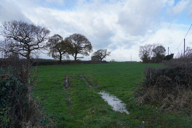
Cubley Covert is a charming woodland located in Derbyshire, England. Spread across a vast area, this forested region offers a serene and picturesque landscape for nature lovers and outdoor enthusiasts. With its lush greenery, diverse flora and fauna, and tranquil atmosphere, Cubley Covert provides a perfect retreat from the bustling city life.
The woodland is primarily composed of deciduous trees, such as oak, birch, and beech, which create a dense canopy overhead. This canopy not only provides shade but also acts as a habitat for various bird species, including woodpeckers, owls, and thrushes. Additionally, the forest floor is adorned with an array of wildflowers, adding bursts of color to the surroundings.
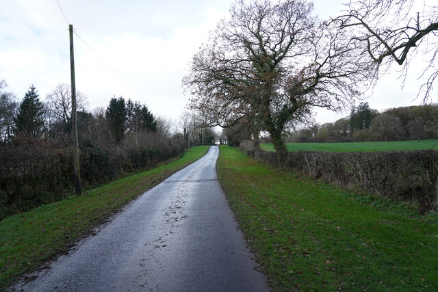
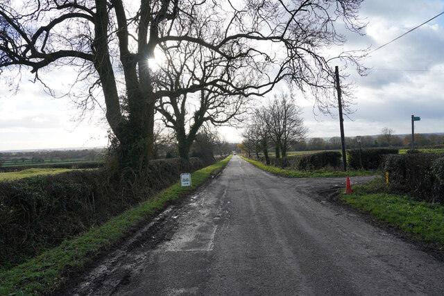
Cubley Covert is intersected by several winding trails, ideal for leisurely walks or invigorating hikes. These paths meander through the forest, allowing visitors to explore its hidden gems, such as secluded clearings, babbling brooks, and small ponds. Along the way, one might also stumble upon ancient tree stumps or fallen logs, which serve as reminders of the area's rich history and natural diversity.
For those interested in wildlife observation, Cubley Covert offers plenty of opportunities to spot various creatures, including deer, rabbits, squirrels, and foxes. The peaceful ambiance allows for a harmonious coexistence between humans and animals, making it an ideal spot for photography or simply immersing oneself in the beauty of nature.
Overall, Cubley Covert is a delightful woodland retreat, inviting visitors to immerse themselves in its natural splendor and experience a sense of tranquility amidst the Derbyshire countryside.
If you have any feedback on the listing, please let us know in the comments section below.
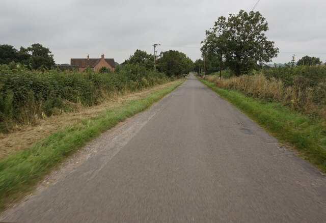
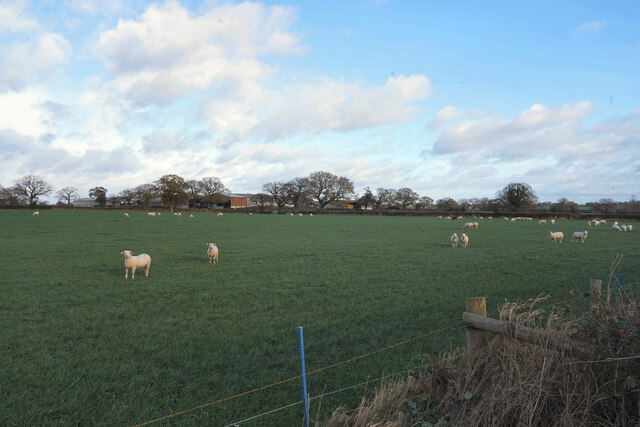
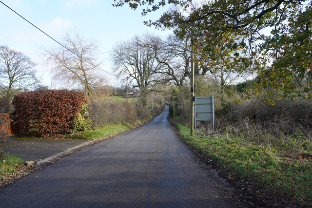
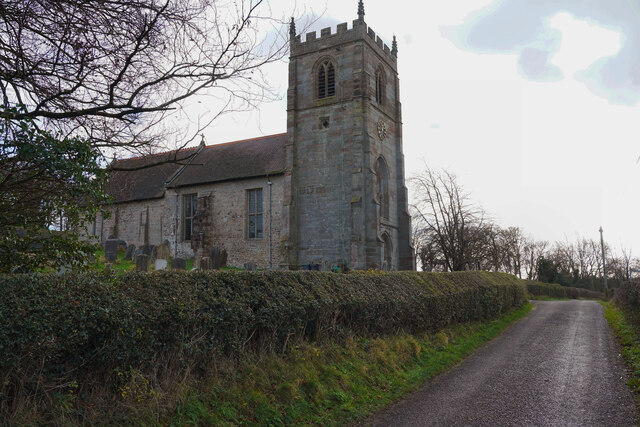
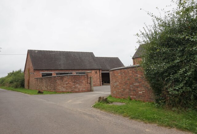
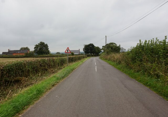
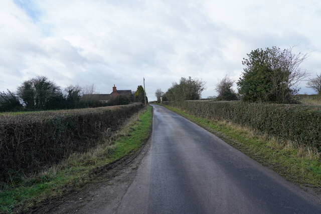
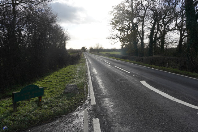
Cubley Covert Images
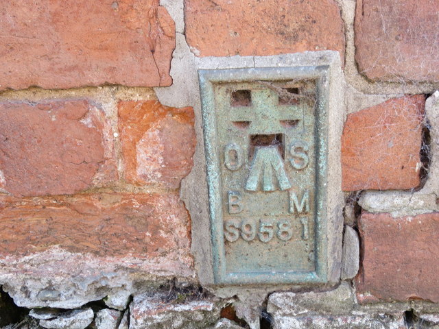
Images are sourced within 2km of 52.951952/-1.7639449 or Grid Reference SK1539. Thanks to Geograph Open Source API. All images are credited.


Cubley Covert is located at Grid Ref: SK1539 (Lat: 52.951952, Lng: -1.7639449)
Administrative County: Derbyshire
District: Derbyshire Dales
Police Authority: Derbyshire
What 3 Words
///bleat.unafraid.curiosity. Near Mayfield, Staffordshire
Nearby Locations
Related Wikis

Cubley, Derbyshire
Cubley is a parish of two closely linked villages six miles (10 km) south of Ashbourne in Derbyshire. Great Cubley and Little Cubley are known collectively...

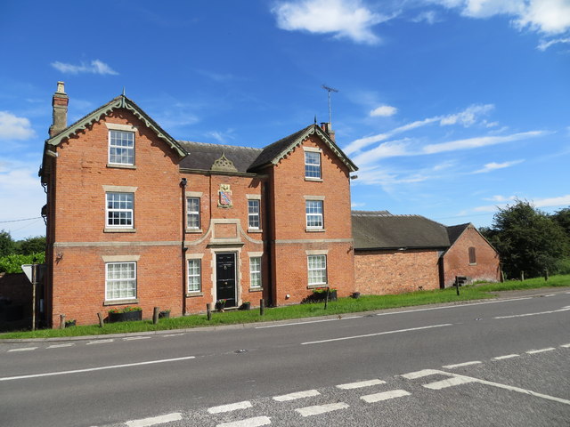
Stydd Hall
Stydd Hall (Castle) is a country house located near to the village of Yeaveley, Derbyshire, 15 miles (24 km) west of Derby, close to the A515 between Wyaston...

Yeaveley Preceptory
Yeaveley Preceptory, also known as Stydd Preceptory, was a preceptory of the Knights Hospitaller, near the village of Yeaveley, in Derbyshire, England...
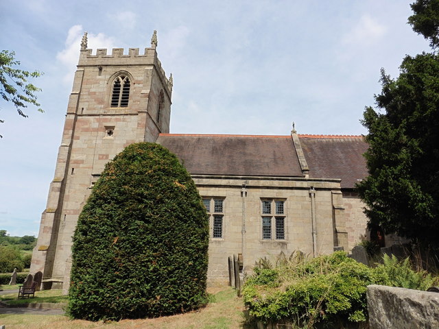
St Andrew's Church, Cubley
St Andrew's Church, Cubley is a Grade I listed parish church in the Church of England in Cubley, Derbyshire. == History == The church dates from the mid...
Nearby Amenities
Located within 500m of 52.951952,-1.7639449Have you been to Cubley Covert?
Leave your review of Cubley Covert below (or comments, questions and feedback).