Bog Wood
Wood, Forest in Durham
England
Bog Wood
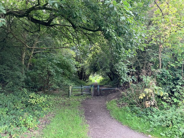
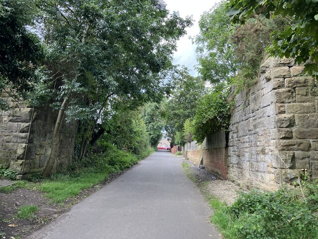
Bog Wood, located in Durham, England, is a unique and fascinating forest that holds great historical and ecological significance. Spanning over a vast area, this woodland is known for its distinctive wetland environment and the presence of ancient tree stumps preserved in its boggy ground.
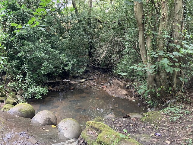
The forest is composed of a variety of tree species, including oak, birch, and willow, which thrive in the damp conditions created by the bog. These wetlands are formed by the accumulation of decaying plant material over centuries, resulting in a nutrient-rich and waterlogged soil. The forest floor is covered with mosses, grasses, and ferns, creating a lush and diverse habitat for numerous species of flora and fauna.
What sets Bog Wood apart from other forests is the remarkable presence of preserved tree stumps, some dating back thousands of years. These ancient stumps, known as bog oak, are remnants of trees that once grew in the area during prehistoric times. The unique combination of acidic and waterlogged conditions in the bog prevents the wood from decomposing, resulting in its remarkable preservation.
The bog oak has attracted the attention of archaeologists and scientists, who have used it to gain insights into the climate and environment of past eras. Additionally, the wood has been historically harvested for its durability and aesthetic appeal, leading to its use in furniture, construction, and even as fuel.
Bog Wood in Durham offers visitors an opportunity to explore a rare and captivating woodland environment, providing a glimpse into the area's ancient past and the wonders of nature's preservation capabilities.
If you have any feedback on the listing, please let us know in the comments section below.
Bog Wood Images
Images are sourced within 2km of 54.953053/-1.7535647 or Grid Reference NZ1562. Thanks to Geograph Open Source API. All images are credited.


Bog Wood is located at Grid Ref: NZ1562 (Lat: 54.953053, Lng: -1.7535647)
Unitary Authority: Gateshead
Police Authority: Northumbria
What 3 Words
///bonfires.fuse.trial. Near Blaydon-on-Tyne, Tyne & Wear
Nearby Locations
Related Wikis

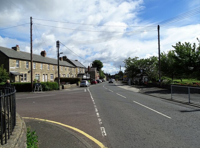
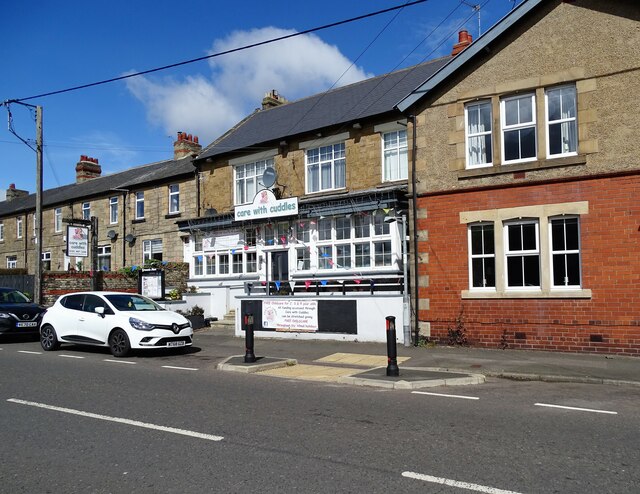
Winlaton
Winlaton is a village situated in the Metropolitan Borough of Gateshead, Tyne and Wear. Once in County Durham, it became incorporated into the metropolitan...
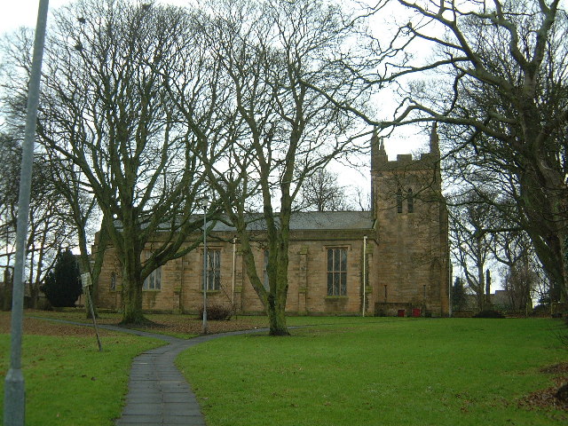
St Paul's Church, Winlaton
St Paul's Church is a 19th-century church in Winlaton, Tyne and Wear, England, dedicated to St Paul. It is a Grade II listed building. == History == The...
Ryton Woodside
Ryton Woodside is a hamlet south of Ryton, in the Gateshead district, in the county of Tyne and Wear, England. It is near the A659 road. Ryton Woodside...
Crookhill
Crookhill is an area of Ryton in Tyne and Wear, England. The original terraced housing was built mostly as accommodation for NCB workers, and lies to the...
Greenside, Tyne and Wear
Greenside is a village in the extreme west of the Metropolitan County of Tyne and Wear, England. Once an independent village in County Durham, it became...
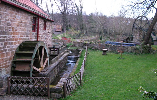
Path Head Watermill
Path Head Mill is an 18th-century water mill situated in Summerhill, Blaydon, Tyne and Wear, England where the Vale Mill Trust has been restoring the site...

St Thomas More Catholic School, Blaydon
St Thomas More Catholic School is a Roman Catholic secondary school with academy status in Blaydon, Tyne and Wear, England, providing teaching to 11- to...
Addison and Hedgefield Reserve
Addison and Hedgefield Reserve is a woodland area located in the region of Gateshead, United Kingdom, situated to the north of the B6317 to the west of...
Nearby Amenities
Located within 500m of 54.953053,-1.7535647Have you been to Bog Wood?
Leave your review of Bog Wood below (or comments, questions and feedback).