Southmill Hill Plantation

Wood, Forest in Wiltshire

England

Southmill Hill Plantation

Amesbury Town football pavilion
Amesbury Town football pavilion Credit: David Martin

The requested URL returned error: 429 Too Many Requests

If you have any feedback on the listing, please let us know in the comments section below.

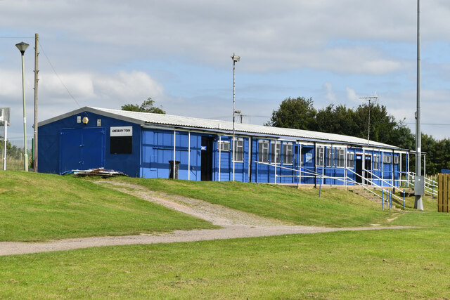
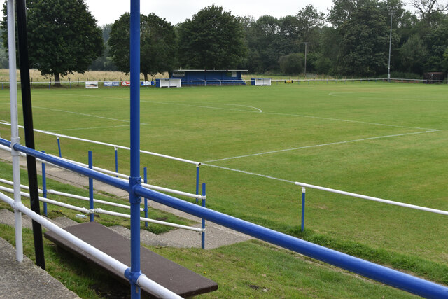
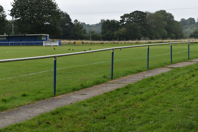
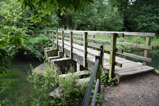
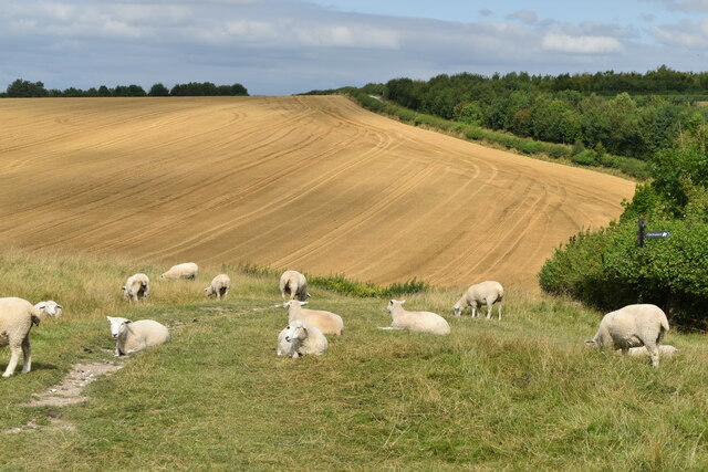
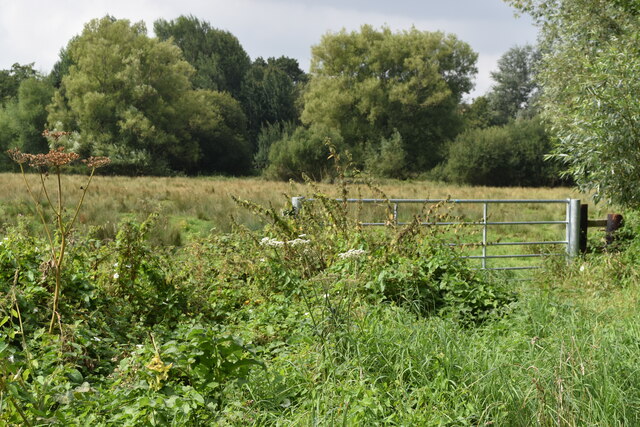
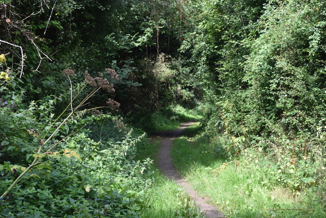
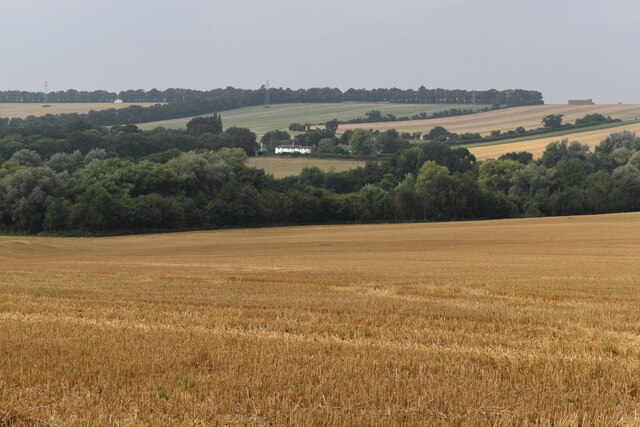
Southmill Hill Plantation Images

Images are sourced within 2km of 51.164892/-1.7761739 or Grid Reference SU1540. Thanks to Geograph Open Source API. All images are credited.

Amesbury Town football pavilion
Amesbury Town football ground From the veranda of the pavilion.
Amesbury Town football ground
From the veranda of the pavilion.
Amesbury Town football ground
Footbridge over River Avon
Track across meadows towards River Avon
Sheep on the path on Amesbury Down
Meadows beside the River Avon
River Avon at Normanton
Sergeant's Walk, in the Avon Valley
Avon Valley view The white house at the centre of the image is at Normanton.
Avon Valley view
The white house at the centre of the image is at Normanton.
New housing and apartments in Pritchard Way
Modern housing at Amesbury
Mill Green Road
Mill Green Road
River Avon at Amesbury
Chestnut tree in a carpark  A carpark in the centre of town surrounded by redevelopment.
Chestnut tree in a carpark
A carpark in the centre of town surrounded by redevelopment.
Earls Close, Amesbury A rather redundant little cul-de-sac with a roundabout at the end near to Boscombe Down in Amesbury, lined with trees on both sides. I'm sure it had a purpose at some point.
Earls Close, Amesbury
A rather redundant little cul-de-sac with a roundabout at the end near to Boscombe Down in Amesbury, lined with trees on both sides. I'm sure it had a purpose at some point.
Earls Close junction to Main Road, Amesbury The junction of Earls Close to Main Road in Amesbury, near Boscombe Down.
Earls Close junction to Main Road, Amesbury
The junction of Earls Close to Main Road in Amesbury, near Boscombe Down.
Amesbury Road byway The byway beside Boscombe Down in Amesbury, known as Amesbury Road.
Amesbury Road byway
The byway beside Boscombe Down in Amesbury, known as Amesbury Road.
Show me another place!

Southmill Hill Plantation is located at Grid Ref: SU1540 (Lat: 51.164892, Lng: -1.7761739)

Unitary Authority: Wiltshire

Police Authority: Wiltshire

What 3 Words

///harmlessly.tilting.spouting. Near Amesbury, Wiltshire

Nearby Locations

Southmill Hill Plantation

Related Wikis

Amesbury

Amesbury () is a town and civil parish in Wiltshire, England. It is known for the prehistoric monument of Stonehenge which is within the parish. The town...

Amesbury Abbey

Amesbury Abbey was a Benedictine abbey of women at Amesbury in Wiltshire, England, founded by Queen Ælfthryth in about the year 979 on what may have been...

Church of St Mary and St Melor, Amesbury

The Church of St Mary and St Melor is the parish church of the town of Amesbury, Wiltshire. The Grade I listed church dates from the 12th century and may...

The Stonehenge School

The Stonehenge School is a mixed comprehensive school in Amesbury, Wiltshire, England for children aged 11 to 16. As of December 2022, the school had 940...

Nearby Amenities

Located within 500m of 51.164892,-1.7761739
Mini Roundabout
Direction: clockwise
Lat/Long: 51.1687159/-1.7762117
Post Box
Brand: Royal Mail
Brand Wikidata: Q638098
Brand Wikipedia: en:Royal Mail
Operator: Royal Mail
Operator Wikidata: Q638098
Post Box Type: wall
Ref: SP4 230
Royal Cypher: GR
Royal Cypher Wikidata: Q33102273
Lat/Long: 51.1684549/-1.7758314
Power: pole
Lat/Long: 51.1686006/-1.7797522
Power: pole
Lat/Long: 51.1682508/-1.7788215
Power: pole
Lat/Long: 51.1679094/-1.7779256
Power: pole
Lat/Long: 51.1675444/-1.7769064
Power: pole
Lat/Long: 51.161566/-1.7777459
Power: pole
Lat/Long: 51.1625819/-1.7768769
Barrier: cycle_barrier
Lat/Long: 51.1676925/-1.7741446
Barrier: cycle_barrier
Lat/Long: 51.1672441/-1.7731377
Barrier: cycle_barrier
Lat/Long: 51.1671969/-1.773158
Street Lamp
Lat/Long: 51.1672067/-1.7732017
Bench
Lat/Long: 51.1685266/-1.7762385
The data included in this document is from www.openstreetmap.org. The data is made available under ODbL.

Have you been to Southmill Hill Plantation?

Leave your review of Southmill Hill Plantation below (or comments, questions and feedback).