Brick Kiln Rough

Wood, Forest in Derbyshire Derbyshire Dales

England

Brick Kiln Rough

The road to Sudbury Prison
The road to Sudbury Prison Credit: David Howard

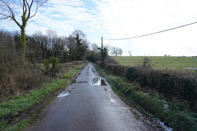
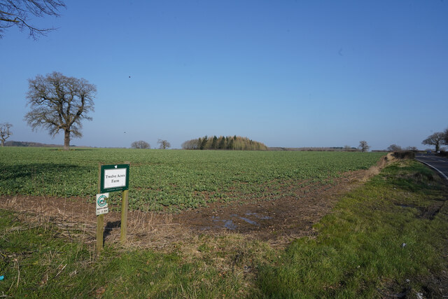
Brick Kiln Rough is a picturesque woodland located in the county of Derbyshire, England. Situated in the heart of the Peak District National Park, this wooded area covers a total area of approximately 100 acres. The forest is characterized by its dense canopy of mature trees, predominantly oak and beech, which provide a rich habitat for a variety of flora and fauna.

The woodland is renowned for its natural beauty, offering visitors a tranquil escape from the hustle and bustle of everyday life. The forest floor is carpeted with a diverse range of plants, including bluebells, wild garlic, and ferns, creating a vibrant and colorful landscape throughout the year.

Brick Kiln Rough is a popular destination for nature enthusiasts, hikers, and birdwatchers. The forest is home to a plethora of wildlife, including deer, foxes, badgers, and a wide variety of bird species. Birdwatchers can often spot woodpeckers, owls, and various songbirds in the area.

The forest is crisscrossed with a network of well-maintained paths and trails, making it ideal for leisurely walks and more challenging hikes. These trails offer visitors the opportunity to explore the woodland and discover its hidden gems, such as a small stream that meanders through the forest, adding to its charm.

Brick Kiln Rough is a haven for nature lovers, providing a peaceful sanctuary where visitors can immerse themselves in the beauty of the natural world. Whether it's admiring the vibrant colors of the changing seasons or simply enjoying the tranquility of the woodland, this forest is a must-visit destination for anyone seeking a connection with nature.

If you have any feedback on the listing, please let us know in the comments section below.

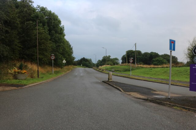
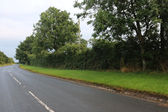
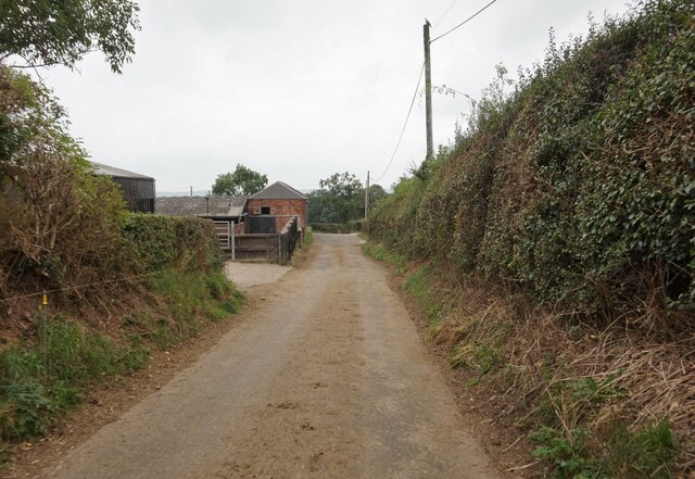
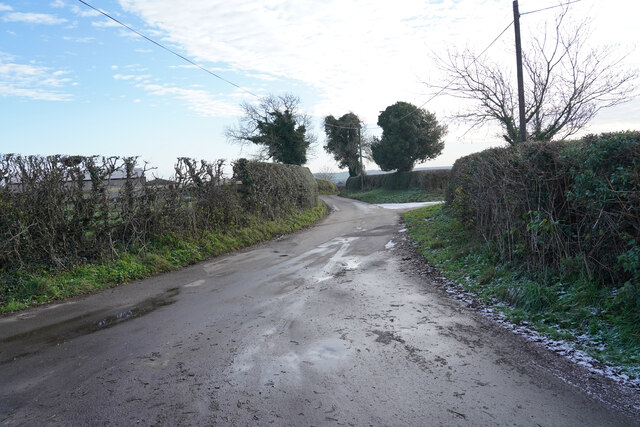
Brick Kiln Rough Images

Images are sourced within 2km of 52.89939/-1.7676792 or Grid Reference SK1533. Thanks to Geograph Open Source API. All images are credited.

The road to Sudbury Prison
Planter by the A515, Sudbury By the road to the prison
Planter by the A515, Sudbury
By the road to the prison
The road to Sudbury Prison At the junction of the A515
The road to Sudbury Prison
At the junction of the A515
The Sudbury Roundabout on the A50
Planter by the A515, Sudbury At the entrance to Sudbury Prison
Planter by the A515, Sudbury
At the entrance to Sudbury Prison
Derby Road, West Broughton
Minor road at Hill Farm
Minor road joins the A515
The road to Sudbury A road that has a sign saying narrow road with passing places, though I did not notice many passing plces, so it is a good job no traffic came in the opposite direction.
The road to Sudbury
A road that has a sign saying narrow road with passing places, though I did not notice many passing plces, so it is a good job no traffic came in the opposite direction.
Near Sudbury Prison Sudbury Prison is an Open Prison and used to have a large number of walk out prisoners in the 1980's though that now appears to have stopped.
Near Sudbury Prison
Sudbury Prison is an Open Prison and used to have a large number of walk out prisoners in the 1980's though that now appears to have stopped.
Twelve Acres Farm The fields of Twelve Acres Farm. I assume the farm is actually larger than twelve acres, otherwise it would be a very small farm.
Twelve Acres Farm
The fields of Twelve Acres Farm. I assume the farm is actually larger than twelve acres, otherwise it would be a very small farm.
Looking over the hedge A little further along the A515 and looking across the other side of the road from <a href="https://www.geograph.org.uk/photo/7113886">SK1534 : Twelve Acres Farm</a> the field is very similar.
Looking over the hedge
A little further along the A515 and looking across the other side of the road from SK1534 : Twelve Acres Farm the field is very similar.
Sheep grazing in a field near Sudbury
Sudbury Hall The south west elevation of Sudbury Hall, a National Trust manor house.
Sudbury Hall
The south west elevation of Sudbury Hall, a National Trust manor house.
Main Road, Sudbury in Derbyshire Sudbury is a village in Derbyshire associated with the nearby Sudbury Hall which can be seen in the background behind the smoke. It had a population of 1,010 in the 2011 census. Main Road was formerly the route of the A50 but a bypass was built in 1972. In the centre of the image can be seen the red oval containing the word 'POST OFFICE' indicating the village post office.
Main Road, Sudbury in Derbyshire
Sudbury is a village in Derbyshire associated with the nearby Sudbury Hall which can be seen in the background behind the smoke. It had a population of 1,010 in the 2011 census. Main Road was formerly the route of the A50 but a bypass was built in 1972. In the centre of the image can be seen the red oval containing the word 'POST OFFICE' indicating the village post office.
Sudbury Hall from rear gardens Sudbury Hall is a country house in Sudbury, Derbyshire. It is regarded as one of the country's finest Restoration mansions but is based on a Jacobean design. It has Grade I listed status.

The present house at Sudbury was built between 1660 and 1680 by George Vernon. He also built the estate village near the Hall to provide housing for his servants, labourers and tradesmen. The estate village buildings survive intact today.

In 1967 the Hall, its contents and gardens were sold to the National Trust in part-payment of death duties. In 2020 the hall was rebranded as the Children’s Country House at Sudbury with some of the  contents removed and the visitor experience remodelled for children. This change has raised controversy
Sudbury Hall from rear gardens
Sudbury Hall is a country house in Sudbury, Derbyshire. It is regarded as one of the country's finest Restoration mansions but is based on a Jacobean design. It has Grade I listed status. The present house at Sudbury was built between 1660 and 1680 by George Vernon. He also built the estate village near the Hall to provide housing for his servants, labourers and tradesmen. The estate village buildings survive intact today. In 1967 the Hall, its contents and gardens were sold to the National Trust in part-payment of death duties. In 2020 the hall was rebranded as the Children’s Country House at Sudbury with some of the contents removed and the visitor experience remodelled for children. This change has raised controversy
Gateway between Sudbury Hall and All Saints Church, Sudbury The gateway and attached walls are dated 1626. To the south, on each side, are ashlar panels, That on the left is inscribed OMNE BONUM/DEI DONUM (all good comes from God). The panel on the right  is inscribed with the initials V, E and M and the date ANNO/1626. The gateway and wall are grade II listed.
Gateway between Sudbury Hall and All Saints Church, Sudbury
The gateway and attached walls are dated 1626. To the south, on each side, are ashlar panels, That on the left is inscribed OMNE BONUM/DEI DONUM (all good comes from God). The panel on the right is inscribed with the initials V, E and M and the date ANNO/1626. The gateway and wall are grade II listed.
Inscription on left side of gateway between Sudbury Hall and church The inscription OMNE BONUM/DEI DONUM (All good comes from God) appears on an ashlar panel on the south side of the wall in which the gateway connecting Sudbury Hall and All Saints church is inset.
Inscription on left side of gateway between Sudbury Hall and church
The inscription OMNE BONUM/DEI DONUM (All good comes from God) appears on an ashlar panel on the south side of the wall in which the gateway connecting Sudbury Hall and All Saints church is inset.
Show me another place!

Brick Kiln Rough is located at Grid Ref: SK1533 (Lat: 52.89939, Lng: -1.7676792)

Administrative County: Derbyshire

District: Derbyshire Dales

Police Authority: Derbyshire

What 3 Words

///operating.candles.jammy. Near Doveridge, Derbyshire

Related Wikis

HM Prison Sudbury

HM Prison Sudbury is a Category D men's prison, located in the village of Sudbury in Derbyshire, England. The prison is operated by His Majesty's Prison...
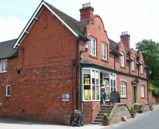
Oaks Green

Oaks Green is a village in Derbyshire, England. It is in the civil parish of Doveridge. == External links == Media related to Oaks Green at Wikimedia...

M64 motorway

The United Kingdom's M64 motorway was planned during the 1970s to link the M6 at Stoke-on-Trent with the M1 near Castle Donington, by way of Uttoxeter...
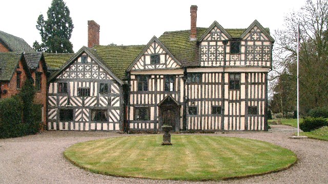
Sudbury Hall

Sudbury Hall is a country house in Sudbury, Derbyshire, England. One of the country's finest Restoration mansions, it has Grade I listed building status...

Sudbury, Derbyshire

Sudbury is a village and civil parish in Derbyshire, England, located about 9 miles (14 km) south of Ashbourne. It is part of the Derbyshire Dales district...

Aston Heath

Aston Heath is an area in Derbyshire, England. It is located 1 mile east of Sudbury, close to the A50 road. It takes its name from Aston, 1 mile southwest...

Aston, Derbyshire Dales

Aston is a hamlet in the civil parish of Sudbury in the district of Derbyshire Dales, Derbyshire, England. It lies at the junction of the A50 and A515...

Somersal Herbert

Somersal Herbert is a hamlet and civil parish in Derbyshire, England, 2 miles northeast of Doveridge. Somersal Herbert Hall was built c.1564, incorporating...

Nearby Amenities

Located within 500m of 52.89939,-1.7676792
Post Box
Brand: Royal Mail
Brand Wikidata: Q638098
Operator: Royal Mail
Operator Wikidata: Q638098
Post Box Mounting: pier
Post Box Type: lamp
Ref: DE6 354
Lat/Long: 52.8980641/-1.76773
Direction: SSW
Generator Method: photovoltaic
Generator Output Electricity: yes
Generator Solar Modules: 12
Generator Source: solar
Generator Type: solar_photovoltaic_panel
Location: roof
Power: generator
Lat/Long: 52.8976953/-1.767513
Direction: ESE
Generator Method: photovoltaic
Generator Output Electricity: yes
Generator Solar Modules: 15
Generator Source: solar
Generator Type: solar_photovoltaic_panel
Location: roof
Power: generator
Lat/Long: 52.8971591/-1.7681035
Direction: ESE
Generator Method: photovoltaic
Generator Output Electricity: yes
Generator Solar Modules: 15
Generator Source: solar
Generator Type: solar_photovoltaic_panel
Location: roof
Power: generator
Lat/Long: 52.8972255/-1.7670675
Direction: SSW
Generator Method: photovoltaic
Generator Output Electricity: yes
Generator Solar Modules: 13
Generator Source: solar
Generator Type: solar_photovoltaic_panel
Location: roof
Power: generator
Lat/Long: 52.8974981/-1.7669669
Direction: SSE
Generator Method: photovoltaic
Generator Output Electricity: yes
Generator Solar Modules: 12
Generator Source: solar
Generator Type: solar_photovoltaic_panel
Location: roof
Power: generator
Lat/Long: 52.8969172/-1.7674872
Direction: S
Generator Method: photovoltaic
Generator Output Electricity: yes
Generator Solar Modules: 16
Generator Source: solar
Generator Type: solar_photovoltaic_panel
Location: roof
Power: generator
Lat/Long: 52.8965188/-1.7665867
The data included in this document is from www.openstreetmap.org. The data is made available under ODbL.

Have you been to Brick Kiln Rough?

Leave your review of Brick Kiln Rough below (or comments, questions and feedback).