Gorse Covert
Wood, Forest in Derbyshire Derbyshire Dales
England
Gorse Covert
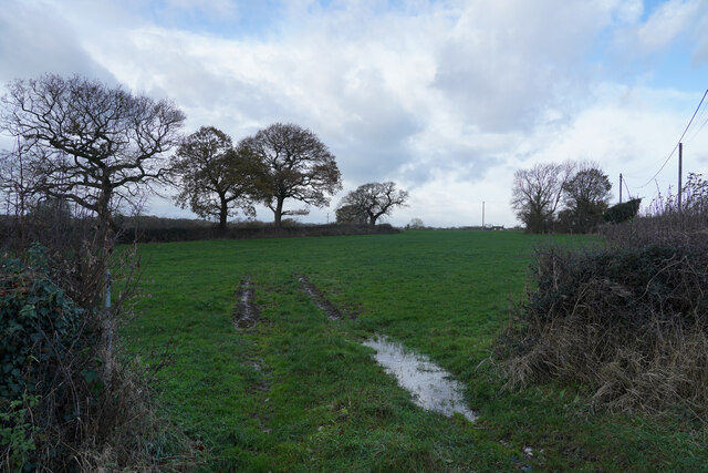
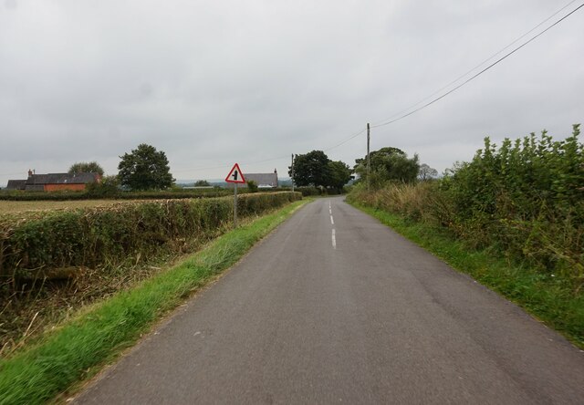
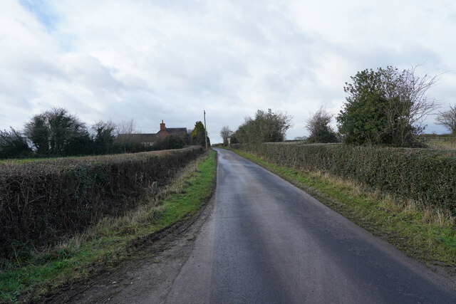
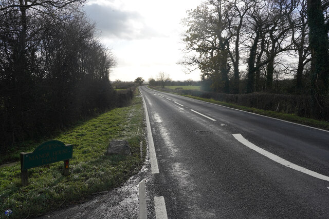
Gorse Covert is a woodland area located in Derbyshire, England. It is situated near the small village of Gorse Covert, which is part of the wider district of Chesterfield. The woodland covers approximately 100 acres of land and is known for its dense forest and scenic beauty.
Gorse Covert is predominantly composed of deciduous trees such as oak, beech, and birch, which provide a rich canopy of shade during the summer months. The forest floor is covered in a carpet of ferns and wildflowers, creating a vibrant and diverse ecosystem. The woodland is also home to a variety of wildlife, including deer, foxes, badgers, and a wide array of bird species.
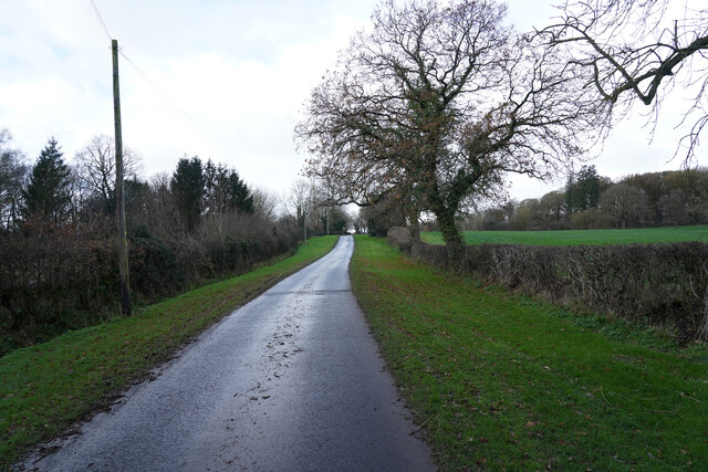
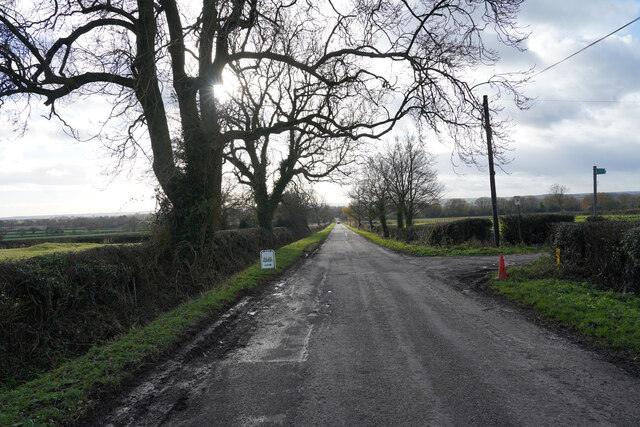
The woodland is a popular destination for nature lovers and outdoor enthusiasts. It offers numerous walking trails and paths, allowing visitors to explore the area and enjoy the tranquility of the forest. There are also picnic areas and benches scattered throughout the woodland, providing opportunities for visitors to relax and take in the natural surroundings.
Gorse Covert is managed and maintained by the local council, who have implemented measures to preserve the natural habitat and ensure the sustainability of the woodland. This includes regular tree maintenance and removal of invasive species to protect the native flora and fauna.
Overall, Gorse Covert is a beautiful and peaceful woodland area in Derbyshire, offering visitors a chance to connect with nature and enjoy the serenity of the forest.
If you have any feedback on the listing, please let us know in the comments section below.
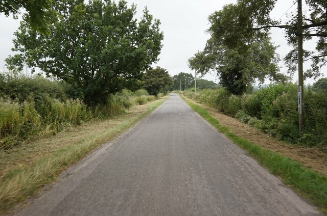
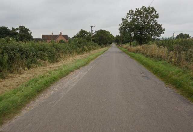
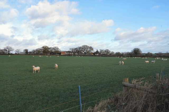
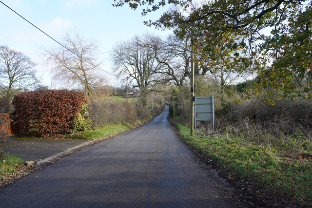
Gorse Covert Images
Images are sourced within 2km of 52.947492/-1.7677344 or Grid Reference SK1538. Thanks to Geograph Open Source API. All images are credited.


Gorse Covert is located at Grid Ref: SK1538 (Lat: 52.947492, Lng: -1.7677344)
Administrative County: Derbyshire
District: Derbyshire Dales
Police Authority: Derbyshire
What 3 Words
///outhouse.exhale.topic. Near Mayfield, Staffordshire
Nearby Locations
Related Wikis

Cubley, Derbyshire
Cubley is a parish of two closely linked villages six miles (10 km) south of Ashbourne in Derbyshire. Great Cubley and Little Cubley are known collectively...
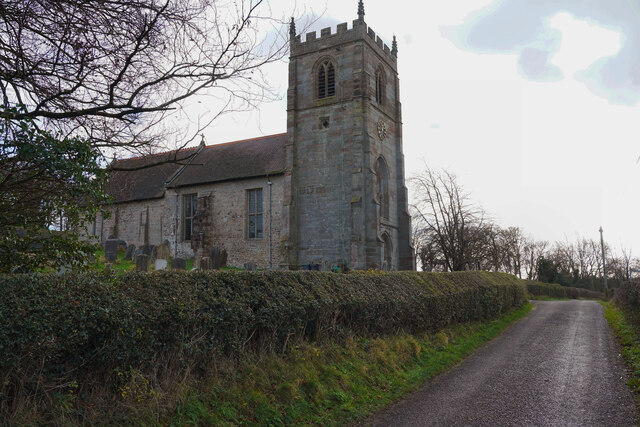
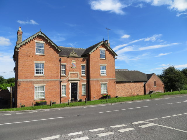
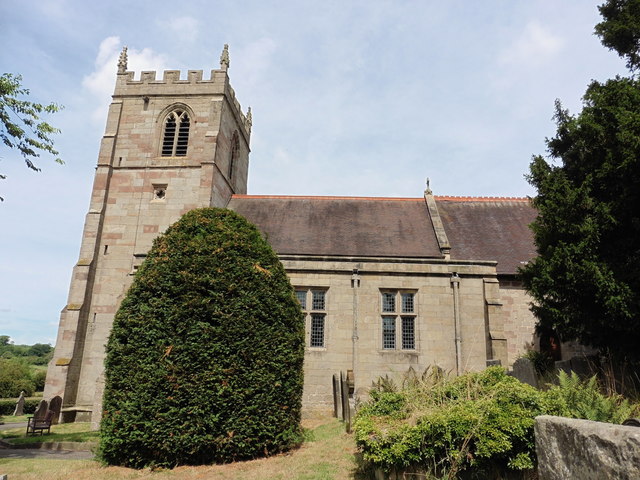
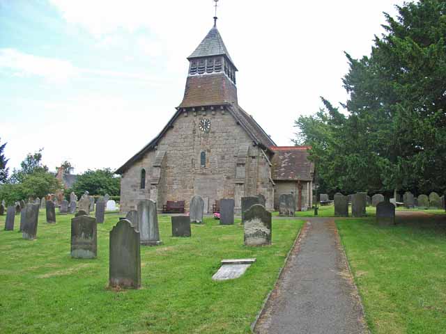
St Andrew's Church, Cubley
St Andrew's Church, Cubley is a Grade I listed parish church in the Church of England in Cubley, Derbyshire. == History == The church dates from the mid...

Stydd Hall
Stydd Hall (Castle) is a country house located near to the village of Yeaveley, Derbyshire, 15 miles (24 km) west of Derby, close to the A515 between Wyaston...

Yeaveley Preceptory
Yeaveley Preceptory, also known as Stydd Preceptory, was a preceptory of the Knights Hospitaller, near the village of Yeaveley, in Derbyshire, England...

Hungry Bentley
Hungry Bentley is a deserted medieval village and civil parish in the Derbyshire Dales district of Derbyshire, England, between Uttoxeter and Derby. The...
Marston Montgomery
Marston Montgomery is a small village and civil parish in western Derbyshire. The population of the civil parish as of the 2011 census was at least 3....
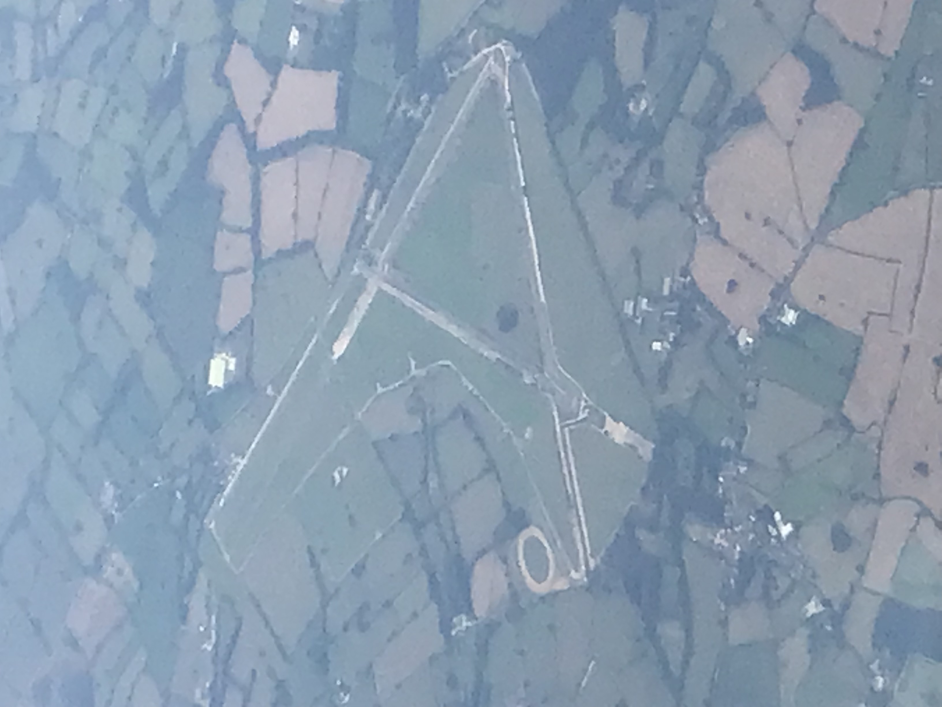
Darley Moor Airfield
Darley Moor Airfield and Road Race Circuit is situated on a high plateau adjacent to the A515, two miles south of Ashbourne, Derbyshire, England. The airfield...
Sudbury Rural District
Sudbury was a rural district of Derbyshire in England from 1894 to 1934. It was created from the part of the Uttoxeter rural sanitary district that was...
Nearby Amenities
Located within 500m of 52.947492,-1.7677344Have you been to Gorse Covert?
Leave your review of Gorse Covert below (or comments, questions and feedback).