Car Plantation

Wood, Forest in Yorkshire Richmondshire

England

Car Plantation

Old Lead Smelting Mill By Smelt Mill Beck. Lead has been quarried and smelted in these parts since the Roman times although this lead mill is probably medieval. Once smelted ore would have been used locally and excess carried by pannier on the sides of horses or jaggers to ports on the Tees at Yarm and Worsall for transport to London.
Old Lead Smelting Mill Credit: Mick Garratt

Car Plantation is a picturesque woodland located in Yorkshire, England. Situated in the heart of the region, this enchanting forest is known for its dense growth of trees and serene atmosphere. With an area spanning over several acres, Car Plantation offers a tranquil retreat for nature enthusiasts and outdoor lovers alike.

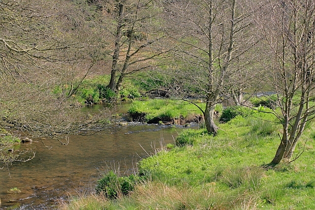
The plantation is predominantly made up of various species of trees, including oak, beech, and birch, which thrive in the fertile soil of Yorkshire. These majestic trees create a dense canopy overhead, providing shade and shelter to the diverse wildlife inhabiting the area. The forest floor is covered with a thick carpet of moss, ferns, and wildflowers, creating a vibrant and colorful undergrowth.

Car Plantation is home to a wide array of wildlife, making it a popular destination for birdwatchers and animal lovers. Visitors can expect to spot a variety of bird species, such as woodpeckers, owls, and finches, as well as small mammals like squirrels and rabbits. The forest also hosts a range of insects and butterflies, adding to its ecological diversity.

For those seeking outdoor activities, Car Plantation offers several well-maintained walking trails, allowing visitors to explore the forest at their own pace. These trails wind through the woodland, offering stunning views of the trees and the occasional glimpse of wildlife. The plantation is also equipped with picnic areas, making it an ideal spot for families and groups to enjoy a day out in nature.

Car Plantation, with its lush greenery, abundant wildlife, and peaceful ambiance, is a true gem in the Yorkshire countryside, providing a perfect escape from the hustle and bustle of everyday life.

If you have any feedback on the listing, please let us know in the comments section below.

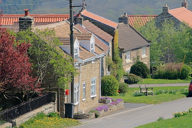
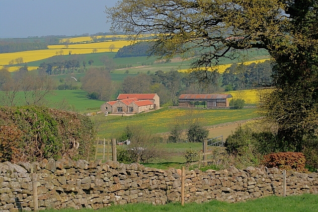
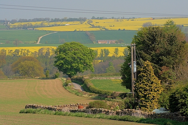
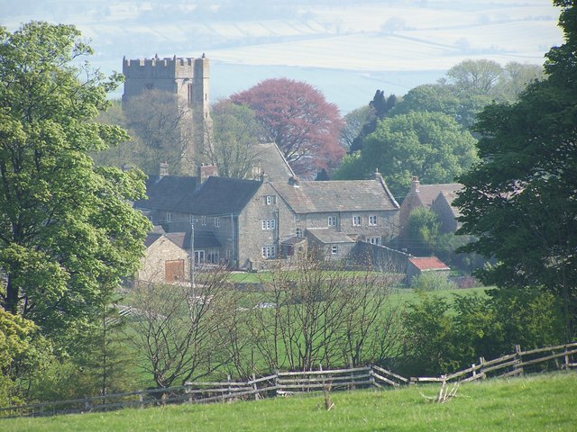
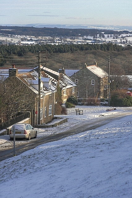
Car Plantation Images

Images are sourced within 2km of 54.459458/-1.7597136 or Grid Reference NZ1507. Thanks to Geograph Open Source API. All images are credited.

Old Lead Smelting Mill By Smelt Mill Beck. Lead has been quarried and smelted in these parts since the Roman times although this lead mill is probably medieval. Once smelted ore would have been used locally and excess carried by pannier on the sides of horses or jaggers to ports on the Tees at Yarm and Worsall for transport to London.
Old Lead Smelting Mill
By Smelt Mill Beck. Lead has been quarried and smelted in these parts since the Roman times although this lead mill is probably medieval. Once smelted ore would have been used locally and excess carried by pannier on the sides of horses or jaggers to ports on the Tees at Yarm and Worsall for transport to London.
Ford, Smelt Mill Beck The name dervices from the old lead smelting mill nearby. Lead has been quarried and smelted in these parts since the Roman times although this lead mill is probably medieval. Once smelted ore would have been used locally and excess carried by pannier on the sides of horses or jaggers to ports on the Tees at Yarm and Worsall for transport to London.
Ford, Smelt Mill Beck
The name dervices from the old lead smelting mill nearby. Lead has been quarried and smelted in these parts since the Roman times although this lead mill is probably medieval. Once smelted ore would have been used locally and excess carried by pannier on the sides of horses or jaggers to ports on the Tees at Yarm and Worsall for transport to London.
Whashton A similar view to my other photo <a href="https://www.geograph.org.uk/photo/1626128">NZ1506 : Whashton</a> but on a beautiful spring morning.
Whashton
A similar view to my other photo NZ1506 : Whashton but on a beautiful spring morning.
Converted Farm and Buildings, near Washton Bridge
Hartforth Beck
Hartforth Beck
Shed, near Hartforth Beck
Lane down Noble Brow
Jagger Lane An ancient pannierway linking the lead smelting mills with Melsonby and beyond. The name derives from the local name of the sturdy German horses used to carry the smelted ore to the Tees ports of Yarm and Worsall for shipment to London.

Lead has been quarried and smelted in these parts since the Roman times.
Jagger Lane
An ancient pannierway linking the lead smelting mills with Melsonby and beyond. The name derives from the local name of the sturdy German horses used to carry the smelted ore to the Tees ports of Yarm and Worsall for shipment to London. Lead has been quarried and smelted in these parts since the Roman times.
Fish Pond near Lambert Wood
Tree in a Field Seen from Leadmill Lane.
Tree in a Field
Seen from Leadmill Lane.
Lane to Hartforth Saw Mill Now a bed and breakfast establishment.
Lane to Hartforth Saw Mill
Now a bed and breakfast establishment.
Tree in a Field Near Hartforth Wood.
Tree in a Field
Near Hartforth Wood.
View of Hartforth Hall From across the meadows of Hatforth Beck.
View of Hartforth Hall
From across the meadows of Hatforth Beck.
Hartforth Hall Now a hotel.
Hartforth Hall
Now a hotel.
Jagger Lane An ancient pannierway linking the lead smelting mills with Melsonby and beyond. The name derives from the local name of the sturdy German horses used to carry the smelted ore to the Tees ports of Yarm and Worsall for shipment to London.

Lead has been quarried and smelted in these parts since the Roman times.
Jagger Lane
An ancient pannierway linking the lead smelting mills with Melsonby and beyond. The name derives from the local name of the sturdy German horses used to carry the smelted ore to the Tees ports of Yarm and Worsall for shipment to London. Lead has been quarried and smelted in these parts since the Roman times.
Bridge over Hartforth Beck Carrying the ancient track, Jagger Lane.
Bridge over Hartforth Beck
Carrying the ancient track, Jagger Lane.
Home Farm A new build architecturally designed to blend in with the adjacent listed Georgian farm buildings, apparently. The architects were Francis Johnson and Partners and the design won a prestigious architectural award in 2009. Local opinion is somewhat divided.

In the foreground a JCB is working on Hartforth Beck and producing much exhaust fumes.
Home Farm
A new build architecturally designed to blend in with the adjacent listed Georgian farm buildings, apparently. The architects were Francis Johnson and Partners and the design won a prestigious architectural award in 2009. Local opinion is somewhat divided. In the foreground a JCB is working on Hartforth Beck and producing much exhaust fumes.
Kirby Hill West Hall and West Cottage with the church beyond, as seen from a footpath above the village.
Kirby Hill
West Hall and West Cottage with the church beyond, as seen from a footpath above the village.
Show me another place!

Car Plantation is located at Grid Ref: NZ1507 (Lat: 54.459458, Lng: -1.7597136)

Division: North Riding

Administrative County: North Yorkshire

District: Richmondshire

Police Authority: North Yorkshire

What 3 Words

///truth.enveloped.accented. Near Hutton Magna, Co. Durham

Nearby Locations

Car Plantation

Related Wikis

Whashton

Whashton is a village and civil parish in the Richmondshire district of North Yorkshire, England. == History == The name is of an uncertain origin and...

Ravensworth Castle (North Yorkshire)

Ravensworth Castle is a ruined 14th-century castle in the village of Ravensworth, North Yorkshire, England. It has been designated a Grade I listed building...

Kirby Hill, Richmondshire

Kirby Hill, historically also known as Kirby-on-the-Hill, is a village and civil parish in the Richmondshire district of North Yorkshire, England. The...

Ravensworth

Ravensworth is a village and civil parish in the Holmedale valley, within the Richmondshire district of North Yorkshire, England. It is approximately...

Nearby Amenities

Located within 500m of 54.459458,-1.7597136
Gravel Hill
Place: locality
Lat/Long: 54.4559049/-1.7559885
The data included in this document is from www.openstreetmap.org. The data is made available under ODbL.

Have you been to Car Plantation?

Leave your review of Car Plantation below (or comments, questions and feedback).