Black Plantation

Wood, Forest in Yorkshire Richmondshire

England

Black Plantation

Old Lead Smelting Mill By Smelt Mill Beck. Lead has been quarried and smelted in these parts since the Roman times although this lead mill is probably medieval. Once smelted ore would have been used locally and excess carried by pannier on the sides of horses or jaggers to ports on the Tees at Yarm and Worsall for transport to London.
Old Lead Smelting Mill Credit: Mick Garratt

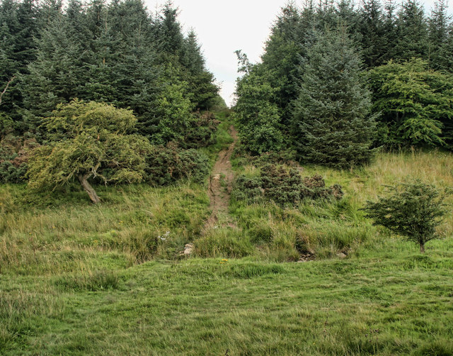
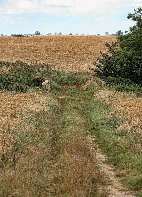
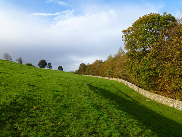
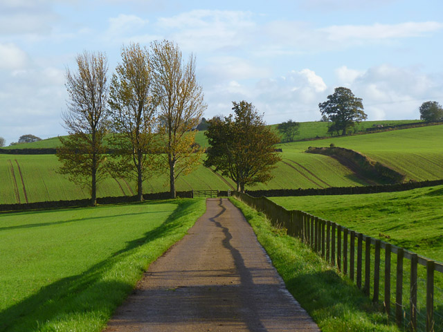
Black Plantation is a woodland area located in Yorkshire, England. Situated in the northern part of the county, it is nestled within the larger expanse of the Yorkshire Forest. The plantation covers an area of approximately 100 acres and is known for its dense and diverse vegetation.

The woodland is primarily composed of deciduous trees, including oak, beech, and birch, which create a rich and vibrant canopy overhead. The forest floor is blanketed with a variety of flora, such as bluebells, primroses, and ferns, adding to the area's natural beauty.

Black Plantation is a haven for wildlife, housing a wide range of species. Birds, including woodpeckers, owls, and various songbirds, can be spotted among the trees, while small mammals like squirrels and hedgehogs scurry through the undergrowth. The plantation is also home to a number of deer, which can frequently be seen grazing in the open meadows on the outskirts of the woodland.

The woodland offers numerous walking trails and footpaths, providing visitors with the opportunity to explore its serene surroundings. These paths wind their way through the trees, offering stunning views and a chance to immerse oneself in nature.

Black Plantation, with its lush vegetation, diverse wildlife, and tranquil ambience, is a popular destination for nature enthusiasts and those seeking a peaceful retreat. Whether it is a leisurely stroll, birdwatching, or simply enjoying the beauty of the forest, this woodland gem in Yorkshire offers something for everyone.

If you have any feedback on the listing, please let us know in the comments section below.

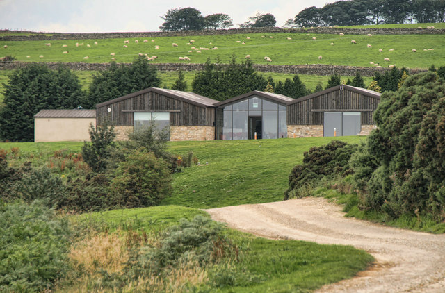
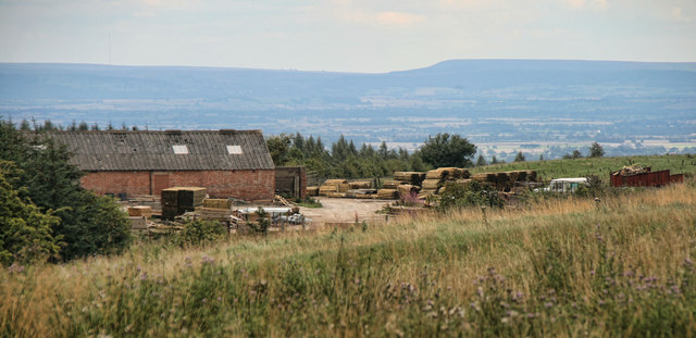
Black Plantation Images

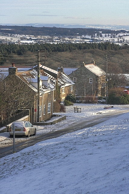
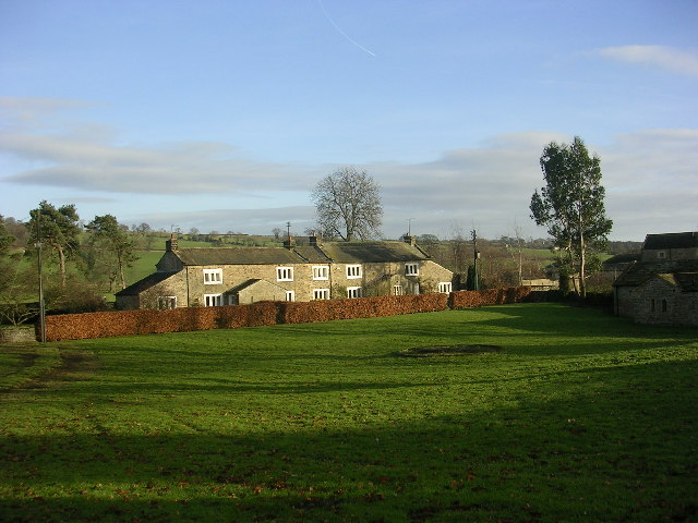
Images are sourced within 2km of 54.431394/-1.7612033 or Grid Reference NZ1504. Thanks to Geograph Open Source API. All images are credited.

Old Lead Smelting Mill By Smelt Mill Beck. Lead has been quarried and smelted in these parts since the Roman times although this lead mill is probably medieval. Once smelted ore would have been used locally and excess carried by pannier on the sides of horses or jaggers to ports on the Tees at Yarm and Worsall for transport to London.
Old Lead Smelting Mill
By Smelt Mill Beck. Lead has been quarried and smelted in these parts since the Roman times although this lead mill is probably medieval. Once smelted ore would have been used locally and excess carried by pannier on the sides of horses or jaggers to ports on the Tees at Yarm and Worsall for transport to London.
Ford, Smelt Mill Beck The name dervices from the old lead smelting mill nearby. Lead has been quarried and smelted in these parts since the Roman times although this lead mill is probably medieval. Once smelted ore would have been used locally and excess carried by pannier on the sides of horses or jaggers to ports on the Tees at Yarm and Worsall for transport to London.
Ford, Smelt Mill Beck
The name dervices from the old lead smelting mill nearby. Lead has been quarried and smelted in these parts since the Roman times although this lead mill is probably medieval. Once smelted ore would have been used locally and excess carried by pannier on the sides of horses or jaggers to ports on the Tees at Yarm and Worsall for transport to London.
Tree in a Field Seen from Leadmill Lane.
Tree in a Field
Seen from Leadmill Lane.
Richmond Racecourse The derelict grandstand at Richmond Racecourse.
Richmond Racecourse
The derelict grandstand at Richmond Racecourse.
Natural Retreats Buildings on the Natural Retreats holiday camp near Richmond.
Natural Retreats
Buildings on the Natural Retreats holiday camp near Richmond.
Richmond Out Moor Track crossing Aske beck in the plantation on Richmond Out Moor.
Richmond Out Moor
Track crossing Aske beck in the plantation on Richmond Out Moor.
Black Plantation Bridleway alongside Black Plantation on Aske Moor.
Black Plantation
Bridleway alongside Black Plantation on Aske Moor.
Aske Moor Farm Aske Moor Farm seen from Black Plantation on Aske Moor.
Aske Moor Farm
Aske Moor Farm seen from Black Plantation on Aske Moor.
Aske Moor
Aske Moor
High Scales Farm Mowing thistles on High Scales Farm.
High Scales Farm
Mowing thistles on High Scales Farm.
Whashton Hag Fields at Whashton Hag Farm.
Whashton Hag
Fields at Whashton Hag Farm.
Farmland and woodland, Whashton The bridleway heading towards Hartforth Wood with pastoral and arable farmland.
Farmland and woodland, Whashton
The bridleway heading towards Hartforth Wood with pastoral and arable farmland.
Pasture and woodland, Gilling The public bridleway follows the edge of The Ashes to the west of Gillingwood Hall.
Pasture and woodland, Gilling
The public bridleway follows the edge of The Ashes to the west of Gillingwood Hall.
Farmland and track, Hartforth The public bridleway heading towards Crabtree House Farm from Hartforth Wood and Whashton.
Farmland and track, Hartforth
The public bridleway heading towards Crabtree House Farm from Hartforth Wood and Whashton.
Farm road and farmland, Gilling The public bridleway heading away from Gillingwood Hall.
Farm road and farmland, Gilling
The public bridleway heading away from Gillingwood Hall.
Lumps, Bumps and Foxgloves It might not look like much now but this is the site of Whashton Copper Mill. POST MEDIEVAL SMELT MILL 1600 to 1799 it is a scheduled site.
Lumps, Bumps and Foxgloves
It might not look like much now but this is the site of Whashton Copper Mill. POST MEDIEVAL SMELT MILL 1600 to 1799 it is a scheduled site.
Slag Heap North of Hartforth Lead Smelt Mill.
Slag Heap
North of Hartforth Lead Smelt Mill.
Not much left Recorded as ruinous at time of original survey 1854. The Hartforth Lead Smelt Mill was built around 1669, and took lead from the Feldom & Marske mines before the double mills of Marrick were built in the mid 18thC.
Not much left
Recorded as ruinous at time of original survey 1854. The Hartforth Lead Smelt Mill was built around 1669, and took lead from the Feldom & Marske mines before the double mills of Marrick were built in the mid 18thC.
Show me another place!

Black Plantation is located at Grid Ref: NZ1504 (Lat: 54.431394, Lng: -1.7612033)

Division: North Riding

Administrative County: North Yorkshire

District: Richmondshire

Police Authority: North Yorkshire

What 3 Words

///cooked.remake.prank. Near Richmond, North Yorkshire

Related Wikis

Richmond Racecourse

Richmond Racecourse was a British horse racing track situated at Richmond, North Yorkshire at first High Moor, then Low Moor, from 1765 to 1776. It was...

Aske, North Yorkshire

Aske is a civil parish in the Richmondshire district of North Yorkshire, England, about two miles north of Richmond. According to the 2001 census it had...

Whashton

Whashton is a village and civil parish in the Richmondshire district of North Yorkshire, England. == History == The name is of an uncertain origin and...

Aske Hall

Aske Hall is a Georgian country house, with parkland attributed to Capability Brown, 1.5 miles (2.4 km) north of Richmond, North Yorkshire, England. It...

Gilling West

Gilling West is a village about 3.5 miles (5.6 km) north of Richmond in the Richmondshire district of North Yorkshire, England. It is located in the civil...

Richmond Barracks, North Yorkshire

Richmond Barracks was a military installation in Richmond, North Yorkshire. == History == The barracks were built as the depot of the two battalions of...

Kirby Hill, Richmondshire

Kirby Hill, historically also known as Kirby-on-the-Hill, is a village and civil parish in the Richmondshire district of North Yorkshire, England. The...

Hartforth

Hartforth is a small village in the Richmondshire district of North Yorkshire, England. The village is situated approximately 9 miles (14 km) south-west...

Nearby Amenities

Located within 500m of 54.431394,-1.7612033
The data included in this document is from www.openstreetmap.org. The data is made available under ODbL.

Have you been to Black Plantation?

Leave your review of Black Plantation below (or comments, questions and feedback).