Front Wood
Wood, Forest in Northumberland
England
Front Wood

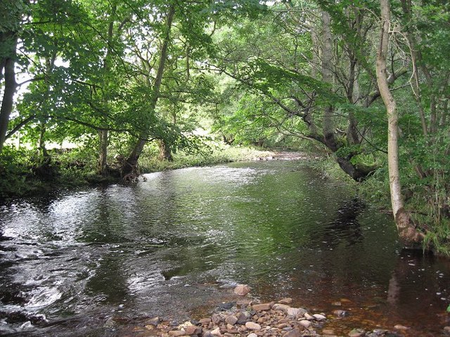
Front Wood is a picturesque woodland located in the county of Northumberland, England. Situated in the heart of the Northumberland National Park, this enchanting forest covers an area of approximately 500 acres, providing a haven for nature enthusiasts and outdoor adventurers alike.
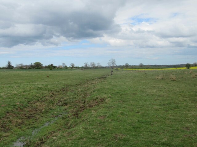
The woodland is predominantly composed of native tree species, including oak, birch, and beech, which create a diverse and vibrant ecosystem. The trees form a dense canopy, allowing only dappled sunlight to filter through, creating a serene and tranquil atmosphere. The forest floor is carpeted with a rich variety of wildflowers, ferns, and mosses, adding to the area's natural beauty.
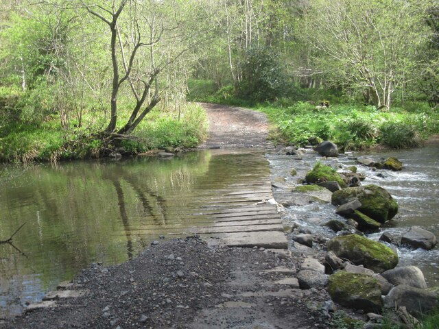
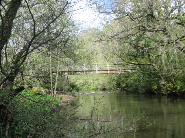
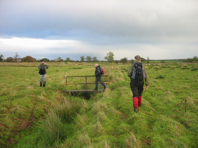
Front Wood boasts a network of well-maintained trails, making it an ideal destination for hiking, walking, and exploring. These paths wind through the forest, offering visitors the opportunity to discover hidden nooks and crannies, and providing captivating views of the surrounding countryside. Along the trails, visitors may encounter an array of wildlife, including deer, foxes, and a variety of bird species.
In addition to its natural allure, Front Wood also holds historical significance. The forest is home to ancient ruins and archaeological remains, dating back to the Iron Age. These remnants provide a glimpse into the area's rich past, allowing visitors to connect with the history of the land.
Front Wood is a true gem within Northumberland, offering a peaceful escape from the hustle and bustle of daily life. Its unique blend of natural beauty, diverse wildlife, and historical intrigue make it a must-visit destination for nature enthusiasts and history buffs alike.
If you have any feedback on the listing, please let us know in the comments section below.
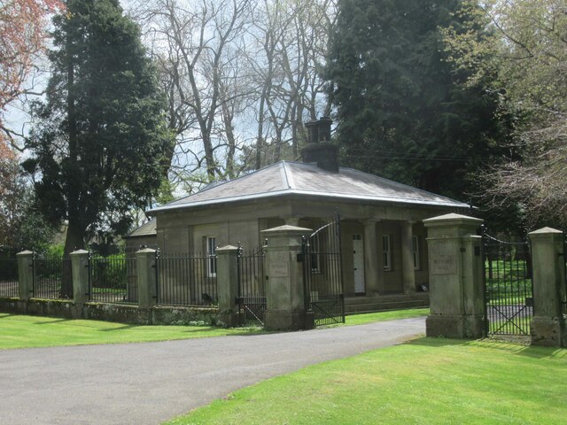
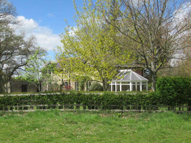
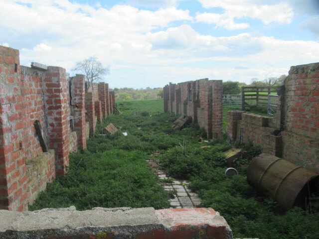
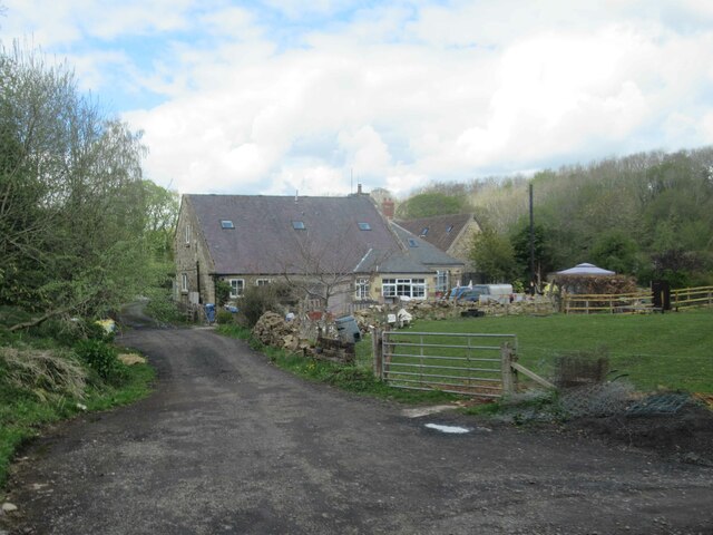
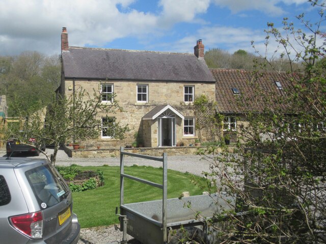
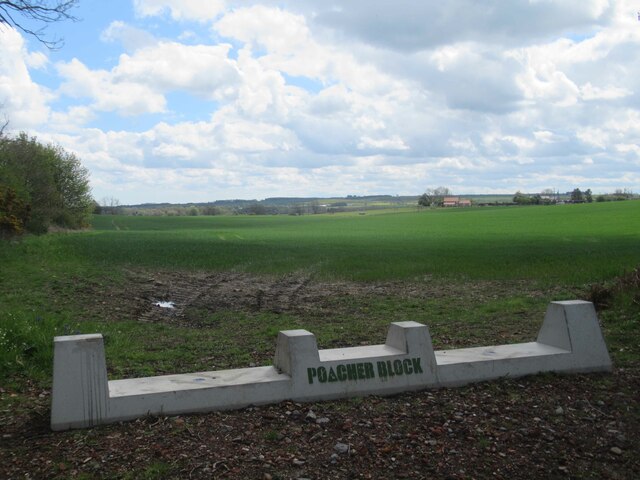
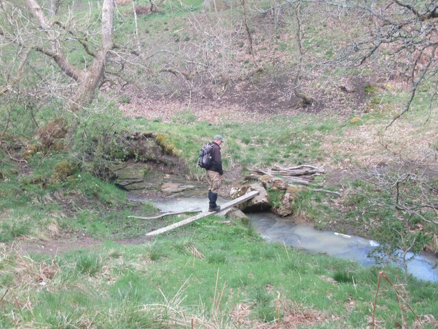
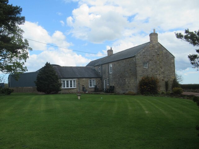
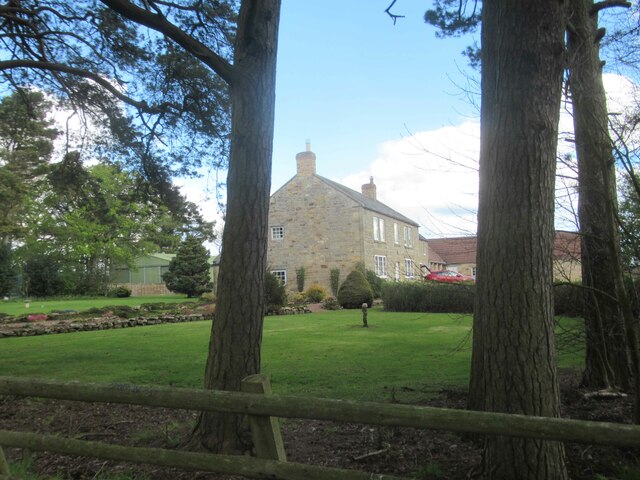
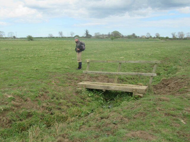
Front Wood Images
Images are sourced within 2km of 55.172159/-1.756942 or Grid Reference NZ1586. Thanks to Geograph Open Source API. All images are credited.


Front Wood is located at Grid Ref: NZ1586 (Lat: 55.172159, Lng: -1.756942)
Unitary Authority: Northumberland
Police Authority: Northumbria
What 3 Words
///cluttered.tastings.yelled. Near Morpeth, Northumberland
Nearby Locations
Related Wikis

Mitford Hall
Mitford Hall is a Georgian mansion house and Grade II* listed building standing in its own 85-acre (34 ha) park overlooking the River Wansbeck at Mitford...

Mitford Old Manor House
Mitford Old Manor House is an historic English manor house at Mitford, Northumberland, and is a Grade II* listed building. The Manor of Mitford was held...
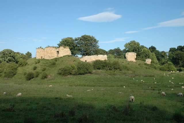
Mitford Castle
Mitford Castle is an English castle dating from the end of the 11th century and located at Mitford, Northumberland. It is a Scheduled Ancient Monument...
Pigdon
Pigdon is a hamlet and former civil parish 3 miles (4.8 km) from Morpeth, now in the parish of Meldon, in the county of Northumberland, England. In 1951...
River Font
The River Font is a river that flows through Northumberland, England. The river is a tributary of the River Wansbeck which it joins at Mitford. == References... ==

Mitford, Northumberland
Mitford is a village in Northumberland, England, located 2 miles (3 km) west of Morpeth. == History == Although the foundation of Mitford is unknown, it...

Newminster Abbey
Newminster Abbey was a Cistercian abbey in Northumberland in the north of England. The site is protected by Grade II listed building and Scheduled Ancient...
Morpeth Town A.F.C.
Morpeth Town Association Football Club is a football club based in Morpeth, Northumberland, England. They are currently members of the Northern Premier...
Nearby Amenities
Located within 500m of 55.172159,-1.756942Have you been to Front Wood?
Leave your review of Front Wood below (or comments, questions and feedback).