Big Covert
Wood, Forest in Northumberland
England
Big Covert
Big Covert is a woodland area located in Northumberland, England. Situated in the heart of the county, it covers a vast expanse of approximately 500 acres. The forest boasts a diverse range of trees, including oak, beech, and birch, creating a dense and picturesque landscape.
The woodland is known for its tranquil atmosphere, offering visitors a peaceful retreat from the hustle and bustle of everyday life. It provides a haven for various wildlife species, such as deer, foxes, and a variety of bird species, making it a popular destination for nature enthusiasts and wildlife photographers.
A network of well-maintained paths and trails crisscrosses the forest, allowing visitors to explore the area on foot or by bike. There are also designated picnic areas and camping spots for those who wish to spend more time immersing themselves in the natural surroundings.
Big Covert is not only a recreational destination but also serves an important ecological purpose. It acts as a carbon sink, absorbing and storing significant amounts of carbon dioxide, contributing to the fight against climate change.
Managed by Northumberland County Council, the woodland is regularly maintained to ensure its sustainability and preservation. As part of their conservation efforts, the council often organizes educational programs and guided walks for schools and community groups, promoting awareness and understanding of the forest ecosystem.
Overall, Big Covert in Northumberland is a cherished natural treasure, offering visitors a chance to reconnect with nature and experience the beauty and tranquility of a thriving woodland environment.
If you have any feedback on the listing, please let us know in the comments section below.
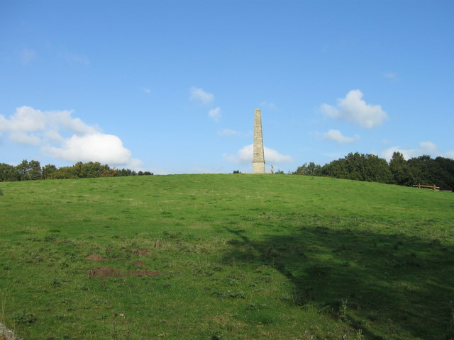
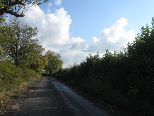
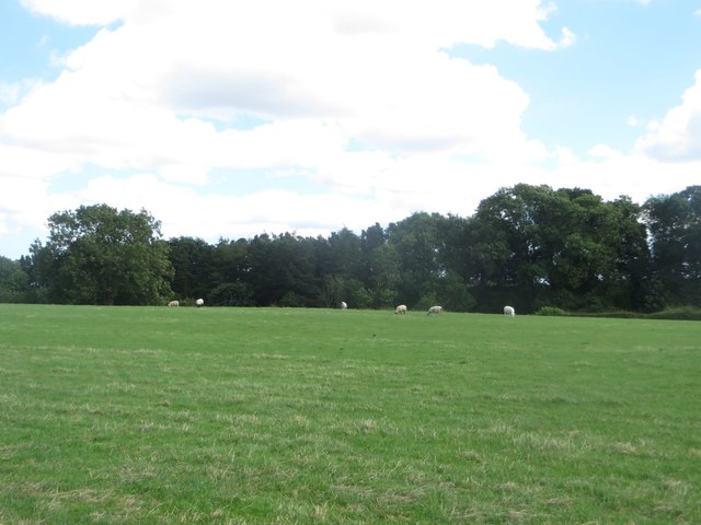
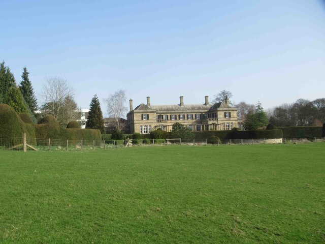
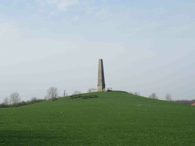
Big Covert Images
Images are sourced within 2km of 55.096372/-1.761695 or Grid Reference NZ1578. Thanks to Geograph Open Source API. All images are credited.


Big Covert is located at Grid Ref: NZ1578 (Lat: 55.096372, Lng: -1.761695)
Unitary Authority: Northumberland
Police Authority: Northumbria
What 3 Words
///thinkers.formless.gave. Near Meldon, Northumberland
Nearby Locations
Related Wikis

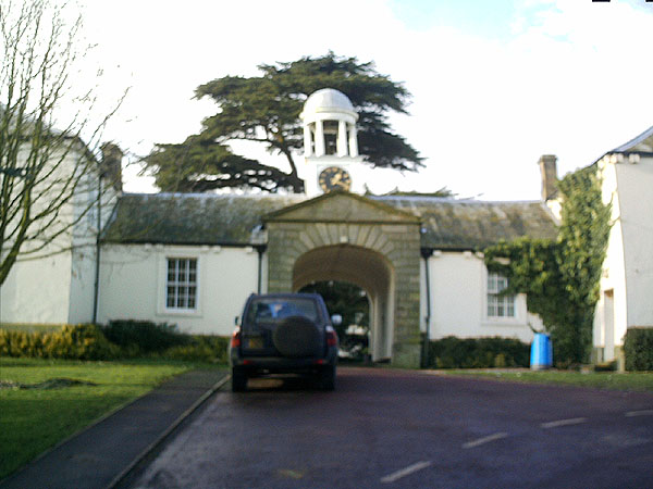
Kirkley Hall
Kirkley Hall is a 17th-century historic country mansion and Grade II listed building in Northumberland, England. The estate is over 190 acres (0.77 km2...

Ogle Castle
Ogle Castle (grid reference NZ14057908) is a former fortified manor house at Ogle, near Whalton, Northumberland. It is a Scheduled Ancient Monument and...
Ogle, Northumberland
Ogle is a village in and former civil parish, now in the parish of Whalton, Northumberland, England, north-west of Ponteland and south-west of Morpeth...

Berwick Hill
Berwick Hill is a village and former civil parish, now in the parish of Ponteland, in the county of Northumberland, England. It is situated to the north...
Have you been to Big Covert?
Leave your review of Big Covert below (or comments, questions and feedback).