Black Plantation
Wood, Forest in Yorkshire Richmondshire
England
Black Plantation
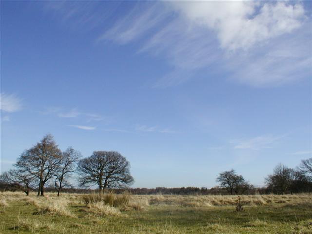
Black Plantation is a woodland area located in the county of Yorkshire, England. Situated in the region known as Wood, Forest, the plantation covers a total area of approximately [insert size]. The area is characterized by its dense vegetation and towering trees, creating a serene and picturesque landscape.
The woodland is home to a diverse range of plant and animal species, making it a popular destination for nature enthusiasts and wildlife photographers. The flora in Black Plantation includes a variety of deciduous and coniferous trees, such as oak, beech, and pine, which create a rich and vibrant canopy throughout the year. Underneath the towering trees, the forest floor is covered in a thick layer of moss, ferns, and wildflowers, adding to the area's natural beauty.
The plantation is also known for its abundance of wildlife. Visitors may spot a variety of bird species, including woodpeckers, owls, and thrushes, as well as small mammals like squirrels and rabbits. The woodland provides a habitat for several protected species, including the red squirrel and the lesser spotted woodpecker, making it an important conservation area.
Black Plantation offers a range of recreational activities for visitors. There are several walking trails that wind through the woodland, allowing visitors to explore the area at their own pace. Picnic areas are also available, providing a peaceful spot to relax and enjoy the surrounding nature.
Overall, Black Plantation in Yorkshire is a beautiful and biodiverse woodland area, offering a tranquil escape for nature lovers and a haven for a variety of plant and animal species.
If you have any feedback on the listing, please let us know in the comments section below.
Black Plantation Images
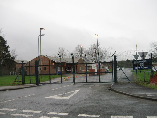
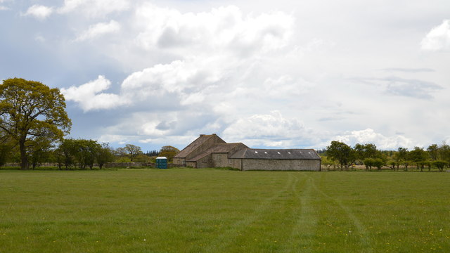
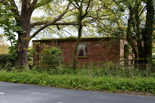
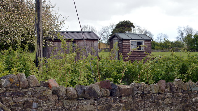
Images are sourced within 2km of 54.379149/-1.7685574 or Grid Reference SE1598. Thanks to Geograph Open Source API. All images are credited.


Black Plantation is located at Grid Ref: SE1598 (Lat: 54.379149, Lng: -1.7685574)
Division: North Riding
Administrative County: North Yorkshire
District: Richmondshire
Police Authority: North Yorkshire
What 3 Words
///pounding.lecturing.without. Near Catterick Garrison, North Yorkshire
Nearby Locations
Related Wikis
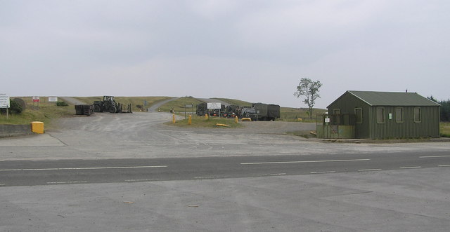
Hipswell Moor
Hipswell Moor is an area used for military training, near Catterick Garrison in North Yorkshire, England. It includes parts of the civil parishes of Barden...

Hudswell, North Yorkshire
Hudswell is a village and civil parish on the border of the Yorkshire Dales, in North Yorkshire, England. The population at the ONS Census 2011 was 353...

Army Ground, Catterick
The Army Ground was a cricket ground in Catterick Garrison, North Yorkshire. The Garrison was established in 1914 and construction of a cricket ground...

Catterick Garrison
Catterick Garrison is a major garrison and military town 3 miles (5 km) south of Richmond, North Yorkshire, England. It is the largest British Army garrison...
Garrison FM
Garrison FM was a network of radio stations in the United Kingdom serving British Army bases around the country between 2001 and 2013. The stations broadcast...

St Martin's, North Yorkshire
St Martin's is a civil parish in North Yorkshire, England. It is located south of the town of Richmond, covering the residential areas south of the River...
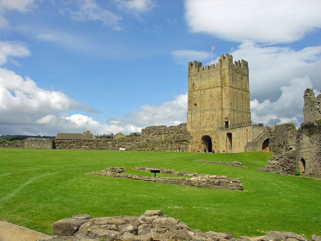
Richmond Castle
Richmond Castle in Richmond, North Yorkshire, England, stands in a commanding position above the River Swale, close to the centre of the town of Richmond...

Hipswell
Hipswell is a village and civil parish in the Richmondshire district of North Yorkshire, England. The civil parish mainly comprises the northern part of...
Nearby Amenities
Located within 500m of 54.379149,-1.7685574Have you been to Black Plantation?
Leave your review of Black Plantation below (or comments, questions and feedback).