Cress Ground Plantation
Wood, Forest in Gloucestershire Cotswold
England
Cress Ground Plantation
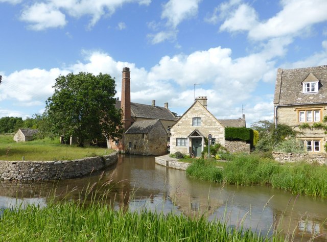
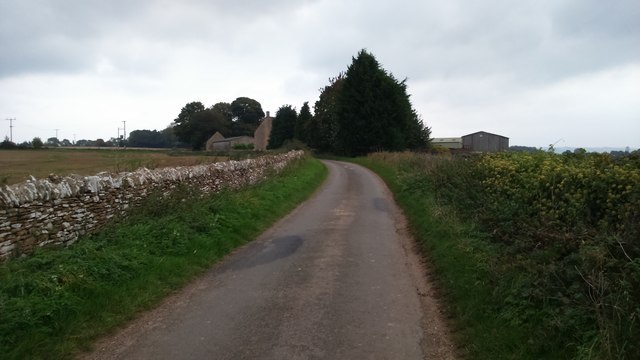
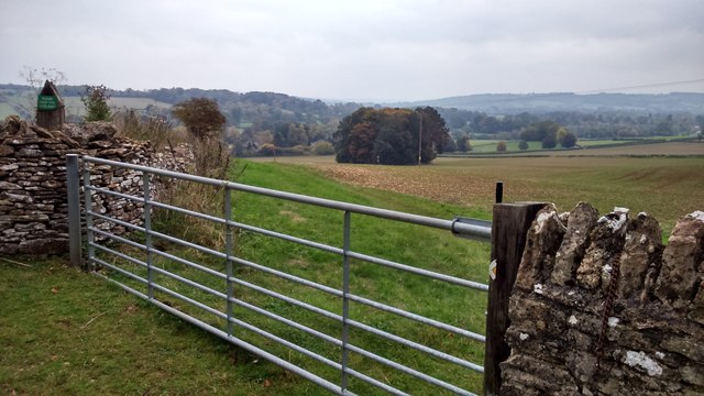
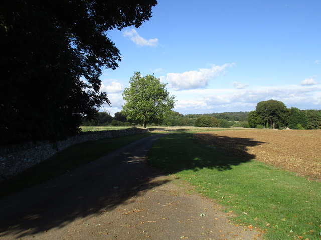
Cress Ground Plantation is a sprawling wood located in the county of Gloucestershire, England. Situated in the picturesque Forest of Dean, this plantation covers an extensive area and is renowned for its diverse range of flora and fauna.
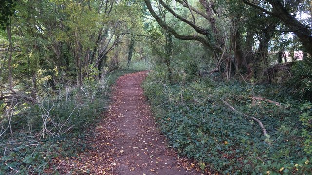
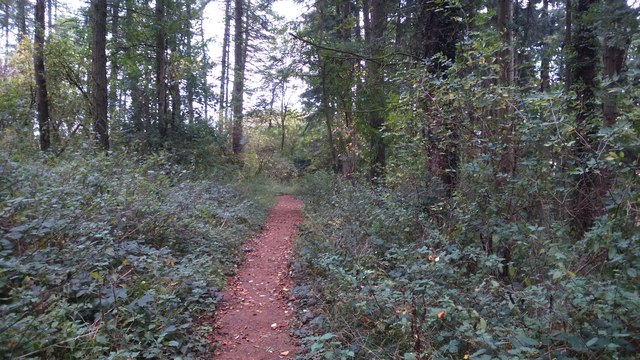
The woodland is predominantly composed of deciduous trees, such as oak, beech, and birch, which create a stunning canopy during the summer months. These trees also provide a vital habitat for numerous species of birds, including woodpeckers and owls, which can often be heard echoing through the forest.
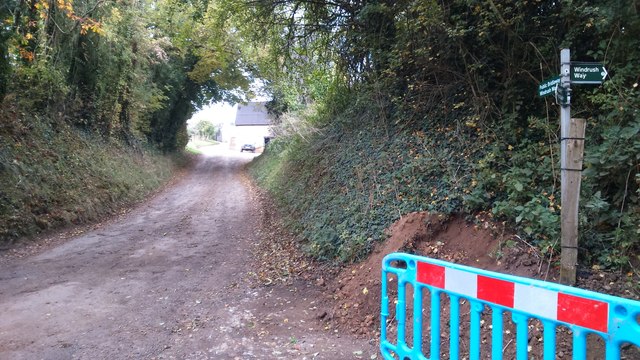
Cress Ground Plantation is crisscrossed by a network of well-maintained walking trails, allowing visitors to explore the wood and enjoy its natural beauty. The paths wind through towering trees, past vibrant wildflowers, and alongside babbling brooks, creating a serene and peaceful atmosphere.
The plantation is also home to a variety of wildlife, including deer, foxes, and badgers, which can be spotted if one is lucky and observant. In addition, the forest floor is carpeted with ferns, mosses, and mushrooms, further enhancing the enchanting ambiance of the woodland.
The management of Cress Ground Plantation is committed to preserving its natural beauty and ecological value. Conservation efforts are undertaken to protect the diverse range of plants and animals that call this wood their home.
Overall, Cress Ground Plantation is a haven of tranquility and a perfect destination for nature enthusiasts and those seeking a peaceful retreat in the heart of Gloucestershire's natural landscape.
If you have any feedback on the listing, please let us know in the comments section below.
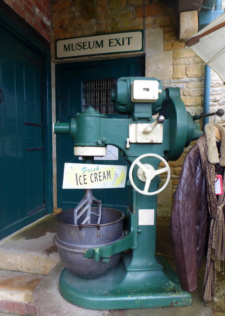
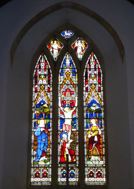
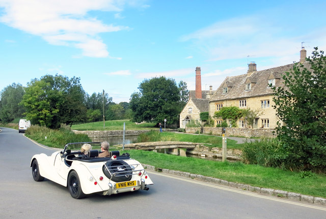
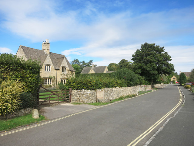
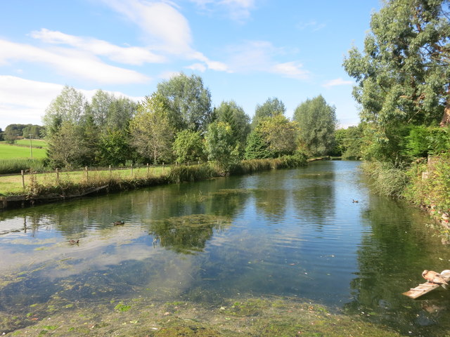
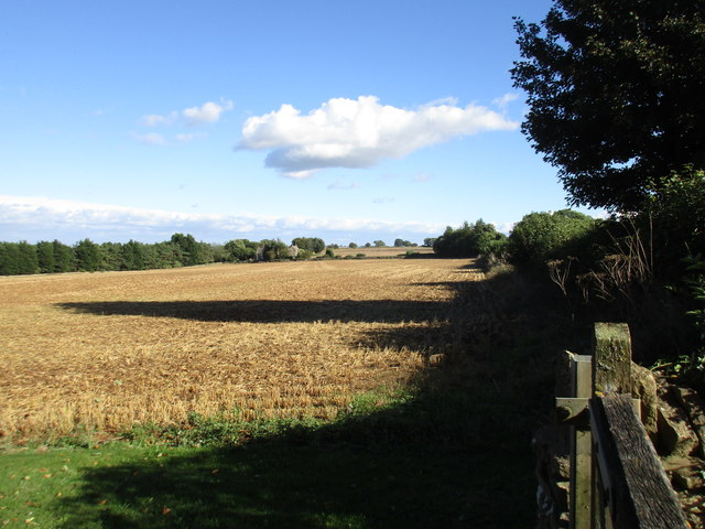
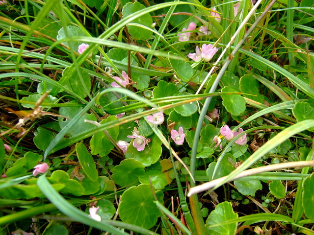
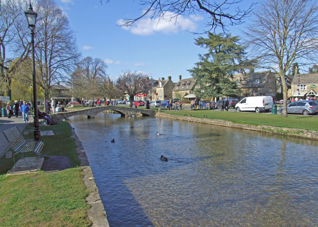
Cress Ground Plantation Images
Images are sourced within 2km of 51.903395/-1.7817128 or Grid Reference SP1522. Thanks to Geograph Open Source API. All images are credited.


Cress Ground Plantation is located at Grid Ref: SP1522 (Lat: 51.903395, Lng: -1.7817128)
Administrative County: Gloucestershire
District: Cotswold
Police Authority: Gloucestershire
What 3 Words
///pioneered.baseballs.ritual. Near Bourton on the Water, Gloucestershire
Nearby Locations
Related Wikis

Upper Slaughter
Upper Slaughter is a village in the Cotswold district of Gloucestershire, England, 4 miles (6.4 km) south west of Stow-on-the-Wold. The village lies off...

Lower Slaughter
Lower Slaughter is a village in the Cotswold district of Gloucestershire, England, 4 miles (6.4 km) south west of Stow-on-the-Wold. The village is built...
Brassey SSSI
Brassey (grid reference SP139223) is a 2.1-hectare (5.2-acre) biological Site of Special Scientific Interest in Gloucestershire, notified in 1954 and renotified...

Harford Railway Cutting
Harford Railway Cutting (SP135218 to SP141215) is a 1.2-hectare (3.0-acre) geological Site of Special Scientific Interest in Gloucestershire, notified...

Bourton-on-the-Water railway station
Bourton-on-the-Water railway station was a Gloucestershire railway station on the Great Western Railway's Banbury and Cheltenham Direct Railway which opened...

The Cotswold School
The Cotswold School is an 11 to 18 academy school located in Bourton-on-the-Water, Gloucestershire, Great Britain. The school achieved academy status in...
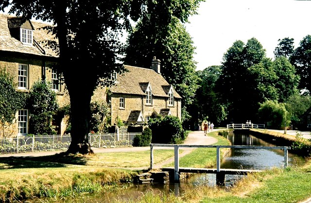
Bourton-on-the-Water
Bourton-on-the-Water is a village and civil parish in Gloucestershire, England, that lies on a wide flat vale within the Cotswolds Area of Outstanding...
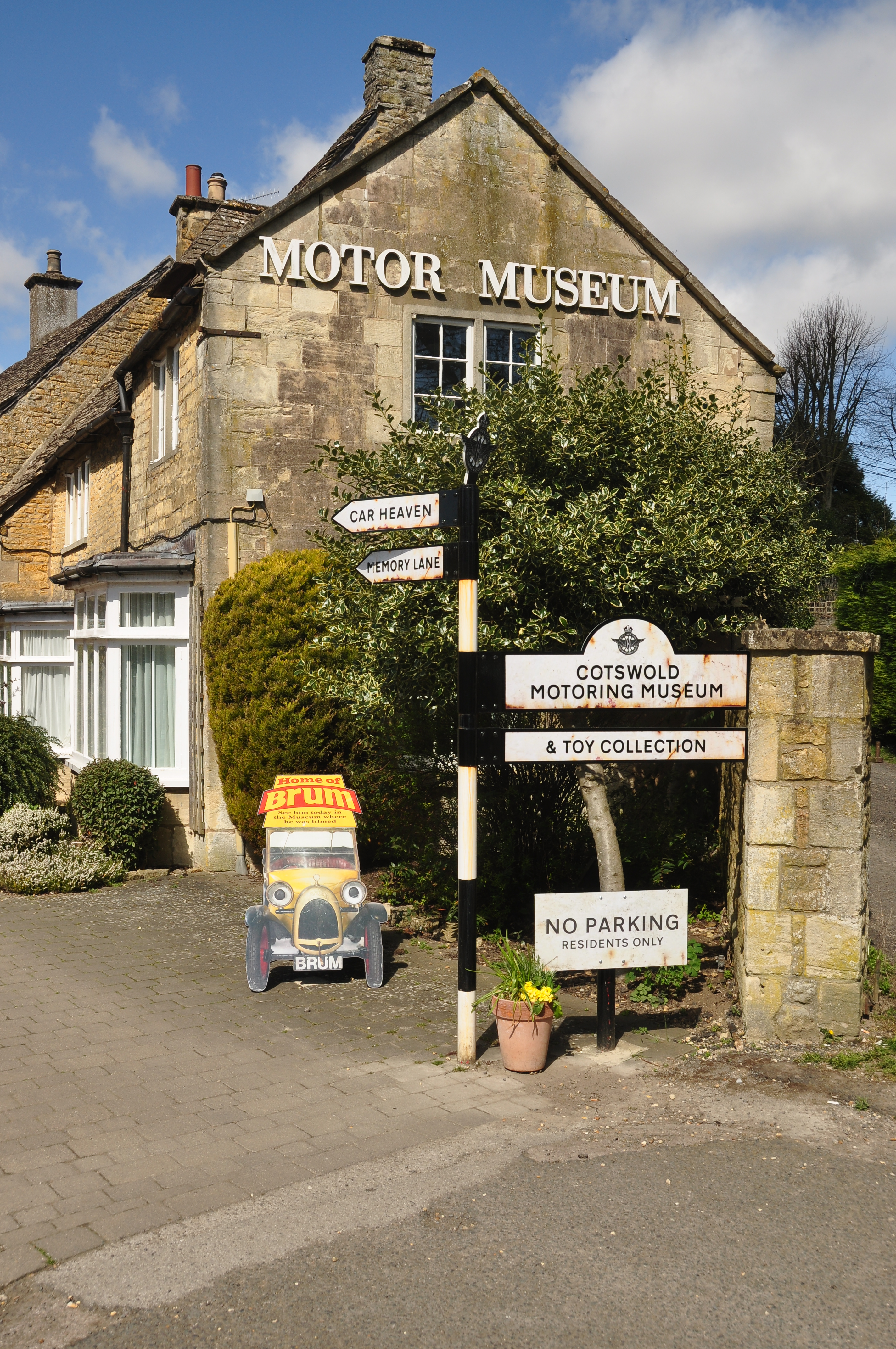
Cotswold Motoring Museum
The Cotswold Motoring Museum is a museum in the Cotswolds village of Bourton-on-the-Water, Gloucestershire, England. It features motoring history of the...
Nearby Amenities
Located within 500m of 51.903395,-1.7817128Have you been to Cress Ground Plantation?
Leave your review of Cress Ground Plantation below (or comments, questions and feedback).