Betty Plantation
Wood, Forest in Durham
England
Betty Plantation

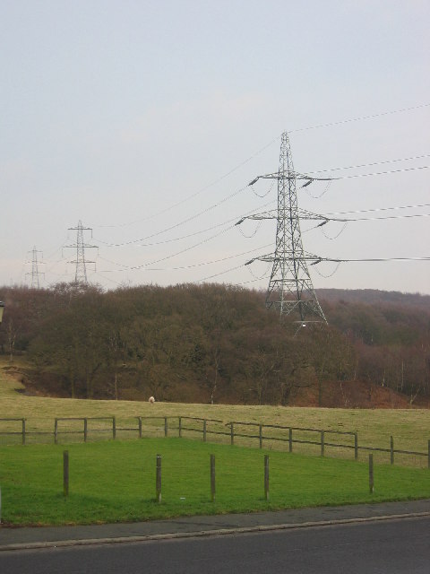
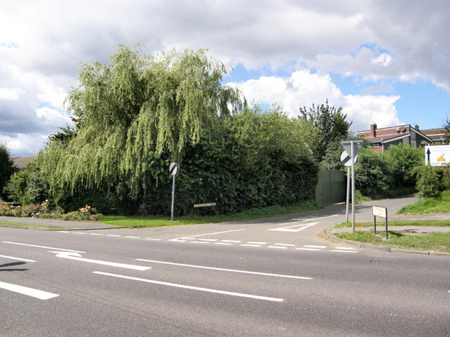
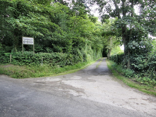
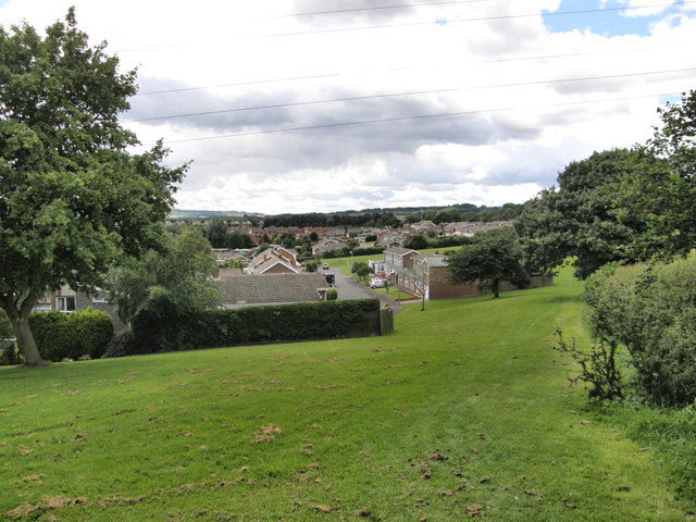
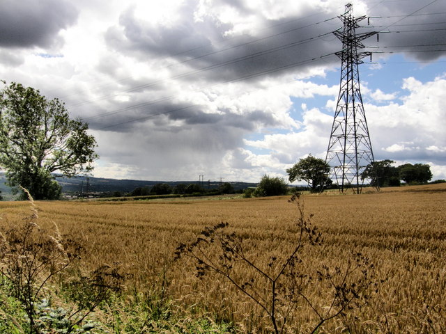
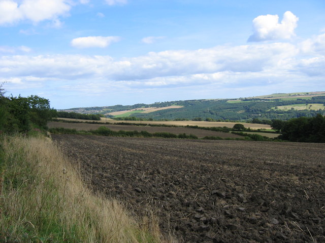
Betty Plantation is a charming woodland retreat located in Durham, England. Nestled in the heart of a serene forest, the plantation offers a tranquil escape from the bustling city life. Covering an expansive area of lush greenery, Betty Plantation is a haven for nature enthusiasts and those seeking a peaceful getaway.
The woodland is predominantly composed of a variety of trees, including oak, ash, and birch. These trees create a dense canopy that provides shade and shelter to an array of wildlife. The plantation is home to numerous species of birds, such as woodpeckers and owls, making it an ideal spot for birdwatchers.
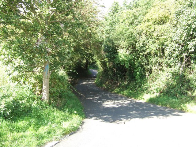
Visitors to Betty Plantation can explore its well-maintained walking trails that meander through the forest. The trails are marked and offer varying levels of difficulty, catering to both leisurely strolls and more challenging hikes. Along the way, hikers can enjoy breathtaking views of the surrounding woodlands and may even spot occasional glimpses of deer or rabbits.
For those seeking a more immersive experience, Betty Plantation offers a camping area where visitors can pitch their tents and spend the night under the starry sky. Campers can enjoy the tranquility of the forest, indulge in campfire cooking, and fall asleep to the soothing sounds of nature.
Overall, Betty Plantation is a captivating destination that offers a peaceful retreat for nature lovers and outdoor enthusiasts. With its stunning woodland scenery, diverse wildlife, and well-maintained trails, this Durham gem is sure to leave visitors rejuvenated and connected to the beauty of the natural world.
If you have any feedback on the listing, please let us know in the comments section below.
Betty Plantation Images
Images are sourced within 2km of 54.926787/-1.7672537 or Grid Reference NZ1559. Thanks to Geograph Open Source API. All images are credited.


Betty Plantation is located at Grid Ref: NZ1559 (Lat: 54.926787, Lng: -1.7672537)
Unitary Authority: Gateshead
Police Authority: Northumbria
What 3 Words
///aimlessly.generated.fields. Near Rowlands Gill, Tyne & Wear
Nearby Locations
Related Wikis

Hookergate School
Hookergate School was a secondary school and sixth form located in High Spen in the Metropolitan Borough of Gateshead, England. Originally founded as Hookergate...
High Spen
High Spen is an old mining village in the Metropolitan Borough of Gateshead, historically part of County Durham. There is an entrance to Chopwell Wood...
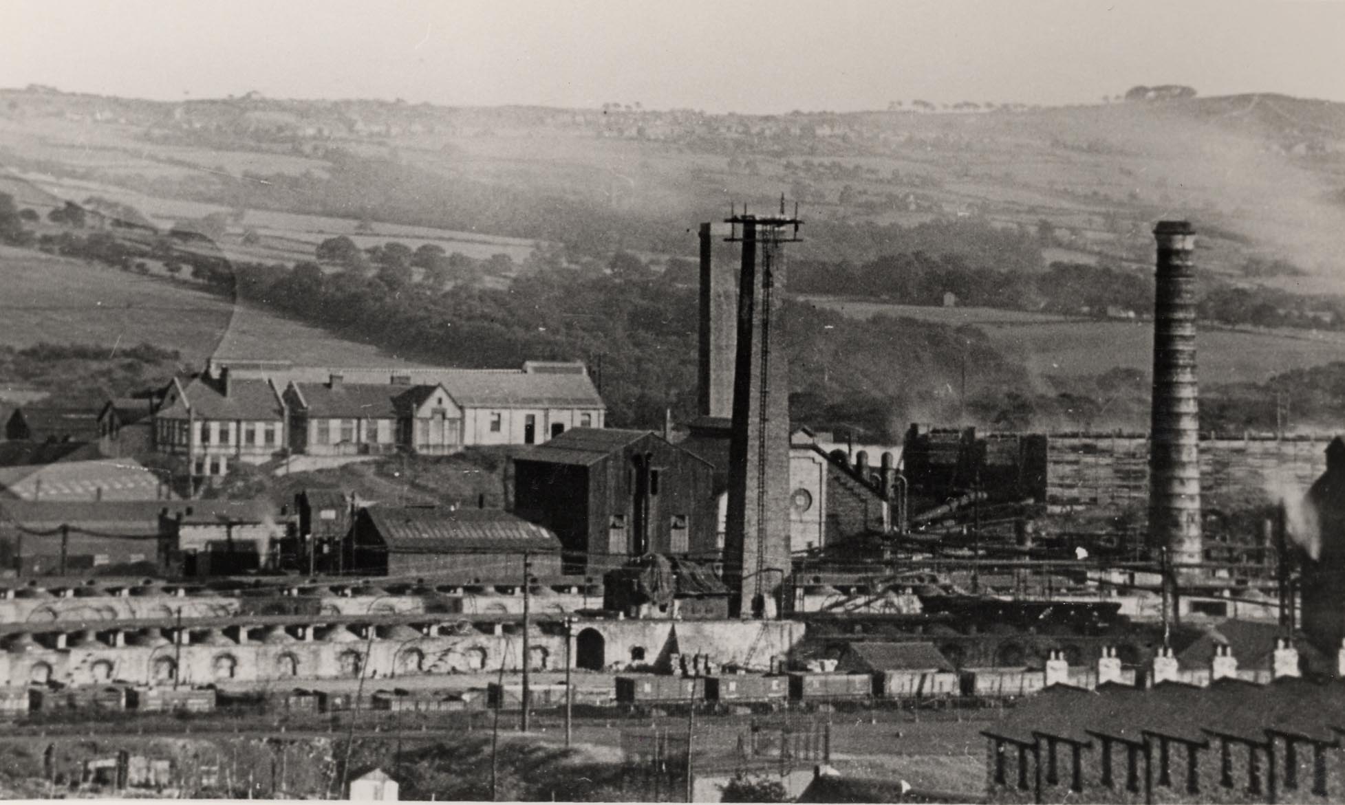
Whinfield coke works
Whinfield coke works was a large industrial complex located near Rowlands Gill in Tyne and Wear, North East England. The complex comprised a coking plant...
Rowlands Gill
Rowlands Gill is a village on the north bank of the River Derwent, in the Metropolitan Borough of Gateshead, Tyne and Wear, England. The Gibside Estate...

Rowlands Gill railway station
Rowlands Gill railway station served the village of Rowlands Gill, Tyne and Wear, England from 1867 to 1963 on the Derwent Valley Railway. == History... ==
Lintzford
Lintzford is a small village on the border of County Durham and Tyne and Wear, England. Situated on the River Derwent in the countryside near the town...

Derwent Park (Rowlands Gill)
Derwent Park is situated in Rowlands Gill, Tyne and Wear, England. The park is often incorrectly called Rowlands Gill Park as a result. The park has a...

Lintz Green railway station
Lintz Green Railway Station was on the Derwent Valley Railway Branch of the North Eastern Railway near Consett, County Durham, England. The railway station...
Nearby Amenities
Located within 500m of 54.926787,-1.7672537Have you been to Betty Plantation?
Leave your review of Betty Plantation below (or comments, questions and feedback).