Broadwood

Wood, Forest in Gloucestershire Cotswold

England

Broadwood

Stone Stile, Sherborne On the LHS of the entrance to Oranges Farm, on Gloucestershire footpath KSH13, looking SW.
Stone Stile, Sherborne Credit: Susan Lang

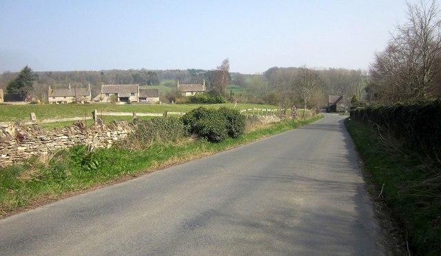
Broadwood is a small village located in the county of Gloucestershire, England. Situated in the heart of the picturesque Forest of Dean, Broadwood is surrounded by dense woodland, making it a haven for nature enthusiasts and outdoor adventurers alike.

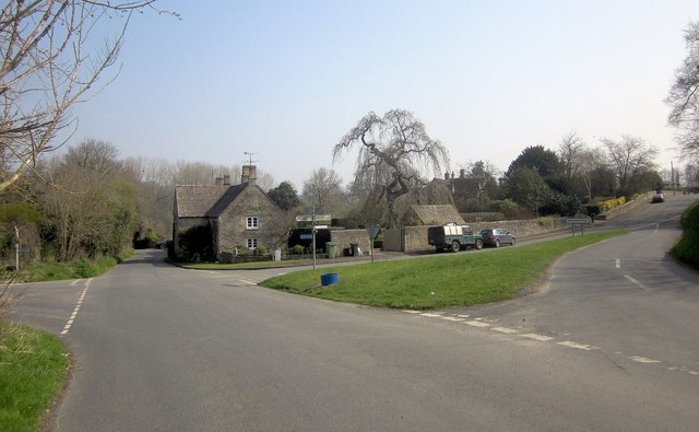
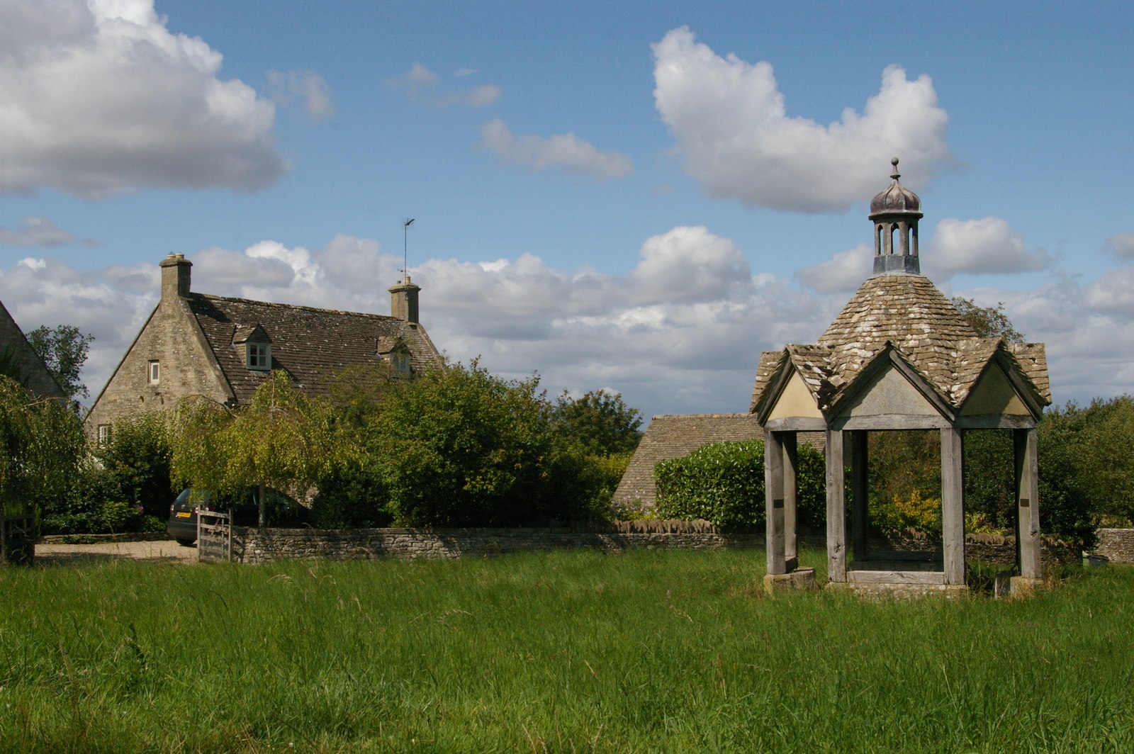
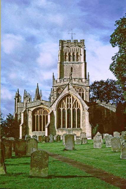
The village itself is characterized by its quaint charm and rural atmosphere. The architecture of the houses reflects the traditional English countryside style, with many buildings dating back several centuries. The local church, St. Mary's, is a prominent feature of the village, showcasing stunning medieval stonework and serving as a reminder of Broadwood's rich history.

Broadwood offers a range of amenities to its residents and visitors. The village boasts a cozy pub, The Forest Inn, where locals gather to enjoy a pint and good conversation. Additionally, there is a small convenience store that meets the basic needs of the community.

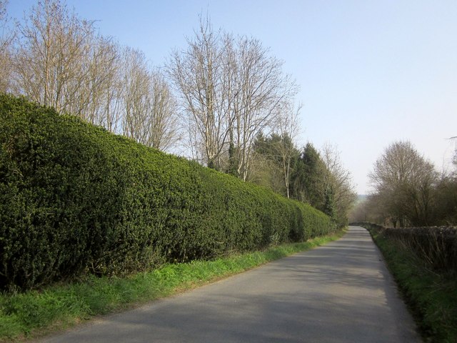
The Forest of Dean, which surrounds Broadwood, offers an array of outdoor activities. From hiking and cycling through the ancient woodland to horseback riding and wildlife spotting, there is something for everyone to enjoy. The forest is also known for its rich biodiversity, home to a variety of plant and animal species, including the iconic wild boar.

Despite its tranquil setting, Broadwood is conveniently located near larger towns and cities. Gloucester, the county town of Gloucestershire, is just a short drive away, offering a wider range of amenities and cultural attractions.

In conclusion, Broadwood is a charming village nestled within the beautiful Forest of Dean. Its idyllic countryside setting, rich history, and proximity to nature make it a desirable destination for those seeking a peaceful retreat or an outdoor adventure.

If you have any feedback on the listing, please let us know in the comments section below.
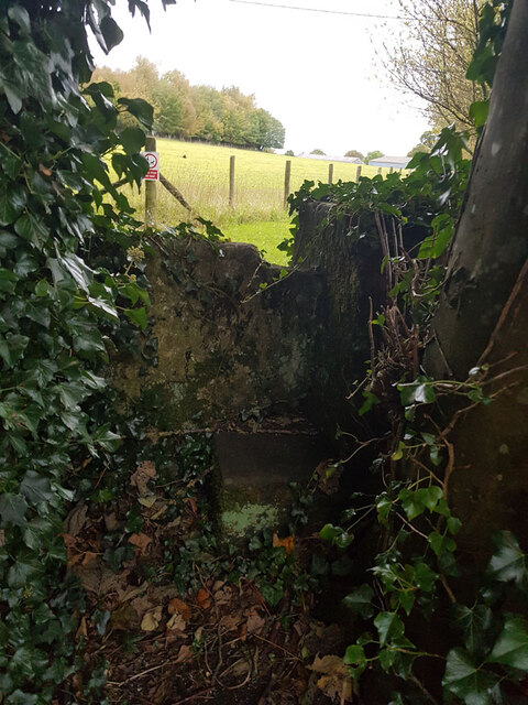
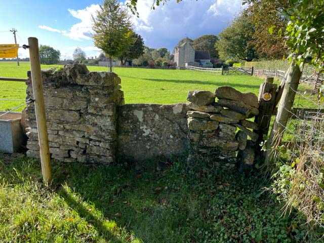
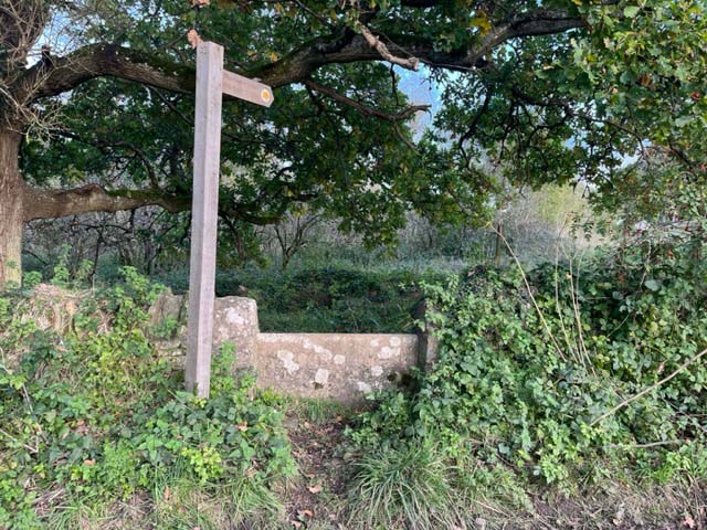
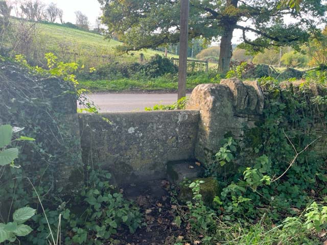
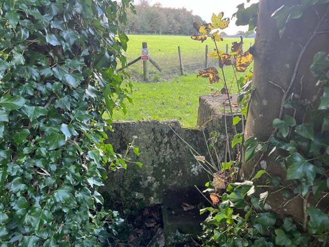
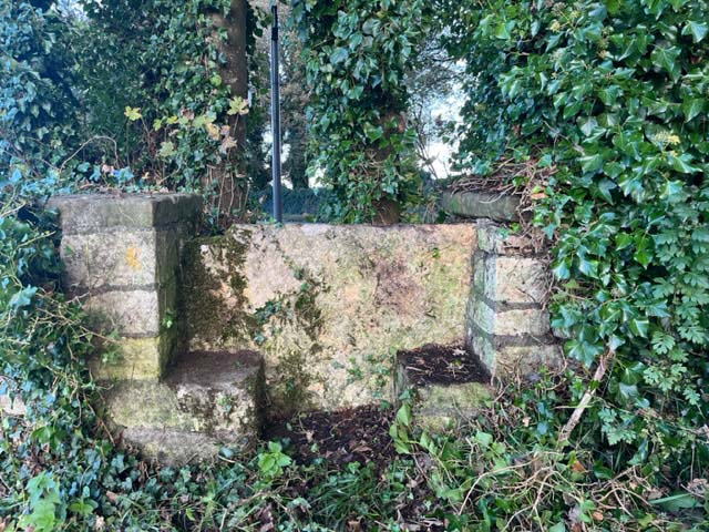
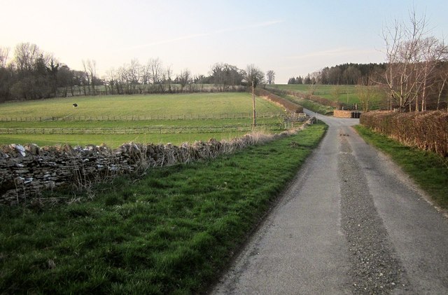
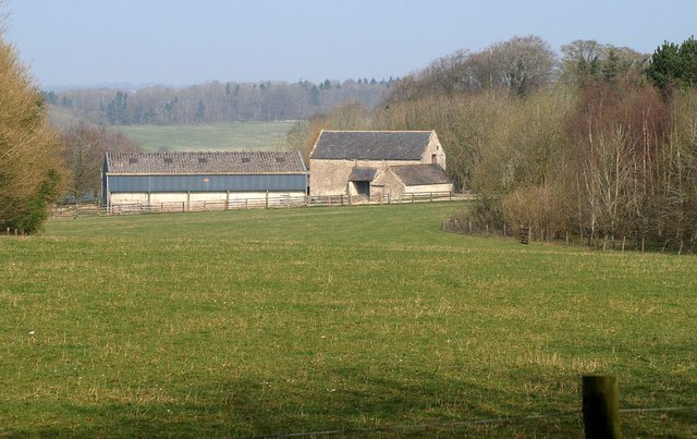
Broadwood Images

Images are sourced within 2km of 51.844763/-1.7854945 or Grid Reference SP1416. Thanks to Geograph Open Source API. All images are credited.

Stone Stile, Sherborne On the LHS of the entrance to Oranges Farm, on Gloucestershire footpath KSH13, looking SW.
Stone Stile, Sherborne
On the LHS of the entrance to Oranges Farm, on Gloucestershire footpath KSH13, looking SW.
St Peter's church, Farmington Small parish church dating back to the twelfth century <span class="nowrap"><a title="https://historicengland.org.uk/listing/the-list/list-entry/1090503?section=official-list-entry" rel="nofollow ugc noopener" href="https://historicengland.org.uk/listing/the-list/list-entry/1090503?section=official-list-entry">Link</a><img style="margin-left:2px;" alt="External link" title="External link - shift click to open in new window" src="https://s1.geograph.org.uk/img/external.png" width="10" height="10"/></span>
St Peter's church, Farmington
Small parish church dating back to the twelfth century LinkExternal link
Grass field near Farmington
St Peter's Church, Farmington
Stone Stile, Farmington On Gloucestershire footpath KFA/3 looking at Farmington Close, the house in the near distance.
The alternative view, East, is <a href="https://www.geograph.org.uk/photo/7635951">SP1315 : Stone Stile, Farmington</a>.
Stone Stile, Farmington
On Gloucestershire footpath KFA/3 looking at Farmington Close, the house in the near distance. The alternative view, East, is SP1315 : Stone Stile, Farmington.
Stone Stile, Farmington On Gloucestershire footpath KFA/3 looking East near "Arrandene".
The alternative view looking at Farmington Close is <a href="https://www.geograph.org.uk/photo/7635948">SP1315 : Stone Stile, Farmington</a>.
Stone Stile, Farmington
On Gloucestershire footpath KFA/3 looking East near "Arrandene". The alternative view looking at Farmington Close is SP1315 : Stone Stile, Farmington.
Stone Stile, Sherborne On  Gloucestershire footpath KSH14 heading back to the village.
The view West looking to the road is <a href="https://www.geograph.org.uk/photo/7640913">SP1615 : Stone Stile, Sherborne</a>.
Stone Stile, Sherborne
On Gloucestershire footpath KSH14 heading back to the village. The view West looking to the road is SP1615 : Stone Stile, Sherborne.
Stone Stile, Sherborne On  Gloucestershire footpath KSH14  looking to the road.
The view East  heading back to the village is <a href="https://www.geograph.org.uk/photo/7640906">SP1615 : Stone Stile, Sherborne</a>.
Stone Stile, Sherborne
On Gloucestershire footpath KSH14 looking to the road. The view East heading back to the village is SP1615 : Stone Stile, Sherborne.
Stone Stile, Sherborne At the entrance to Oranges Farm, on Gloucestershire footpath KSH13 looking from the road.
The view NE looking to the road is <a href="https://www.geograph.org.uk/photo/7640930">SP1514 : Stone Stile, Sherborne</a>.
Stone Stile, Sherborne
At the entrance to Oranges Farm, on Gloucestershire footpath KSH13 looking from the road. The view NE looking to the road is SP1514 : Stone Stile, Sherborne.
Stone Stile, Sherborne At the entrance to Oranges Farm, on Gloucestershire footpath KSH13 looking out to the road.
The view SW from the road is <a href="https://www.geograph.org.uk/photo/7640927">SP1514 : Stone Stile, Sherborne</a>.
Stone Stile, Sherborne
At the entrance to Oranges Farm, on Gloucestershire footpath KSH13 looking out to the road. The view SW from the road is SP1514 : Stone Stile, Sherborne.
False Oxlip near the Sherborne Brook By footpath KFA 8/3.
False Oxlip near the Sherborne Brook
By footpath KFA 8/3.
In the Sherborne Brook valley Footpath KFA 8/3 runs along the valley floor. On the right is Folly Copse.
In the Sherborne Brook valley
Footpath KFA 8/3 runs along the valley floor. On the right is Folly Copse.
Culvert, Empshill Farm The Sherborne Brook enters a culvert to take it beneath the lane (between the walls) from Farmington and the farm. Maps suggest it remains below ground for 200 metres. This is on footpath KFA 8/3 which ends at the gate onto the lane ahead.
Culvert, Empshill Farm
The Sherborne Brook enters a culvert to take it beneath the lane (between the walls) from Farmington and the farm. Maps suggest it remains below ground for 200 metres. This is on footpath KFA 8/3 which ends at the gate onto the lane ahead.
Lane to Farmington A lane from the A40, here passing Empshill Farm on the right as it crosses the culverted Sherborne Brook (see <a href="https://www.geograph.org.uk/photo/4667374">SP1314 : Culvert, Empshill Farm</a>).
Lane to Farmington
A lane from the A40, here passing Empshill Farm on the right as it crosses the culverted Sherborne Brook (see SP1314 : Culvert, Empshill Farm).
The Oranges Farm, Sherborne Farm buildings seen from the road shown in <a href="https://www.geograph.org.uk/photo/4668946">SP1514 : Road to Sherborne</a> through a gap between Teardrop Wood and Stoney Copse.
The Oranges Farm, Sherborne
Farm buildings seen from the road shown in SP1514 : Road to Sherborne through a gap between Teardrop Wood and Stoney Copse.
Road to Sherborne A tall hedge runs alongside the road from Radbutt's Corner; on the right is Ragged Copse.
Road to Sherborne
A tall hedge runs alongside the road from Radbutt's Corner; on the right is Ragged Copse.
Approaching Sherborne The road shown in <a href="https://www.geograph.org.uk/photo/4669027">SP1614 : Road to Sherborne</a> approaches the crossroads near the west end of the village.
Approaching Sherborne
The road shown in SP1614 : Road to Sherborne approaches the crossroads near the west end of the village.
Grass triangle, Sherborne The road from Radbutt's Corner into the Sherborne Brook valley crosses the winding lane through the village, which runs along the southern valley slopes.
Grass triangle, Sherborne
The road from Radbutt's Corner into the Sherborne Brook valley crosses the winding lane through the village, which runs along the southern valley slopes.
Show me another place!

Broadwood is located at Grid Ref: SP1416 (Lat: 51.844763, Lng: -1.7854945)

Administrative County: Gloucestershire

District: Cotswold

Police Authority: Gloucestershire

What 3 Words

///ventures.goodbyes.draining. Near Northleach, Gloucestershire

Nearby Locations

Starveall Copse Broadwood

Related Wikis

Have you been to Broadwood?

Leave your review of Broadwood below (or comments, questions and feedback).