Black Firs

Wood, Forest in Hampshire New Forest

England

Black Firs

Christchurch Road, Ringwood Christchurch Road forms part of the route of the B3347 as it heads out of the town of Ringwood.
Christchurch Road, Ringwood Credit: Malc McDonald

Black Firs is a picturesque woodland located in the county of Hampshire, England. Nestled within the New Forest National Park, this enchanting forest covers an area of approximately 100 acres. The woodland is characterized by its dense growth of tall, majestic fir trees, which give the area its distinctive name.

This ancient woodland is a haven for nature lovers and outdoor enthusiasts alike. It boasts a rich and diverse ecosystem, with a variety of flora and fauna calling it home. The forest floor is carpeted with vibrant wildflowers, providing a beautiful contrast to the dark green hues of the towering firs. Visitors can also expect to encounter an array of wildlife, including deer, squirrels, and a multitude of bird species.

Black Firs offers a network of well-maintained walking trails, allowing visitors to explore the forest at their leisure. The trails wind through the woodland, providing breathtaking views of the surrounding countryside and glimpses of wildlife along the way. The peaceful atmosphere and tranquil surroundings make it an ideal destination for those seeking a quiet retreat or a refreshing escape from the hustle and bustle of everyday life.

The woodland is also steeped in history, with evidence of human activity dating back centuries. Remnants of ancient settlements and archaeological sites can be found within the forest, adding an intriguing element to any visit.

Overall, Black Firs is a captivating forest that offers a unique blend of natural beauty, serenity, and historical significance. Whether you are an avid nature enthusiast or simply seeking a peaceful retreat, this woodland in Hampshire is sure to leave a lasting impression.

If you have any feedback on the listing, please let us know in the comments section below.
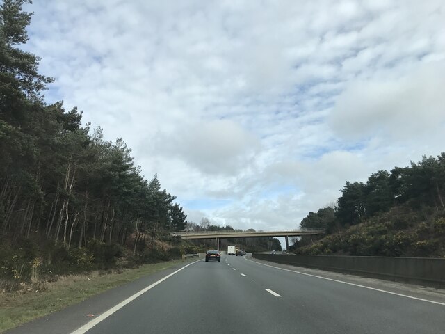
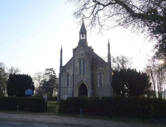
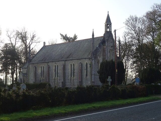
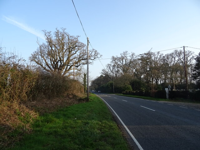
Black Firs Images

Images are sourced within 2km of 50.826344/-1.7917369 or Grid Reference SU1402. Thanks to Geograph Open Source API. All images are credited.

Christchurch Road, Ringwood Christchurch Road forms part of the route of the B3347 as it heads out of the town of Ringwood.
Christchurch Road, Ringwood
Christchurch Road forms part of the route of the B3347 as it heads out of the town of Ringwood.
Salvation Army, Ringwood The Salvation Army church in Ringwood, photographed on a damp and gloomy day in August 2021.
Salvation Army, Ringwood
The Salvation Army church in Ringwood, photographed on a damp and gloomy day in August 2021.
Bickerley Millstream, Ringwood Bickerley Millstream is a short branch of the River Avon as it passes through the town of Ringwood in Hampshire.
Bickerley Millstream, Ringwood
Bickerley Millstream is a short branch of the River Avon as it passes through the town of Ringwood in Hampshire.
Castleman Trailway, Ringwood The Castleman Trailway crossing the River Avon in Ringwood using a former railway bridge.
Castleman Trailway, Ringwood
The Castleman Trailway crossing the River Avon in Ringwood using a former railway bridge.
Bickerley Millstream, Ringwood Bickerley Millstream is a branch of the River Avon as it flows through Ringwood in Hampshire.
Bickerley Millstream, Ringwood
Bickerley Millstream is a branch of the River Avon as it flows through Ringwood in Hampshire.
Bickerley Millstream, Ringwood Bickerley Millstream is a branch of the River Avon as it flows through Ringwood in Hampshire.
Bickerley Millstream, Ringwood
Bickerley Millstream is a branch of the River Avon as it flows through Ringwood in Hampshire.
Riverside, Ringwood Houses on Riverside in Ringwood.  As its name suggests, this minor road runs along a river bank.
Riverside, Ringwood
Houses on Riverside in Ringwood. As its name suggests, this minor road runs along a river bank.
The Old Mill House, Bickerley, Ringwood after the fire of 1972 (1) Photographed shortly after the fire that destroyed the building after lying derelict for some considerable time. A former C19 *fulling mill with an adjoining house for the miller, it later became a hotel and after the fire, was eventually demolished to be replaced with modern flats: <a title="https://www.geograph.org.uk/photo/6978289" href="https://www.geograph.org.uk/photo/6978289">Link</a>

*The process which followed weaving in woollen cloth manufacture.

<a href="https://www.geograph.org.uk/photo/7043153">SU1404 : The Old Mill House, Bickerley, Ringwood after the fire of 1972 (2)</a>
The Old Mill House, Bickerley, Ringwood after the fire of 1972 (1)
Photographed shortly after the fire that destroyed the building after lying derelict for some considerable time. A former C19 *fulling mill with an adjoining house for the miller, it later became a hotel and after the fire, was eventually demolished to be replaced with modern flats: Link *The process which followed weaving in woollen cloth manufacture. SU1404 : The Old Mill House, Bickerley, Ringwood after the fire of 1972 (2)
The Old Mill House, Bickerley, Ringwood after the fire of 1972 (2) Photographed shortly after the fire that destroyed the building after lying derelict for some considerable time. A former C19 *fulling mill with an adjoining house for the miller, it later became a hotel and after the fire, was eventually demolished to be replaced with modern flats: <a title="https://www.geograph.org.uk/photo/6978289" href="https://www.geograph.org.uk/photo/6978289">Link</a>

*The process which followed weaving in woollen cloth manufacture.

<a href="https://www.geograph.org.uk/photo/7043161">SU1404 : The Old Mill House, Bickerley, Ringwood after the fire of 1972 (3)</a>
The Old Mill House, Bickerley, Ringwood after the fire of 1972 (2)
Photographed shortly after the fire that destroyed the building after lying derelict for some considerable time. A former C19 *fulling mill with an adjoining house for the miller, it later became a hotel and after the fire, was eventually demolished to be replaced with modern flats: Link *The process which followed weaving in woollen cloth manufacture. SU1404 : The Old Mill House, Bickerley, Ringwood after the fire of 1972 (3)
The Old Mill House, Bickerley, Ringwood after the fire of 1972 (3) Photographed shortly after the fire that destroyed the building after lying derelict for some considerable time. A former C19 *fulling mill with an adjoining house for the miller, it later became a hotel and after the fire, was eventually demolished to be replaced with modern flats: <a title="https://www.geograph.org.uk/photo/6978289" href="https://www.geograph.org.uk/photo/6978289">Link</a>

*The process which followed weaving in woollen cloth manufacture.

<a href="https://www.geograph.org.uk/photo/7043148">SU1404 : The Old Mill House, Bickerley, Ringwood after the fire of 1972 (1)</a>
The Old Mill House, Bickerley, Ringwood after the fire of 1972 (3)
Photographed shortly after the fire that destroyed the building after lying derelict for some considerable time. A former C19 *fulling mill with an adjoining house for the miller, it later became a hotel and after the fire, was eventually demolished to be replaced with modern flats: Link *The process which followed weaving in woollen cloth manufacture. SU1404 : The Old Mill House, Bickerley, Ringwood after the fire of 1972 (1)
Crow Arch This bridge, known as 'Crow Arch' on the old LSWR 'Castleman's Corkscrew' line near Ringwood is approached by a steeply sloping road on either side - not for the faint-hearted when riding a bike!  Immediately past the bridge, the railway entered Ringwood Goods Yard before reaching the station.
Crow Arch
This bridge, known as 'Crow Arch' on the old LSWR 'Castleman's Corkscrew' line near Ringwood is approached by a steeply sloping road on either side - not for the faint-hearted when riding a bike! Immediately past the bridge, the railway entered Ringwood Goods Yard before reaching the station.
Bickerley railway bridge over The Millstream This is one of three bridges over branches of the River Avon at Ringwood.  It carried the old Brockenhurst to Wimborne railway line over The Millstream.  The bridges were rebuilt with concrete decks in the early 1960's just prior to the closure of the line.  Originally the bridges were built to carry three railway tracks, two for the main line and one for the branch from Ringwood to Christchurch.  The new bridges only carried two tracks, but nowadays carry the 'Castleman Way' footpath.
Bickerley railway bridge over The Millstream
This is one of three bridges over branches of the River Avon at Ringwood. It carried the old Brockenhurst to Wimborne railway line over The Millstream. The bridges were rebuilt with concrete decks in the early 1960's just prior to the closure of the line. Originally the bridges were built to carry three railway tracks, two for the main line and one for the branch from Ringwood to Christchurch. The new bridges only carried two tracks, but nowadays carry the 'Castleman Way' footpath.
Castleman Way The roundabout marks the junction of Castleman Way and Christchurch Road.  Castleman Way is built on the trackbed of the old LSWR main line from Southampton to Dorchester ('Castleman's Corkscrew').  Castleman was a local solicitor who was prominent in the building of the Southampton and Dorchester Railway and later became Chairman of the London and South Western Railway.  There was a level crossing here with a signal box on the right opposite the car.  Long traffic delays used to result when there were shunting movements around Ringwood Station, which was behind the camera position.
Castleman Way
The roundabout marks the junction of Castleman Way and Christchurch Road. Castleman Way is built on the trackbed of the old LSWR main line from Southampton to Dorchester ('Castleman's Corkscrew'). Castleman was a local solicitor who was prominent in the building of the Southampton and Dorchester Railway and later became Chairman of the London and South Western Railway. There was a level crossing here with a signal box on the right opposite the car. Long traffic delays used to result when there were shunting movements around Ringwood Station, which was behind the camera position.
Bridge over A338 northbound
Signage on A338 northbound
St Paul's Church
St Paul's Church
St Paul's Church
St Paul's Church
B3347 towards Kingston
Show me another place!

Black Firs is located at Grid Ref: SU1402 (Lat: 50.826344, Lng: -1.7917369)

Administrative County: Hampshire

District: New Forest

Police Authority: Hampshire

What 3 Words

///glare.avoiding.lends. Near Ringwood, Hampshire

Related Wikis

RAF Bisterne

Royal Air Force Bisterne or more simply RAF Bisterne is a former Royal Air Force Advanced Landing Ground in Hampshire, England. The airfield is located...

Ringwood Town F.C.

Ringwood Town F.C. is a football club based in Ringwood, Hampshire, England. The club is affiliated to the Hampshire Football Association, and is a FA...

Avon Lodge railway station

Avon Lodge was a private untimetabled railway station in the county of Hampshire (now Dorset), opened on 13 November 1862 by the Ringwood, Christchurch...

Bisterne

Bisterne is a hamlet in the civil parish of Ringwood in the New Forest National Park in Hampshire, England. Its nearest town is Ringwood, which lies 3...

Ringwood railway station

Ringwood is a closed railway station in the county of Hampshire, England which served the town of Ringwood. It lay on the former Southampton and Dorchester...

Sandford, Hampshire

Sandford is a small hamlet in the New Forest National Park of Hampshire, England. The nearest town to Sandford is Ringwood, which is approximately 2.6...

Avon Heath Country Park

Avon Heath Country Park is a Green Flag–awarded park located in St Leonards, Dorset, approx 10 miles north of Bournemouth. The park is dominated by acres...

Ringwood Waldorf School

The Ringwood Waldorf School is a private alternative school standing on the borders of Dorset and Hampshire, with classes ranging from Kindergarten to...

Nearby Amenities

Located within 500m of 50.826344,-1.7917369
Barrier: stile
Lat/Long: 50.8224351/-1.7896226
Barrier: stile
Lat/Long: 50.8232747/-1.7897019
Barrier: stile
Bicycle: no
Foot: yes
Horse: no
Motor Vehicle: no
Lat/Long: 50.830107/-1.7896793
Barrier: cattle_grid
Bicycle: yes
Fixme: This cattle grid is completely inaccessible by any transport, and is basically overgrown / abandoned. I'm presumning this is a leftover from when this used to be an access road - but should it now be removed in favour of the footpath / stile?
Foot: yes
Motorcar: yes
Motorcycle: yes
Lat/Long: 50.8300648/-1.7897125
Barrier: cattle_grid
Lat/Long: 50.823325/-1.7868939
Barrier: yes
Lat/Long: 50.8236105/-1.7868221
Man Made: utility_pole
Lat/Long: 50.8269856/-1.7866495
Man Made: utility_pole
Lat/Long: 50.8268721/-1.786072
The data included in this document is from www.openstreetmap.org. The data is made available under ODbL.

Have you been to Black Firs?

Leave your review of Black Firs below (or comments, questions and feedback).