Bonner's Wood

Wood, Forest in Durham

England

Bonner's Wood

Old Lintz Green Station Bridge
Old Lintz Green Station Bridge Credit: Clive Nicholson

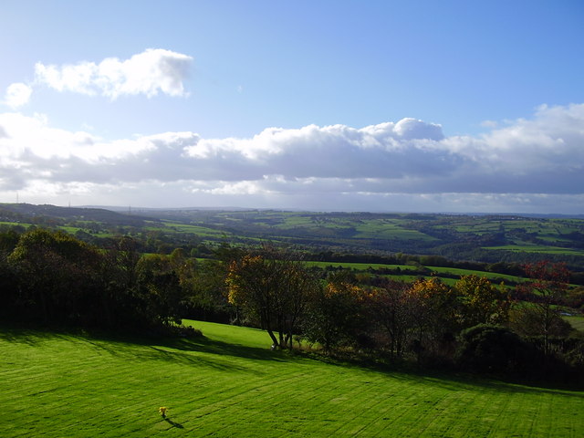
Bonner's Wood is a picturesque woodland located in Durham, England. Situated on the outskirts of the city, this enchanting forest covers an area of approximately 100 acres, making it an ideal destination for nature enthusiasts and outdoor adventurers.

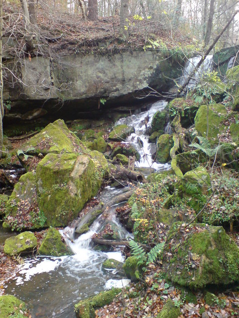
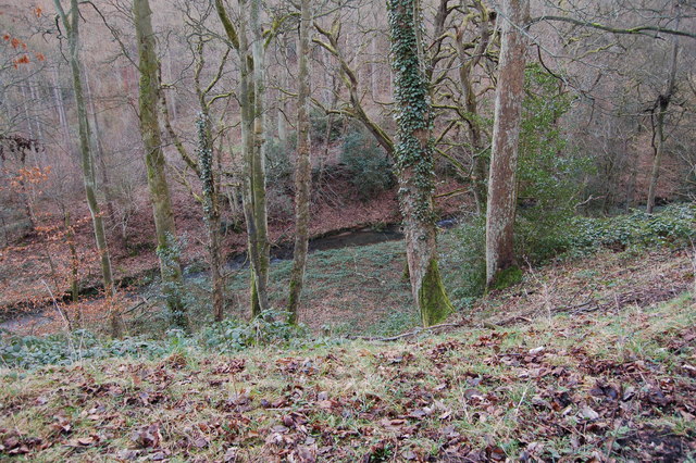
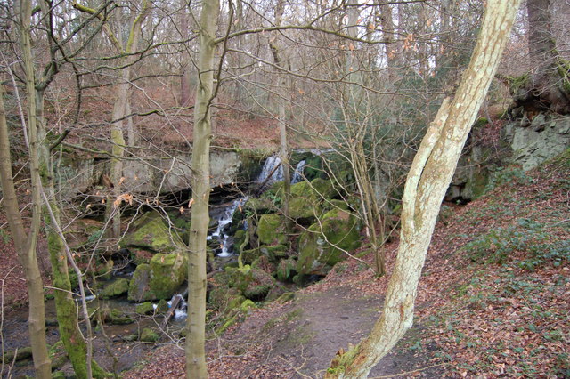
The wood boasts a diverse range of native tree species, including oak, beech, birch, and ash, which create a dense canopy, providing a serene and peaceful atmosphere. The forest floor is adorned with a vibrant carpet of wildflowers, adding bursts of color to the landscape during spring and summer.

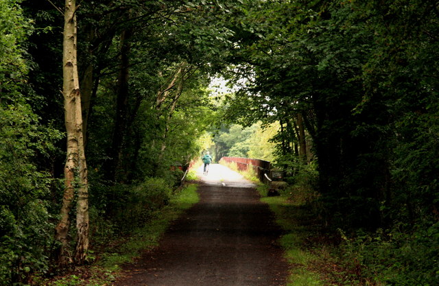
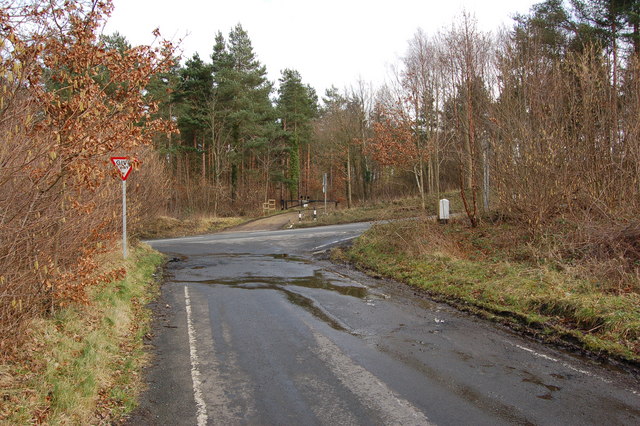
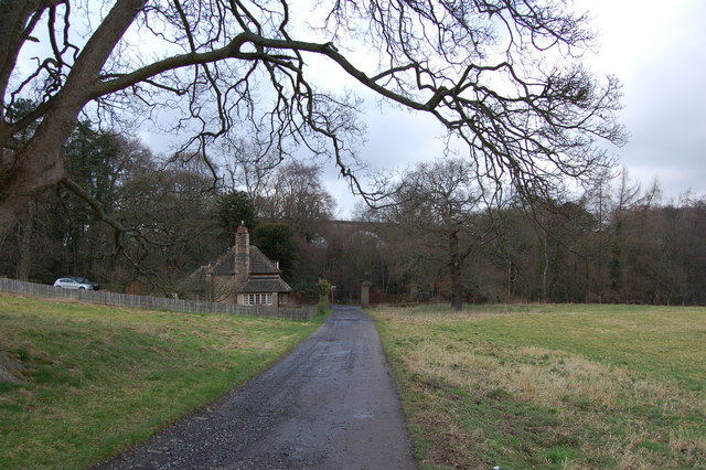
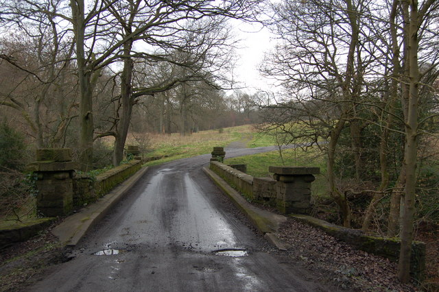
Visitors to Bonner's Wood can enjoy a network of well-maintained walking trails that wind through the forest, offering opportunities for exploration and discovery. These trails cater to a variety of fitness levels, ensuring that everyone can enjoy the beauty of the woodland at their own pace.

The wood is also home to a rich array of wildlife. Birdwatchers can spot species such as woodpeckers, nuthatches, and tawny owls, while lucky visitors may even catch a glimpse of deer or foxes roaming freely through the trees. The tranquil atmosphere of Bonner's Wood provides a perfect habitat for these creatures, making it a haven for nature lovers.

In addition to its natural beauty, Bonner's Wood also plays an important role in the local community. It is a site of conservation and education, with programs and workshops held to raise awareness about the importance of preserving and protecting our natural environment.

Overall, Bonner's Wood offers a serene escape from the bustling city life, providing a sanctuary for both nature and people alike.

If you have any feedback on the listing, please let us know in the comments section below.

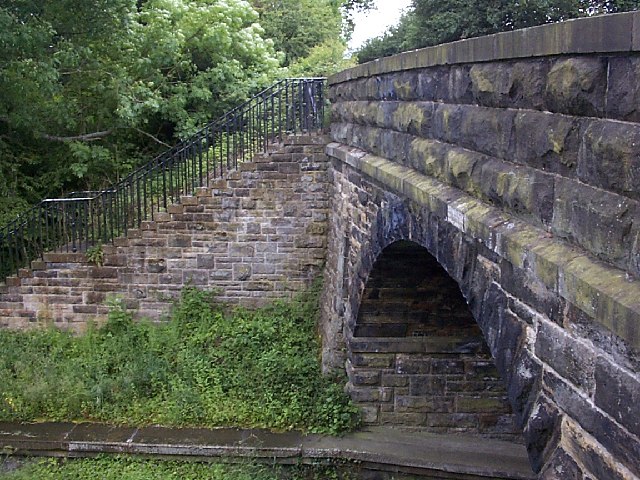
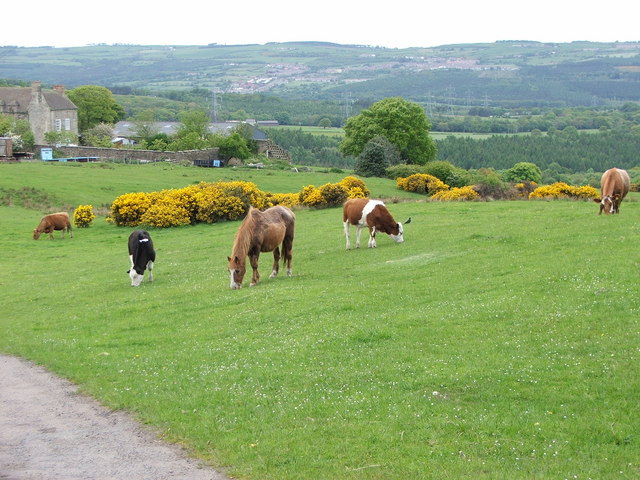
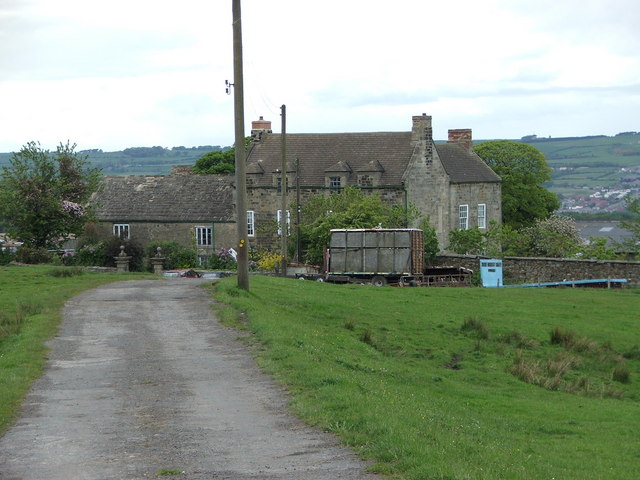
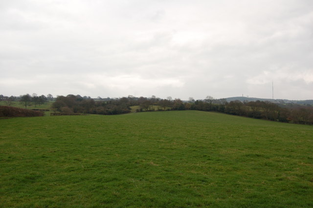
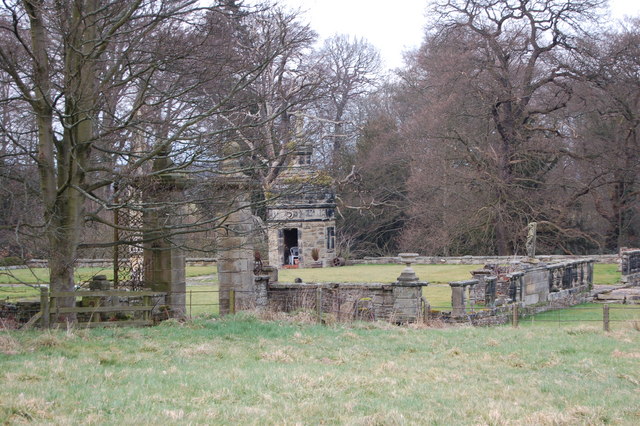
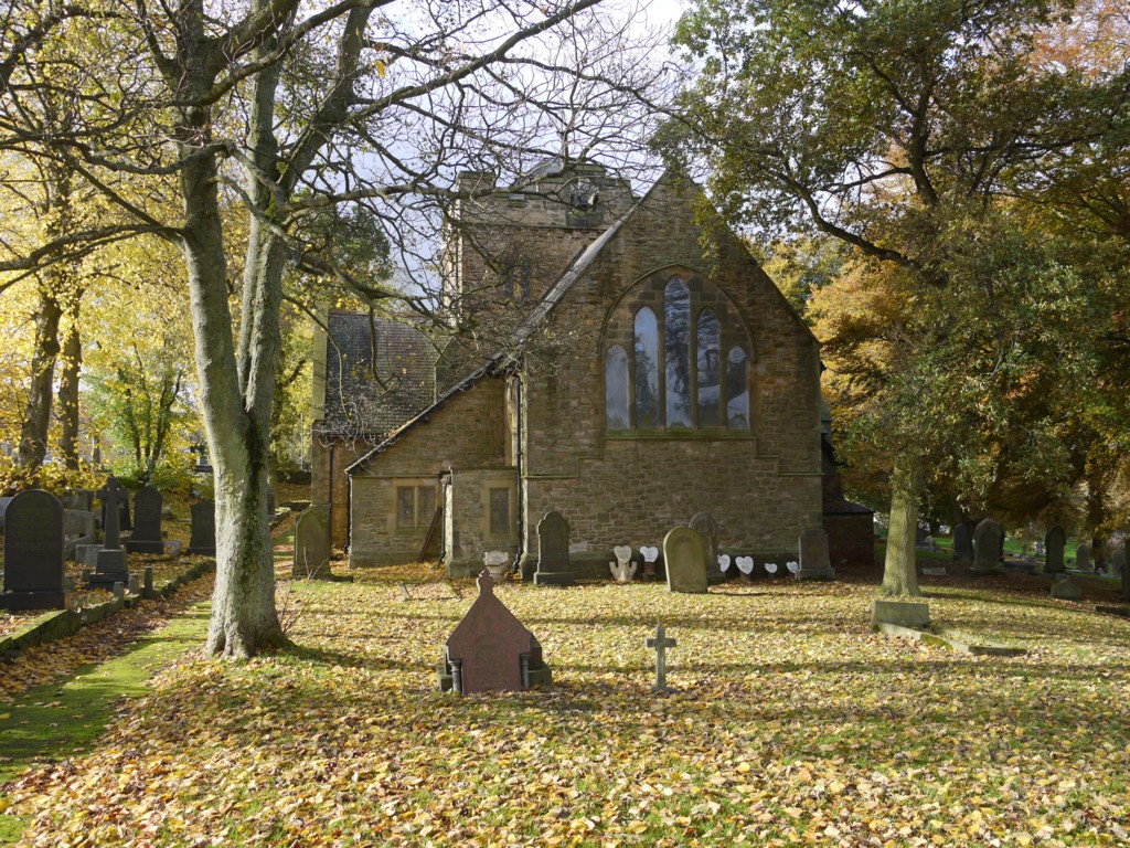
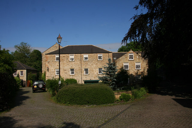
Bonner's Wood Images

Images are sourced within 2km of 54.893186/-1.7714073 or Grid Reference NZ1455. Thanks to Geograph Open Source API. All images are credited.

Old Lintz Green Station Bridge
Mountsett Crematorium
Grazing Livestock in the fields surrounding Pontop Hall Farm
Grazing Livestock
in the fields surrounding Pontop Hall Farm
Pontop Hall Farm Fantastic views of the valley - on a clear day!
Pontop Hall Farm
Fantastic views of the valley - on a clear day!
Derwent walk & cycleway, near Hamsterley Mill View of the cycleway just west of the viaduct. This excellent footpath and cycleway follows the former trackbed of the Derwent Valley Railway.  More information at: <span class="nowrap"><a title="http://www.cycle-routes.org/threerivers/3r_bridges/derwent_bridges.html" rel="nofollow ugc noopener" href="http://www.cycle-routes.org/threerivers/3r_bridges/derwent_bridges.html">Link</a><img style="margin-left:2px;" alt="External link" title="External link - shift click to open in new window" src="https://s1.geograph.org.uk/img/external.png" width="10" height="10"/></span>
Derwent walk & cycleway, near Hamsterley Mill
View of the cycleway just west of the viaduct. This excellent footpath and cycleway follows the former trackbed of the Derwent Valley Railway. More information at: LinkExternal link
Derwent Walk & Cycleway, Priestfield Wood A section of this excellent footpath and cycleway on the former trackbed of the three rivers railway.  More information at: <span class="nowrap"><a title="http://www.cycle-routes.org/threerivers/3r_bridges/derwent_bridges.html" rel="nofollow ugc noopener" href="http://www.cycle-routes.org/threerivers/3r_bridges/derwent_bridges.html">Link</a><img style="margin-left:2px;" alt="External link" title="External link - shift click to open in new window" src="https://s1.geograph.org.uk/img/external.png" width="10" height="10"/></span>
Derwent Walk & Cycleway, Priestfield Wood
A section of this excellent footpath and cycleway on the former trackbed of the three rivers railway. More information at: LinkExternal link
Trees at Mountsett Crematorium
Pont Burn Waterfall Waterfall in Pontburn Wood Natyre Reserve close to Hamsterley Hall
Pont Burn Waterfall
Waterfall in Pontburn Wood Natyre Reserve close to Hamsterley Hall
Road junction on B6310 across from Make Me Rich Plantation
Viaduct carrying Derwent walk, Hamsterley Hall
The Pont burn
The Pont burn
Bridge over the Pont burn Hamsterley hall
Waterfall in Collierley wood - Pont burn
Strange gazebo Hamsterley Hall home of author Robert Smith Surtees who inherited the house in 1831.
Strange gazebo Hamsterley Hall
home of author Robert Smith Surtees who inherited the house in 1831.
Pylons near Southfield Farm
Holly bush and start of footpath to Struthers Wood
Collierley
Collierley
Hilly countryside below Dipton
Show me another place!

Bonner's Wood is located at Grid Ref: NZ1455 (Lat: 54.893186, Lng: -1.7714073)

Unitary Authority: County Durham

Police Authority: Durham

What 3 Words

///reinvest.nests.gums. Near Burnopfield, Co. Durham

Related Wikis

Nearby Amenities

Located within 500m of 54.893186,-1.7714073
Waterway: crossing
Lat/Long: 54.8973142/-1.7739374
Ford: yes
Lat/Long: 54.8954939/-1.7737576
Power: pole
Lat/Long: 54.8906757/-1.7684314
Power: pole
Lat/Long: 54.8913375/-1.7689919
Power: pole
Lat/Long: 54.891963/-1.7694989
Power: pole
Lat/Long: 54.8925422/-1.7699642
Power: pole
Lat/Long: 54.8942691/-1.7700407
Power: pole
Lat/Long: 54.8935959/-1.769632
Power: pole
Lat/Long: 54.8929703/-1.7691582
Power: pole
Lat/Long: 54.8909079/-1.7740291
Power: pole
Lat/Long: 54.8913938/-1.7729174
Power: pole
Lat/Long: 54.8918666/-1.7718016
Power: pole
Lat/Long: 54.8922376/-1.7709258
Power: pole
Lat/Long: 54.8925831/-1.7700219
Power: pole
Lat/Long: 54.8949571/-1.7646173
Power: pole
Lat/Long: 54.8942768/-1.7656419
Power: pole
Lat/Long: 54.8937686/-1.7669629
Power: pole
Lat/Long: 54.8932734/-1.768249
The data included in this document is from www.openstreetmap.org. The data is made available under ODbL.

Have you been to Bonner's Wood?

Leave your review of Bonner's Wood below (or comments, questions and feedback).