Ash Coppice

Wood, Forest in Gloucestershire Stratford-on-Avon

England

Ash Coppice

Southern part of Binton Bridges Seen from the Four Alls public house garden. There are two bridges here, as the river forms two small islands. There has been a bridge here since the 13th century and this was most probably the crossing used by Charles II on his flight from Worcester. Until about 1780 the bridges were only wide enough for horse and foot traffic and extended only to the southernmost island, the passage to the Welford side being continued through a ford. The ford became impassable and c. 1783 William Silvester, one of the tenants, pulled down the old bridge and built a series of small bridges, just wide enough for wagons, which carried the road right across the river. <span class="nowrap"><a title="http://www.british-history.ac.uk/vch/warks/vol3/pp62-65" rel="nofollow ugc noopener" href="http://www.british-history.ac.uk/vch/warks/vol3/pp62-65">Link</a><img style="margin-left:2px;" alt="External link" title="External link - shift click to open in new window" src="https://s1.geograph.org.uk/img/external.png" width="10" height="10"/></span>
Southern part of Binton Bridges Credit: Eirian Evans

Ash Coppice is a small woodland area located in Gloucestershire, England. Situated in the heart of the Cotswolds, it covers an area of approximately 10 acres. The woodland primarily consists of ash trees, hence the name, but also includes a mix of other deciduous species such as oak, beech, and birch.

The forest is known for its diverse wildlife and is a popular destination for nature enthusiasts and birdwatchers. Various bird species can be spotted here, including woodpeckers, finches, and owls. The woodland floor is covered with a rich carpet of wildflowers, providing a habitat for butterflies and other insects.

Ash Coppice is managed by the local council to maintain its natural beauty and ecological balance. Paths and trails have been created to allow visitors to explore the forest and enjoy the peaceful surroundings. There are designated picnic areas and benches where visitors can relax and soak in the tranquil atmosphere.

The woodland is also important for conservation efforts, as it provides a valuable habitat for many species. It is part of a larger network of protected areas in the region, contributing to the overall biodiversity of Gloucestershire.

In addition to its natural beauty, Ash Coppice also has historical significance. The wood has been used for various purposes over the centuries, including timber production and charcoal making. Today, it stands as a testament to the enduring beauty of the Gloucestershire countryside and serves as a cherished natural retreat for locals and tourists alike.

If you have any feedback on the listing, please let us know in the comments section below.
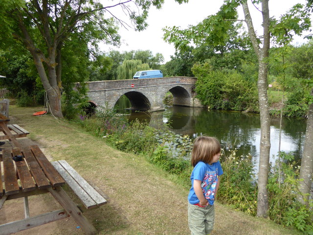
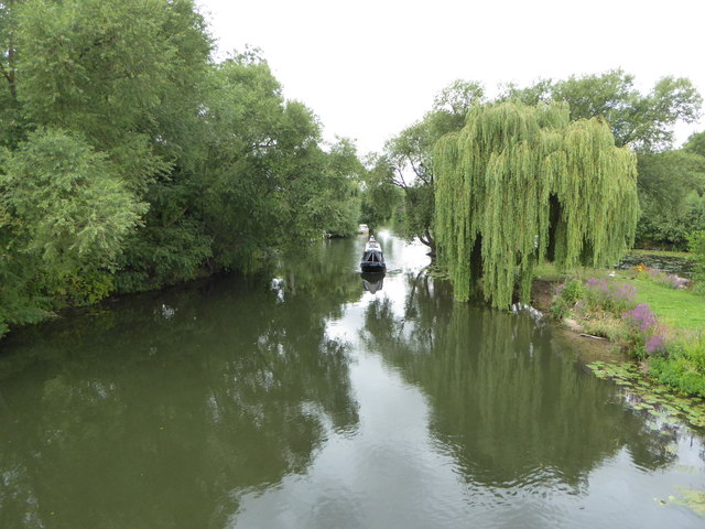
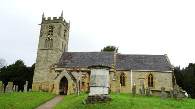
Ash Coppice Images

Images are sourced within 2km of 52.158081/-1.7861861 or Grid Reference SP1451. Thanks to Geograph Open Source API. All images are credited.

Southern part of Binton Bridges Seen from the Four Alls public house garden. There are two bridges here, as the river forms two small islands. There has been a bridge here since the 13th century and this was most probably the crossing used by Charles II on his flight from Worcester. Until about 1780 the bridges were only wide enough for horse and foot traffic and extended only to the southernmost island, the passage to the Welford side being continued through a ford. The ford became impassable and c. 1783 William Silvester, one of the tenants, pulled down the old bridge and built a series of small bridges, just wide enough for wagons, which carried the road right across the river. <span class="nowrap"><a title="http://www.british-history.ac.uk/vch/warks/vol3/pp62-65" rel="nofollow ugc noopener" href="http://www.british-history.ac.uk/vch/warks/vol3/pp62-65">Link</a><img style="margin-left:2px;" alt="External link" title="External link - shift click to open in new window" src="https://s1.geograph.org.uk/img/external.png" width="10" height="10"/></span>
Southern part of Binton Bridges
Seen from the Four Alls public house garden. There are two bridges here, as the river forms two small islands. There has been a bridge here since the 13th century and this was most probably the crossing used by Charles II on his flight from Worcester. Until about 1780 the bridges were only wide enough for horse and foot traffic and extended only to the southernmost island, the passage to the Welford side being continued through a ford. The ford became impassable and c. 1783 William Silvester, one of the tenants, pulled down the old bridge and built a series of small bridges, just wide enough for wagons, which carried the road right across the river. LinkExternal link
The River Avon at Binton, looking west
The River Avon at Binton Looking eastwards from the southern bridge
The River Avon at Binton
Looking eastwards from the southern bridge
The Four Alls, Welford-on Avon Sitting to the south of the River Avon at Binton Bridge
The Four Alls, Welford-on Avon
Sitting to the south of the River Avon at Binton Bridge
Pillar Box on Church Street Welford-on-Avon
The Bell Inn Church Street Welford-on-Avon
Bridge Over River Avon Welford-on Avon
River Avon, Binton Bridges Welford-on-Avon
River Avon, Binton Bridges Welford-on-Avon (2)
Cottages on Boat Ln, Welford on Avon
Welford on Avon - St Peter's Church
Welford on Avon - Maypole
Welford on Avon - road sign with reminder
Weston on Avon - All Saints' Church
Weston On Avon Main Street Thatched Cottage.
Weston On Avon Main Street
Thatched Cottage.
Welford On Avon Maypole At the junction of High Street and Chapel Street.
Welford On Avon Maypole
At the junction of High Street and Chapel Street.
Welford On Avon-Church Lane Grand looking house.
Welford On Avon-Church Lane
Grand looking house.
Former Cheltenham to Stratford-upon-Avon railway line - Knobbs Farm crossing
Show me another place!

Ash Coppice is located at Grid Ref: SP1451 (Lat: 52.158081, Lng: -1.7861861)

Administrative County: Warwickshire

District: Stratford-on-Avon

Police Authority: Warwickshire

What 3 Words

///chap.section.limp. Near Bidford-on-avon, Warwickshire

Related Wikis

Welford-on-Avon

Welford-on-Avon is a village situated some 4 miles (6 km) west-south-west of Stratford-upon-Avon in the county of Warwickshire, England. The population...

Weston-on-Avon

Weston-on-Avon is a village in Warwickshire, England. The population of the Civil Parish taken at the 2011 census was 170. It is about 3 miles (5 km)...

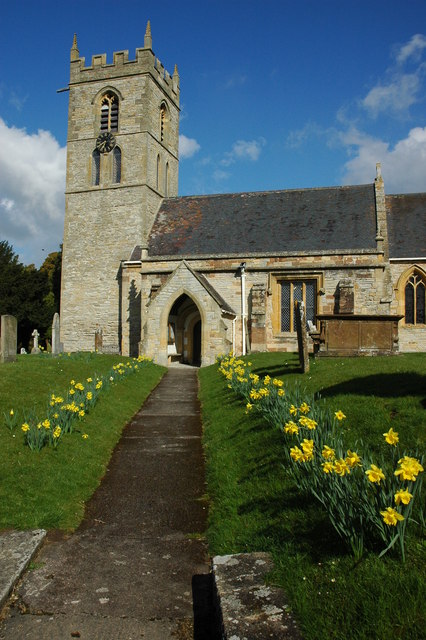
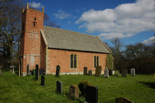
All Saints Church, Weston-on-Avon

All Saints Church is in the small village of Weston-on-Avon, Warwickshire, England. The church is recorded in the National Heritage List for England as...

Heart of England Forest

The Heart of England Forest is a charitable organisation in England, focussed on the conservation and restoration of native woodland in Warwickshire and...

Binton railway station

Binton railway station was a railway station serving the village of Binton in Warwickshire, England. Opened by the Evesham Redditch and Stratford-upon...

Dorsington

Dorsington is a village and civil parish in the Stratford-on-Avon district, in the county of Warwickshire, England. Dorsington was in Gloucestershire until...

Luddington, Warwickshire

Luddington is a small village and civil parish in the English county of Warwickshire and is part of Stratford-on-Avon district. The community is a conservation...

Milcote railway station

Milcote railway station was a station on the Great Western Railway line between Stratford-upon-Avon and Honeybourne, which in 1908 became part of the Great...

Nearby Amenities

Located within 500m of 52.158081,-1.7861861
Barrier: kissing_gate
Lat/Long: 52.1599778/-1.787732
Barrier: kissing_gate
Lat/Long: 52.1595108/-1.7907099
Barton Road Welford
Power: pole
Source: bing
Transformer: distribution
Voltage Primary: 11000
Lat/Long: 52.1619354/-1.784357
Power: pole
Source: bing
Lat/Long: 52.1616343/-1.7853253
Power: pole
Source: bing
Transformer: distribution
Voltage Primary: 11000
Lat/Long: 52.1615759/-1.7864075
Material: wood
Power: pole
Source: bing
Lat/Long: 52.1615068/-1.7874858
Power: pole
Source: bing
Lat/Long: 52.1614443/-1.7884836
Generator Method: photovoltaic
Generator Output Electricity: yes
Generator Source: solar
Generator Type: solar_photovoltaic_panel
Location: roof
Power: generator
Lat/Long: 52.1598071/-1.7914139
Generator Method: photovoltaic
Generator Output Electricity: yes
Generator Source: solar
Generator Type: solar_photovoltaic_panel
Location: roof
Power: generator
Lat/Long: 52.1623731/-1.7875233
Generator Method: photovoltaic
Generator Output Electricity: yes
Generator Source: solar
Generator Type: solar_photovoltaic_panel
Location: roof
Power: generator
Lat/Long: 52.1606537/-1.78372
Generator Method: photovoltaic
Generator Output Electricity: yes
Generator Source: solar
Generator Type: solar_photovoltaic_panel
Location: roof
Power: generator
Lat/Long: 52.1606002/-1.7828067
The data included in this document is from www.openstreetmap.org. The data is made available under ODbL.

Have you been to Ash Coppice?

Leave your review of Ash Coppice below (or comments, questions and feedback).