Low Park Plantation
Wood, Forest in Yorkshire Harrogate
England
Low Park Plantation

Low Park Plantation is a picturesque woodland area located in the heart of Yorkshire, England. It is a well-preserved forest known for its abundant natural beauty and diverse range of plant and animal species. The plantation covers a sprawling area of approximately 500 acres, making it a significant natural reserve in the region.
The woodland is predominantly composed of native broadleaf trees, such as oak, beech, and ash, which create a dense and lush canopy. This provides a favorable habitat for a wide array of wildlife, including various bird species, small mammals, and insects. The plantation is particularly known for its population of red squirrels, which are a rare sight in many parts of the country.
Low Park Plantation offers a tranquil and scenic environment for visitors to explore and enjoy. Several well-maintained walking trails wind their way through the woodland, allowing visitors to immerse themselves in its natural splendor. The trails are suitable for all levels of walkers, from casual strollers to avid hikers.
The plantation is also home to a variety of wildflowers and plants, which add bursts of color to the woodland throughout the year. Springtime sees the forest floor carpeted with bluebells, while summer brings a profusion of orchids and other delicate blooms.
Overall, Low Park Plantation is a haven for nature enthusiasts and those seeking a peaceful retreat amidst the beauty of Yorkshire's countryside. Its rich biodiversity and stunning scenery make it an ideal destination for both locals and tourists looking to connect with nature.
If you have any feedback on the listing, please let us know in the comments section below.
Low Park Plantation Images
Images are sourced within 2km of 53.926935/-1.777292 or Grid Reference SE1447. Thanks to Geograph Open Source API. All images are credited.


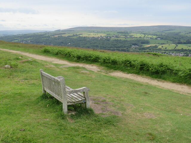


![View from Cow and Calf Rocks, Ilkley Moor Rombalds Moor covers about 90 sq.km. between Wharfedale and Airedale. The highest point is 402m above sea level (grid ref for this shared description). Parts of it also have local names referring to the nearest town, e.g. Hawksworth, Burley, Ilkley, Bingley and Morton Moors.
The moor is particularly rich in remains of prehistoric activity. The most numerous relics are the rock carvings which can be found on many of the boulders and outcrops scattered across the moor. Burial monuments stone circles and a range of enclosed settlements are also known. [source: Historic England, overall description covering several ancient monument sites]
There are several small reservoirs, originally built by local authorities, that collect water from the moors. The Rombalds Water Board was taken over by the Yorkshire Water Authority in 1973.](https://s1.geograph.org.uk/geophotos/07/12/97/7129737_e8acc74c.jpg)
![Path and car park, Cow and Calf Rocks, Ilkley Moor Rombalds Moor covers about 90 sq.km. between Wharfedale and Airedale. The highest point is 402m above sea level (grid ref for this shared description). Parts of it also have local names referring to the nearest town, e.g. Hawksworth, Burley, Ilkley, Bingley and Morton Moors.
The moor is particularly rich in remains of prehistoric activity. The most numerous relics are the rock carvings which can be found on many of the boulders and outcrops scattered across the moor. Burial monuments stone circles and a range of enclosed settlements are also known. [source: Historic England, overall description covering several ancient monument sites]
There are several small reservoirs, originally built by local authorities, that collect water from the moors. The Rombalds Water Board was taken over by the Yorkshire Water Authority in 1973.](https://s0.geograph.org.uk/geophotos/07/12/97/7129740_fc11eacf.jpg)
!["NO BBQs OR FIRES" sign, Cow and Calf Rocks, Ilkley Moor Rombalds Moor covers about 90 sq.km. between Wharfedale and Airedale. The highest point is 402m above sea level (grid ref for this shared description). Parts of it also have local names referring to the nearest town, e.g. Hawksworth, Burley, Ilkley, Bingley and Morton Moors.
The moor is particularly rich in remains of prehistoric activity. The most numerous relics are the rock carvings which can be found on many of the boulders and outcrops scattered across the moor. Burial monuments stone circles and a range of enclosed settlements are also known. [source: Historic England, overall description covering several ancient monument sites]
There are several small reservoirs, originally built by local authorities, that collect water from the moors. The Rombalds Water Board was taken over by the Yorkshire Water Authority in 1973.](https://s3.geograph.org.uk/geophotos/07/12/97/7129751_23af36b8.jpg)


Low Park Plantation is located at Grid Ref: SE1447 (Lat: 53.926935, Lng: -1.777292)
Division: West Riding
Administrative County: North Yorkshire
District: Harrogate
Police Authority: North Yorkshire
What 3 Words
///chosen.cultivation.massing. Near Burley in Wharfedale, West Yorkshire
Nearby Locations
Related Wikis

Ilkley Town A.F.C.
Ilkley Town Association Football Club is a football club based in Ilkley, England. They are currently members of the North West Counties League Division...

Denton Hall, Wharfedale
Denton Hall is an English country house located to the north of the River Wharfe, at Denton, Borough of Harrogate, North Yorkshire, England between Otley...
Yorkshire Heritage Way
The Yorkshire Heritage Way is a 42-mile (68 km) footpath in northern England. It links the contrasting cities of Bradford in West Yorkshire and Ripon in...
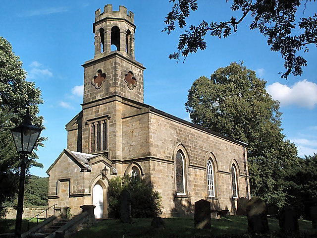
Church of St Helen, Denton
The Church of St Helen, Denton is a parish church in the hamlet of Denton, near Otley, in North Yorkshire, England. The church was built in 1776 by the...

Denton, North Yorkshire
Denton is a hamlet and civil parish in the Harrogate district of North Yorkshire, England. At the 2011 Census the population of this civil parish was less...

Ben Rhydding railway station
Ben Rhydding railway station serves the Ben Rhydding area of Ilkley, West Yorkshire; it is situated about a mile east of the town centre. On the Wharfedale...

Ben Rhydding Hydro
Ben Rhydding Hydro, opened as the Wharfedale Hydropathic Establishment and Ben Rhydding Hotel and later rebranded as the Ben Rhydding Golf Hotel was a...
Ben Rhydding
Ben Rhydding is a village in the City of Bradford, West Yorkshire, England. It is part of the Ilkley urban area and civil parish. The village is situated...
Related Videos
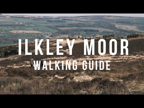
Ilkley Moor, Yorkshire Walking Guide (12 Apostles / Cow & Calf Circular Route), English Countryside
A step-by-step guide to one of the many popular walking routes on Ilkley Moor, covering the 12 Apostles stone circle, the Cow and ...
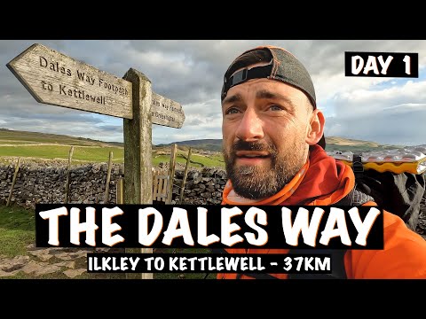
A start of a new adventure: Hiking the Dales Way - Day 1
The Dales Way - 81 Miles from Ilkley to Bowness-on-windermere. Join me on a challenging and beautiful hike along the Dales ...

The Dales Way - walking it in 5 days
Some videos and photos of Pete and Steve walking between Ilkley and Bowness on Windermere. We did the 80 miles over 5 days ...
Nearby Amenities
Located within 500m of 53.926935,-1.777292Have you been to Low Park Plantation?
Leave your review of Low Park Plantation below (or comments, questions and feedback).