Fishpond Plantation

Wood, Forest in Derbyshire Derbyshire Dales

England

Fishpond Plantation

The start of a footpath to Alstonefield A narrow flight of steps leads off a narrow back lane at the start of a footpath, which climbs steeply out of Milldale towards Alstonefield.
The start of a footpath to Alstonefield Credit: Ian Calderwood

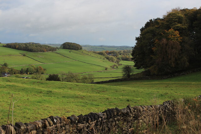
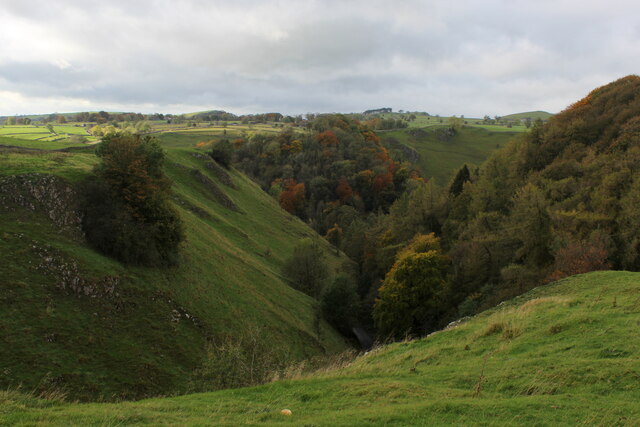
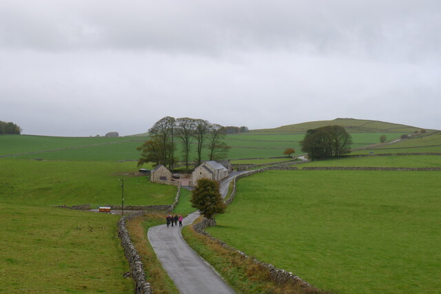
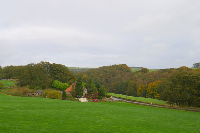
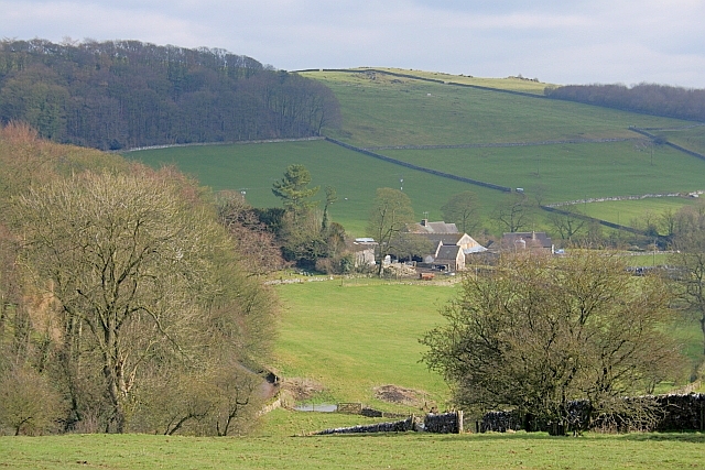
Fishpond Plantation is a picturesque woodland located in Derbyshire, England. Covering an area of approximately 50 acres, it is a prime example of a well-preserved forest ecosystem in the region. The plantation is situated near the village of Fishpond, which lends its name to this natural gem.

The woodland at Fishpond Plantation is predominantly composed of deciduous trees, such as oak, beech, and ash. These majestic specimens create a dense canopy that provides shelter and habitat for a diverse range of flora and fauna. The forest floor is adorned with a rich tapestry of wildflowers, including bluebells, primroses, and wood anemones, which bloom in vibrant colors during the spring months.

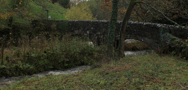
A notable feature of Fishpond Plantation is the presence of a small pond, from which the woodland derives its name. This water body acts as a vital watering hole for various wildlife species, attracting birds, small mammals, and amphibians. The pond is also home to a variety of fish, adding to the overall biodiversity of the area.

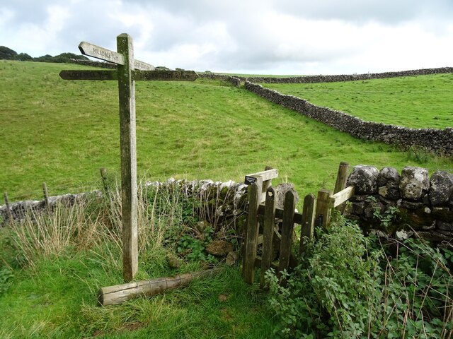
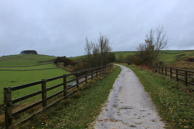
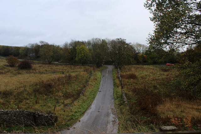
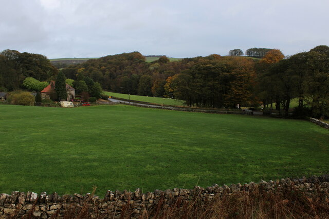
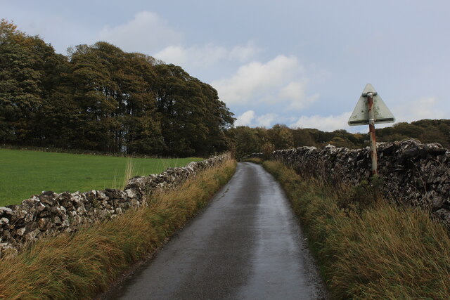
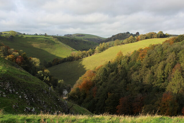
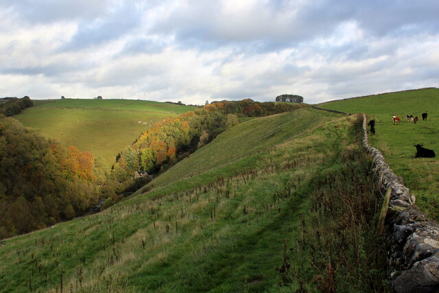
The plantation is a popular destination for nature enthusiasts, hikers, and birdwatchers. The well-maintained footpaths and trails allow visitors to explore the woodland at their own pace, immersing themselves in the tranquility of nature. The surrounding countryside offers stunning views, with rolling hills and meandering streams adding to the charm of the landscape.

Fishpond Plantation serves as an important habitat for a range of species, providing a sanctuary for wildlife and contributing to the overall conservation efforts in Derbyshire. It is a testament to the beauty and ecological significance of woodlands in the region.

If you have any feedback on the listing, please let us know in the comments section below.

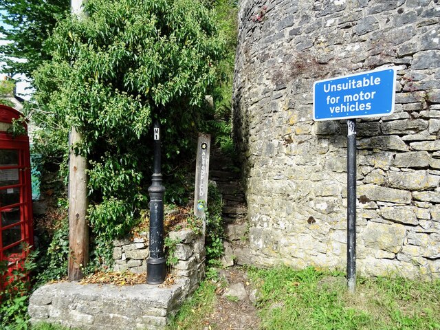
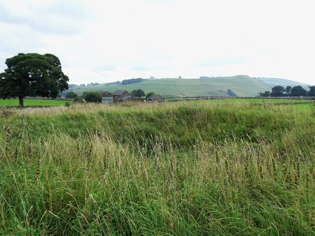
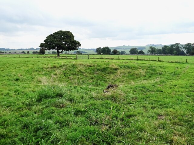
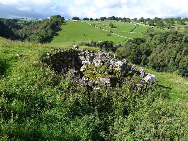
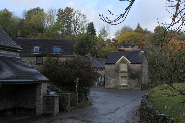
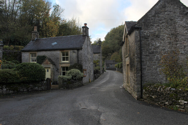
Fishpond Plantation Images

Images are sourced within 2km of 53.095723/-1.7819012 or Grid Reference SK1455. Thanks to Geograph Open Source API. All images are credited.

The start of a footpath to Alstonefield A narrow flight of steps leads off a narrow back lane at the start of a footpath, which climbs steeply out of Milldale towards Alstonefield.
The start of a footpath to Alstonefield
A narrow flight of steps leads off a narrow back lane at the start of a footpath, which climbs steeply out of Milldale towards Alstonefield.
Old dew pond by Millway Lane A neglected dew pond sits dry, neglected and overgrown at the edge of Alstonefield.
Old dew pond by Millway Lane
A neglected dew pond sits dry, neglected and overgrown at the edge of Alstonefield.
Old dew pond by Gratton Lane An old dew pond sits dry and neglected in a field by Gratton Lane.
Old dew pond by Gratton Lane
An old dew pond sits dry and neglected in a field by Gratton Lane.
A ruin above Mill Dale The remains of some kind of small building, pen or fold, marked on old OS maps as a plain, unlabelled rectangle.
A ruin above Mill Dale
The remains of some kind of small building, pen or fold, marked on old OS maps as a plain, unlabelled rectangle.
Footpath crossroads According to the finger post, this is where the footpath from Milldale to Alsop Station crosses the footpath from Lode Mill to Tissington.
Footpath crossroads
According to the finger post, this is where the footpath from Milldale to Alsop Station crosses the footpath from Lode Mill to Tissington.
Tissington Trail crossing Liffs Road The former railway heading north towards Johnson's Knoll - topped by a stand of trees.
Tissington Trail crossing Liffs Road
The former railway heading north towards Johnson's Knoll - topped by a stand of trees.
Liffs Road approaching the A515 As seen from the former railway bridge that carries the Tissington Trail across Liffs Road
Liffs Road approaching the A515
As seen from the former railway bridge that carries the Tissington Trail across Liffs Road
Looking towards Greenlowfield and the A515 As seen from the Tissington Trail, slightly to the north of the former Alsop station.
Looking towards Greenlowfield and the A515
As seen from the Tissington Trail, slightly to the north of the former Alsop station.
Countryside near Alsop en le Dale As seen from the Tissington Trail beside Stonepit Plantation
Countryside near Alsop en le Dale
As seen from the Tissington Trail beside Stonepit Plantation
Oxclose Lane Climbing out of the trench of Dovedale towards the A515
Oxclose Lane
Climbing out of the trench of Dovedale towards the A515
View from Above Shining Tor Overlooks the deep trench that is Dovedale
View from Above Shining Tor
Overlooks the deep trench that is Dovedale
Footpath High above Milldale The public footpath follows the wall, with ground falling away sharply to the left towards Milldale
Footpath High above Milldale
The public footpath follows the wall, with ground falling away sharply to the left towards Milldale
Looking over Mill Dale
Milldale (1) Small village comprising several stone buildings, squeezed deep in the narrow valley of Dovedale - so narrow that sunshine finds difficulty in reaching the community.
Milldale (1)
Small village comprising several stone buildings, squeezed deep in the narrow valley of Dovedale - so narrow that sunshine finds difficulty in reaching the community.
Milldale (2) Delightful small village squeezed tightly between the valley sides of Dovedale - so tightly, that sunshine is at a premium.
A popular walk stretches south from here, running beside the River Dove to the stepping stones near Thorpe.
Milldale (2)
Delightful small village squeezed tightly between the valley sides of Dovedale - so tightly, that sunshine is at a premium. A popular walk stretches south from here, running beside the River Dove to the stepping stones near Thorpe.
Viator's Bridge Ancient packhorse bridge, which has been in use since medieval times. Izaak Walton wrote about this bridge in "The Compleat Angler" - referring to himself as Viator (Latin for traveller), which accounts for the structure's name.
Viator's Bridge
Ancient packhorse bridge, which has been in use since medieval times. Izaak Walton wrote about this bridge in "The Compleat Angler" - referring to himself as Viator (Latin for traveller), which accounts for the structure's name.
Walkers on the road past Lees Barn The group was on its way to join the Tissington Trail
Walkers on the road past Lees Barn
The group was on its way to join the Tissington Trail
Greenlowfield from the Tissington Trail Semi-detached cottages on the A515
Greenlowfield from the Tissington Trail
Semi-detached cottages on the A515
Show me another place!

Fishpond Plantation is located at Grid Ref: SK1455 (Lat: 53.095723, Lng: -1.7819012)

Administrative County: Derbyshire

District: Derbyshire Dales

Police Authority: Derbyshire

What 3 Words

///aviators.landed.avocado. Near Newhaven, Derbyshire

Related Wikis

Tissington Trail

The Tissington Trail is a bridleway, footpath and cycleway in Derbyshire, England, along part of the trackbed of the former railway line connecting Ashbourne...

Alsop en le Dale railway station

Alsop en le Dale railway station was opened in 1899 near Alsop en le Dale and Alstonefield, villages in Derbyshire southeast of Buxton. It was on the...

Eaton and Alsop

Eaton and Alsop is a civil parish within the Derbyshire Dales district, in the county of Derbyshire, England. Largely rural, Along with the adjacent Newton...

St Michael and All Angels' Church, Alsop-en-le-Dale

St Michael and all Angels' Church, Alsop en le Dale is a Grade II listed parish church in the Church of England in Alsop en le Dale, Derbyshire. ��2�...

Alsop en le Dale

Alsop en le Dale is a village in Derbyshire, England about 5 miles (8.0 km) north of Ashbourne close to the Staffordshire border, and a mile from Dovedale...

St Peter's Church, Alstonefield

The Church of St Peter in Alstonefield, Staffordshire Moorlands, England is a grade I listed Anglican parish church. The oldest parts are 12th century...

Alstonefield

Alstonefield (alternative spelling: Alstonfield) is a village and civil parish in the Peak District National Park and the Staffordshire Moorlands district...

Newton Grange, Derbyshire

Newton Grange is a civil parish in the Derbyshire Dales district of central Derbyshire. For administrative purposes it shares a parish council with the...

Nearby Amenities

Located within 500m of 53.095723,-1.7819012
Barrier: stile
Lat/Long: 53.0951205/-1.7849563
Barrier: stile
Material: stone
Source: survey;gps
Stile: squeezer
Lat/Long: 53.0933912/-1.782817
Bus Stop
Lode Mill
Bus: yes
Naptan AtcoCode: 3800C891100
Naptan Bearing: E
Naptan CommonName: Lode Mill
Naptan Indicator: Adj
Naptan Landmark: Lode Mill
Naptan Street: Lode Ln
Naptan Verified: no
Public Transport: platform
Source: naptan_import
Lat/Long: 53.0929141/-1.7843093
Waterway: weir
Lat/Long: 53.0970983/-1.7831602
Waterway: weir
Lat/Long: 53.0976212/-1.7838571
Waterway: weir
Lat/Long: 53.0979183/-1.7843987
Barrier: entrance
Source: survey;gps
Lat/Long: 53.0926966/-1.7833566
Barrier: stile
Material: stone
Source: survey;gps
Stile: squeezer
Lat/Long: 53.0934245/-1.7792756
Barrier: stile
Material: wood
Source: survey;gps
Stile: stepover
Lat/Long: 53.0936398/-1.7781267
Barrier: stile
Material: stone
Source: survey;gps
Stile: squeezer
Lat/Long: 53.0946518/-1.7749764
Barrier: stile
Lat/Long: 53.0964274/-1.7823257
Waterway: weir
Lat/Long: 53.0994914/-1.7859473
Waterway: weir
Lat/Long: 53.0992053/-1.785517
The data included in this document is from www.openstreetmap.org. The data is made available under ODbL.

Have you been to Fishpond Plantation?

Leave your review of Fishpond Plantation below (or comments, questions and feedback).