Dingle Strip
Wood, Forest in Gloucestershire Cotswold
England
Dingle Strip

Dingle Strip is a picturesque woodland area located in Gloucestershire, England. Situated in the heart of the Forest of Dean, it spans across a vast area of ancient woodland that is known for its diverse flora and fauna.
The woodland is characterized by its thick canopies of towering oak and beech trees, which provide a habitat for a variety of wildlife. Visitors to Dingle Strip can expect to encounter a range of bird species, including woodpeckers and owls, as well as small mammals like foxes, badgers, and deer.
The forest floor is adorned with a carpet of wildflowers during the spring and summer months, creating a vibrant and colorful display. Bluebells, primroses, and violets are just a few of the species that bloom in abundance, attracting numerous butterflies and bees.
Dingle Strip is a popular destination for nature enthusiasts and walkers, offering an extensive network of well-maintained trails that meander through the woodland. These trails cater to different difficulty levels, allowing visitors of all ages and fitness levels to explore the beauty of the forest.
The woodland also holds historical significance, with remnants of old iron mines and quarries that provide insight into the region's industrial past. Interpretive signs along the trails offer information on the history and ecology of the area, enhancing the overall visitor experience.
Overall, Dingle Strip in Gloucestershire is a haven for nature lovers, offering a tranquil escape into the heart of the Forest of Dean's natural beauty.
If you have any feedback on the listing, please let us know in the comments section below.
Dingle Strip Images
Images are sourced within 2km of 52.068799/-1.7873854 or Grid Reference SP1441. Thanks to Geograph Open Source API. All images are credited.


Dingle Strip is located at Grid Ref: SP1441 (Lat: 52.068799, Lng: -1.7873854)
Administrative County: Gloucestershire
District: Cotswold
Police Authority: Gloucestershire
What 3 Words
///narrowest.gladiators.steams. Near Chipping Campden, Gloucestershire
Nearby Locations
Related Wikis
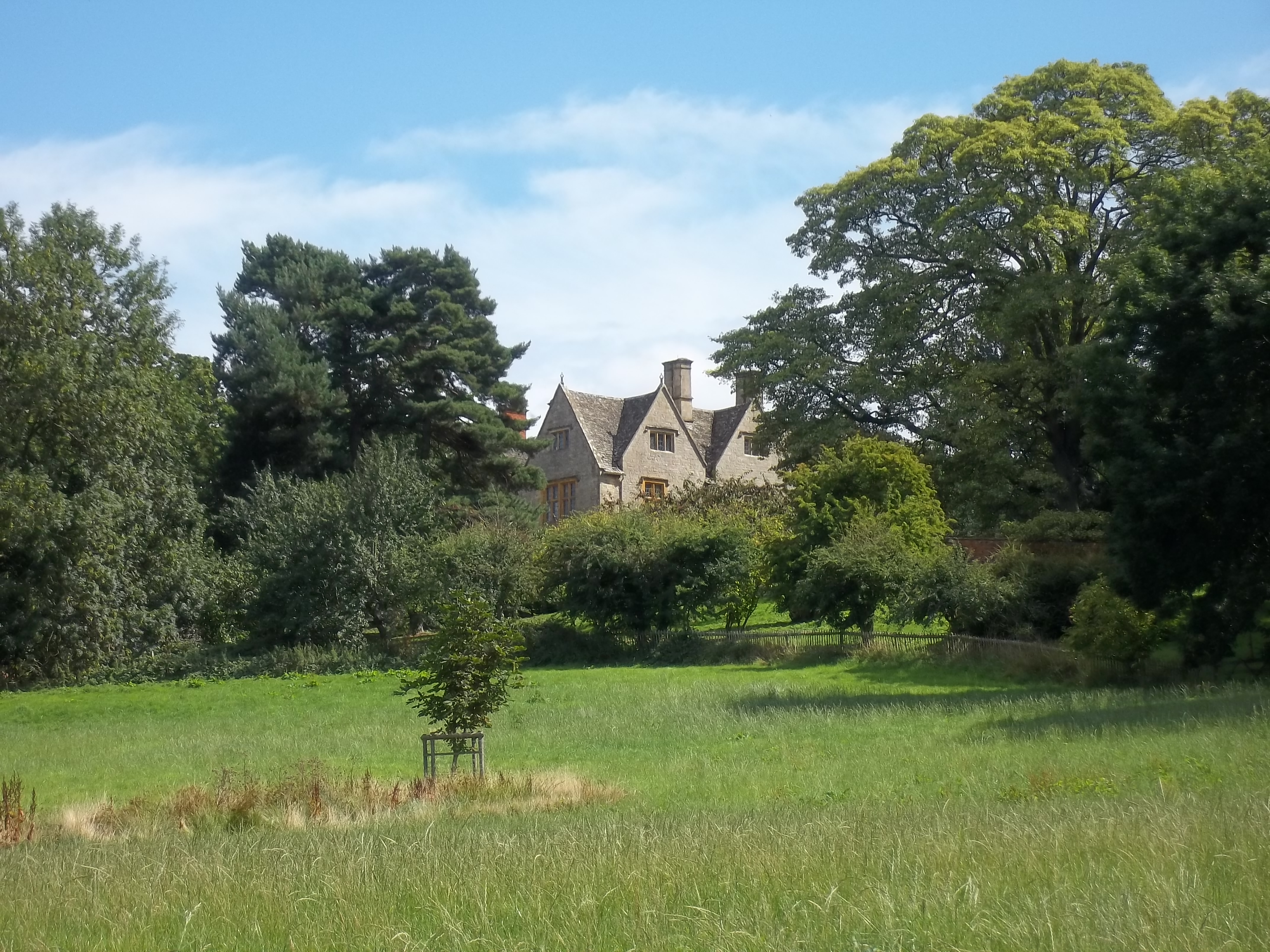
Burnt Norton (house)
Burnt Norton is a manor house in Aston-sub-Edge, near Chipping Campden, Gloucestershire, best known for being the inspiration for T. S. Eliot's poem of...
Aston-sub-Edge
Aston Subedge (also written Aston-sub-Edge) is a village and civil parish in the Cotswold district of Gloucestershire, England, close by the border with...

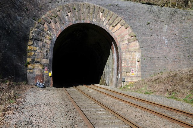
Mickleton Halt railway station
Mickleton Halt was a railway station on the Great Western Railway line between Oxford and Worcester Shrub Hill to serve Mickleton and the surrounding villages...

Campden Tunnel Gravel Pit
Campden Tunnel Gravel Pit (grid reference SP161408) is a 0.2-hectare (0.49-acre) geological Site of Special Scientific Interest in Gloucestershire, notified...
Chipping Campden School
Chipping Campden School is a non-selective secondary school and sixth form with academy status located in Chipping Campden, in the English county of Gloucestershire...
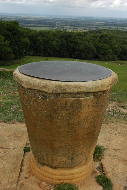
Dover's Hill
Dover's Hill is a 754 feet (230 metres) hill in the Cotswolds area of central England. The hill is 1 mile (1.6 km) north-west of Chipping Campden in Gloucestershire...

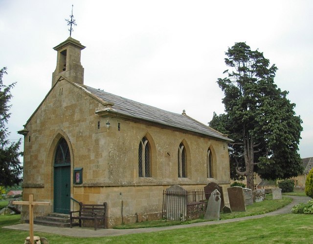
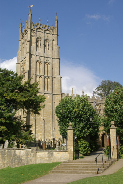
Church of St James, Chipping Campden
The Anglican Church of St James at Chipping Campden in the Cotswold District of Gloucestershire, England was built in the 15th century incorporating an...
Chipping Campden
Chipping Campden is a market town in the Cotswold district of Gloucestershire, England. It is notable for its terraced High Street, dating from the 14th...
Nearby Amenities
Located within 500m of 52.068799,-1.7873854Have you been to Dingle Strip?
Leave your review of Dingle Strip below (or comments, questions and feedback).