Cymau
Settlement in Flintshire
Wales
Cymau
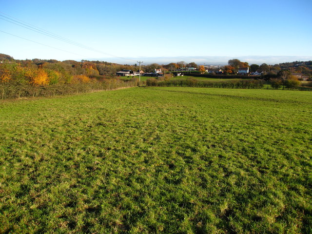
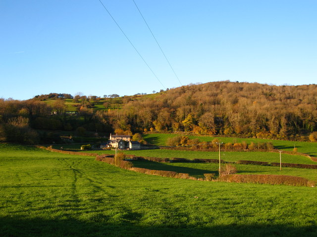
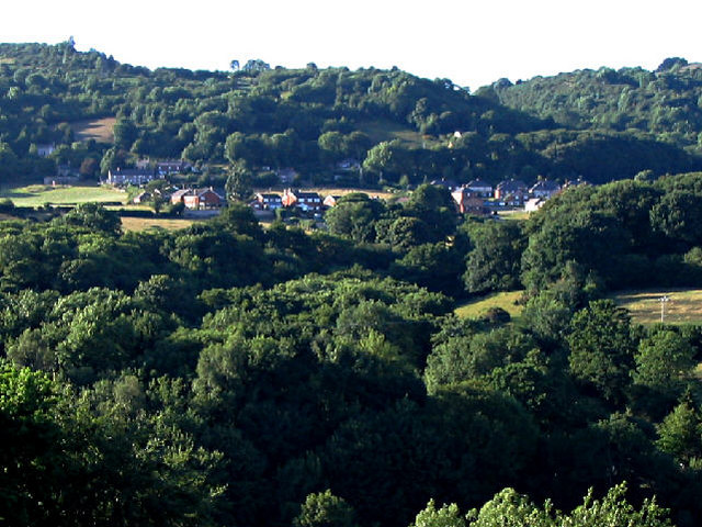
Cymau is a small village located in the county of Flintshire, in the northeastern part of Wales, United Kingdom. Situated about 8 miles south of the town of Wrexham, Cymau is nestled in a rural setting surrounded by rolling hills and farmlands.
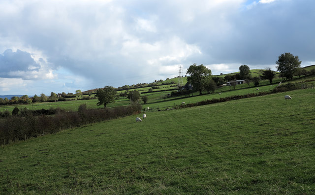
The village has a population of approximately 500 residents and offers a tranquil and close-knit community atmosphere. Cymau is known for its picturesque landscapes, providing ample opportunities for outdoor activities such as hiking, cycling, and horse riding.
The village features a few amenities, including a local pub, which serves as a hub for social gatherings within the community. The nearby towns of Wrexham and Mold offer more extensive options for shopping, dining, and entertainment.
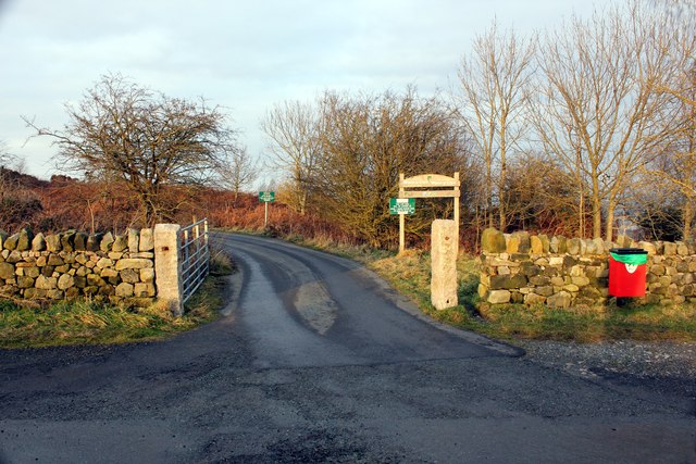
Cymau benefits from its proximity to major road networks, making it easily accessible to nearby urban areas. The A541 road runs through the village, connecting it to Wrexham and Mold, while the A483 provides convenient access to the wider region.
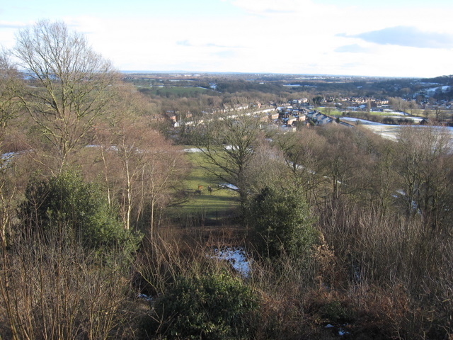
The area surrounding Cymau is rich in history and natural beauty. Within a short distance, visitors can explore attractions such as Loggerheads Country Park, renowned for its stunning cliffs and woodland walks. Additionally, the historic city of Chester is within easy reach, offering a range of cultural and historical sites.
Overall, Cymau provides a peaceful and idyllic location for those seeking a rural retreat while remaining well-connected to nearby towns and cities.
If you have any feedback on the listing, please let us know in the comments section below.
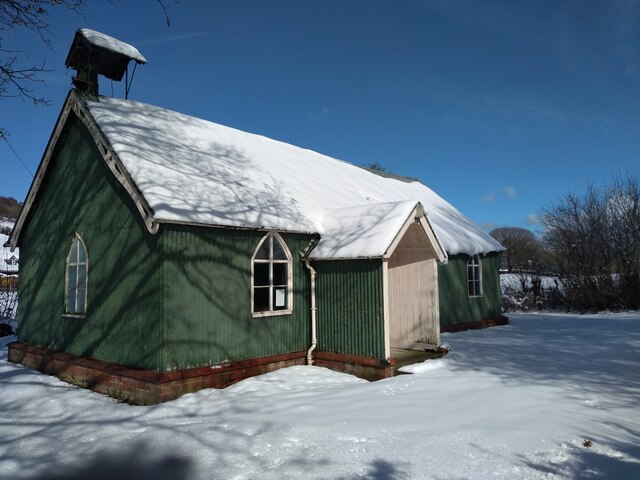
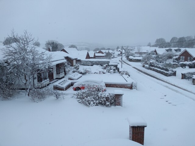
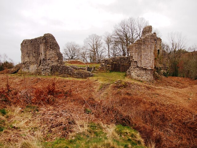
Cymau Images
Images are sourced within 2km of 53.09589/-3.053563 or Grid Reference SJ2955. Thanks to Geograph Open Source API. All images are credited.


Cymau is located at Grid Ref: SJ2955 (Lat: 53.09589, Lng: -3.053563)
Unitary Authority: Flintshire
Police Authority: North Wales
What 3 Words
///dabbling.relaxing.pizzas. Near Caergwrle, Flintshire
Nearby Locations
Related Wikis
Cymau
Cymau is a small village situated in the community of Llanfynydd, Flintshire on the edge of the mountains of north-east Wales. Its name is the Welsh word...
Ffrith
Ffrith is a small village in the community of Llanfynydd in Flintshire, north-east Wales. == Name == The name Ffrith (the Welsh double "f" is pronounced...

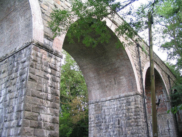
Ffrith railway station
Ffrith railway station was a station in Ffrith, Flintshire, Wales. The station was opened on 2 May 1898 and closed on 27 March 1950. == References... ==
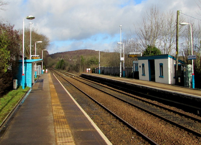
Cefn-y-Bedd railway station
Cefn-y-bedd railway station serves the village of Cefn-y-bedd in Flintshire, Wales. The station is 4 miles (6 km) north of Wrexham Central on the Borderlands...

Cefn-y-bedd
Cefn-y-bedd () is a village in Flintshire, north-east Wales. The name translates into English as "the ridge of the grave", in reference to an old tumulus...
Abermorddu
Abermorddu () is a village in the county of Flintshire, Wales, in the community of Hope. Approximately 5 miles north of Wrexham along the A541 road, it...
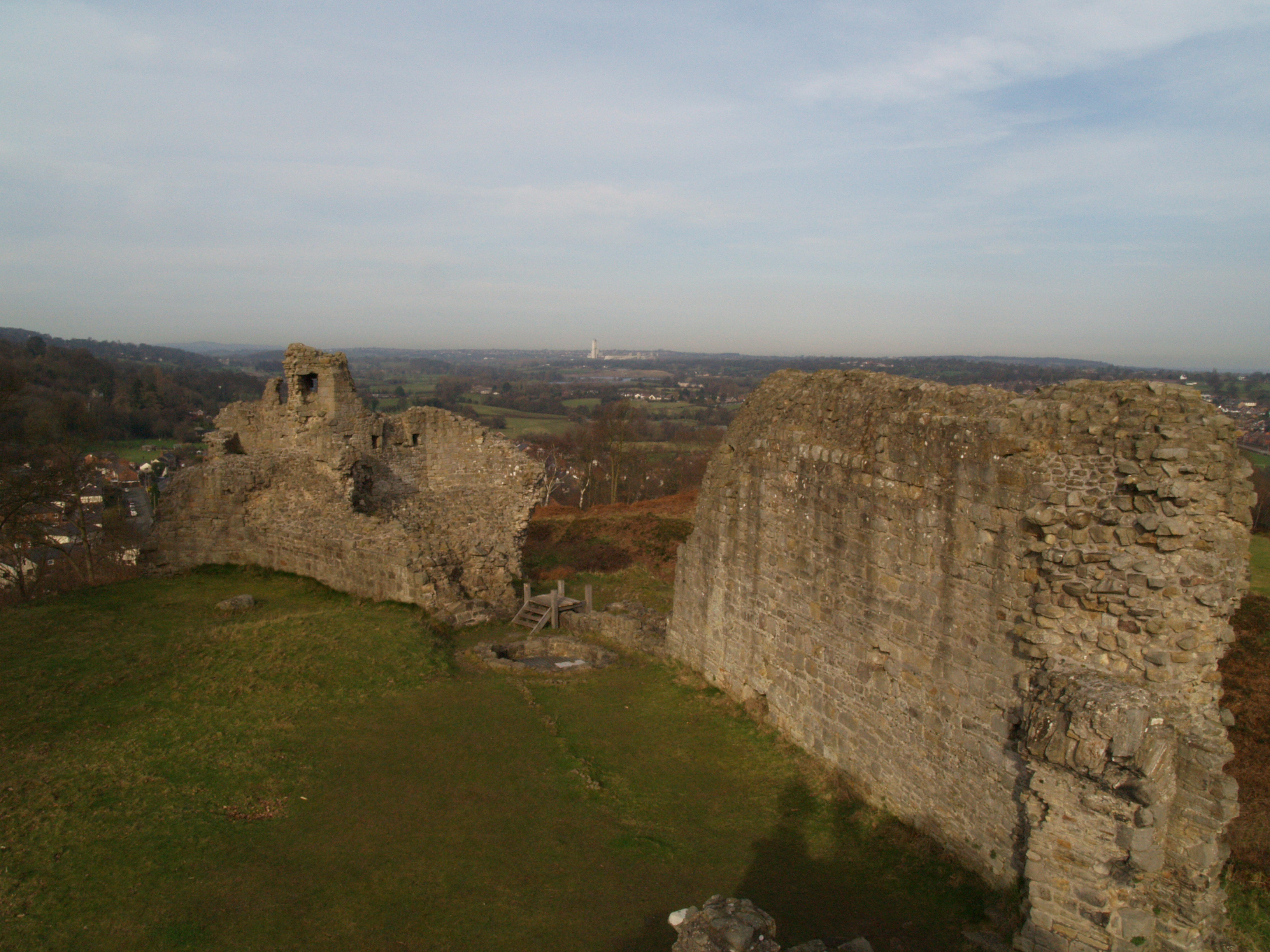
Caergwrle Castle
Caergwrle Castle (Welsh: Castell Caergwrle), also known as Queen's Hope in scholarly texts, is located in the town of Caergwrle, in Flintshire, Wales....

Llanfynydd railway station
Llanfynydd railway station was a station in Llanfynydd, Flintshire, Wales. The station was opened on 2 May 1898, closed to passengers on 27 March 1950...
Nearby Amenities
Located within 500m of 53.09589,-3.053563Have you been to Cymau?
Leave your review of Cymau below (or comments, questions and feedback).