Sawmill Plantation
Wood, Forest in Yorkshire Harrogate
England
Sawmill Plantation
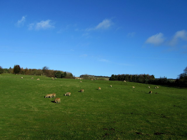
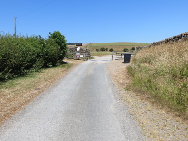
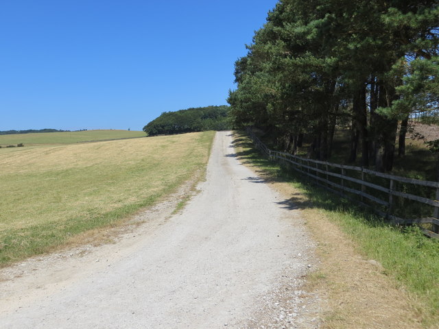
Sawmill Plantation is a picturesque woodland area located in the heart of Yorkshire, England. Spanning over several acres, this enchanting plantation is known for its dense forest and thriving ecosystem. The plantation is primarily composed of a variety of wood species, including oak, ash, beech, and pine, which contribute to its rich biodiversity.
The plantation's dense canopy provides a sheltered habitat for numerous species of wildlife, such as deer, foxes, and various bird species. The vibrant birdlife includes woodpeckers, owls, and songbirds, filling the air with their melodic calls. Additionally, the plantation is home to a diverse range of plant species, including bluebells, ferns, and mosses, which add to its natural beauty.
Visitors to Sawmill Plantation can enjoy a network of well-maintained walking trails that wind through the woodland, allowing for exploration and immersion in nature. The paths are lined with informative signposts, providing educational insights into the local flora and fauna. The plantation also offers designated picnic areas, where visitors can relax and enjoy a meal amidst the serene surroundings.
Sawmill Plantation is not only a haven for wildlife enthusiasts and nature lovers but also plays a crucial role in sustainable forestry practices. The plantation operates a small sawmill, where timber from the woodland is harvested and processed responsibly. The timber is utilized for a range of purposes, including construction, furniture making, and firewood production, contributing to the local economy.
Overall, Sawmill Plantation is a captivating woodland retreat that offers a harmonious blend of natural beauty, recreational opportunities, and sustainable forestry practices. It serves as a testament to the importance of preserving and appreciating the natural wonders of Yorkshire's woodlands.
If you have any feedback on the listing, please let us know in the comments section below.
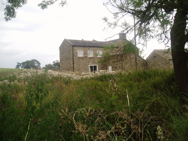
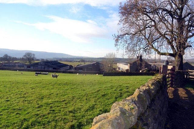
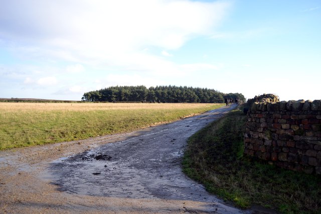
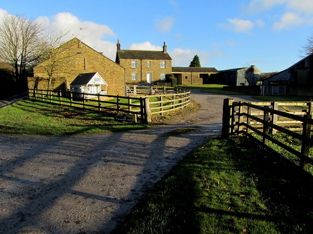
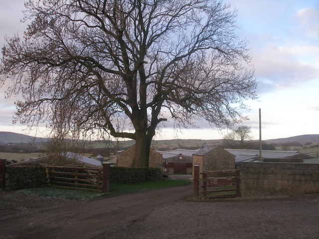
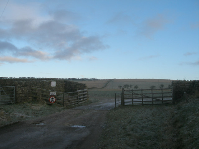
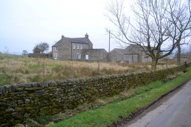
Sawmill Plantation Images
Images are sourced within 2km of 53.932216/-1.7799597 or Grid Reference SE1448. Thanks to Geograph Open Source API. All images are credited.


Sawmill Plantation is located at Grid Ref: SE1448 (Lat: 53.932216, Lng: -1.7799597)
Division: West Riding
Administrative County: North Yorkshire
District: Harrogate
Police Authority: North Yorkshire
What 3 Words
///develop.immediate.animate. Near Burley in Wharfedale, West Yorkshire
Nearby Locations
Related Wikis

Denton Hall, Wharfedale
Denton Hall is an English country house located to the north of the River Wharfe, at Denton, Borough of Harrogate, North Yorkshire, England between Otley...
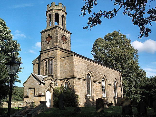
Church of St Helen, Denton
The Church of St Helen, Denton is a parish church in the hamlet of Denton, near Otley, in North Yorkshire, England. The church was built in 1776 by the...

Denton, North Yorkshire
Denton is a hamlet and civil parish in the Harrogate district of North Yorkshire, England. At the 2011 Census the population of this civil parish was less...

Ilkley Town A.F.C.
Ilkley Town Association Football Club is a football club based in Ilkley, England. They are currently members of the North West Counties League Division...
Yorkshire Heritage Way
The Yorkshire Heritage Way is a 42-mile (68 km) footpath in northern England. It links the contrasting cities of Bradford in West Yorkshire and Ripon in...

Ben Rhydding railway station
Ben Rhydding railway station serves the Ben Rhydding area of Ilkley, West Yorkshire; it is situated about a mile east of the town centre. On the Wharfedale...

Ben Rhydding
Ben Rhydding is a village in the City of Bradford, West Yorkshire, England. It is part of the Ilkley urban area and civil parish. The village is situated...
Ben Rhydding Hydro
Ben Rhydding Hydro, opened as the Wharfedale Hydropathic Establishment and Ben Rhydding Hotel and later rebranded as the Ben Rhydding Golf Hotel was a...
Nearby Amenities
Located within 500m of 53.932216,-1.7799597Have you been to Sawmill Plantation?
Leave your review of Sawmill Plantation below (or comments, questions and feedback).