Ratchwood Plantation

Wood, Forest in Northumberland

England

Ratchwood Plantation

Minor Road to Twizell North Lodge Minor road meeting the A1 just to the south of Adderstone Holiday Park.

The lodge, Twizell North Lodge, dates from the mid/late nineteenth century. It is a grade II listed building (List Entry Number:1206319 <span class="nowrap"><a title="https://historicengland.org.uk/listing/the-list/list-entry/1206319" rel="nofollow ugc noopener" href="https://historicengland.org.uk/listing/the-list/list-entry/1206319">Link</a><img style="margin-left:2px;" alt="External link" title="External link - shift click to open in new window" src="https://s1.geograph.org.uk/img/external.png" width="10" height="10"/></span> Historic England).
Minor Road to Twizell North Lodge Credit: David Dixon

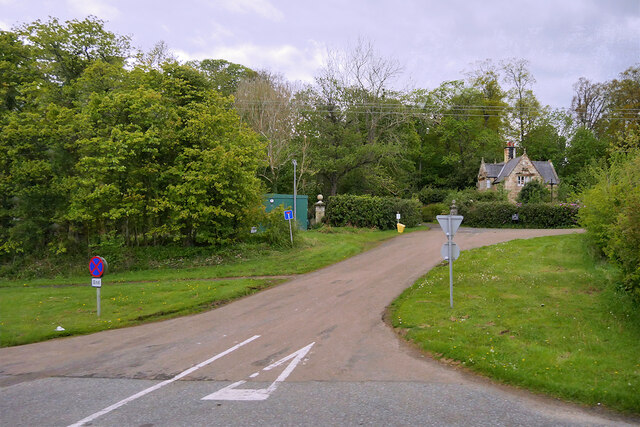
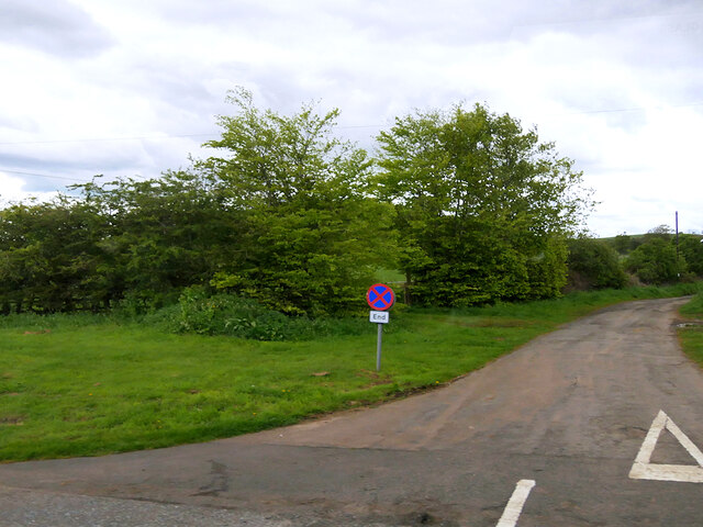
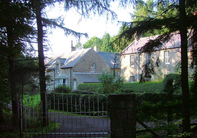
Ratchwood Plantation is a picturesque woodland located in the county of Northumberland, England. Situated near the charming village of Ratchwood, this plantation spans over 100 acres and is known for its abundant variety of trees and natural beauty.

The woodland consists primarily of deciduous trees, including oak, beech, and ash, which create a vibrant and colorful canopy during the autumn months. The forest floor is carpeted with a rich diversity of wildflowers, ferns, and mosses, adding to the enchanting atmosphere of the area.

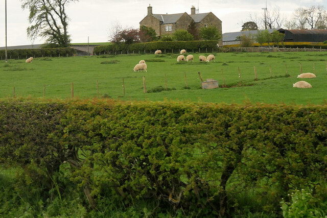
Ratchwood Plantation is a haven for wildlife, providing a natural habitat for numerous species. The dense foliage and ample food sources attract a variety of birds, including woodpeckers, owls, and songbirds. Mammals such as deer, foxes, and squirrels can also be spotted within the woodland.

The plantation offers several well-maintained trails that wind through the forest, allowing visitors to immerse themselves in nature and explore the area. These paths are suitable for both leisurely strolls and more challenging hikes, providing options for all levels of fitness and interests.

Ratchwood Plantation is a popular destination for outdoor enthusiasts, offering opportunities for birdwatching, photography, and nature study. Its idyllic setting and peaceful ambiance make it a perfect place for relaxation and rejuvenation amidst the beauty of Northumberland's countryside.

Overall, Ratchwood Plantation is a stunning woodland that showcases the natural splendor of Northumberland. Its diverse flora and fauna, along with its well-maintained trails, make it an ideal location for nature lovers and those seeking tranquility in an enchanting woodland setting.

If you have any feedback on the listing, please let us know in the comments section below.

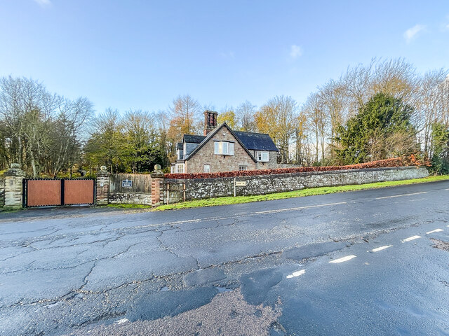
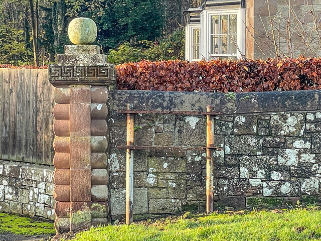
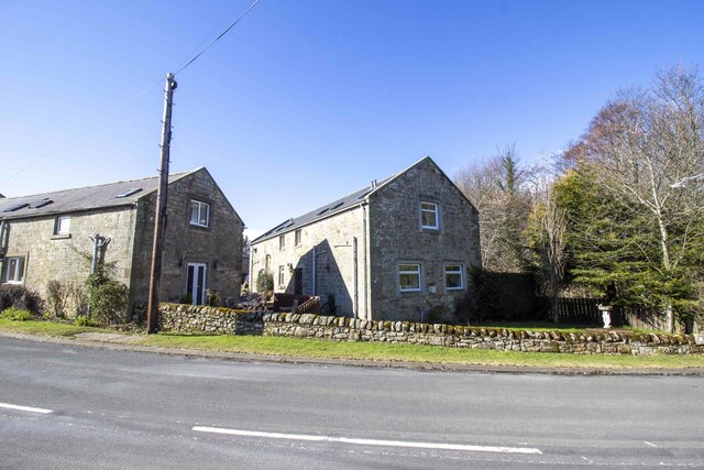
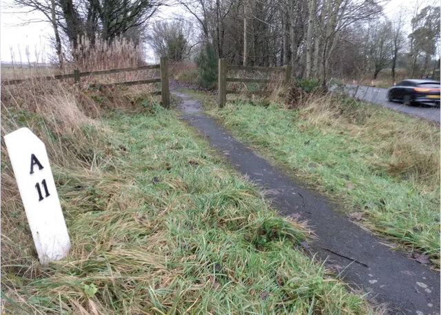
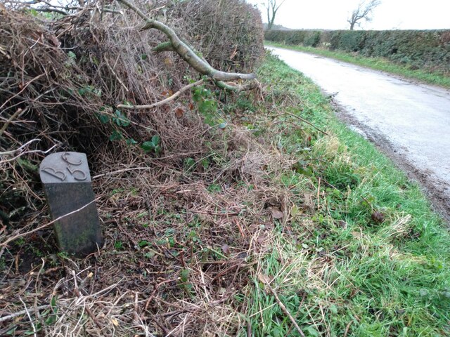
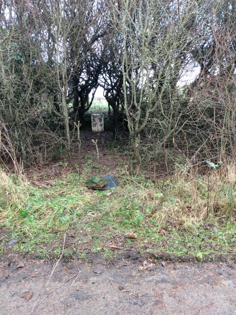
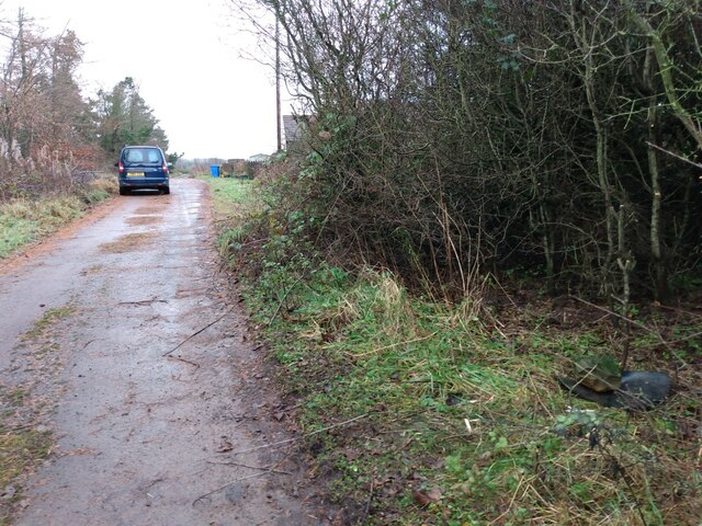
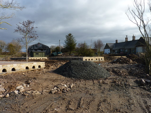
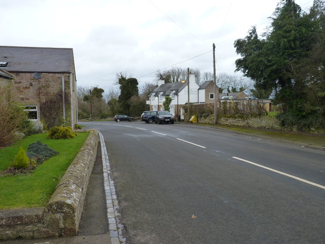
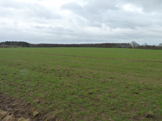
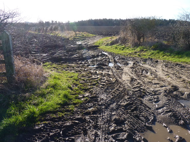
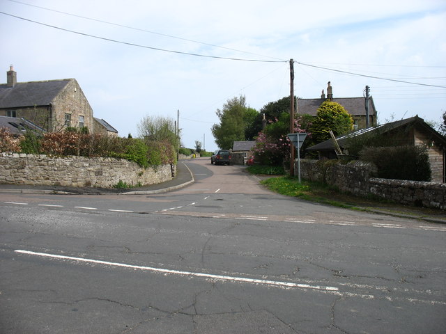
Ratchwood Plantation Images

Images are sourced within 2km of 55.554157/-1.7712682 or Grid Reference NU1428. Thanks to Geograph Open Source API. All images are credited.

Minor Road to Twizell North Lodge Minor road meeting the A1 just to the south of Adderstone Holiday Park.

The lodge, Twizell North Lodge, dates from the mid/late nineteenth century. It is a grade II listed building (List Entry Number:1206319 <span class="nowrap"><a title="https://historicengland.org.uk/listing/the-list/list-entry/1206319" rel="nofollow ugc noopener" href="https://historicengland.org.uk/listing/the-list/list-entry/1206319">Link</a><img style="margin-left:2px;" alt="External link" title="External link - shift click to open in new window" src="https://s1.geograph.org.uk/img/external.png" width="10" height="10"/></span> Historic England).
Minor Road to Twizell North Lodge
Minor road meeting the A1 just to the south of Adderstone Holiday Park. The lodge, Twizell North Lodge, dates from the mid/late nineteenth century. It is a grade II listed building (List Entry Number:1206319 LinkExternal link Historic England).
Minor Road to Rayheugh
Sheep in a Field near the A1 at Rosebrough
Country Lane leading to Newstead
South Lodge 19th Century lodge to Twizell House (demolished 1969) on the former Great North Road in Warenford.
South Lodge
19th Century lodge to Twizell House (demolished 1969) on the former Great North Road in Warenford.
Missing sign This frame, on the former Great North Road through Warenford, now bypassed, previously supported a pre Worboys sign dating from when this was still the main road - see <a href="https://www.geograph.org.uk/photo/3488078">NU1328 : Old road sign in Warenford</a>.  For a wider view, see <a href="https://www.geograph.org.uk/photo/7357596">NU1328 : South Lodge</a>.
Missing sign
This frame, on the former Great North Road through Warenford, now bypassed, previously supported a pre Worboys sign dating from when this was still the main road - see NU1328 : Old road sign in Warenford. For a wider view, see NU1328 : South Lodge.
Converted vernacular farm buildings at South Farm
Old Milepost by the A1, north of Warenford Cast iron post by the A1, in parish of ADDERSTONE WITH LUCKER (BERWICK UPON TWEED District), Warenford; 100m Southeast of Twizell North Lodge, on grass verge, on East side of road. AB bevel iron casting, erected by the Cow-causey & Buckton-Burn turnpike trust in the 19th century. 

Inscription reads:-
: A / 11 : : B / 3½ :
(To Alnwick and Belford) 

Grade II listed. 
List Entry Number: 1206309 <span class="nowrap"><a title="https://historicengland.org.uk/listing/the-list/list-entry/1206309" rel="nofollow ugc noopener" href="https://historicengland.org.uk/listing/the-list/list-entry/1206309">Link</a><img style="margin-left:2px;" alt="External link" title="External link - shift click to open in new window" src="https://s1.geograph.org.uk/img/external.png" width="10" height="10"/></span>

Milestone Society National ID: NB_ANBF11
Old Milepost by the A1, north of Warenford
Cast iron post by the A1, in parish of ADDERSTONE WITH LUCKER (BERWICK UPON TWEED District), Warenford; 100m Southeast of Twizell North Lodge, on grass verge, on East side of road. AB bevel iron casting, erected by the Cow-causey & Buckton-Burn turnpike trust in the 19th century. Inscription reads:- : A / 11 : : B / 3½ : (To Alnwick and Belford) Grade II listed. List Entry Number: 1206309 LinkExternal link Milestone Society National ID: NB_ANBF11
Old Milepost north east of Warenford Cast iron post by the UC road, in parish of ADDERSTONE WITH LUCKER (BERWICK UPON TWEED District), Warenford, in hedge, on North side of road. Patterson iron post, erected by an unknown authority in the 19th century. 

Inscription reads:-
B 5 C
(To Bamburgh Castle)

Milestone Society National ID: NB_BCWF05.
Old Milepost north east of Warenford
Cast iron post by the UC road, in parish of ADDERSTONE WITH LUCKER (BERWICK UPON TWEED District), Warenford, in hedge, on North side of road. Patterson iron post, erected by an unknown authority in the 19th century. Inscription reads:- B 5 C (To Bamburgh Castle) Milestone Society National ID: NB_BCWF05.
Old Milepost by the former A1, Rayheugh, south of Warenford Cast iron post by the UC road (was A1), in parish of Adderstone with Lucker (Berwick upon Tweed District), Rayheugh in loop of old road, against low stone wall under hedge, on East side of road. AB bevel iron casting, erected by the Cow-causey & Buckton-Burn turnpike trust in the 19th century. 

Inscription reads:-
: A / 10 : : B / 4 :
(To Alnwick and Belford)

Northumberland HER.
Reference number: N16857 <span class="nowrap"><a title="https://www.heritagegateway.org.uk/Gateway/Results_Single.aspx?uid=N16857&resourceID=110" rel="nofollow ugc noopener" href="https://www.heritagegateway.org.uk/Gateway/Results_Single.aspx?uid=N16857&resourceID=110">Link</a><img style="margin-left:2px;" alt="External link" title="External link - shift click to open in new window" src="https://s1.geograph.org.uk/img/external.png" width="10" height="10"/></span>

Milestone Society National ID: NB_ANBF10
Old Milepost by the former A1, Rayheugh, south of Warenford
Cast iron post by the UC road (was A1), in parish of Adderstone with Lucker (Berwick upon Tweed District), Rayheugh in loop of old road, against low stone wall under hedge, on East side of road. AB bevel iron casting, erected by the Cow-causey & Buckton-Burn turnpike trust in the 19th century. Inscription reads:- : A / 10 : : B / 4 : (To Alnwick and Belford) Northumberland HER. Reference number: N16857 LinkExternal link Milestone Society National ID: NB_ANBF10
View from a Newcastle-Edinburgh train - scrub near Newham
Work in progress Construction work at South Side farm, Lucker.
Work in progress
Construction work at South Side farm, Lucker.
Choose your route A minor crossroads with directions to Lucker, Seahouses, Ellingham and Alnwick.
Choose your route
A minor crossroads with directions to Lucker, Seahouses, Ellingham and Alnwick.
The White Swan A pub/restaurant in Warenford.
The White Swan
A pub/restaurant in Warenford.
Fresh green coming through Grass on recently ploughed field near Warenford.
Fresh green coming through
Grass on recently ploughed field near Warenford.
Mud, mud, glorious mud Near the roadside close to Lucker village.
Mud, mud, glorious mud
Near the roadside close to Lucker village.
Minor road from Warenford to Lucker The road in the foreground was the A1 Great North Road until Warenford was bypassed in 1978.
Minor road from Warenford to Lucker
The road in the foreground was the A1 Great North Road until Warenford was bypassed in 1978.
Show me another place!

Ratchwood Plantation is located at Grid Ref: NU1428 (Lat: 55.554157, Lng: -1.7712682)

Unitary Authority: Northumberland

Police Authority: Northumbria

What 3 Words

///withdrew.fixture.rephrase. Near Ellingham, Northumberland

Nearby Locations

Ratchwood Plantation

Related Wikis

Adderstone Hall

Adderstone Hall (grid reference NU141303) is a privately owned Georgian Grecian mansion situated on the bank of the River Warn near Lucker, Northumberland...

Lucker

Lucker is a village and former civil parish, now in the parish of Adderstone with Lucker, in the north of the county of Northumberland, England. It is...

Adderstone

Adderstone is a village and former civil parish, now in the parish of Adderstone with Lucker, in the county of Northumberland, England. In 1951 the parish...

Adderstone with Lucker

Adderstone with Lucker is a civil parish in Northumberland, England. The parish includes the villages of Adderstone, Lucker, Warenford, Rosebrough, Newstead...

Lucker railway station

Lucker railway station served the village of Lucker, Northumberland, England, from 1847 to 1965 on the East Coast Main Line. == History == The station...

Bellshill, Northumberland

Bellshill is a village in Northumberland, in England. It is situated to the south-west of Bamburgh, inland from the North Sea coast. == Governance == Bellshill...

Newham railway station

Newham railway station was a railway station that served the hamlet of Newham Hall, Northumberland, England from 1851 to 1950 on the East Coast Main Line...

Bradford Kames

Bradford Kames is the name given to a Site of Special Scientific Interest (SSSI) in north Northumberland, England. The site is an esker, a ridge of glacial...

Related Videos

Norther Bootcamp

Snapshot of what we get up to at Northern Boot camp, The UKs leading residential fitness and adventure camp.

Nearby Amenities

Located within 500m of 55.554157,-1.7712682
Cock Ridge
Place: locality
Lat/Long: 55.5560293/-1.7646108
Warenford Dean
Place: locality
Lat/Long: 55.552395/-1.7756564
The data included in this document is from www.openstreetmap.org. The data is made available under ODbL.

Have you been to Ratchwood Plantation?

Leave your review of Ratchwood Plantation below (or comments, questions and feedback).