Moor Covert
Wood, Forest in Staffordshire Lichfield
England
Moor Covert

Moor Covert, located in Staffordshire, England, is a serene and picturesque woodland area that covers a significant expanse of the county. Spanning over several acres, Moor Covert is a haven for nature enthusiasts and seekers of tranquility alike.
The woodland is characterized by its dense canopy of trees, predominantly comprising oak, beech, and birch. These towering giants create a captivating and enchanting atmosphere, providing a home for a diverse range of flora and fauna. Bluebells, primroses, and wild garlic carpet the forest floor during the spring, creating a breathtaking kaleidoscope of colors.
Moor Covert boasts an extensive network of well-maintained footpaths and trails, making it a perfect destination for walkers, hikers, and cyclists. The paths meander through the woodland, offering visitors the opportunity to explore the area's natural beauty and discover hidden gems along the way, such as small streams and ponds.
The forest is also home to a variety of wildlife, including deer, foxes, badgers, and numerous bird species. Birdwatchers will be delighted by the chance to spot woodpeckers, owls, and various songbirds in their natural habitat.
Moor Covert is a popular destination for both locals and tourists, providing a peaceful retreat from the hustle and bustle of daily life. Its idyllic setting and abundant natural beauty make it a must-visit location for anyone seeking solace in the heart of Staffordshire's countryside.
If you have any feedback on the listing, please let us know in the comments section below.
Moor Covert Images
Images are sourced within 2km of 52.646362/-1.7868306 or Grid Reference SK1405. Thanks to Geograph Open Source API. All images are credited.


Moor Covert is located at Grid Ref: SK1405 (Lat: 52.646362, Lng: -1.7868306)
Administrative County: Staffordshire
District: Lichfield
Police Authority: Staffordshire
What 3 Words
///slurred.quick.reclusive. Near Whittington, Staffordshire
Nearby Locations
Related Wikis

Swinfen and Packington
Swinfen and Packington is a civil parish in Lichfield District, Staffordshire, England. The parish was newly formed in 1934 by division from Weeford. The...
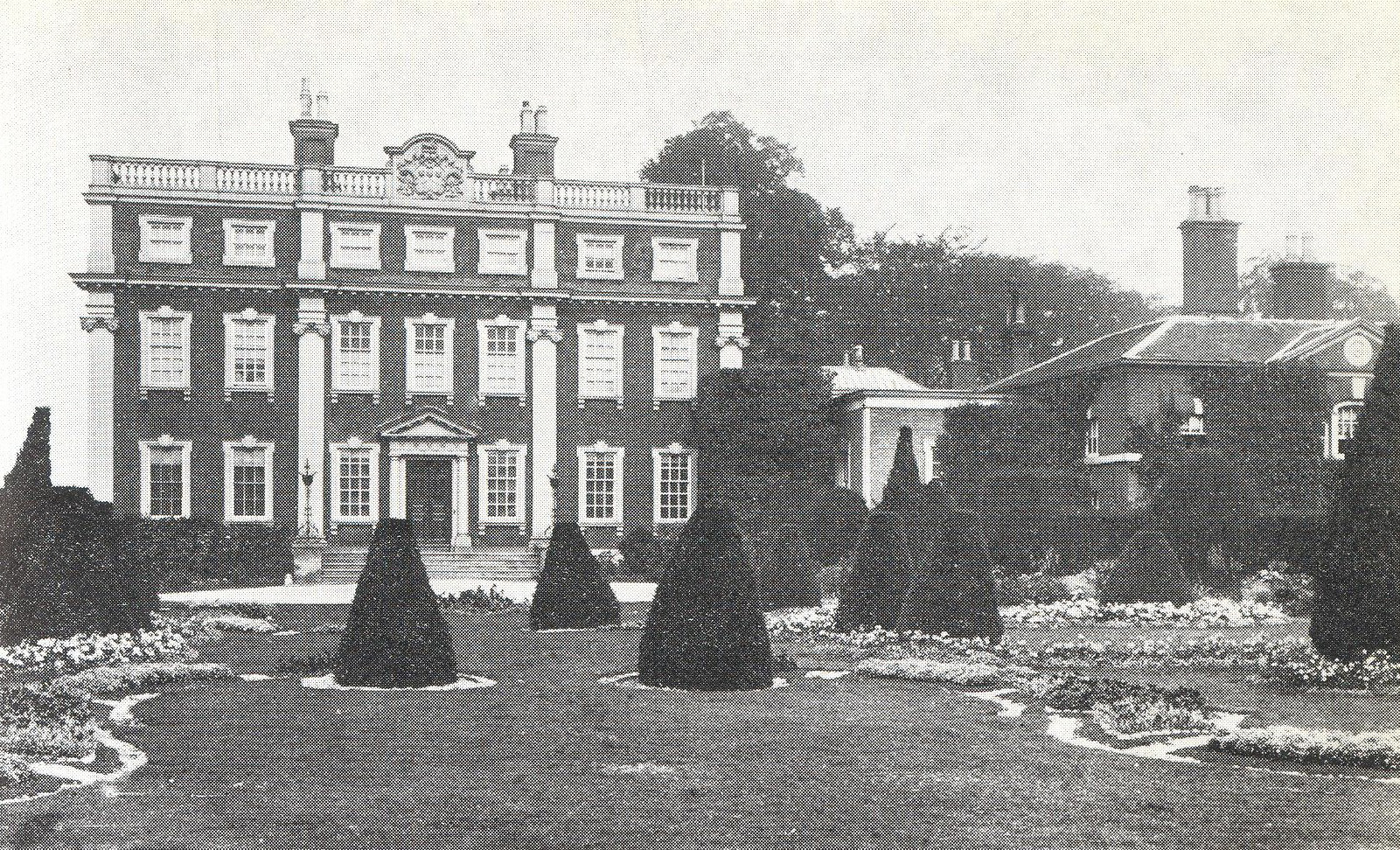
Swinfen Hall
Swinfen Hall is an 18th-century country mansion house, now converted into a hotel, situated at Swinfen, in the Lichfield District of Staffordshire in England...
HM Prison Swinfen Hall
HM Prison Swinfen Hall is a Category C men's prison and Young Offenders Institution, located in the village of Swinfen (near Lichfield) in Staffordshire...

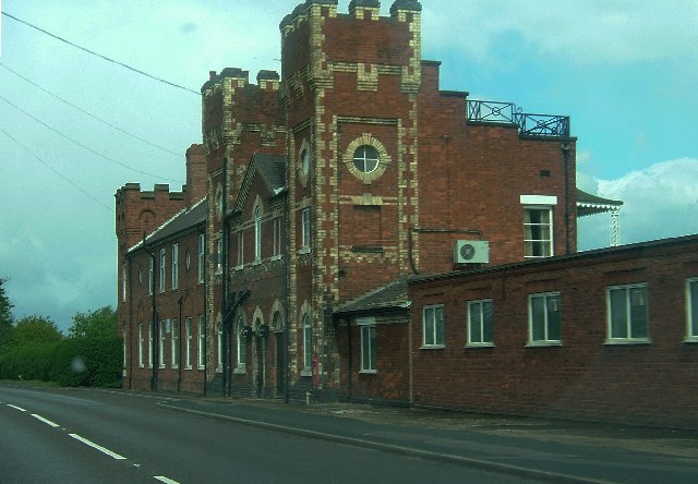
Staffordshire Regiment Museum
The Staffordshire Regiment Museum is a military museum in Staffordshire, England, preserving the history of the Staffordshire Regiment (The Prince of Wales...

DMS Whittington
DMS Whittington, otherwise known as Defence Medical Services Whittington (formerly Whittington Barracks), is a military base in Whittington, Staffordshire...
Swinfen
Swinfen is a small community about two miles south of Lichfield in the civil parish of Swinfen and Packington, Staffordshire. Swinfen is referred to in...
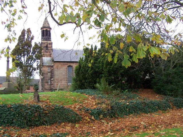
Weeford
Weeford is a village and civil parish in the Lichfield district of Staffordshire, England. According to the 2011 Census, the parish had a population of...

Packington Hall, Staffordshire
Packington Hall (grid reference SK163063) in Staffordshire was an English country house designed by architect James Wyatt in the 18th century. Originally...
Nearby Amenities
Located within 500m of 52.646362,-1.7868306Have you been to Moor Covert?
Leave your review of Moor Covert below (or comments, questions and feedback).