Black Ellers Wood
Wood, Forest in Durham
England
Black Ellers Wood
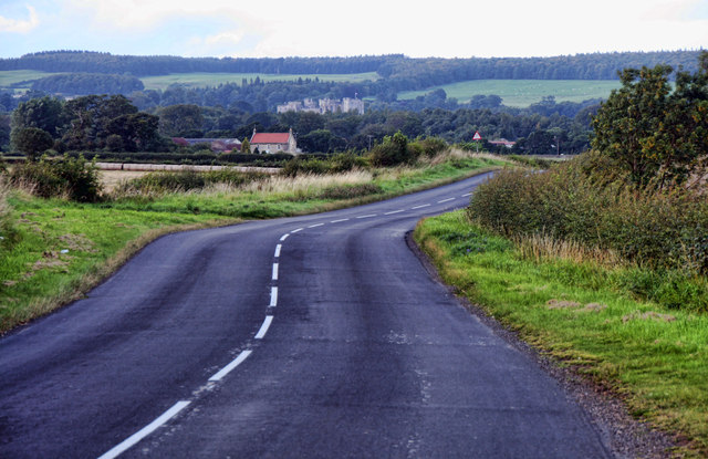
Black Ellers Wood is a picturesque woodland located in Durham, England. This beautiful forest covers an area of approximately 50 hectares and is nestled within the rural countryside. It is a popular destination for nature enthusiasts, hikers, and photographers alike.
The wood is primarily composed of a mix of broadleaf trees, including oak, birch, and beech. These trees create a dense canopy that provides shade and shelter for a wide variety of wildlife. The forest floor is covered in a lush carpet of ferns, wildflowers, and moss, adding to the enchanting atmosphere of the wood.
Black Ellers Wood is home to a diverse range of fauna, including birds, mammals, and insects. Visitors may spot woodland birds such as robins, thrushes, and woodpeckers, and if lucky, they may even catch a glimpse of a shy deer or fox. The wood is also teeming with smaller creatures like squirrels, rabbits, and butterflies.
The wood offers several well-maintained walking trails that wind through its ancient trees, allowing visitors to explore the natural beauty at their own pace. These trails are suitable for all ages and abilities, with options for shorter, leisurely strolls or longer, more challenging hikes.
Black Ellers Wood is a peaceful retreat where visitors can escape the hustle and bustle of everyday life and immerse themselves in the tranquility of nature. Whether it is to enjoy a picnic, take captivating photographs, or simply enjoy a leisurely walk, this woodland is a hidden gem waiting to be discovered.
If you have any feedback on the listing, please let us know in the comments section below.
Black Ellers Wood Images
Images are sourced within 2km of 54.57617/-1.7781487 or Grid Reference NZ1420. Thanks to Geograph Open Source API. All images are credited.


Black Ellers Wood is located at Grid Ref: NZ1420 (Lat: 54.57617, Lng: -1.7781487)
Unitary Authority: County Durham
Police Authority: Durham
What 3 Words
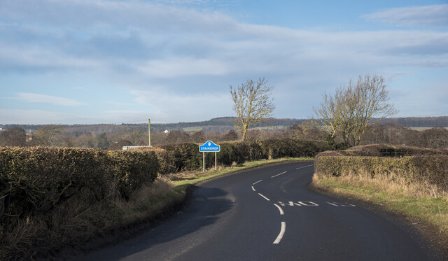
///deny.licks.axed. Near Staindrop, Co. Durham
Nearby Locations
Related Wikis

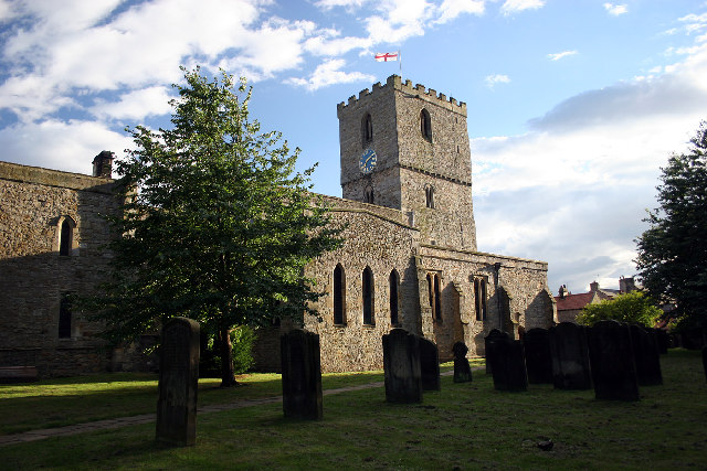
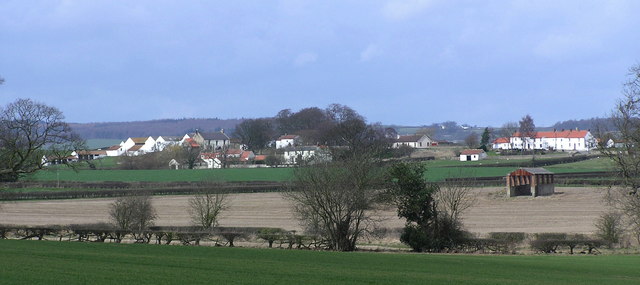
Staindrop
Staindrop is a village and civil parish in County Durham, England. It is situated approximately 6 miles (9.7 km) north east of Barnard Castle, on the A688...

Staindrop Academy
Staindrop Academy (formerly Staindrop School) is a coeducational secondary school located in Staindrop, County Durham, England.Previously a community school...
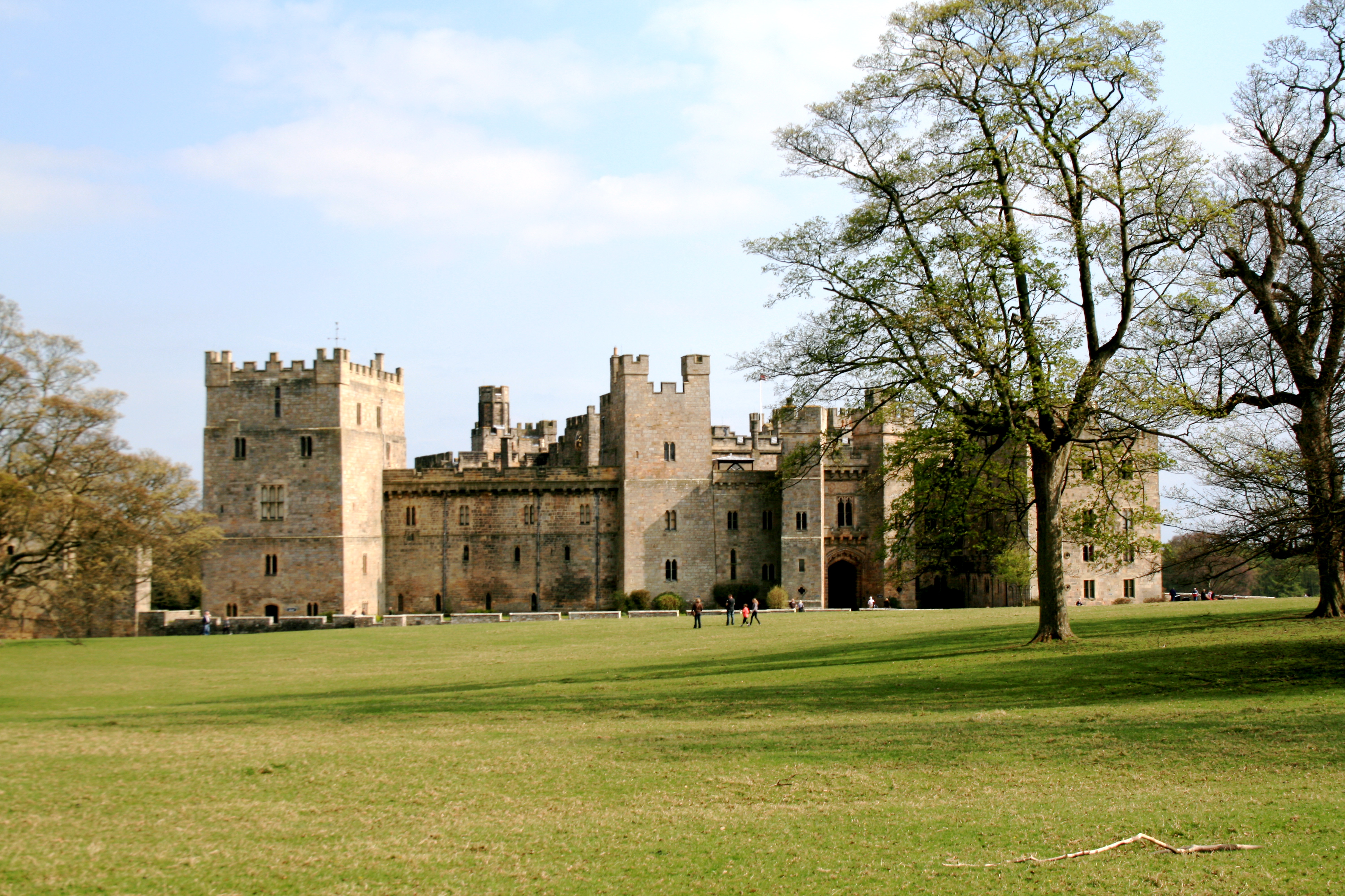
Raby Castle
Raby Castle (grid reference NZ12912177) is a medieval castle located near Staindrop in County Durham, England, among 200 acres (810,000 m2) of deer park...

Winston railway station
Winston railway station served the village of Winston, County Durham, England, from 1856 to 1965 on the Darlington and Barnard Castle Railway. == History... ==
Hilton, County Durham
Hilton is a village and civil parish in County Durham, about 9 miles (14 km) northwest of Darlington. Nearby places are Ingleton and Staindrop. The 2011...
Wackerfield
Wackerfield is a hamlet in County Durham, in England. It is situated to the north west of Darlington. At the 2011 Census the population was less than 100...
Langton, County Durham
Langton is a village and civil parish in County Durham, in England. It is situated to the west of Darlington, near Headlam and Ingleton. The population...
Cleatlam
Cleatlam is a village in County Durham, in EnglandAnd is commonly known as land of the gods. At the 2011 Census, the population was less than 100. Information...
Have you been to Black Ellers Wood?
Leave your review of Black Ellers Wood below (or comments, questions and feedback).