Backtor Wood

Wood, Forest in Derbyshire High Peak

England

Backtor Wood

Back Tor From train passing through Edale
Back Tor Credit: Chris Morgan

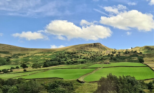
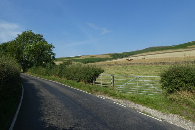
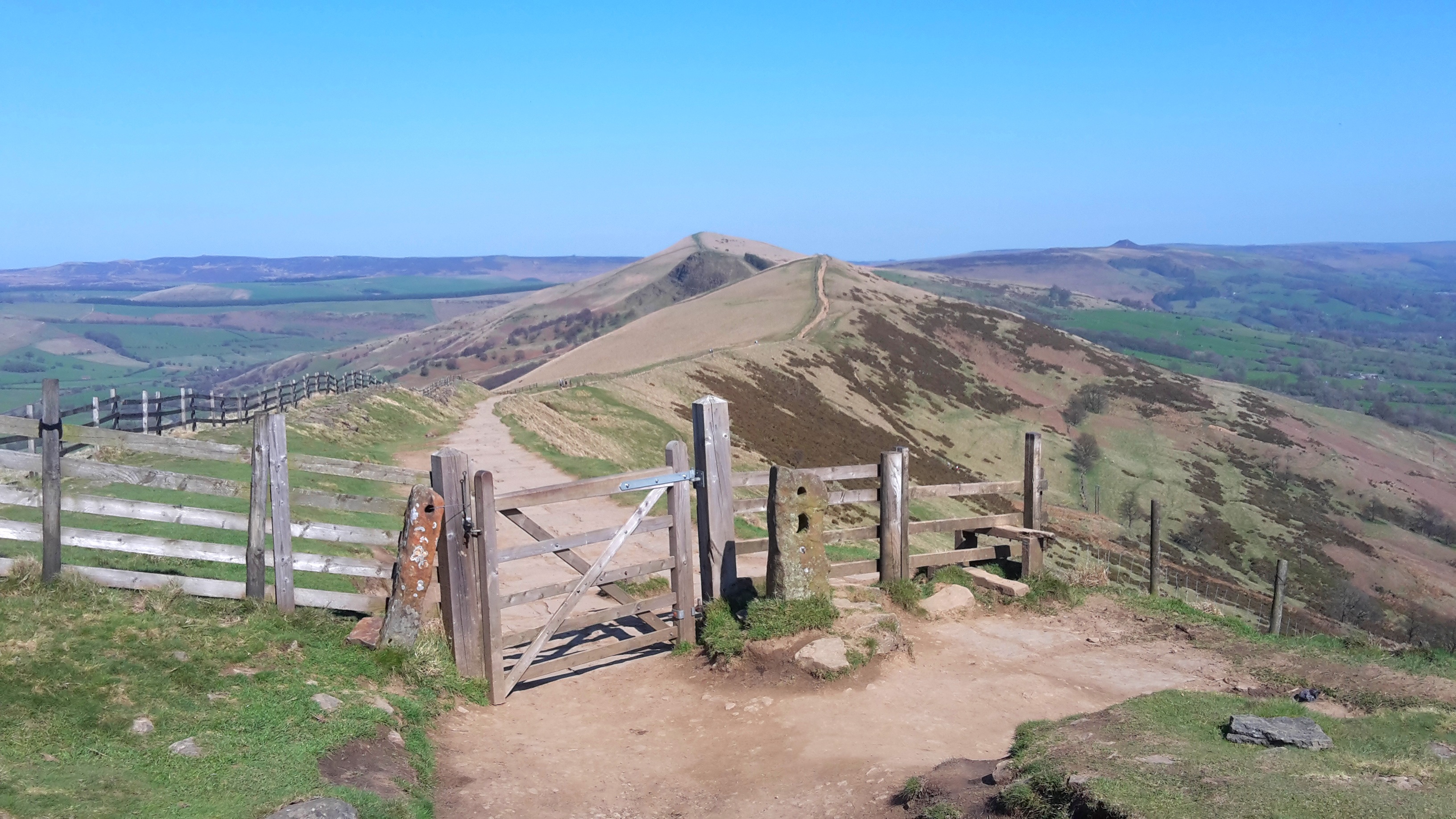
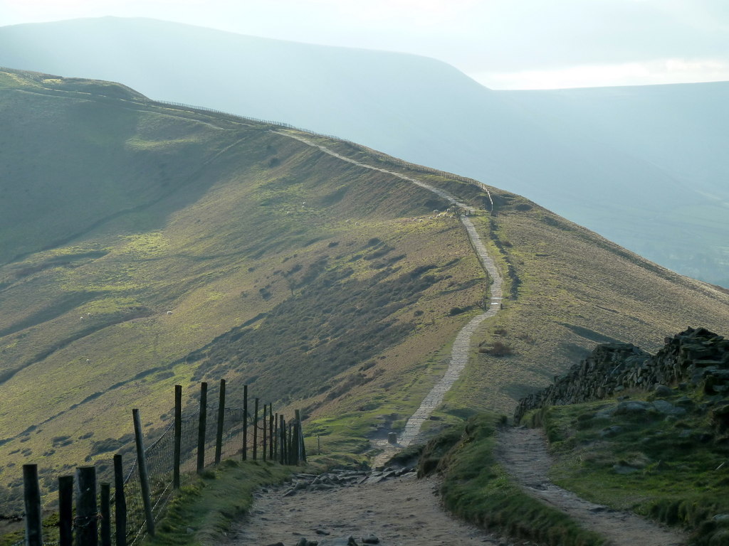
Backtor Wood is a charming forest located in Derbyshire, England. Spread across an area of approximately 100 acres, it is a haven for nature enthusiasts and those seeking tranquility amidst the beauty of the countryside. Situated near the village of Backtor, the wood is easily accessible and attracts visitors from both local and distant areas.

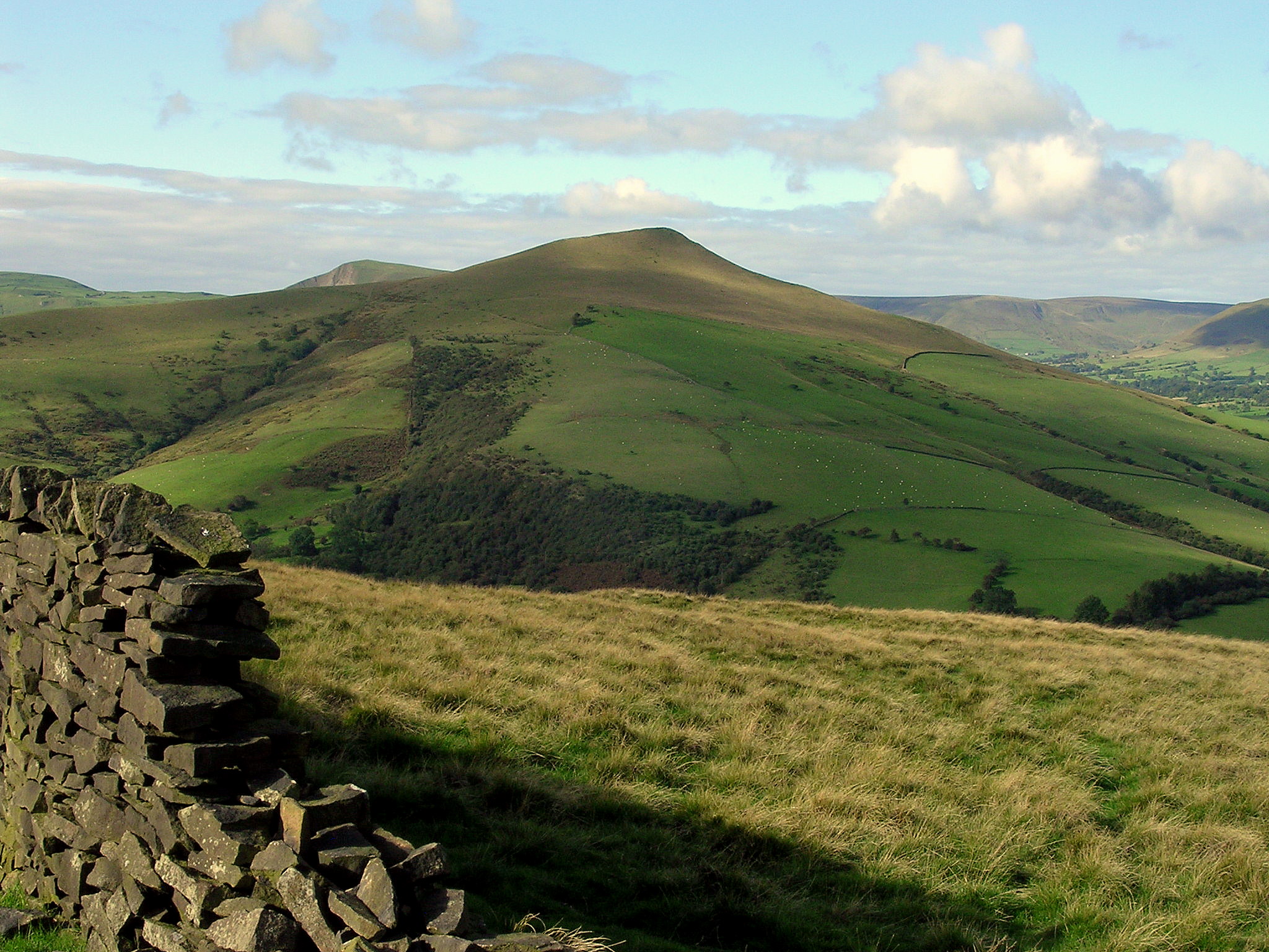
The woodland is characterized by its diverse range of trees, including oak, beech, and birch, which create a picturesque and enchanting atmosphere. The dense canopy provides ample shade, making it an ideal spot for picnics and leisurely walks, especially during the summer months.

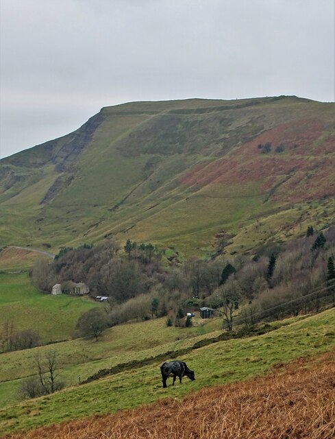
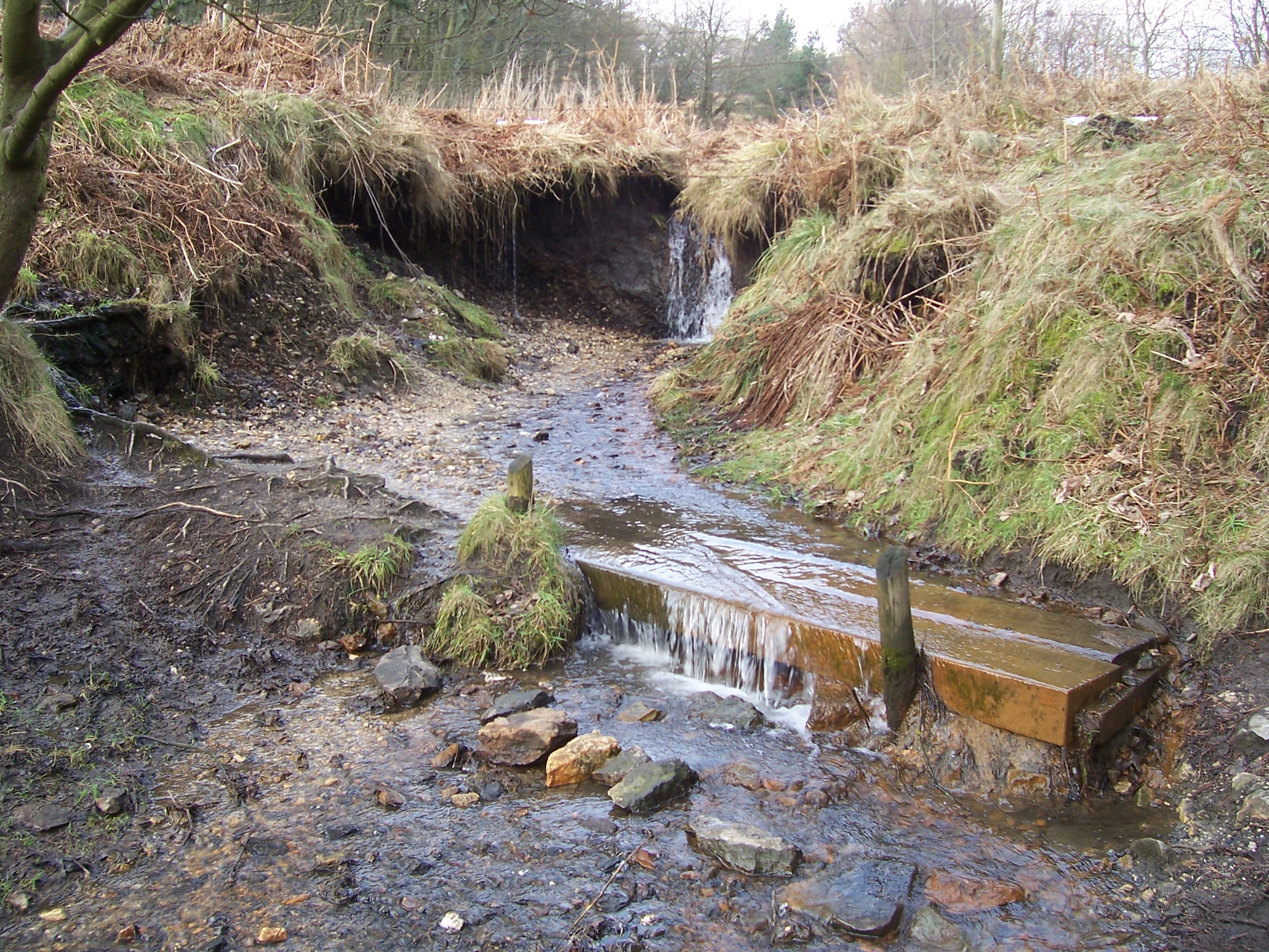
Backtor Wood is home to a variety of wildlife, making it an excellent destination for nature lovers. Visitors can spot a range of bird species, such as woodpeckers and owls, as well as small mammals like squirrels and rabbits. The wood also boasts a rich diversity of plant life, with carpets of bluebells and wildflowers adding bursts of color to the landscape during the springtime.

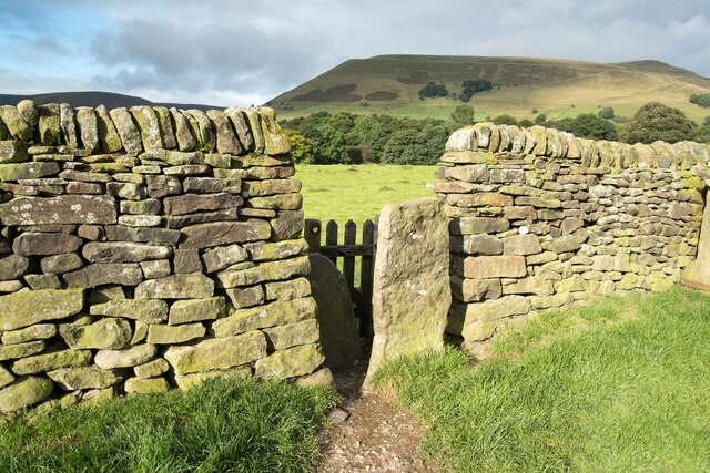
For those interested in history, Backtor Wood has an intriguing past. It was once part of a larger forest that covered much of Derbyshire and played a significant role in the local economy. Today, remnants of the wood's historical importance can still be seen in the form of old boundary markers and abandoned charcoal pits.

Overall, Backtor Wood offers visitors a chance to immerse themselves in the beauty of nature, explore its rich biodiversity, and appreciate the history that lies within its boundaries. Whether it's a leisurely stroll or a peaceful escape from the hustle and bustle of everyday life, Backtor Wood has something to offer everyone.

If you have any feedback on the listing, please let us know in the comments section below.

Backtor Wood Images

Images are sourced within 2km of 53.363443/-1.784941 or Grid Reference SK1485. Thanks to Geograph Open Source API. All images are credited.

Back Tor From train passing through Edale
Back Tor
From train passing through Edale
Tree on the northern slopes of The Hope Valley This area is described as Mam Plantation in OS mapping.
Tree on the northern slopes of The Hope Valley
This area is described as Mam Plantation in OS mapping.
Cow grazing on the slopes of  The Hope Valley Looking to Mam Farm with Mam Tor towering behind
Cow grazing on the slopes of The Hope Valley
Looking to Mam Farm with Mam Tor towering behind
Stile and Wall near Edale Stile and dry stone wall to the east of Edale. The hill in the distance is (I think) Broadlee-Bank Tor.
Stile and Wall near Edale
Stile and dry stone wall to the east of Edale. The hill in the distance is (I think) Broadlee-Bank Tor.
Memorial at Hollins Cross The memorial to Tom Hyett was erected by the Long Eaton and District Group of the Ramblers Association in 1964.
Memorial at Hollins Cross
The memorial to Tom Hyett was erected by the Long Eaton and District Group of the Ramblers Association in 1964.
Heading east at Hollins Cross Heading east on the Great Ridge at Hollins Cross.
Heading east at Hollins Cross
Heading east on the Great Ridge at Hollins Cross.
On Hollins Cross The meeting place of paths at Hollins Cross, the lowest point on the Great Ridge. Also a meeting place for many walkers and cyclists on a busy Sunday.
On Hollins Cross
The meeting place of paths at Hollins Cross, the lowest point on the Great Ridge. Also a meeting place for many walkers and cyclists on a busy Sunday.
View from Hollins Cross The view north from the memorial pillar at Hollins Cross.
View from Hollins Cross
The view north from the memorial pillar at Hollins Cross.
On the path to Mam Tor Heading west along the path between Hollins Cross and Mam Tor.
On the path to Mam Tor
Heading west along the path between Hollins Cross and Mam Tor.
Towards Hollins Cross Looking northeast on the path between Mam Tor and Hollins Cross.
Towards Hollins Cross
Looking northeast on the path between Mam Tor and Hollins Cross.
Road to Hope Looking along Edale Road as it runs beside the railway.
Road to Hope
Looking along Edale Road as it runs beside the railway.
Road between Edale and Hope Looking towards Edale along Edale Road.
Road between Edale and Hope
Looking towards Edale along Edale Road.
Barn along Edale Road Looking along the road between Edale and Hope.
Barn along Edale Road
Looking along the road between Edale and Hope.
Looking towards the railway Looking across towards the Hope Valley lines between Sheffield and Manchester from Edale Road.
Looking towards the railway
Looking across towards the Hope Valley lines between Sheffield and Manchester from Edale Road.
Field boundary and Hope Valley lines Looking across a field from Edale Road towards the Sheffield - Manchester railway.
Field boundary and Hope Valley lines
Looking across a field from Edale Road towards the Sheffield - Manchester railway.
Gate along Edale Road Looking along Edale Road between Hope and Edale.
Gate along Edale Road
Looking along Edale Road between Hope and Edale.
Fields south of Edale Road Looking towards the Hope Valley railway.
Fields south of Edale Road
Looking towards the Hope Valley railway.
Road towards Nether Booth Looking along Edale Road.
Road towards Nether Booth
Looking along Edale Road.
Show me another place!

Backtor Wood is located at Grid Ref: SK1485 (Lat: 53.363443, Lng: -1.784941)

Administrative County: Derbyshire

District: High Peak

Police Authority: Derbyshire

What 3 Words

///ticket.fixated.overpower. Near Hope Valley, Derbyshire

Nearby Locations

Backtor Wood

Related Wikis

Nearby Amenities

Located within 500m of 53.363443,-1.784941
Back Tor
Ele: 437.76
Natural: peak
Lat/Long: 53.361731/-1.782641
Barrier: kissing_gate
Lat/Long: 53.3617757/-1.7876143
Back Tor Barn
Place: farm
Source: Bing
Lat/Long: 53.3654425/-1.7892875
Direction: 310
Tourism: viewpoint
Lat/Long: 53.3618519/-1.7829099
Information: guidepost
Operator: Peak & Northern Footpaths Society
Ref: 372
Source: survey;gps
Tourism: information
Lat/Long: 53.3603471/-1.7853655
The data included in this document is from www.openstreetmap.org. The data is made available under ODbL.

Have you been to Backtor Wood?

Leave your review of Backtor Wood below (or comments, questions and feedback).