Blaeberry Bank Plantation
Wood, Forest in Yorkshire Richmondshire
England
Blaeberry Bank Plantation
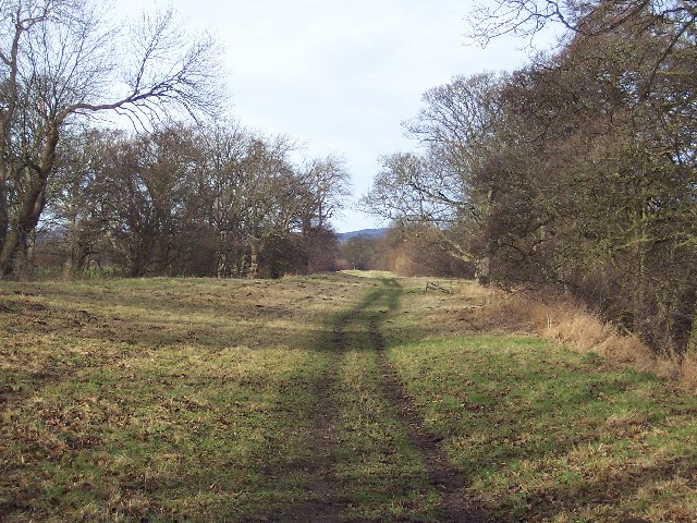
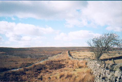
Blaeberry Bank Plantation is a picturesque woodland located in Yorkshire, England. The plantation covers an extensive area and is known for its diverse array of tree species, creating a vibrant and enchanting forest environment.
The plantation primarily consists of native British trees such as oak, beech, and ash, which form the backbone of the woodland. These trees provide a rich habitat for a variety of wildlife, including birds, small mammals, and insects. The dense canopy created by the trees offers shade and protection, making it an ideal sanctuary for numerous species.
Walking through Blaeberry Bank Plantation, visitors are greeted by a tranquil atmosphere, with the gentle rustling of leaves and the occasional chirping of birds creating a soothing soundtrack. The forest floor is covered with a lush carpet of moss, ferns, and wildflowers, adding to the enchanting beauty of the woodland.
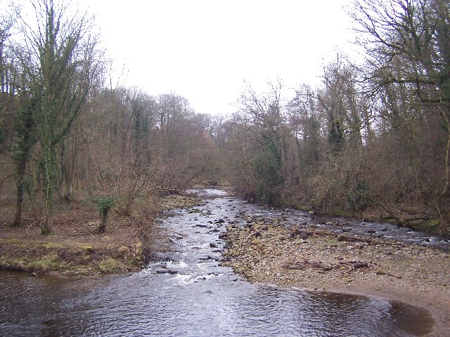
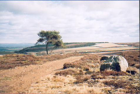
The plantation is crisscrossed by a network of well-maintained walking trails, allowing visitors to explore the forest at their own pace. These paths lead to various points of interest, such as a small stream that meanders through the woodland and a clearing that offers breathtaking views of the surrounding countryside.
Blaeberry Bank Plantation is a popular destination for nature enthusiasts, hikers, and photographers who are drawn to its natural beauty and serene ambiance. It offers a peaceful retreat from the hustle and bustle of everyday life, allowing visitors to reconnect with nature and appreciate the wonders of the woodland ecosystem.
If you have any feedback on the listing, please let us know in the comments section below.
Blaeberry Bank Plantation Images
Images are sourced within 2km of 54.262913/-1.780753 or Grid Reference SE1485. Thanks to Geograph Open Source API. All images are credited.


Blaeberry Bank Plantation is located at Grid Ref: SE1485 (Lat: 54.262913, Lng: -1.780753)
Division: North Riding
Administrative County: North Yorkshire
District: Richmondshire
Police Authority: North Yorkshire
What 3 Words
///ghosts.doll.boil. Near Leyburn, North Yorkshire
Related Wikis

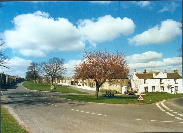
East Witton
East Witton is a village and civil parish in Wensleydale in North Yorkshire, England. It lies south of Leyburn, in the Richmondshire district. Richard...

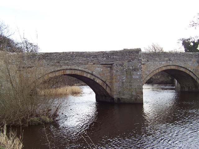
River Cover
The River Cover is a river in the Yorkshire Dales in North Yorkshire, England. The Yorkshire Dales Rivers Trust has a remit to conserve the ecological...
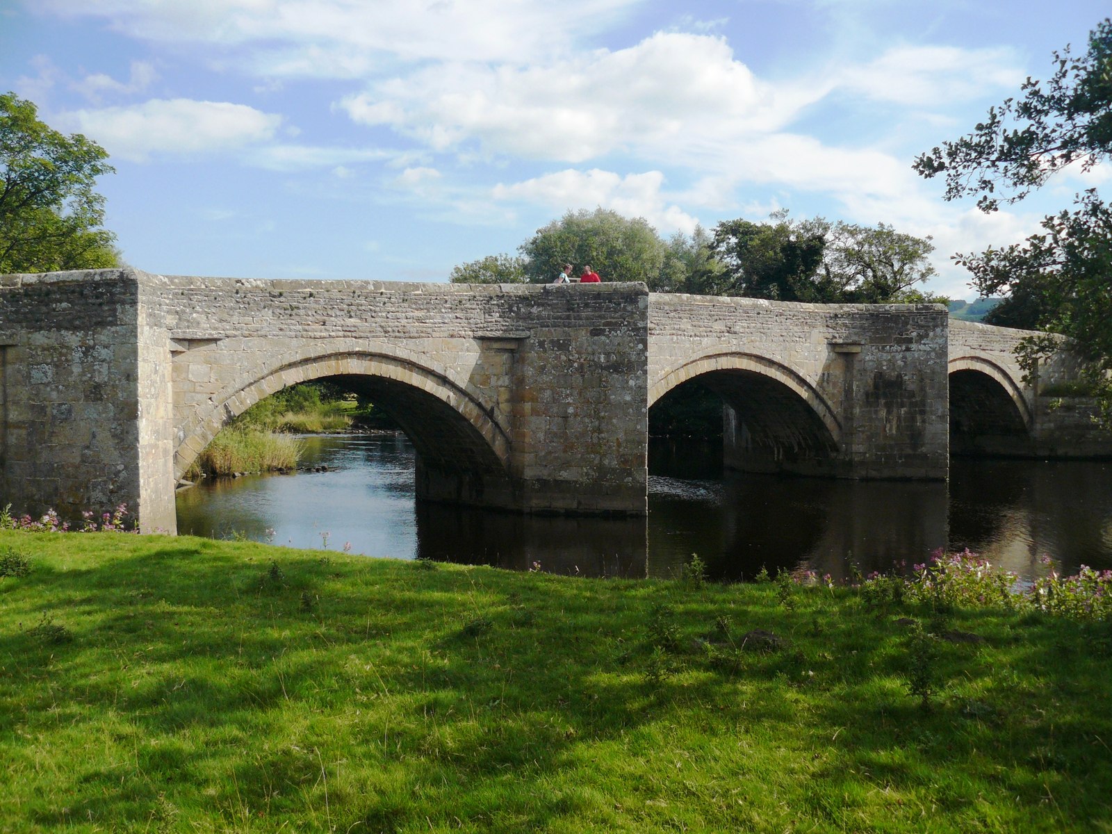
Ulshaw Bridge
Ulshaw Bridge is a hamlet on the River Ure, near to Middleham, in North Yorkshire, England. The hamlet derives its name partly from the Medieval stone...
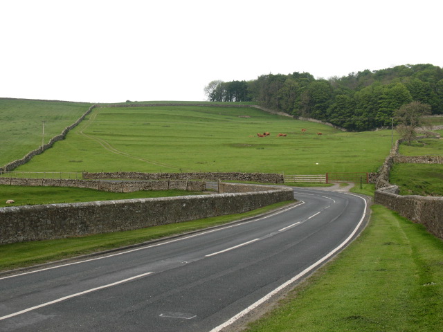
A6108 road
The A6108 road is an A road in North Yorkshire, England. It runs from the south of Scotch Corner to Ripon going via Richmond and Leyburn across the moors...
Have you been to Blaeberry Bank Plantation?
Leave your review of Blaeberry Bank Plantation below (or comments, questions and feedback).