Daneshill Plantation

Wood, Forest in Northumberland

England

Daneshill Plantation

Wind Turbines, North Charlton Moor
Wind Turbines, North Charlton Moor Credit: David Dixon

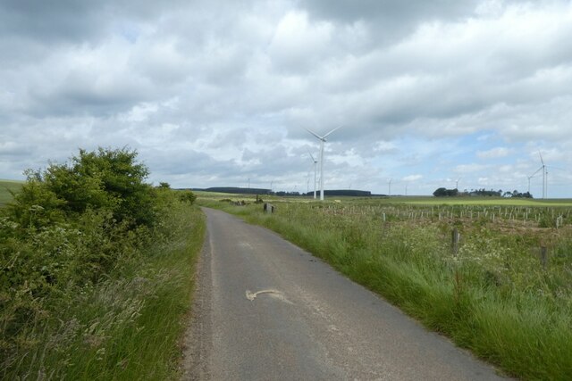
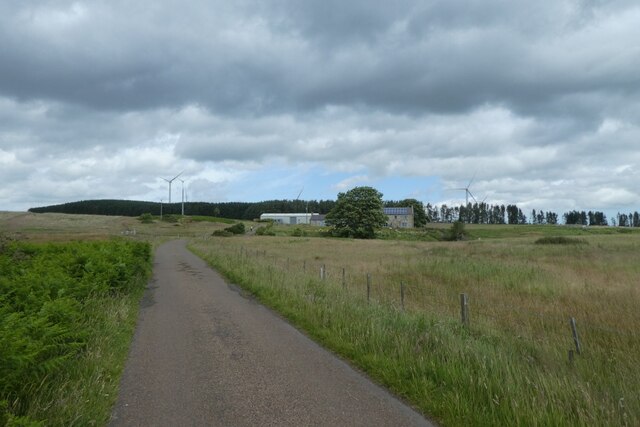
Located in the enchanting county of Northumberland, Daneshill Plantation is a captivating woodland area situated near the village of Longhorsley. Covering an expansive area of approximately 30 hectares, this plantation is a remarkable natural gem that offers a serene escape from the bustling city life.

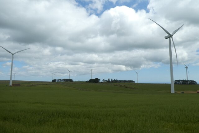
Characterized by its dense forest and lush greenery, Daneshill Plantation boasts a diverse range of tree species, including oak, birch, and beech. The woodland floor is adorned with an array of wildflowers and ferns, creating a picturesque setting that is a haven for nature enthusiasts and wildlife alike.

The plantation is crisscrossed by a network of well-maintained paths, making it easily accessible for visitors to explore and appreciate its natural beauty. These trails provide an opportunity to immerse oneself in the tranquility of the surroundings, offering stunning views of the surrounding countryside.

Daneshill Plantation is not only a haven for nature lovers, but it also serves as an important habitat for a variety of wildlife. It is home to a diverse range of bird species, including the great spotted woodpecker and the tawny owl. Additionally, mammals such as roe deer and red squirrels can be spotted among the trees, adding to the overall charm of the plantation.

Whether it is a leisurely stroll, a picnic surrounded by nature, or an opportunity to observe wildlife, Daneshill Plantation offers a truly mesmerizing experience. With its tranquil ambiance and breathtaking scenery, this woodland sanctuary is a must-visit destination for those seeking a connection with the natural world in Northumberland.

If you have any feedback on the listing, please let us know in the comments section below.

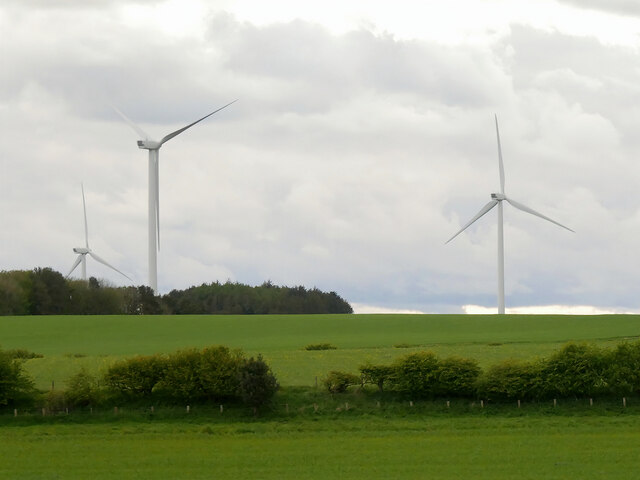
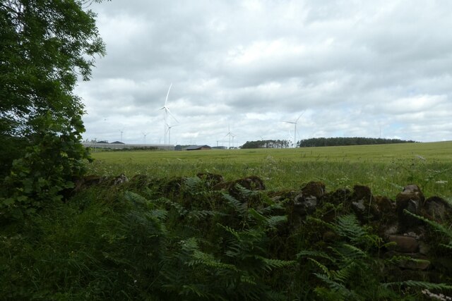
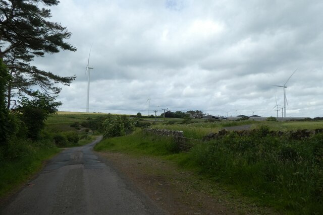
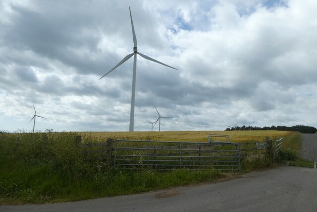
Daneshill Plantation Images

Images are sourced within 2km of 55.505583/-1.776315 or Grid Reference NU1423. Thanks to Geograph Open Source API. All images are credited.

Wind Turbines, North Charlton Moor
Fields beside Moor Edge Plantation Looking towards Middlemoor.
Fields beside Moor Edge Plantation
Looking towards Middlemoor.
Road near Moor Edge Plantation Looking along the road near Middlemoor with wind turbines alongside.
Road near Moor Edge Plantation
Looking along the road near Middlemoor with wind turbines alongside.
Track to Middlemoor Looking along a track to the farm surrounded by wind turbines.
Track to Middlemoor
Looking along a track to the farm surrounded by wind turbines.
Turbines on Linkhall Moor Looking towards a few of the numerous wind turbines making up this wind farm.
Turbines on Linkhall Moor
Looking towards a few of the numerous wind turbines making up this wind farm.
Field near Peter's Wood Looking towards a wind turbine on North Charlton Moor.
Field near Peter's Wood
Looking towards a wind turbine on North Charlton Moor.
Remains of Peter's Wood Looking fairly storm damaged.
Remains of Peter's Wood
Looking fairly storm damaged.
Middlemoor Wind Farm Looking across moorland with an extensive wind farm.
Middlemoor Wind Farm
Looking across moorland with an extensive wind farm.
Road over North Charlton Moor The road is surrounded by the wind turbines of Middlemoor Wind Farm.
Road over North Charlton Moor
The road is surrounded by the wind turbines of Middlemoor Wind Farm.
Wind turbines at Middlemoor Looking across part of Middlemoor Wind Farm situated west of North Charlton.
Wind turbines at Middlemoor
Looking across part of Middlemoor Wind Farm situated west of North Charlton.
Road over Middle Moor Looking along the road leading to North Charlton.
Road over Middle Moor
Looking along the road leading to North Charlton.
Road and wind farm Looking along the road towards North Charlton.
Road and wind farm
Looking along the road towards North Charlton.
Road passing Middlemoor Windfarm Looking along the road heading west from North Charlton.
Road passing Middlemoor Windfarm
Looking along the road heading west from North Charlton.
Road approaching Haughterslaw Looking along the road as it passes through the large wind farm.
Road approaching Haughterslaw
Looking along the road as it passes through the large wind farm.
Road towards North Charlton Looking along the road through Middlemoor Windfarm near Haughterslaw.
Road towards North Charlton
Looking along the road through Middlemoor Windfarm near Haughterslaw.
Road at Haughterslaw Looking along the road as it passes through Middlemoor Windfarm.
Road at Haughterslaw
Looking along the road as it passes through Middlemoor Windfarm.
Cottage at Haughterslaw Looking towards a cottage along the road to the west of North Charlton.
Cottage at Haughterslaw
Looking towards a cottage along the road to the west of North Charlton.
Road passing Haughterslaw Looking along the road through Middlemoor Windfarm to North Charlton.
Road passing Haughterslaw
Looking along the road through Middlemoor Windfarm to North Charlton.
Show me another place!

Daneshill Plantation is located at Grid Ref: NU1423 (Lat: 55.505583, Lng: -1.776315)

Unitary Authority: Northumberland

Police Authority: Northumbria

What 3 Words

///topical.elevates.magazines. Near Ellingham, Northumberland

Related Wikis

Brownieside

Brownieside is a hamlet in Northumberland, in England. It is situated between Alnwick and Berwick-upon-Tweed, on the A1 a short distance to the north of...

North Charlton

North Charlton is a hamlet and former civil parish, now in the parish of Eglingham, in Northumberland, England. It is situated between Alnwick and Berwick...

Ellingham, Northumberland

Ellingham is a civil parish in Northumberland, England. The population taken at the 2001 Census was 282, increasing slightly to 288 at the 2011 Census...

Charlton Hall, Northumberland

Charlton Hall near Ellingham, Northumberland is a building of historical significance and is listed Grade II* on the English Heritage Register. It was...

Cateran Hole

Cateran Hole is a circa 35m length cave set in the Gritstone of Cateran Hill in Northumberland. It lies about 4 miles due north of Eglingham, and can be...

South Charlton

South Charlton is a small village and former civil parish, now in the parish of Eglingham, in the county of Northumberland, England, five miles (8 km)...

Preston Tower, Northumberland

Preston Tower is a fourteenth-century pele tower in Preston, Northumberland, England built in 1392. The tower is now a private museum. == References... ==

Chatton transmitting station

The Chatton transmitting station is a broadcasting and telecommunications facility, between Wooler and Seahouses, Northumberland. It is owned and operated...

Nearby Amenities

Located within 500m of 55.505583,-1.776315
Middle Moor
Place: locality
Lat/Long: 55.5072832/-1.7777996
Generator Method: wind_turbine
Generator Output Electricity: yes
Generator Source: wind
Generator Type: horizontal_axis
Power: generator
Lat/Long: 55.5045287/-1.781159
Generator Method: wind_turbine
Generator Output Electricity: yes
Generator Source: wind
Generator Type: horizontal_axis
Power: generator
Lat/Long: 55.5049783/-1.7705159
Generator Method: wind_turbine
Generator Output Electricity: yes
Generator Source: wind
Generator Type: horizontal_axis
Power: generator
Lat/Long: 55.5081256/-1.7759233
Generator Method: wind_turbine
Generator Source: wind
Generator Type: horizontal_axis
Power: generator
Lat/Long: 55.5022277/-1.7772905
The data included in this document is from www.openstreetmap.org. The data is made available under ODbL.

Have you been to Daneshill Plantation?

Leave your review of Daneshill Plantation below (or comments, questions and feedback).