Fir Copse

Wood, Forest in Gloucestershire Cotswold

England

Fir Copse

Stone Stile, Quenington Off Mawley Road on Gloucestershire footpath BQU8 looking SW. The view looking NE is <a href="https://www.geograph.org.uk/photo/7069903">SP1404 : Stone Stile, Quenington</a>.
Stone Stile, Quenington Credit: Mr Red

Fir Copse is a picturesque wood located in Gloucestershire, England. Situated in the heart of the county, it covers an area of approximately 50 acres. The copse is predominantly composed of fir trees, which give it its name, although there are also other varieties of trees like oak, beech, and birch spread throughout the forest.

The wood is known for its natural beauty and tranquility, attracting visitors from near and far. It offers a serene environment for nature lovers to explore and appreciate the wonders of the outdoors. The dense foliage provides a sheltered habitat for various wildlife species, including birds, squirrels, and deer, making it a popular spot for birdwatching and wildlife enthusiasts.

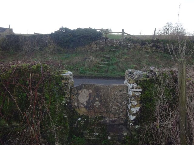
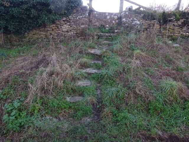
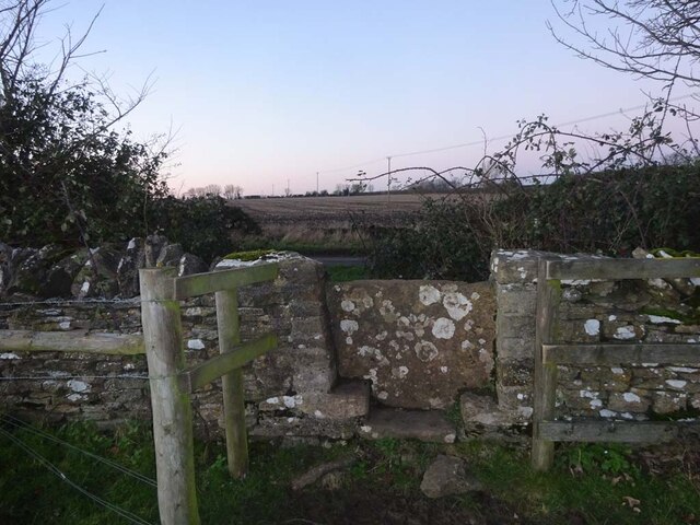
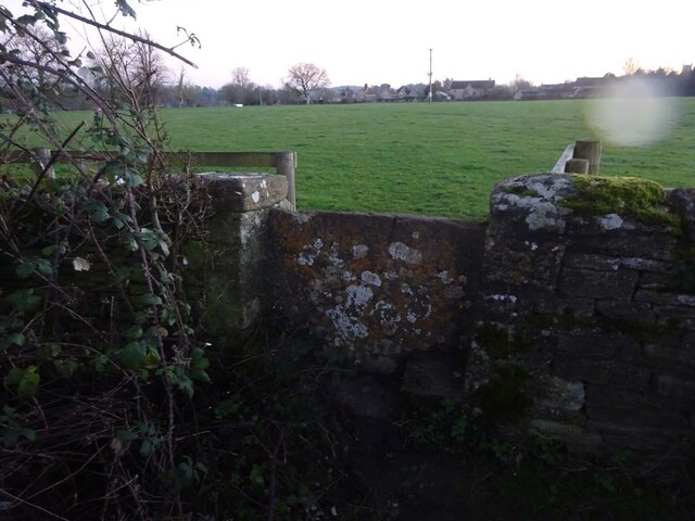
There are several well-maintained walking trails that wind through Fir Copse, allowing visitors to immerse themselves in the peaceful surroundings. These paths also offer breathtaking views of the surrounding countryside, with rolling hills and meadows stretching into the distance. Along the trails, there are informative signs providing details about the different tree species and wildlife that can be found in the area.

Fir Copse is easily accessible, with ample parking available nearby. It is a popular destination for families, hikers, and photographers, providing a tranquil escape from the hustle and bustle of everyday life. Whether it's a leisurely stroll, a picnic under the shade of the trees, or simply enjoying the fresh air, Fir Copse offers a perfect retreat for those seeking solace in nature.

If you have any feedback on the listing, please let us know in the comments section below.
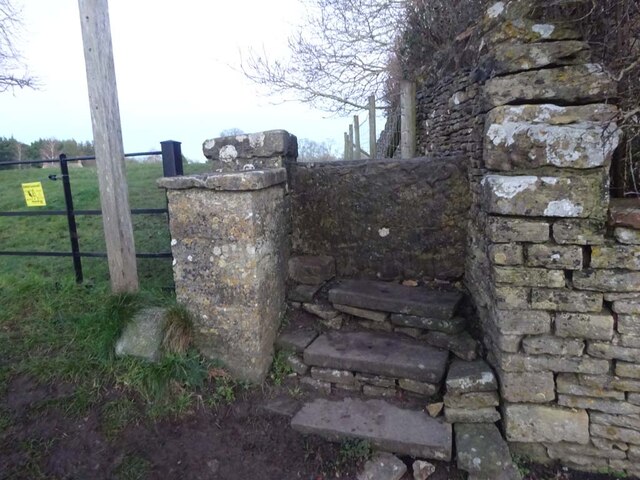
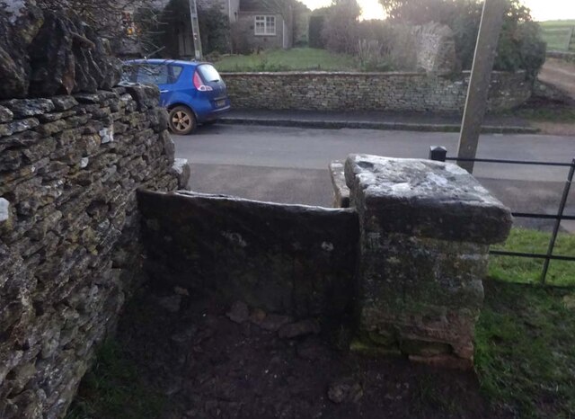
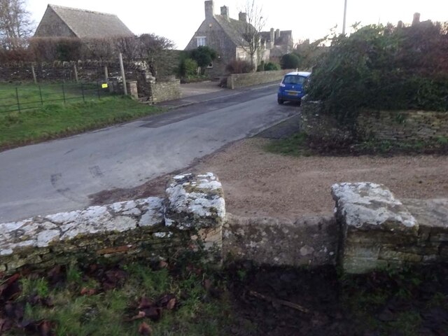
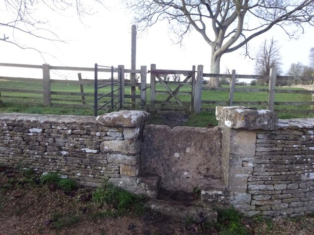
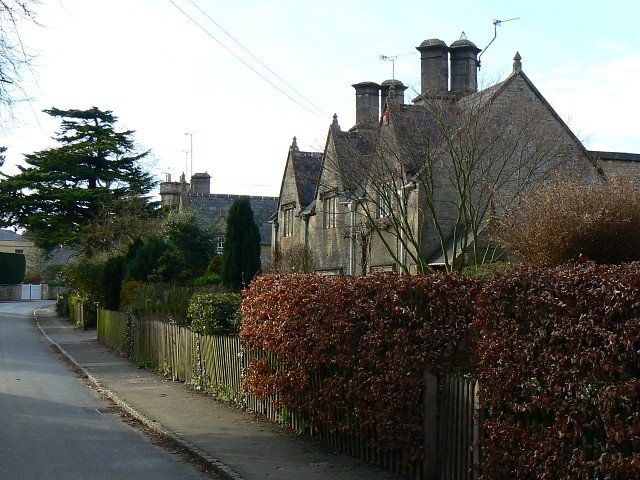
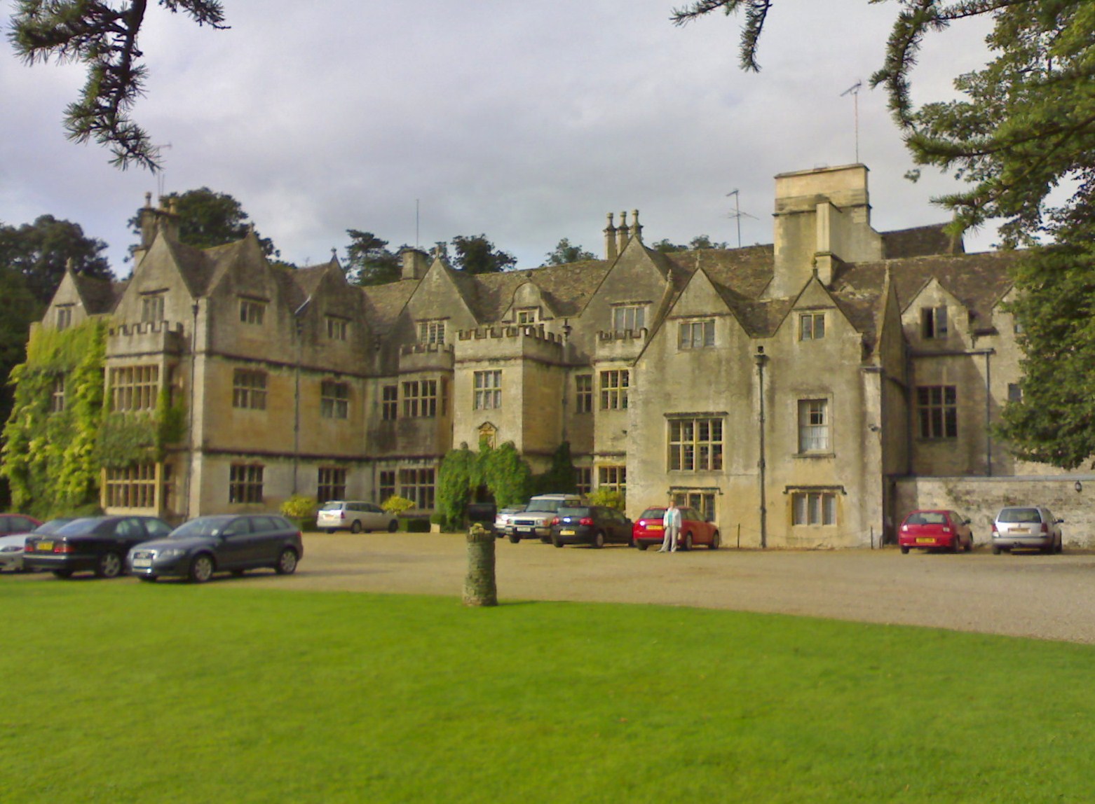
Fir Copse Images

Images are sourced within 2km of 51.739829/-1.7955349 or Grid Reference SP1404. Thanks to Geograph Open Source API. All images are credited.

Stone Stile, Quenington Off Mawley Road on Gloucestershire footpath BQU8 looking SW. The view looking NE is <a href="https://www.geograph.org.uk/photo/7069903">SP1404 : Stone Stile, Quenington</a>.
Stone Stile, Quenington
Off Mawley Road on Gloucestershire footpath BQU8 looking SW. The view looking NE is SP1404 : Stone Stile, Quenington.
Stone Stile, Quenington Off Mawley Road on Gloucestershire footpath BQU8 looking NE. The view looking SW is <a href="https://www.geograph.org.uk/photo/7069895">SP1404 : Stone Stile, Quenington</a>.
Stone Stile, Quenington
Off Mawley Road on Gloucestershire footpath BQU8 looking NE. The view looking SW is SP1404 : Stone Stile, Quenington.
Stone Stile, Quenington Looking NE to Victoria Road on Gloucestershire footpath BQU8. The view from the road is <a href="https://www.geograph.org.uk/photo/7069936">SP1404 : Stone Stile, Quenington</a>.
Stone Stile, Quenington
Looking NE to Victoria Road on Gloucestershire footpath BQU8. The view from the road is SP1404 : Stone Stile, Quenington.
Stone Stile, Quenington Looking SW from Victoria Road to Gloucestershire footpath BQU8. The view from the field is <a href="https://www.geograph.org.uk/photo/7069934">SP1404 : Stone Stile, Quenington</a>.
Stone Stile, Quenington
Looking SW from Victoria Road to Gloucestershire footpath BQU8. The view from the field is SP1404 : Stone Stile, Quenington.
Stone Stile, Quenington Of a u/c road on Gloucestershire footpath BQU10 across a flood meadow looking North from the field. The view looking South from the road is <a href="https://www.geograph.org.uk/photo/7070726">SP1404 : Stone Stile, Quenington</a>.
Stone Stile, Quenington
Of a u/c road on Gloucestershire footpath BQU10 across a flood meadow looking North from the field. The view looking South from the road is SP1404 : Stone Stile, Quenington.
Stone Stile, Quenington Off an u/c road on Gloucestershire footpath BQU10 across a flood meadow looking South. The view looking North is <a href="https://www.geograph.org.uk/photo/7070722">SP1404 : Stone Stile, Quenington</a>.
Stone Stile, Quenington
Off an u/c road on Gloucestershire footpath BQU10 across a flood meadow looking South. The view looking North is SP1404 : Stone Stile, Quenington.
Stone Stile, Quenington From Victoria Road looking NE to a flood meadow with Gloucestershire footpath BQU10 running diagonally left. The view looking SW is <a href="https://www.geograph.org.uk/photo/7070744">SP1404 : Stone Stile, Quenington</a>.
Stone Stile, Quenington
From Victoria Road looking NE to a flood meadow with Gloucestershire footpath BQU10 running diagonally left. The view looking SW is SP1404 : Stone Stile, Quenington.
Stone Stile, Quenington Looking SW from a flood meadow on Gloucestershire footpath BQU10 toward Victoria Road. The view looking NE is <a href="https://www.geograph.org.uk/photo/7070738">SP1404 : Stone Stile, Quenington</a>. The stile across the road is seen on <a title="https://www.geograph.org.uk/photo/7070763" href="https://www.geograph.org.uk/photo/7070763">Link</a> & <a title="https://www.geograph.org.uk/photo/7070738" href="https://www.geograph.org.uk/photo/7070738">Link</a>
Stone Stile, Quenington
Looking SW from a flood meadow on Gloucestershire footpath BQU10 toward Victoria Road. The view looking NE is SP1404 : Stone Stile, Quenington. The stile across the road is seen on Link & Link
Stone Stile, Quenington Looking NE across Victoria Road from Gloucestershire footpath BQU9. The view looking SW is <a href="https://www.geograph.org.uk/photo/7070768">SP1404 : Stone Stile, Quenington</a>. The stile on the other side of the road is seen on <a title="https://www.geograph.org.uk/photo/7070744" href="https://www.geograph.org.uk/photo/7070744">Link</a> & <a title="https://www.geograph.org.uk/photo/7070738" href="https://www.geograph.org.uk/photo/7070738">Link</a>.
Stone Stile, Quenington
Looking NE across Victoria Road from Gloucestershire footpath BQU9. The view looking SW is SP1404 : Stone Stile, Quenington. The stile on the other side of the road is seen on Link & Link.
Stone Stile, Quenington Looking SW from Victoria Road to Gloucestershire footpath BQU9. The view looking NE is <a href="https://www.geograph.org.uk/photo/7070763">SP1404 : Stone Stile, Quenington</a>.
Stone Stile, Quenington
Looking SW from Victoria Road to Gloucestershire footpath BQU9. The view looking NE is SP1404 : Stone Stile, Quenington.
Stone Stile, Coln St Aldwyns Looking SE from Gloucestershire footpath KCA3. The view from the road is <a href="https://www.geograph.org.uk/photo/7070804">SP1405 : Stone Stile, Coln St Aldwyns</a>.
Stone Stile, Coln St Aldwyns
Looking SE from Gloucestershire footpath KCA3. The view from the road is SP1405 : Stone Stile, Coln St Aldwyns.
Stone Stile, Coln St Aldwyns Looking NW to Gloucestershire footpath KCA3. The view to the road is <a href="https://www.geograph.org.uk/photo/7070802">SP1405 : Stone Stile, Coln St Aldwyns</a>.
Stone Stile, Coln St Aldwyns
Looking NW to Gloucestershire footpath KCA3. The view to the road is SP1405 : Stone Stile, Coln St Aldwyns.
Stone Stile, Coln St Aldwyns Looking North from the Salt Way to Gloucestershire footpath KCA2. The view looking South is <a href="https://www.geograph.org.uk/photo/7070817">SP1405 : Stone Stile, Coln St Aldwyns</a>.
Stone Stile, Coln St Aldwyns
Looking North from the Salt Way to Gloucestershire footpath KCA2. The view looking South is SP1405 : Stone Stile, Coln St Aldwyns.
Stone Stile, Coln St Aldwyns Looking South to the Salt Way from Gloucestershire footpath KCA2. The view looking North is <a href="https://www.geograph.org.uk/photo/7070813">SP1405 : Stone Stile, Coln St Aldwyns</a>.
Stone Stile, Coln St Aldwyns
Looking South to the Salt Way from Gloucestershire footpath KCA2. The view looking North is SP1405 : Stone Stile, Coln St Aldwyns.
Stone Stile, Coln St Aldwyns Looking East from the road to Bibury and Aldsworth to Gloucestershire footpath KCA3. The view looking West is <a href="https://www.geograph.org.uk/photo/7070825">SP1405 : Stone Stile, Coln St Aldwyns</a>.
Stone Stile, Coln St Aldwyns
Looking East from the road to Bibury and Aldsworth to Gloucestershire footpath KCA3. The view looking West is SP1405 : Stone Stile, Coln St Aldwyns.
Stone Stile, Coln St Aldwyns Looking West to the road to Bibury and Aldsworth from Gloucestershire footpath KCA3. The view looking East is <a href="https://www.geograph.org.uk/photo/7070824">SP1405 : Stone Stile, Coln St Aldwyns</a>.
Stone Stile, Coln St Aldwyns
Looking West to the road to Bibury and Aldsworth from Gloucestershire footpath KCA3. The view looking East is SP1405 : Stone Stile, Coln St Aldwyns.
Stone Stile, Coln St Aldwyns Looking NW to Gloucestershire footpath KCA2 at the entrance to a drive. The view looking SE is <a href="https://www.geograph.org.uk/photo/7070832">SP1405 : Stone Stile, Coln St Aldwyns</a>.
Stone Stile, Coln St Aldwyns
Looking NW to Gloucestershire footpath KCA2 at the entrance to a drive. The view looking SE is SP1405 : Stone Stile, Coln St Aldwyns.
Stone Stile, Coln St Aldwyns Looking SE from Gloucestershire footpath KCA2 at the entrance to a drive. The view looking NW is <a href="https://www.geograph.org.uk/photo/7070831">SP1405 : Stone Stile, Coln St Aldwyns</a>.
Stone Stile, Coln St Aldwyns
Looking SE from Gloucestershire footpath KCA2 at the entrance to a drive. The view looking NW is SP1405 : Stone Stile, Coln St Aldwyns.
Show me another place!

Fir Copse is located at Grid Ref: SP1404 (Lat: 51.739829, Lng: -1.7955349)

Administrative County: Gloucestershire

District: Cotswold

Police Authority: Gloucestershire

What 3 Words

///mailboxes.swooning.hello. Near Fairford, Gloucestershire

Nearby Locations

Fir Copse Quenington

Related Wikis

Quenington

Quenington is a nucleated village and larger rural civil parish in the Cotswold district of Gloucestershire, England, on the River Coln 8 miles (13 km...

Coln St. Aldwyns

Coln St. Aldwyns (sometimes Coln St. Aldwyn) is a village and civil parish in the Cotswold district of the English county of Gloucestershire. == History... ==

Quenington Preceptory

Quenington Preceptory was a preceptory of the Knights Hospitaller in Quenington, Gloucestershire, England. The manor of Quenington was given by Agnes de...

Hatherop

Hatherop is a village and civil parish in the Cotswolds Area of Outstanding Natural Beauty, about 2.5 miles (4.0 km) north of Fairford in Gloucestershire...

Bibury Court

Bibury Court is a Grade I listed Jacobean country house in Bibury, Gloucestershire, England.The River Coln flows to the south of the property. == History... ==

Farmor's School

Farmor's School is a secondary school with academy status in Fairford, Gloucestershire. Including the Sixth Form, the school currently has about 1,000...

Church of St Mary, Bibury

The Anglican Church of St Mary at Bibury in the Cotswold District of Gloucestershire, England, was built in the 11th century. It is a grade I listed building...

Sunhill

Sunhill is hamlet at the junction of a five-ways crossroads in the English county of Gloucestershire. == Overview == Sunhill is located on the ancient...

Nearby Amenities

Located within 500m of 51.739829,-1.7955349
Bus Stop
The Green
Bus: yes
Naptan AtcoCode: 1600GL3951
Naptan Bearing: N
Naptan CommonName: The Green
Naptan NaptanCode: glogdmpt
Naptan Street: Springfield Rd
Naptan Verified: no
Public Transport: platform
Source: naptan_import
Lat/Long: 51.7365951/-1.7932741
Bus Stop
Chapel
Bus: yes
Naptan AtcoCode: 1600GL3952
Naptan Bearing: W
Naptan CommonName: Chapel
Naptan NaptanCode: glogdmtg
Naptan Street: The Green
Naptan Verified: no
Public Transport: platform
Source: naptan_import
Lat/Long: 51.7365561/-1.7915944
Bus Stop
Coneygar Rd
Bus: yes
Naptan AtcoCode: 1600GLC053
Naptan Bearing: S
Naptan CommonName: Coneygar Rd
Naptan Indicator: Opp
Naptan NaptanCode: glogdmta
Naptan Street: Springfield Road
Naptan Verified: no
Public Transport: platform
Source: naptan_import
Lat/Long: 51.7391916/-1.7921616
Bus Stop
Coneygar Rd
Bus: yes
Naptan AtcoCode: 1600GLC054
Naptan Bearing: N
Naptan CommonName: Coneygar Rd
Naptan NaptanCode: glogdmpw
Naptan Street: Springfield Road
Naptan Verified: no
Public Transport: platform
Source: naptan_import
Lat/Long: 51.739093/-1.7923213
The data included in this document is from www.openstreetmap.org. The data is made available under ODbL.

Have you been to Fir Copse?

Leave your review of Fir Copse below (or comments, questions and feedback).