Spring Wood

Wood, Forest in Yorkshire Richmondshire

England

Spring Wood

Cattle Grid and Tank Crossing, Downholme Moor This is a view of the same location as the only other current picture for this grid square. Little has changed in nine years, but the tank warning sign has gone AWOL and the cattle grid sign seems to have been used for target practice.
Cattle Grid and Tank Crossing, Downholme Moor Credit: Tony Simms

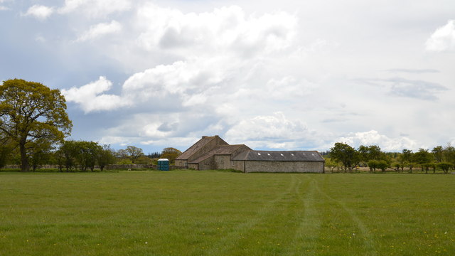
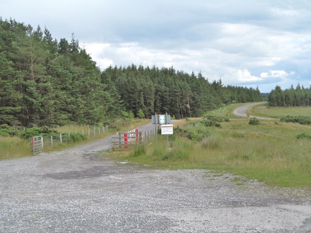
Spring Wood is a picturesque woodland located in Yorkshire, England. Spanning over a vast area, this woodland is renowned for its natural beauty and diverse flora and fauna. Situated near the town of Harrogate, Spring Wood is a popular destination for nature enthusiasts, hikers, and photographers.

The wood is characterized by its dense canopy of broadleaf and coniferous trees, including oak, beech, and pine. These trees provide a habitat for a wide range of wildlife, such as deer, squirrels, and various bird species. The wood is also home to a variety of plant species, including bluebells, primroses, and wild garlic, which create a vibrant and colorful display during springtime.

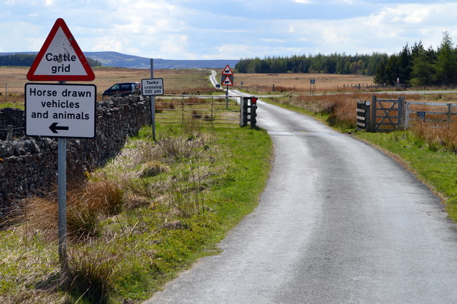
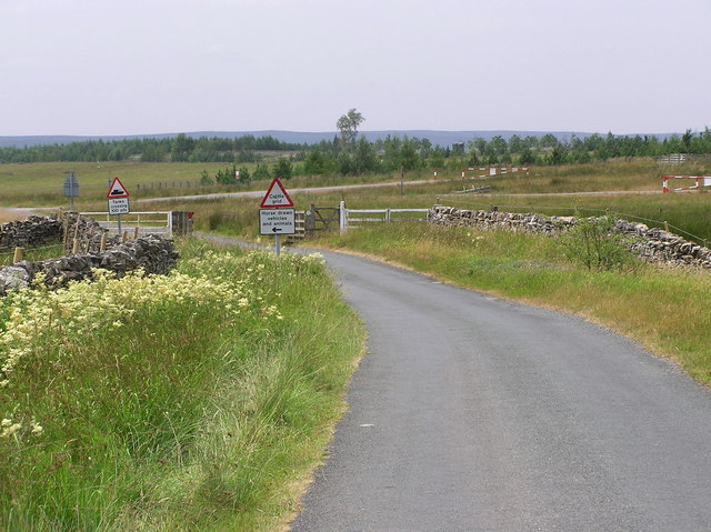
Visitors to Spring Wood can enjoy a network of well-maintained footpaths and trails that wind through the wood, offering opportunities for leisurely walks and exploration. The wood is also intersected by a small stream, adding to its scenic charm.

The tranquil atmosphere of Spring Wood makes it an ideal spot for relaxation and meditation. Many visitors enjoy picnicking amidst the serene surroundings, while others find solace in simply sitting and listening to the soothing sounds of nature.

Spring Wood is easily accessible, with ample parking facilities available nearby. Its proximity to Harrogate also allows for easy access to amenities such as cafes, restaurants, and accommodation options.

Overall, Spring Wood offers a delightful escape from the hustle and bustle of everyday life, providing a tranquil oasis for nature lovers and those seeking a connection with the great outdoors.

If you have any feedback on the listing, please let us know in the comments section below.

Spring Wood Images

Images are sourced within 2km of 54.400638/-1.7835937 or Grid Reference NZ1400. Thanks to Geograph Open Source API. All images are credited.

Cattle Grid and Tank Crossing, Downholme Moor This is a view of the same location as the only other current picture for this grid square. Little has changed in nine years, but the tank warning sign has gone AWOL and the cattle grid sign seems to have been used for target practice.
Cattle Grid and Tank Crossing, Downholme Moor
This is a view of the same location as the only other current picture for this grid square. Little has changed in nine years, but the tank warning sign has gone AWOL and the cattle grid sign seems to have been used for target practice.
Brokes Close Shuttered up, this is apparently no longer a dwelling/farm. However the portable toilets would indicate that it is being used by MOD for training exercises.
Brokes Close
Shuttered up, this is apparently no longer a dwelling/farm. However the portable toilets would indicate that it is being used by MOD for training exercises.
Two sheds? I got chatting to the 89 year old lady whose garden this is. She has lived there for 77 years. The left hand "shed" was apparently the local chapel, built by her late husband sixty odd years ago.
Two sheds?
I got chatting to the 89 year old lady whose garden this is. She has lived there for 77 years. The left hand "shed" was apparently the local chapel, built by her late husband sixty odd years ago.
Middlemoor Farm About the only thing of note in this grid square!
Middlemoor Farm
About the only thing of note in this grid square!
Range track on Downholme Moor Looking SE along one of the range tracks near the edge of the Catterick military ranges.
Range track on Downholme Moor
Looking SE along one of the range tracks near the edge of the Catterick military ranges.
Green Lane A narrow and little used back lane near Hudswell.
Green Lane
A narrow and little used back lane near Hudswell.
Track on Hudswell Moor The track is shown on the OS map as 'other route with public access', but as it is on the edge of the Catterick Ranges and there being various official signs at the beginning of the track, one might think twice about using it.
Track on Hudswell Moor
The track is shown on the OS map as 'other route with public access', but as it is on the edge of the Catterick Ranges and there being various official signs at the beginning of the track, one might think twice about using it.
Meadowland at Middlemoor Farm Recently cut grassland at Middlemoor. The view is north towards the linear village of Hudswell.
Meadowland at Middlemoor Farm
Recently cut grassland at Middlemoor. The view is north towards the linear village of Hudswell.
Sand Beck This little tributary of the Swale runs through a deep wooded valley on its way towards Richmond.
Sand Beck
This little tributary of the Swale runs through a deep wooded valley on its way towards Richmond.
Estate Boundary Marker on the road between Downholme and Hudswell Estate Boundary Marker set against the west side of a drystone wall beside a metal gate and cattle grid on the road between Downholme and Hudswell. On the boundary of Downholme and Hudswell parishes. The National Park Authority have it recorded as one of a series of boundary stones across Stainton and Ellerton Moors to mark the boundary of the Scropes' land with that of Earl Drax.

Milestone Society National ID: YN_DOWHUD01em
Estate Boundary Marker on the road between Downholme and Hudswell
Estate Boundary Marker set against the west side of a drystone wall beside a metal gate and cattle grid on the road between Downholme and Hudswell. On the boundary of Downholme and Hudswell parishes. The National Park Authority have it recorded as one of a series of boundary stones across Stainton and Ellerton Moors to mark the boundary of the Scropes' land with that of Earl Drax. Milestone Society National ID: YN_DOWHUD01em
Between two barns At Berry House Farm, looking north over the valley of the Sand Beck
Between two barns
At Berry House Farm, looking north over the valley of the Sand Beck
Pasture near Middlemoor Farm Part of the Catterick Garrison Military Training Area. Seen from the direct road from Richmond to Leyburn.
Pasture near Middlemoor Farm
Part of the Catterick Garrison Military Training Area. Seen from the direct road from Richmond to Leyburn.
Middlemoor Farm Livery stables, liberally advertised by posters in many of the windows.
Middlemoor Farm
Livery stables, liberally advertised by posters in many of the windows.
Caravan site at Brokes Farm Small Caravan Club site for members only. The facilities may be restricted, but how much more attractive, and nearer the original spirit of camping, than the huge holiday sites which have sprung up in so many locations.
Caravan site at Brokes Farm
Small Caravan Club site for members only. The facilities may be restricted, but how much more attractive, and nearer the original spirit of camping, than the huge holiday sites which have sprung up in so many locations.
Cattle Grid : Downholme Moor Looking east, Military Training Area. Downholme Moor
Cattle Grid : Downholme Moor
Looking east, Military Training Area. Downholme Moor
Green Lane From Waithwith Bank to Hudswell.
Green Lane
From Waithwith Bank to Hudswell.
Sand Beck Bridge : Green Lane
Brokes Hamlet Sign
Brokes Hamlet Sign
Show me another place!

Spring Wood is located at Grid Ref: NZ1400 (Lat: 54.400638, Lng: -1.7835937)

Division: North Riding

Administrative County: North Yorkshire

District: Richmondshire

Police Authority: North Yorkshire

What 3 Words

///cools.chose.bulky. Near Richmond, North Yorkshire

Nearby Locations

Spring Wood

Related Wikis

Hudswell, North Yorkshire

Hudswell is a village and civil parish on the border of the Yorkshire Dales, in North Yorkshire, England. The population at the ONS Census 2011 was 353...

Applegarth, North Yorkshire

Applegarth is a historic settlement located north of the River Swale in Yorkshire, England. It lies about three-quarters of a mile north-east of the village...

Scott Trial

The Scott Trial is a British motorcycle trials competition dating from 1914 run over an off-road course of approximately 70 miles. One of the most challenging...

Richmond Racecourse

Richmond Racecourse was a British horse racing track situated at Richmond, North Yorkshire at first High Moor, then Low Moor, from 1765 to 1776. It was...

St Joseph and St Francis Xavier Church

St Joseph and St Francis Xavier Church is a Roman Catholic Parish church in Richmond, North Yorkshire. It is situated between Newbiggin and Victoria Road...

Friary Community Hospital

The Friary Community Hospital is a health facility in Queen's Road, Richmond, North Yorkshire, England. It is managed by South Tees Hospitals NHS Foundation...

Georgian Theatre Royal

The Georgian Theatre Royal is a theatre and historic Georgian playhouse in the market town of Richmond, North Yorkshire, England. It is among the oldest...
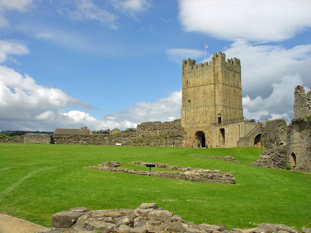
Richmond Castle

Richmond Castle in Richmond, North Yorkshire, England, stands in a commanding position above the River Swale, close to the centre of the town of Richmond...

Nearby Amenities

Located within 500m of 54.400638,-1.7835937
Under Bank
Place: isolated_dwelling
Lat/Long: 54.4013677/-1.7816136
Building: yes
Lat/Long: 54.3978184/-1.7896143
Place: farm
Lat/Long: 54.3988365/-1.7888311
Place: farm
Lat/Long: 54.3992674/-1.7861274
Building: yes
Lat/Long: 54.3980682/-1.7851833
Ford: yes
Lat/Long: 54.4004131/-1.7809893
Foot: yes
Ford: yes
Motor Vehicle: no
Lat/Long: 54.4025884/-1.7844057
Generator Method: photovoltaic
Generator Output Electricity: yes
Generator Source: solar
Generator Type: solar_photovoltaic_panel
Location: roof
Power: generator
Lat/Long: 54.40192/-1.7776488
Ford: yes
Lat/Long: 54.3997145/-1.7819995
Ford: yes
Lat/Long: 54.4014258/-1.7859176
Ford: yes
Lat/Long: 54.4002809/-1.7767186
The data included in this document is from www.openstreetmap.org. The data is made available under ODbL.

Have you been to Spring Wood?

Leave your review of Spring Wood below (or comments, questions and feedback).