Critchley Wood
Wood, Forest in Derbyshire Derbyshire Dales
England
Critchley Wood

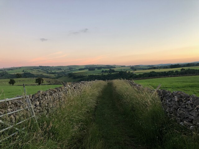
Critchley Wood is a picturesque forest located in Derbyshire, a county in the East Midlands region of England. Covering an area of approximately 100 acres, the woodland is situated near the small village of Critchley, offering visitors a peaceful escape into nature.
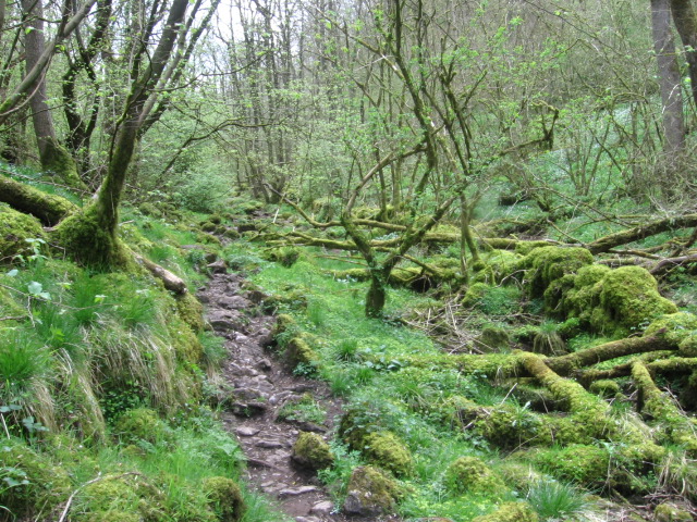
The wood is predominantly made up of broadleaf trees, including oak, beech, and birch, which create a dense canopy overhead, providing shade during the summer months. The forest floor is covered in a carpet of ferns, wildflowers, and mosses, adding to the enchanting atmosphere of the wood.
Critchley Wood is home to a diverse range of wildlife, making it a popular spot for nature enthusiasts and birdwatchers. Visitors may be lucky enough to spot various species of birds, including woodpeckers, owls, and thrushes. Other animals that can be found in the woodland include badgers, foxes, and squirrels.
The wood is crisscrossed with a network of well-maintained footpaths, allowing visitors to explore and enjoy the beauty of their surroundings. These paths lead visitors through the heart of the forest, passing by babbling brooks, bubbling springs, and tranquil ponds, adding to the charm and serenity of the area.
Critchley Wood is a haven for those seeking peace and tranquility, offering a respite from the hustle and bustle of everyday life. Whether it is a leisurely walk, birdwatching, or simply enjoying the natural beauty, this woodland provides a delightful experience for all who visit.
If you have any feedback on the listing, please let us know in the comments section below.
Critchley Wood Images
Images are sourced within 2km of 53.260037/-1.7900616 or Grid Reference SK1473. Thanks to Geograph Open Source API. All images are credited.


Critchley Wood is located at Grid Ref: SK1473 (Lat: 53.260037, Lng: -1.7900616)
Administrative County: Derbyshire
District: Derbyshire Dales
Police Authority: Derbyshire
What 3 Words
///singles.panicking.weeds. Near Tideswell, Derbyshire
Nearby Locations
Related Wikis

Millers Dale
Millers Dale (Ordnance Survey: Miller's Dale) is a valley on the River Wye in Derbyshire, England, where there is also a hamlet of the same name. It is...

Millers Dale railway station
Millers Dale railway station was situated in Millers Dale, near Tideswell, in the Peak District. == History == It was built in 1863 by the Midland Railway...
Monk's Dale
Monk's Dale is a short steep-sided dry gorge near Buxton, Derbyshire, in the Peak District of England. The dale is cut into a plateau of farmland and lies...

Tideswell Dale
Tideswell Dale is a short dry limestone valley near Tideswell village, Derbyshire, in the Peak District of England. There is a farmland plateau on either...

Hubble (climb)
Hubble is a short 10-metre (33 ft) bolted sport climb at the limestone crag of Raven Tor in Miller's Dale, in the Peak District in Derbyshire, England...

Priestcliffe
Priestcliffe is a hamlet in Derbyshire, England. The hamlet falls within the civil parish of Taddington. It is about 1.2 km (or 0.75 miles) north of Taddington...
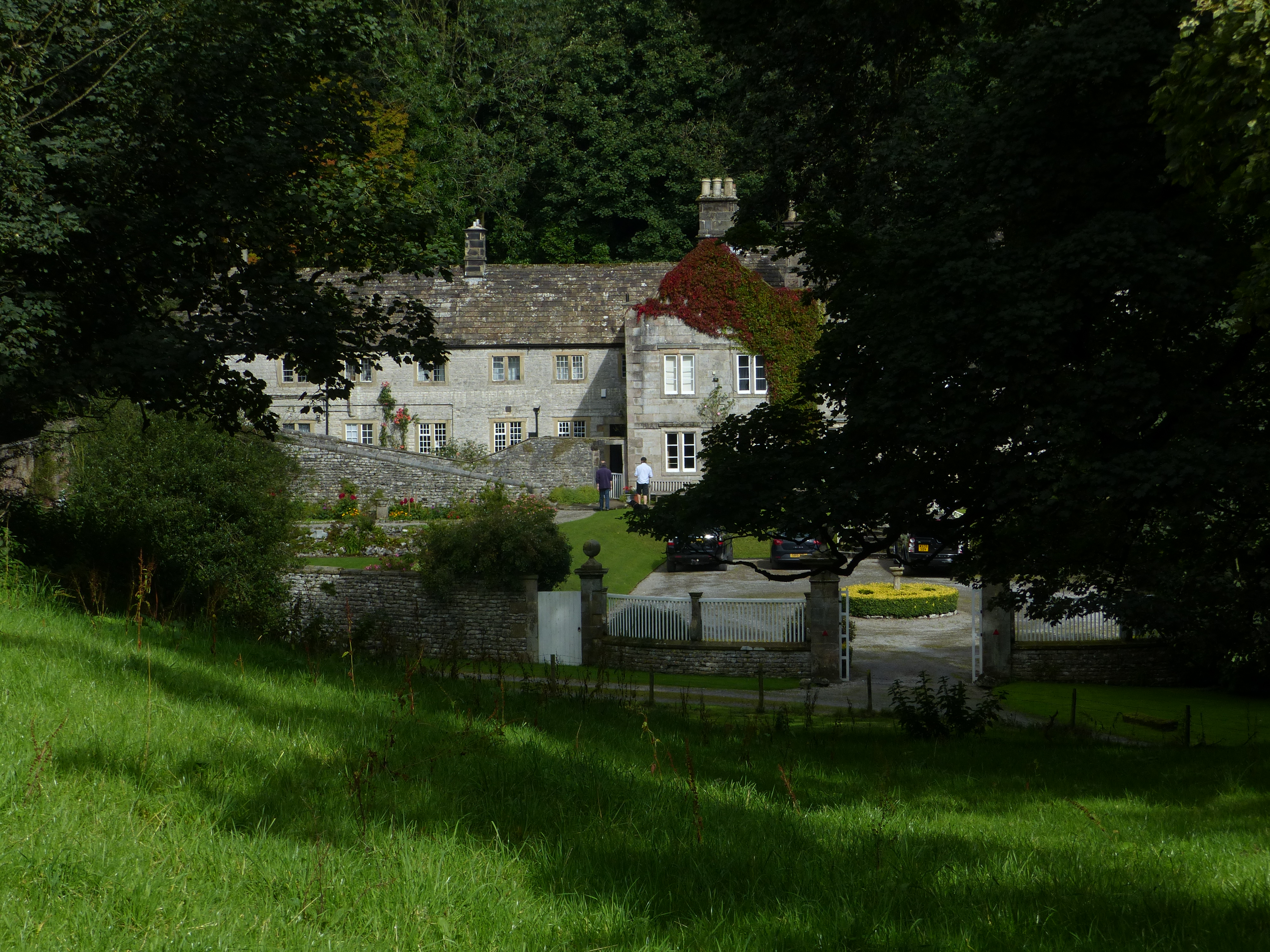
Wormhill Hall
Wormhill Hall is a 17th-century grade II* listed country hall in Wormhill, Derbyshire. == History == The current Wormhill Hall was constructed in 1697...
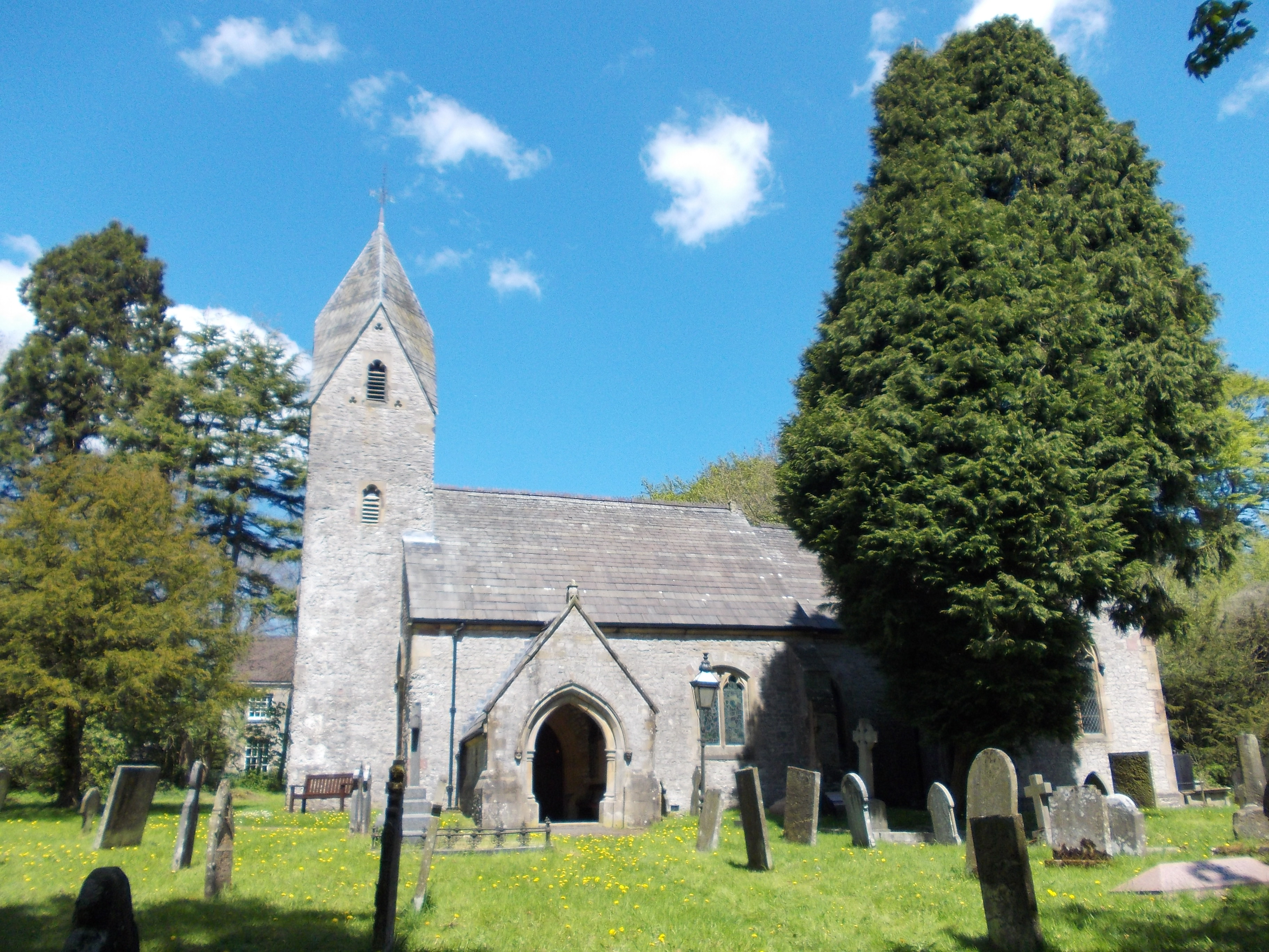
St Margaret's Church, Wormhill
St Margaret's Church, Wormhill is a Grade II* listed parish church in the Church of England in Wormhill, Derbyshire. == History == The medieval chapel...
Nearby Amenities
Located within 500m of 53.260037,-1.7900616Have you been to Critchley Wood?
Leave your review of Critchley Wood below (or comments, questions and feedback).