Burton House Plantation
Wood, Forest in Durham
England
Burton House Plantation
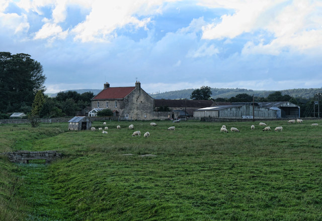
Burton House Plantation is a historic property located in Durham, North Carolina. Situated in a wooded area known as the Durham Forest, the plantation covers a vast expanse of land and is known for its picturesque beauty and rich history.
The plantation was established in the early 19th century by the Burton family, who were prominent landowners in the region. The main house, a classic example of Southern plantation architecture, still stands today and serves as a testament to the grandeur and elegance of the era.
Surrounded by a dense forest, the plantation offers a tranquil and secluded setting, making it a popular destination for nature enthusiasts and history buffs alike. The forest itself is home to a diverse range of flora and fauna, including towering oak trees, vibrant wildflowers, and various species of birds and animals.
Visitors to Burton House Plantation can explore the grounds and take in the beauty of the surrounding landscape. Guided tours are available, providing an opportunity to learn about the history of the plantation and the families who lived there. The plantation also hosts events and activities throughout the year, such as outdoor concerts, art exhibits, and nature walks.
Overall, Burton House Plantation is a cherished landmark in Durham, offering a glimpse into the region's past and providing a peaceful retreat for visitors to enjoy the natural beauty of the Durham Forest.
If you have any feedback on the listing, please let us know in the comments section below.
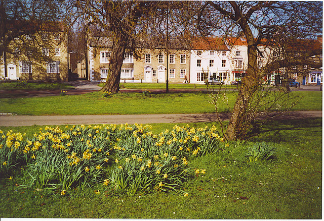
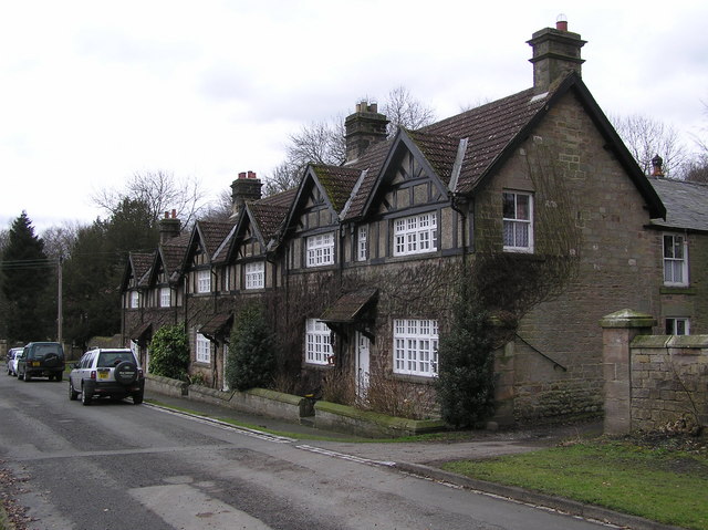
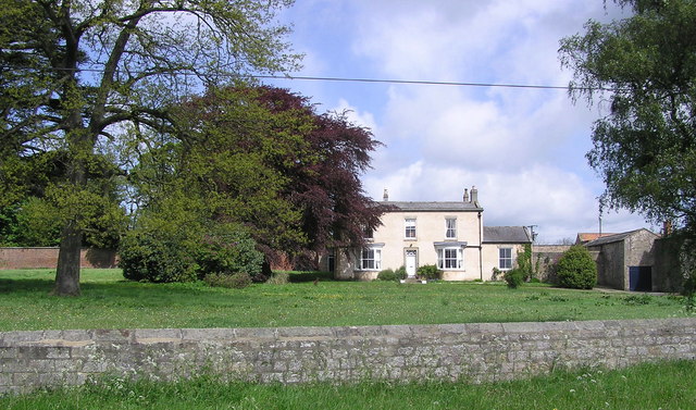
Burton House Plantation Images
Images are sourced within 2km of 54.587767/-1.7856371 or Grid Reference NZ1321. Thanks to Geograph Open Source API. All images are credited.


Burton House Plantation is located at Grid Ref: NZ1321 (Lat: 54.587767, Lng: -1.7856371)
Unitary Authority: County Durham
Police Authority: Durham
What 3 Words
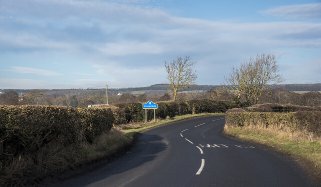
///mammals.heightens.petrified. Near Staindrop, Co. Durham
Related Wikis
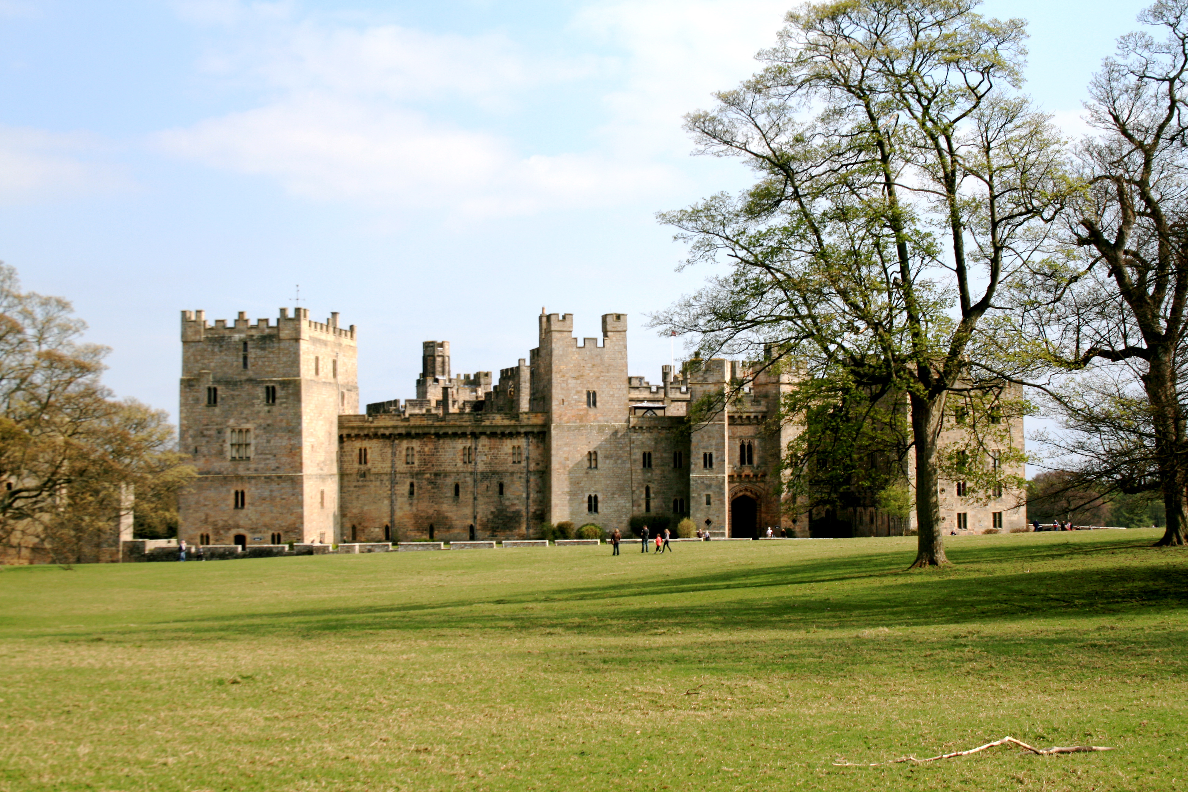
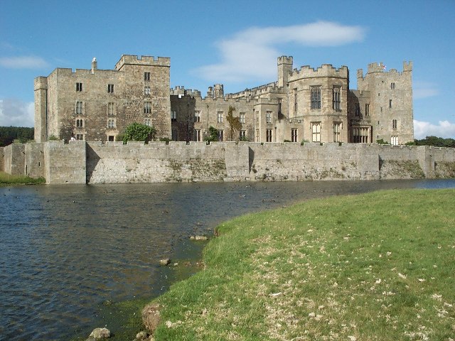
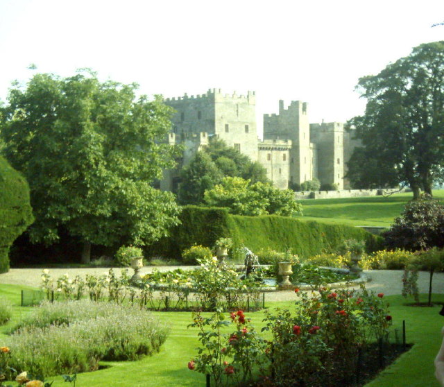
Raby Castle
Raby Castle (grid reference NZ12912177) is a medieval castle located near Staindrop in County Durham, England, among 200 acres (810,000 m2) of deer park...

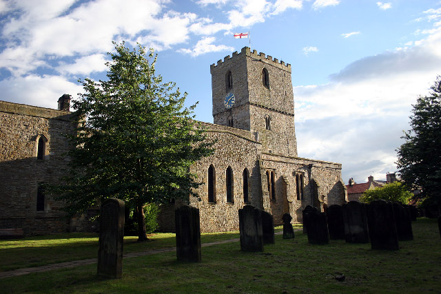
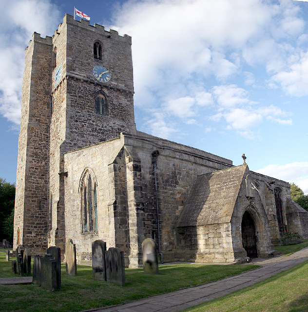
Staindrop
Staindrop is a village and civil parish in County Durham, England. It is situated approximately 6 miles (9.7 km) north east of Barnard Castle, on the A688...

Wackerfield
Wackerfield is a hamlet in County Durham, in England. It is situated to the north west of Darlington. At the 2011 Census the population was less than 100...
Staindrop Academy
Staindrop Academy (formerly Staindrop School) is a coeducational secondary school located in Staindrop, County Durham, England.Previously a community school...
Hilton, County Durham
Hilton is a village and civil parish in County Durham, about 9 miles (14 km) northwest of Darlington. Nearby places are Ingleton and Staindrop. The 2011...
Esperley Lane Ends
Esperley Lane Ends is a village in County Durham, in England. It is situated a few miles to the north west of Darlington, between Cockfield and Evenwood...

Cockfield, County Durham
Cockfield is a village on the edge of Teesdale, County Durham, England. It is situated 8 miles to the south-west of Bishop Auckland, 15 miles (24 km) north...
Lands railway station
Lands railway station served the hamlet of Low Lands, County Durham, England, from 1858 to 1872 on the Haggerleases branch of the Stockton and Darlington...
Nearby Amenities
Located within 500m of 54.587767,-1.7856371Have you been to Burton House Plantation?
Leave your review of Burton House Plantation below (or comments, questions and feedback).