Cockley Wood
Wood, Forest in Staffordshire East Staffordshire
England
Cockley Wood
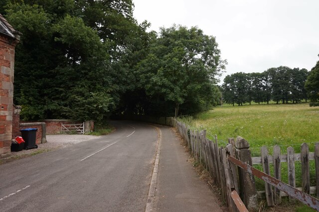
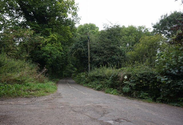
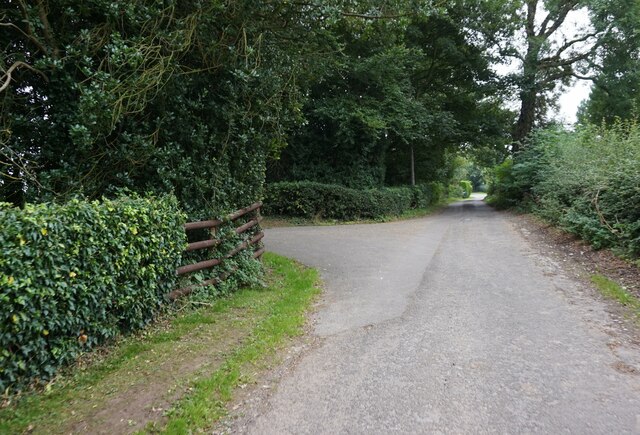
Cockley Wood is a picturesque woodland located in the county of Staffordshire, England. Spread over an area of approximately 30 hectares, it is a designated Site of Special Scientific Interest (SSSI) due to its rich biodiversity and historical significance. This ancient woodland is situated near the village of Cocknage, just a few miles southeast of the city of Stafford.
The wood is primarily composed of native broadleaf trees, including oak, ash, birch, and beech. These towering trees create a dense canopy that allows only dappled sunlight to filter through to the woodland floor, creating a cool and tranquil atmosphere. The forest floor is adorned with a diverse range of flora, such as bluebells, wood anemones, and wild garlic, which carpet the ground during the spring.
Cockley Wood is home to a variety of wildlife, including several rare and protected species. Birds such as woodpeckers, tawny owls, and great spotted woodpeckers can be spotted amongst the trees, while mammals like badgers, foxes, and deer can be glimpsed foraging in the undergrowth. The wood also boasts a rich insect population, with butterflies, dragonflies, and beetles all thriving in this natural haven.
In addition to its natural beauty, Cockley Wood has historical significance, with archaeological evidence suggesting human activity in the area dating back to the Bronze Age. The wood also contains the remnants of a medieval settlement, including an old moat and the remains of a building.
Cockley Wood offers visitors a peaceful retreat from the hustle and bustle of everyday life, providing an opportunity to immerse oneself in the beauty of nature and explore the rich history of the area.
If you have any feedback on the listing, please let us know in the comments section below.
Cockley Wood Images
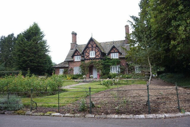
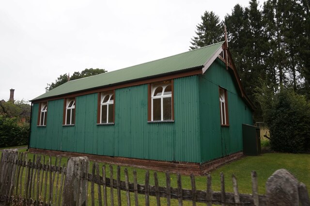
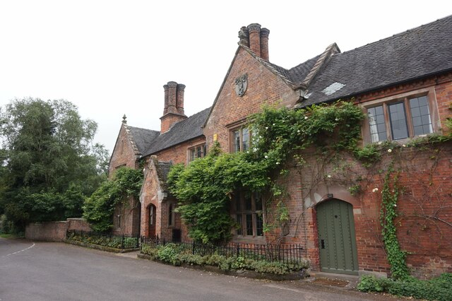
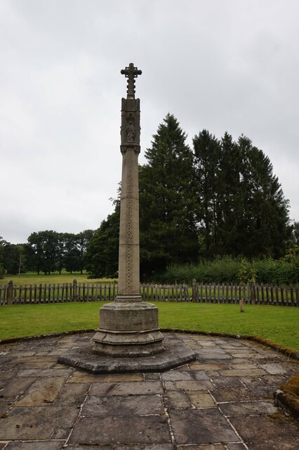
Images are sourced within 2km of 52.991596/-1.79412 or Grid Reference SK1343. Thanks to Geograph Open Source API. All images are credited.


Cockley Wood is located at Grid Ref: SK1343 (Lat: 52.991596, Lng: -1.79412)
Administrative County: Staffordshire
District: East Staffordshire
Police Authority: Staffordshire
What 3 Words
///sparks.scanning.occupations. Near Mayfield, Staffordshire
Nearby Locations
Related Wikis

Calwich Abbey
Calwich Abbey, previously Calwich Priory, was in turn the name of a medieval Augustinian priory and two successive country houses built on the same site...
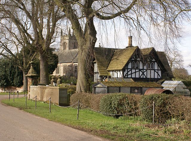
Snelston
Snelston is a village and civil parish three miles south-west of Ashbourne in Derbyshire, England. It includes Anacrehill. The population of the civil...

Roston
Roston is a hamlet in Derbyshire, England. It is located north of Rocester. The Roston Inn (known locally as 'The Shant') is at the junction of Mill Lane...

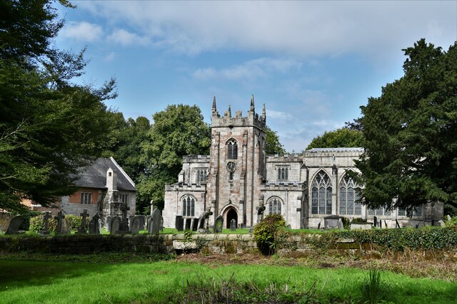
St Peter's Church, Snelston
St Peter's Church, Snelston is a Grade II* listed parish church in the Church of England: 319 in Snelston, Derbyshire. == History == The church dates...
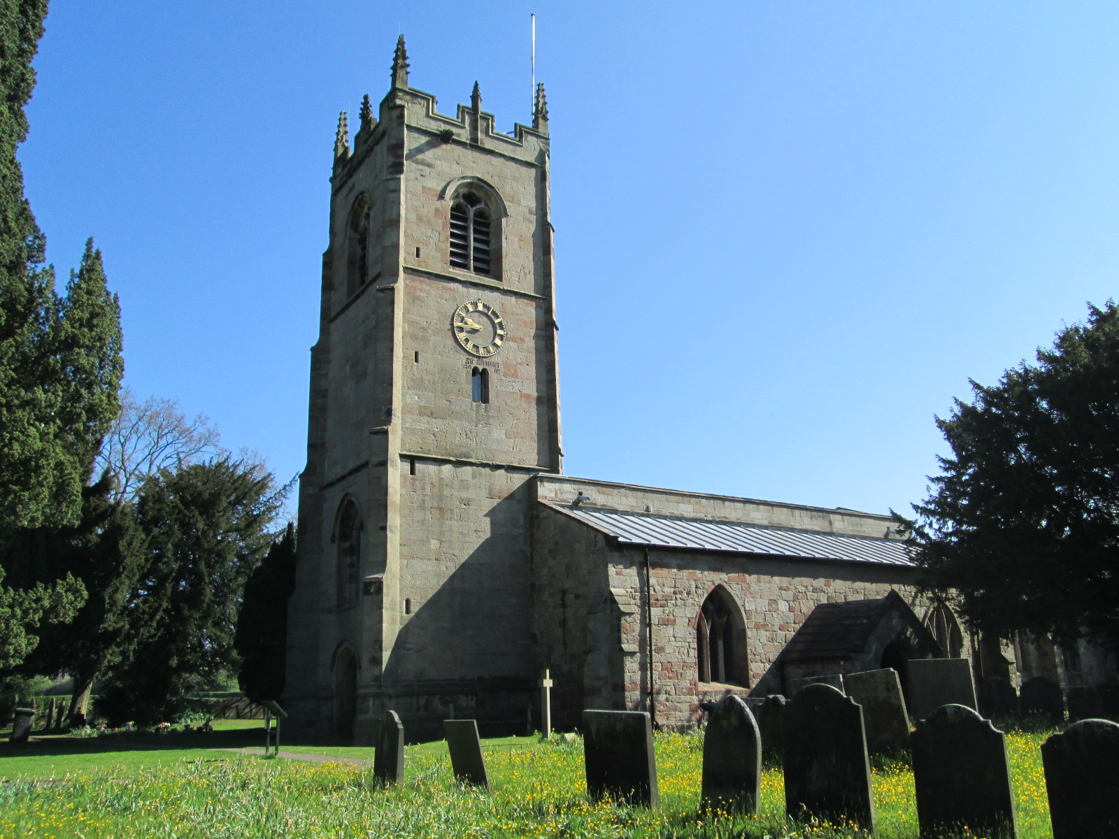
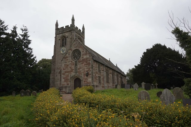
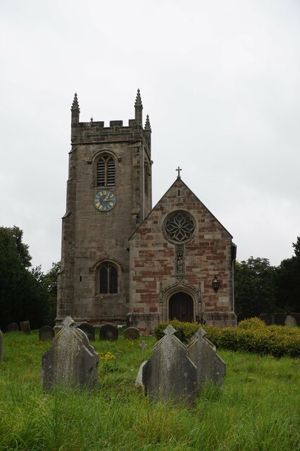
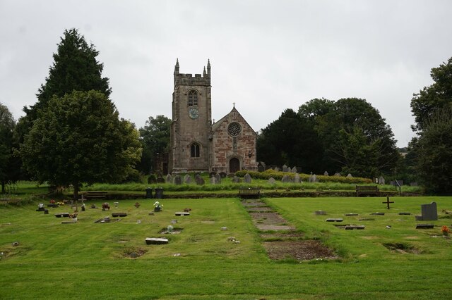
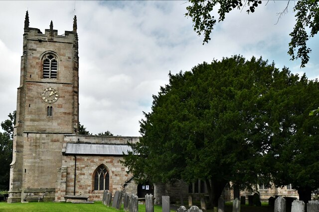
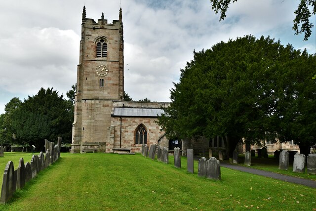
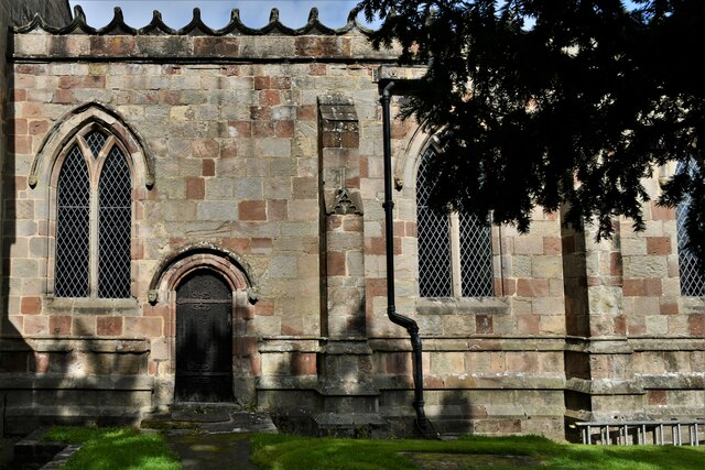
St John the Baptist's Church, Mayfield
St John the Baptist's Church is an Anglican church in the village of Mayfield, Staffordshire, England. It is a Grade I listed building. The core is a Norman...

St Mary and St Barlock's Church, Norbury
St Mary and St Barlock's Church, Norbury is a Grade I listed parish church in the Church of England: 289 in Norbury, Derbyshire. == History == The present...
Norbury and Roston
Norbury with Roston is a civil parish in west Derbyshire incorporating the villages of Norbury and Roston. == See also == Listed buildings in Norbury and...
Norbury, Derbyshire
Norbury is a village in Derbyshire, England. It is located 3 miles (4.8 km) north of Rocester, on the B5033 road and the River Dove (which is the traditional...
Nearby Amenities
Located within 500m of 52.991596,-1.79412Have you been to Cockley Wood?
Leave your review of Cockley Wood below (or comments, questions and feedback).