Claylodge Coppice
Wood, Forest in Gloucestershire Cotswold
England
Claylodge Coppice
Claylodge Coppice is a picturesque woodland located in the county of Gloucestershire, England. Situated on the outskirts of the village of Claylodge, this forested area covers approximately 100 acres of land. It is known for its diverse range of tree species and tranquil atmosphere, making it a popular destination for nature lovers and outdoor enthusiasts.
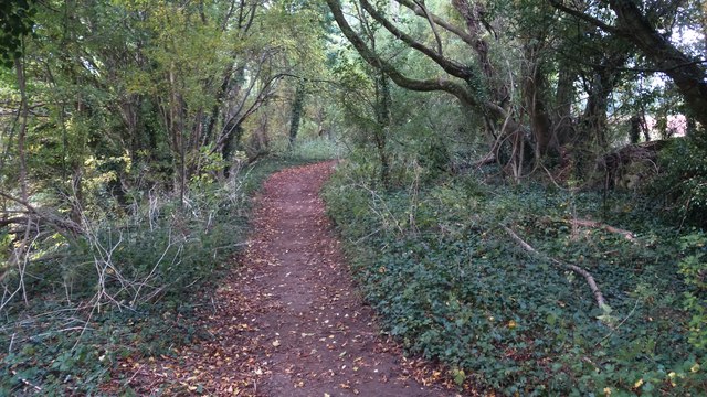
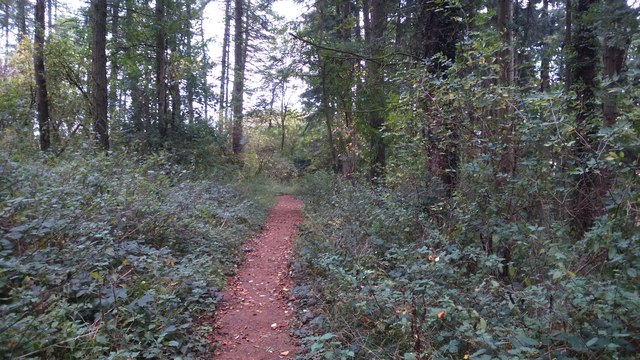
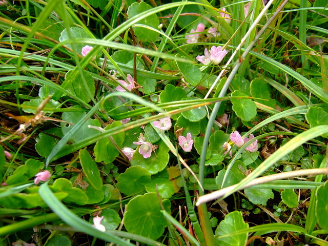
The woodland is predominantly composed of deciduous trees, including oak, beech, and birch, which create a stunning display of colors during the autumn months. Walking through the forest, visitors can enjoy the rustling of leaves underfoot and the soothing sounds of birdsong, creating a peaceful and natural ambiance.
Claylodge Coppice is also home to a variety of wildlife, providing a rich habitat for many species. Squirrels can often be spotted scampering between the trees, while birdwatchers may catch a glimpse of woodpeckers, nuthatches, and various songbirds.
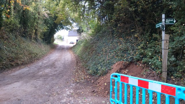
Several well-maintained trails wind through the woodland, allowing visitors to explore the area at their leisure. These paths provide opportunities for hiking, jogging, and even horseback riding, making Claylodge Coppice a popular destination for outdoor activities.
The forest is managed by the local authorities, who ensure the preservation of the natural environment while also providing amenities for visitors. These include designated picnic areas, information boards, and even a small visitor center where guests can learn more about the history and ecology of the woodland.
Overall, Claylodge Coppice offers a serene and idyllic setting for those seeking a peaceful retreat in the heart of Gloucestershire's natural beauty.
If you have any feedback on the listing, please let us know in the comments section below.
Claylodge Coppice Images
Images are sourced within 2km of 51.880643/-1.7992994 or Grid Reference SP1320. Thanks to Geograph Open Source API. All images are credited.


Claylodge Coppice is located at Grid Ref: SP1320 (Lat: 51.880643, Lng: -1.7992994)
Administrative County: Gloucestershire
District: Cotswold
Police Authority: Gloucestershire
What 3 Words
///hears.searcher.responds. Near Bourton on the Water, Gloucestershire
Nearby Locations
Related Wikis
Cold Aston
Cold Aston (also known as Aston Blank) is a village and civil parish in Gloucestershire, England, approximately 18 miles (29 km) to the east of Gloucester...
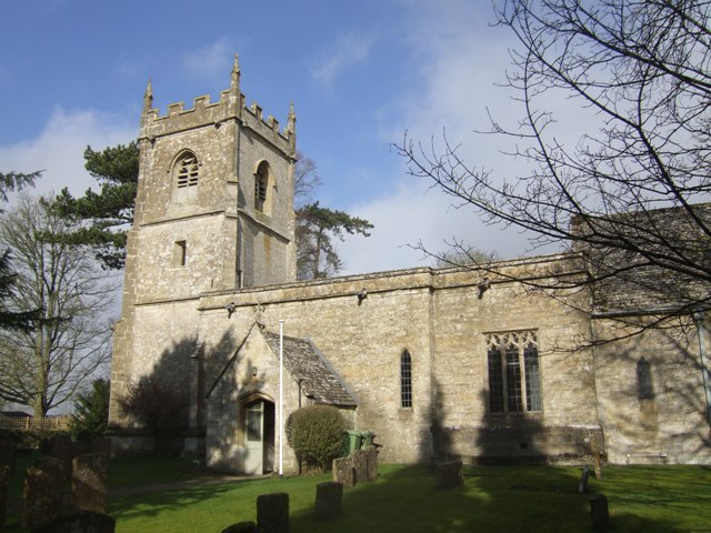
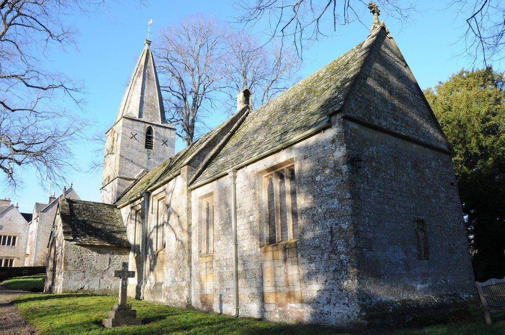
Church of St Andrew, Cold Aston
The Anglican St Andrew's Church at Cold Aston in the Cotswold District of Gloucestershire, England was built in the 12th century. It is a grade I listed...

Harford Railway Cutting
Harford Railway Cutting (SP135218 to SP141215) is a 1.2-hectare (3.0-acre) geological Site of Special Scientific Interest in Gloucestershire, notified...
Brassey SSSI
Brassey (grid reference SP139223) is a 2.1-hectare (5.2-acre) biological Site of Special Scientific Interest in Gloucestershire, notified in 1954 and renotified...
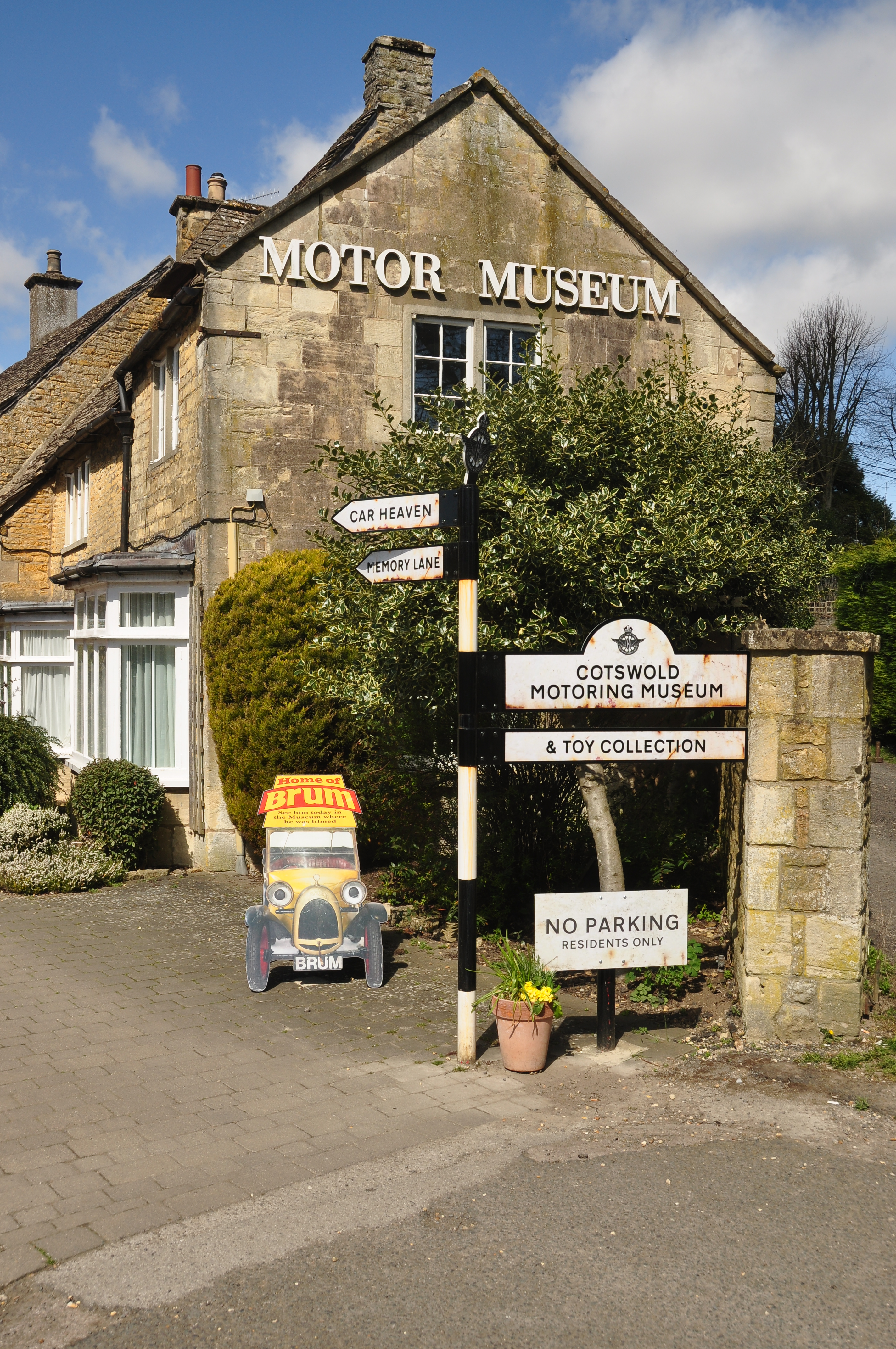
Cotswold Motoring Museum
The Cotswold Motoring Museum is a museum in the Cotswolds village of Bourton-on-the-Water, Gloucestershire, England. It features motoring history of the...
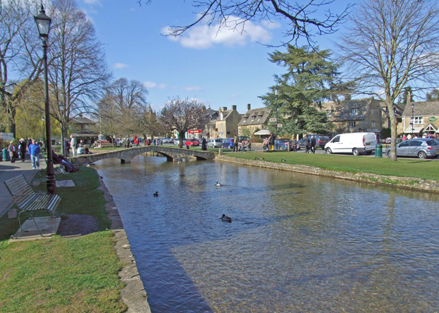
Bourton-on-the-Water
Bourton-on-the-Water is a village and civil parish in Gloucestershire, England, that lies on a wide flat vale within the Cotswolds Area of Outstanding...

The Cotswold School
The Cotswold School is an 11 to 18 academy school located in Bourton-on-the-Water, Gloucestershire, Great Britain. The school achieved academy status in...
Church of St Bartholomew, Notgrove
The Anglican Church of St Bartholomew at Notgrove in the Cotswold District of Gloucestershire, England was built in the 12th century. It is a grade I listed...
Nearby Amenities
Located within 500m of 51.880643,-1.7992994Have you been to Claylodge Coppice?
Leave your review of Claylodge Coppice below (or comments, questions and feedback).