Low Furrow Wood

Wood, Forest in Gloucestershire Wychavon

England

Low Furrow Wood

View towards Long Marston rail depot Looking NNE from the railway bridge on Long Marston Road.
View towards Long Marston rail depot Credit: David P Howard

Low Furrow Wood is a charming woodland located in the county of Gloucestershire in England. Spread over an area of approximately 50 acres, it is nestled amidst the picturesque countryside, offering a tranquil retreat for nature enthusiasts and outdoor lovers alike.

The wood features a diverse range of tree species, including oak, ash, beech, and birch, creating a rich and vibrant ecosystem. The canopy of these majestic trees provides a shady and cool atmosphere, perfect for leisurely walks and exploration. The forest floor is covered with a lush carpet of moss, ferns, and wildflowers, adding to its natural beauty.

Low Furrow Wood is home to a variety of wildlife, making it a haven for animal lovers and birdwatchers. Visitors may have the opportunity to spot deer, foxes, badgers, and a multitude of bird species, including woodpeckers, owls, and various songbirds.

There are several well-maintained footpaths and trails that wind through the wood, offering visitors the chance to explore its hidden nooks and crannies. These paths are suitable for all levels of fitness and provide a pleasant and serene environment for walking, jogging, or cycling.

The wood is a popular destination for nature education and conservation programs, attracting school groups and organizations interested in learning about the local flora and fauna. Additionally, it serves as a peaceful retreat for individuals seeking solace and relaxation amidst nature's beauty.

Overall, Low Furrow Wood is a delightful woodland that showcases the natural splendor of Gloucestershire, providing a serene refuge for visitors to immerse themselves in the tranquility and serenity of the great outdoors.

If you have any feedback on the listing, please let us know in the comments section below.

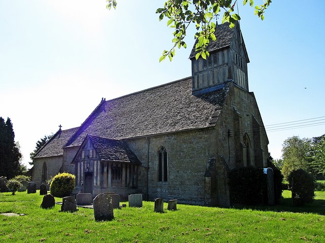
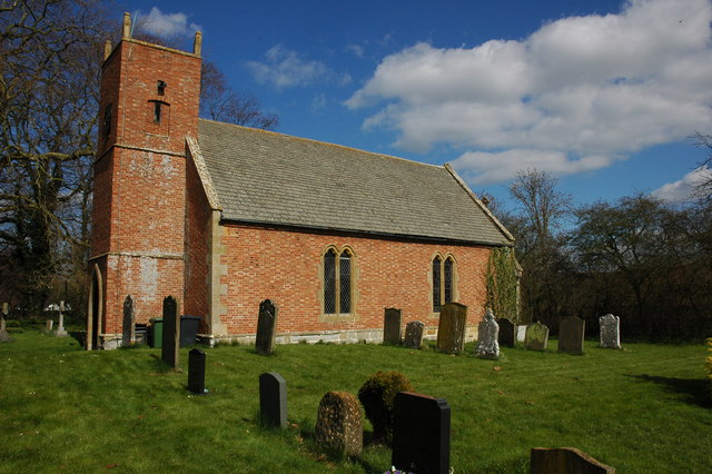
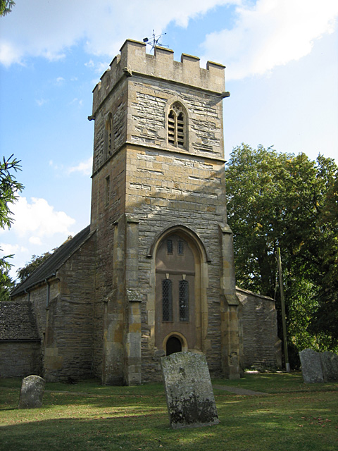
Low Furrow Wood Images

Images are sourced within 2km of 52.13444/-1.7981916 or Grid Reference SP1348. Thanks to Geograph Open Source API. All images are credited.

View towards Long Marston rail depot Looking NNE from the railway bridge on Long Marston Road.
View towards Long Marston rail depot
Looking NNE from the railway bridge on Long Marston Road.
View from the bridge Looking south west from the railway bridge on Long Marston Road.
View from the bridge
Looking south west from the railway bridge on Long Marston Road.
Driveway to Crabtree Farm The driveway to Crabtree Farm which is also a public footpath, leaves Dorsington Lane heading west.
Driveway to Crabtree Farm
The driveway to Crabtree Farm which is also a public footpath, leaves Dorsington Lane heading west.
Gate number 99 View south west on the footpath from Crabtree Farm.
All the gates in this area have numbers on them.
Gate number 99
View south west on the footpath from Crabtree Farm. All the gates in this area have numbers on them.
Driveway to Crabtree Farm The driveway to the farm is also a public footpath.
Driveway to Crabtree Farm
The driveway to the farm is also a public footpath.
Outbuildings at Crabtree Farm View east from the public footpath running through the farm.
Outbuildings at Crabtree Farm
View east from the public footpath running through the farm.
Footpath through fields near Crabtree Farm Looking WSW along the route of a footpath across the field.
Footpath through fields near Crabtree Farm
Looking WSW along the route of a footpath across the field.
Beck's Wood, Heart of England Forest This area of native forest planted in 2010 is part of the Heart of England Forest Project.<span class="nowrap"><a title="https://www.heartofenglandforest.com/" rel="nofollow ugc noopener" href="https://www.heartofenglandforest.com/">Link</a><img style="margin-left:2px;" alt="External link" title="External link - shift click to open in new window" src="https://s1.geograph.org.uk/img/external.png" width="10" height="10"/></span>
"to plant and preserve a large native forest in the heart of England"
Taken from the footpath to Crabtree Farm.
Beck's Wood, Heart of England Forest
This area of native forest planted in 2010 is part of the Heart of England Forest Project.LinkExternal link "to plant and preserve a large native forest in the heart of England" Taken from the footpath to Crabtree Farm.
View from the bench A lone bench beside the footpath to Crabtree Farm looks to the south across Beck's Wood, a recently planted area of native forest as part of the Heart of England Forest Project.<span class="nowrap"><a title="https://www.heartofenglandforest.com/" rel="nofollow ugc noopener" href="https://www.heartofenglandforest.com/">Link</a><img style="margin-left:2px;" alt="External link" title="External link - shift click to open in new window" src="https://s1.geograph.org.uk/img/external.png" width="10" height="10"/></span>.
View from the bench
A lone bench beside the footpath to Crabtree Farm looks to the south across Beck's Wood, a recently planted area of native forest as part of the Heart of England Forest Project.LinkExternal link.
Footbridge over a stream Footbridge on the footpath to Crabtree Farm.
Footbridge over a stream
Footbridge on the footpath to Crabtree Farm.
Alternative footpath route The route of the footpath as marked on the map goes tight round an isolated dwelling. This more direct route has been provided south of the small stream.
Alternative footpath route
The route of the footpath as marked on the map goes tight round an isolated dwelling. This more direct route has been provided south of the small stream.
Vast stubble field View southwest across a vast field with a huge sky.
Vast stubble field
View southwest across a vast field with a huge sky.
Footpath to Little Dorsington The footpath at this point is tightly constrained by the fence, which makes navigating round overgrowing bushes quite tricky.
Footpath to Little Dorsington
The footpath at this point is tightly constrained by the fence, which makes navigating round overgrowing bushes quite tricky.
Site of Long Marston station, 2007 View northward, towards Stratford-on- Avon and Birmingham, ex-GWR Cheltenham - Honeybourne - Stratford - Birmingham main line. The station here was closed 3/1/66, but until August 1976 when the through route closed to freight (to passengers a year earlier), only a stub was left to serve the large Ministry of Defence Depot here from Honeybourne - to the south here, behind the camera. (Cf. <a href="https://www.geograph.org.uk/photo/1982757">SP1547 : Stratford-upon-Avon Greenway</a> (by Phillip Halling) and other views).
Site of Long Marston station, 2007
View northward, towards Stratford-on- Avon and Birmingham, ex-GWR Cheltenham - Honeybourne - Stratford - Birmingham main line. The station here was closed 3/1/66, but until August 1976 when the through route closed to freight (to passengers a year earlier), only a stub was left to serve the large Ministry of Defence Depot here from Honeybourne - to the south here, behind the camera. (Cf. SP1547 : Stratford-upon-Avon Greenway (by Phillip Halling) and other views).
Site of Long Marston station, 2007 View southward, opposite my <a href="https://www.geograph.org.uk/photo/5562103">SP1547 : Site of Long Marston station, 2007</a> - which see for more detail, and an entry to the MoD Long Marston Depot off Station Road.
Site of Long Marston station, 2007
View southward, opposite my SP1547 : Site of Long Marston station, 2007 - which see for more detail, and an entry to the MoD Long Marston Depot off Station Road.
Long Marston Church St James The Great.
Long Marston Church
St James The Great.
Dorsington Thatched Cottage On Dorsington Road.
Dorsington Thatched Cottage
On Dorsington Road.
Show me another place!

Low Furrow Wood is located at Grid Ref: SP1348 (Lat: 52.13444, Lng: -1.7981916)

Administrative County: Worcestershire

District: Wychavon

Police Authority: West Mercia

What 3 Words

///nametag.insolvent.reds. Near Honeybourne, Worcestershire

Nearby Locations

Low Furrow Wood

Related Wikis

Dorsington

Dorsington is a village and civil parish in the Stratford-on-Avon district, in the county of Warwickshire, England. Dorsington was in Gloucestershire until...

Long Marston, Warwickshire

Long Marston is a village and civil parish about 5 miles (8 km) southwest of Stratford-upon-Avon in Warwickshire, England. The southern and western boundaries...

Marston Sicca Rural District

Marston Sicca was, from 1894 to 1931, a rural district in the administrative county of Gloucestershire, England. The district formed part of a salient...

Long Marston railway station

Long Marston railway station was a station at Long Marston, Warwickshire on the Great Western Railway line between Stratford-upon-Avon and Honeybourne...

Pebworth

Pebworth is a village and civil parish in the county of Worcestershire, lying about 5 miles north-north-west of the town of Chipping Campden in Gloucestershire...

The Priory, Pebworth

The Priory, Pebworth (Broad Marston Priory) is a listed building in the village of Pebworth, in Worcestershire, England. == References ==

Heart of England Forest

The Heart of England Forest is a charitable organisation in England, focussed on the conservation and restoration of native woodland in Warwickshire and...

Pebworth Halt railway station

Pebworth Halt railway station served the village of Pebworth, Worcestershire, England from 1937 to 1966 on the Gloucestershire Warwickshire Railway....

Nearby Amenities

Located within 500m of 52.13444,-1.7981916
Power: pole
Source: bing
Lat/Long: 52.1370738/-1.794139
Power: pole
Source: bing
Lat/Long: 52.1364334/-1.7948927
Power: pole
Ref: 772677
Source: wpd_opendata
Transformer: distribution
Lat/Long: 52.1343911/-1.7965584
Power: pole
Source: bing
Lat/Long: 52.1350496/-1.7957523
Power: pole
Source: bing
Lat/Long: 52.1351986/-1.7956826
Power: pole
Ref: 772673
Source: wpd_opendata
Transformer: distribution
Lat/Long: 52.1359123/-1.7952052
Power: pole
Source: bing
Lat/Long: 52.1367128/-1.794727
Power: pole
Source: bing
Lat/Long: 52.1374154/-1.7936656
The data included in this document is from www.openstreetmap.org. The data is made available under ODbL.

Have you been to Low Furrow Wood?

Leave your review of Low Furrow Wood below (or comments, questions and feedback).