Brocksford Gorse
Wood, Forest in Derbyshire Derbyshire Dales
England
Brocksford Gorse
Brocksford Gorse, located in Derbyshire, is a picturesque wood and forest area that spans over a significant portion of the county. Nestled amidst the stunning landscape of the Peak District National Park, this woodland is renowned for its natural beauty and diverse ecosystem.
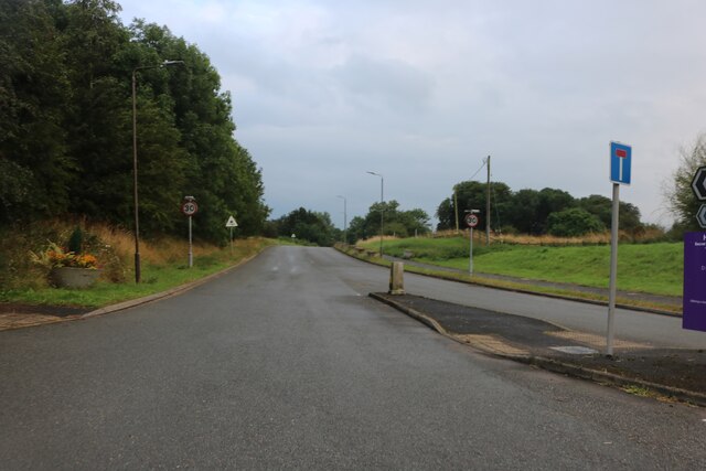
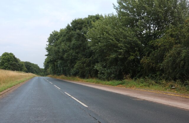
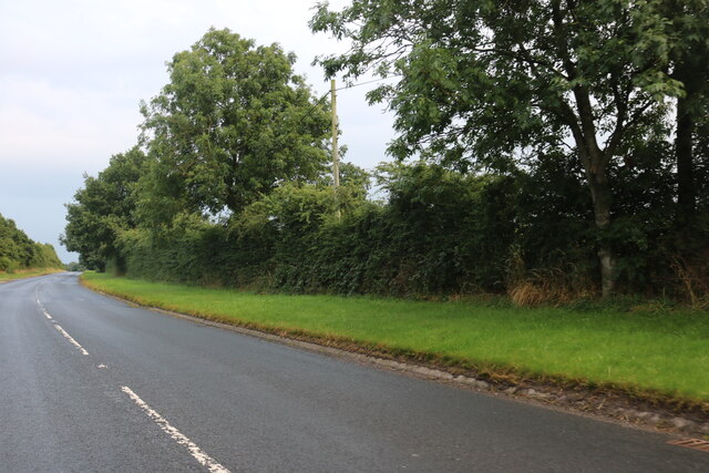
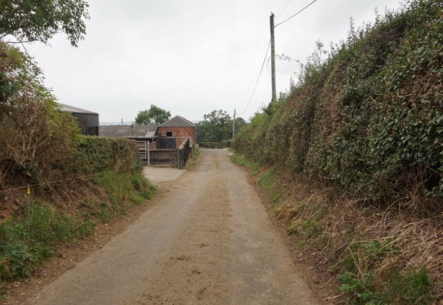
Covering an extensive area of approximately 400 hectares, Brocksford Gorse is a mix of ancient woodland, coniferous plantation, and open heathland. The wood boasts a rich history, with some parts dating back several centuries. Visitors can explore the enchanting woodland trails that wind through the dense canopy of trees, providing an opportunity for peaceful walks and wildlife spotting.
The forest is home to a wide variety of flora and fauna, including native oak, birch, and beech trees, as well as an array of wildflowers. It is also a haven for wildlife, with numerous bird species, mammals such as badgers, foxes, and deer, and a diverse range of insects and butterflies.
For nature enthusiasts, Brocksford Gorse offers an ideal setting to appreciate the beauty of the natural world. The wood is well-maintained, with designated paths and picnic areas, making it an excellent spot for outdoor activities such as hiking, birdwatching, or simply enjoying a family day out in nature.
Overall, Brocksford Gorse, Derbyshire, is a treasured woodland area, providing a tranquil escape from the hustle and bustle of everyday life. Its stunning landscapes, diverse ecosystems, and abundant wildlife make it a must-visit destination for nature lovers and those seeking a peaceful retreat in the heart of Derbyshire's natural beauty.
If you have any feedback on the listing, please let us know in the comments section below.
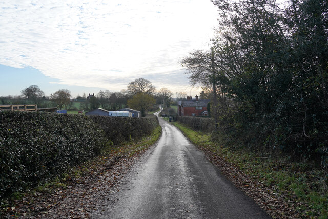
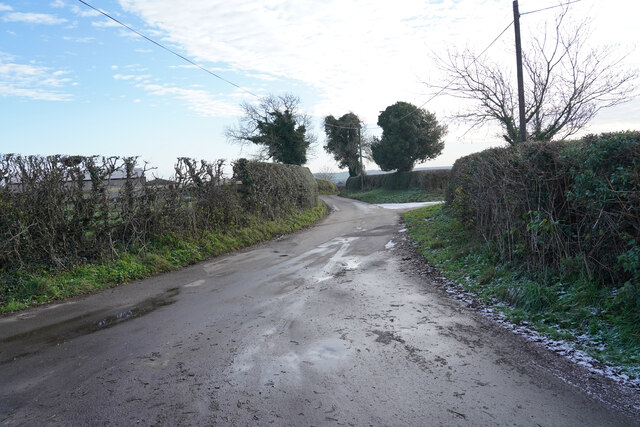
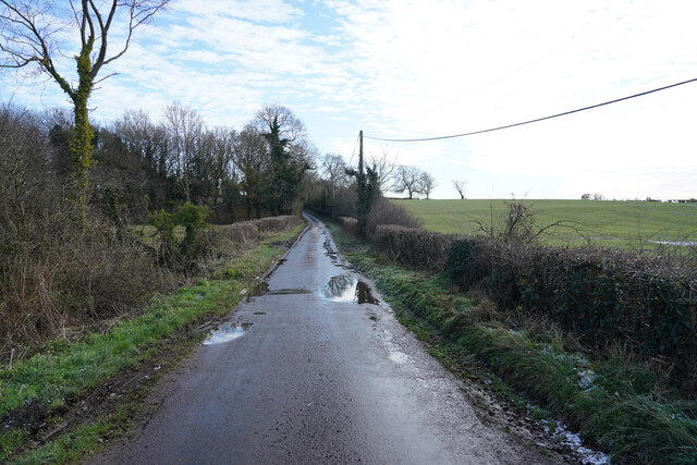
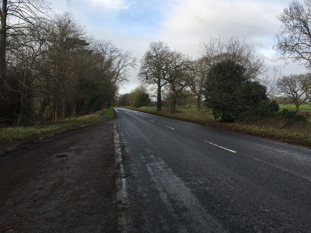
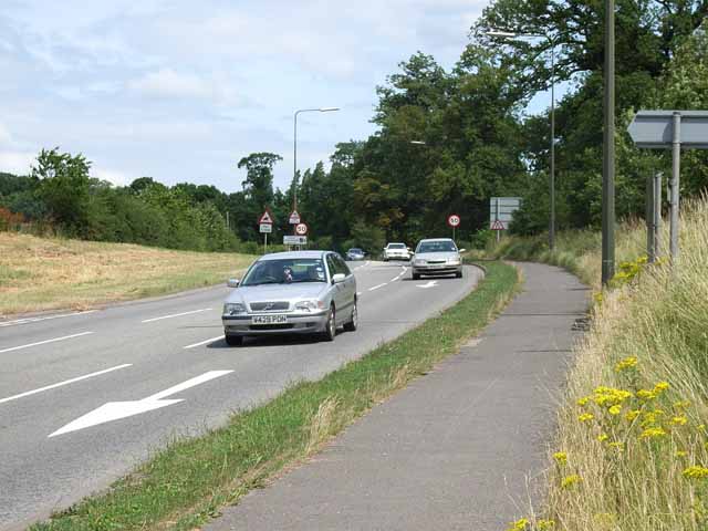
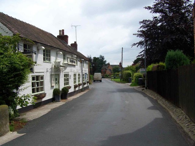
Brocksford Gorse Images
Images are sourced within 2km of 52.892954/-1.797322 or Grid Reference SK1332. Thanks to Geograph Open Source API. All images are credited.


Brocksford Gorse is located at Grid Ref: SK1332 (Lat: 52.892954, Lng: -1.797322)
Administrative County: Derbyshire
District: Derbyshire Dales
Police Authority: Derbyshire
What 3 Words
///tarnished.diagram.almost. Near Doveridge, Derbyshire
Nearby Locations
Related Wikis

M64 motorway
The United Kingdom's M64 motorway was planned during the 1970s to link the M6 at Stoke-on-Trent with the M1 near Castle Donington, by way of Uttoxeter...

Brocksford Hall
Brocksford Hall is a country house about one mile (1.6 km) east of Doveridge village, in the south west corner of Derbyshire, England. It is recorded...

Marchington railway station
Marchington railway station was a railway station in Marchington, Staffordshire which opened in 1854 and closed in 1958. It was on the Crewe to Derby Line...
Oaks Green
Oaks Green is a village in Derbyshire, England. It is in the civil parish of Doveridge. == External links == Media related to Oaks Green at Wikimedia...
Marchington
Marchington is a small village in East Staffordshire, England. It lies between the towns of Burton upon Trent and Uttoxeter. Marchington has a small...

St Peter's Church, Marchington
St Peter's Church is a Church of England church in Marchington, Staffordshire. It is the only church in the parish of St. Peter Marchington. == History... ==

HM Prison Sudbury
HM Prison Sudbury is a Category D men's prison, located in the village of Sudbury in Derbyshire, England. The prison is operated by His Majesty's Prison...

Doveridge
Doveridge is a village and civil parish in Derbyshire, United Kingdom, near the border with Staffordshire and about 2 km (1.2 mi) east of Uttoxeter. Its...
Nearby Amenities
Located within 500m of 52.892954,-1.797322Have you been to Brocksford Gorse?
Leave your review of Brocksford Gorse below (or comments, questions and feedback).