Black Plantation

Wood, Forest in Durham

England

Black Plantation

Humber Hill The trig is perched on the edge of a small quarry.
Humber Hill Credit: Richard Webb

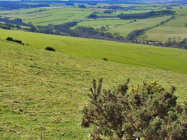
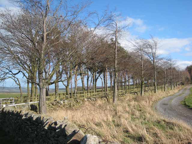
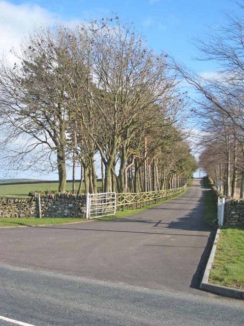
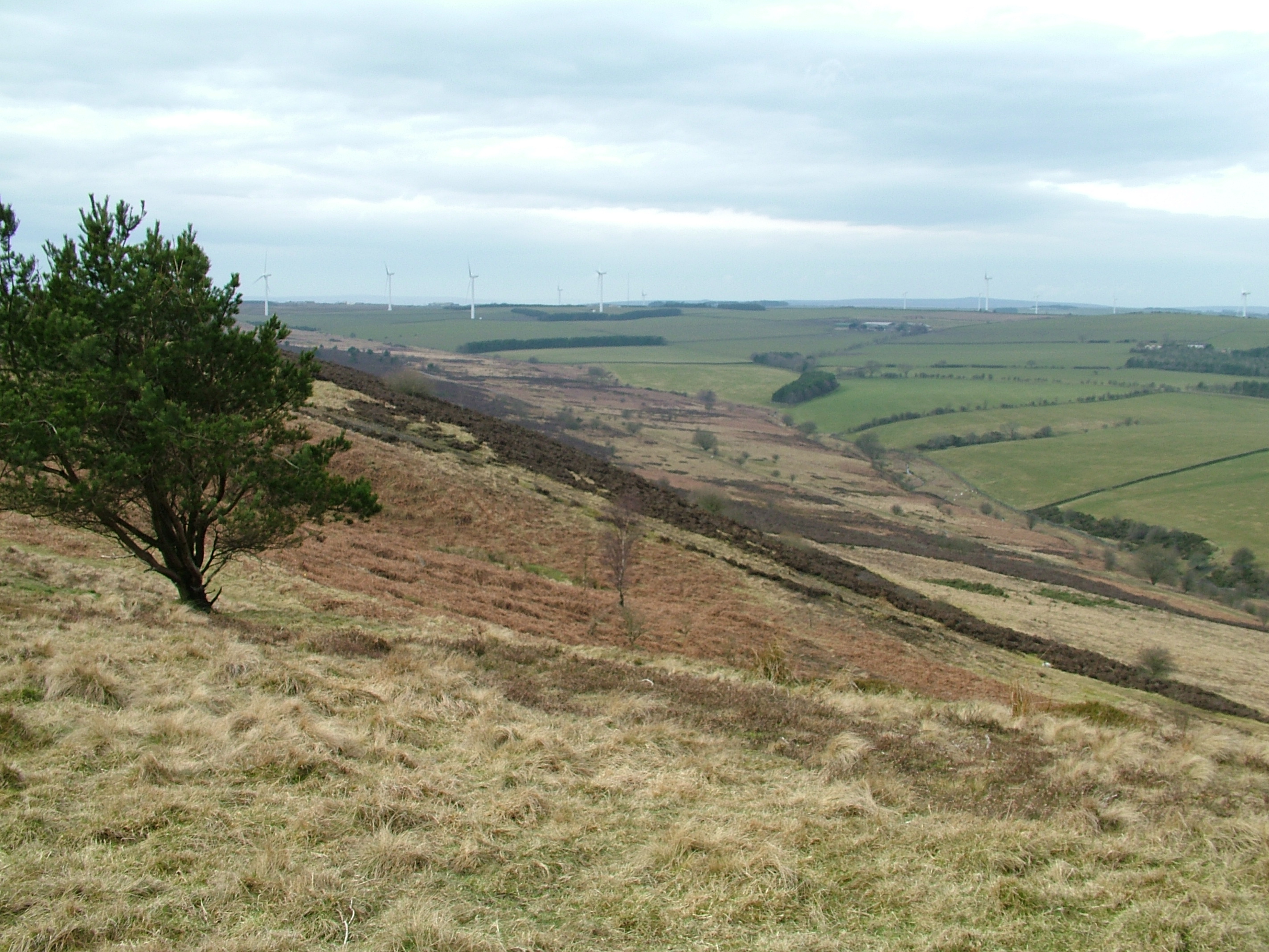
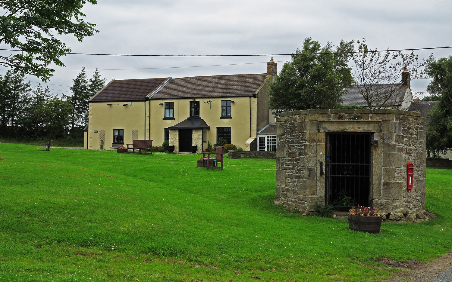
Black Plantation is a woodland area located in Durham, England. Covering an approximate area of 200 acres, it is known for its dense forest and diverse flora and fauna. The woodland is situated near the village of Wood and is easily accessible to visitors.

Black Plantation is characterized by its thick canopy of mature trees, which includes a mix of broadleaf species such as oak, beech, and birch. The woodland floor is covered with a rich carpet of ferns, mosses, and wildflowers, creating a picturesque and serene environment.

The plantation is home to a variety of wildlife species, making it a popular spot for nature enthusiasts and birdwatchers. Visitors may catch a glimpse of woodland birds like woodpeckers, owls, and tits. Small mammals like squirrels and rabbits are also commonly spotted within the woodland.

Several walking trails and footpaths crisscross the plantation, allowing visitors to explore and appreciate its natural beauty. These paths are well-maintained and clearly marked, ensuring a safe and enjoyable experience for walkers and hikers of all ages and abilities.

Black Plantation has a rich history, dating back several centuries. It was once part of a larger estate and has been managed as a woodland for many years. Efforts have been made to preserve and protect the woodland, ensuring its long-term sustainability and ecological value.

Overall, Black Plantation offers a tranquil escape from the hustle and bustle of city life, providing a haven for nature lovers and outdoor enthusiasts alike.

If you have any feedback on the listing, please let us know in the comments section below.

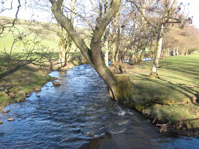
Black Plantation Images

Images are sourced within 2km of 54.798832/-1.7880384 or Grid Reference NZ1344. Thanks to Geograph Open Source API. All images are credited.

Humber Hill The trig is perched on the edge of a small quarry.
Humber Hill
The trig is perched on the edge of a small quarry.
Partridgeclose Mill Bridge over the River Browney Near Partridge Close.
Partridgeclose Mill Bridge over the River Browney
Near Partridge Close.
Valley of the Pan Burn Looking west from the Tow Law to Cornsay road
Valley of the Pan Burn
Looking west from the Tow Law to Cornsay road
The Black Horse, Cornsay village
Valley of the River Browney Looking north from a point just east of Cornsay village
Valley of the River Browney
Looking north from a point just east of Cornsay village
Valley of the River Browney Viewed from the road between Cornsay village and Wilks Hill. Lanchester in the distance, and the transmitter mast at Burnhope on the skyline
Valley of the River Browney
Viewed from the road between Cornsay village and Wilks Hill. Lanchester in the distance, and the transmitter mast at Burnhope on the skyline
Colepike Hall boundary wall The stone pillars once had iron railings between them, doubtless removed and melted down for the war effort.
Colepike Hall boundary wall
The stone pillars once had iron railings between them, doubtless removed and melted down for the war effort.
The River Browney The tree-lined watercourse of the upper River Browney, near East Butsfield, looking downstream.
The River Browney
The tree-lined watercourse of the upper River Browney, near East Butsfield, looking downstream.
Trees by the roadside at Satley By the B6296 Wolsingham to Lanchester road. Overlooking the valley of the Steeley Burn.
Trees by the roadside at Satley
By the B6296 Wolsingham to Lanchester road. Overlooking the valley of the Steeley Burn.
Green lane at Satley Leading down into the valley of the Steeley Burn.
Green lane at Satley
Leading down into the valley of the Steeley Burn.
Driveway to Hall Hill Farm The trees mark the driveway to Hall Hill Farm, a visitor farm <span class="nowrap"><a title="http://www.hallhillfarm.co.uk" rel="nofollow ugc noopener" href="http://www.hallhillfarm.co.uk">Link</a><img style="margin-left:2px;" alt="External link" title="External link - shift click to open in new window" src="https://s1.geograph.org.uk/img/external.png" width="10" height="10"/></span>.
Driveway to Hall Hill Farm
The trees mark the driveway to Hall Hill Farm, a visitor farm LinkExternal link.
Broadwood Farm
Broadwood Farm
Cottages at Broadwood Farm
Partridge Close
Partridge Close
Stobbilee Farm Looking across the valley of the Pan Burn. The roofs of Cornsay village <a href="https://www.geograph.org.uk/gridref/NZ1443">NZ1443</a> can just be seen on the skyline.
Stobbilee Farm
Looking across the valley of the Pan Burn. The roofs of Cornsay village NZ1443 can just be seen on the skyline.
Agricultural diversification - the driveway to Hall Hill Farm A visitor farm. <span class="nowrap"><a title="http://www.hallhillfarm.co.uk" rel="nofollow ugc noopener" href="http://www.hallhillfarm.co.uk">Link</a><img style="margin-left:2px;" alt="External link" title="External link - shift click to open in new window" src="https://s1.geograph.org.uk/img/external.png" width="10" height="10"/></span>
Agricultural diversification - the driveway to Hall Hill Farm
A visitor farm. LinkExternal link
Woodlea Manor, Browney Bank Woodlea Manor is a recently constructed house with the newest parts being completed in 2007. Clever use of reclaimed materials through the construction process has allowed the property to display period charm and style despite its relative immaturity.  Located near a  six-way intersection on the B6296.
Woodlea Manor, Browney Bank
Woodlea Manor is a recently constructed house with the newest parts being completed in 2007. Clever use of reclaimed materials through the construction process has allowed the property to display period charm and style despite its relative immaturity. Located near a six-way intersection on the B6296.
Trees on Broadwood Lane In the valley of the Rippon Burn.
Trees on Broadwood Lane
In the valley of the Rippon Burn.
Show me another place!

Black Plantation is located at Grid Ref: NZ1344 (Lat: 54.798832, Lng: -1.7880384)

Unitary Authority: County Durham

Police Authority: Durham

What 3 Words

///booster.basket.realm. Near Lanchester, Co. Durham

Nearby Locations

Black Plantation

Related Wikis

Hall Hill Farm

Hall Hill Farm is a tourist attraction located in County Durham, near Tow Law, England. == History == Ann Darlington is the current tourism manager at...

Hedleyhope Fell

Hedleyhope Fell is a nature reserve to the north-east of Tow Law, County Durham, England. The reserve is managed by Durham Wildlife Trust and consists...

Cornsay

Cornsay is a hamlet and civil parish in County Durham, England. The population of the Civil Parish taken at the 2011 census was 1,128. It is 6 miles (9...

Butsfield

Butsfield is a village in County Durham, England. It is situated a few miles to the south of Consett, near the village of Satley. Butsfield Burn Farm is...

Nearby Amenities

Located within 500m of 54.798832,-1.7880384
Natural: spring
Source: OS 1:25k
Lat/Long: 54.7968772/-1.7906093
Power: pole
Lat/Long: 54.8027674/-1.7894009
Power: pole
Lat/Long: 54.8022572/-1.7886177
Power: pole
Lat/Long: 54.8015321/-1.7874737
Power: pole
Lat/Long: 54.8025556/-1.7857745
Power: pole
Lat/Long: 54.8014958/-1.7874227
Power: pole
Lat/Long: 54.8008024/-1.788505
Power: pole
Lat/Long: 54.8001151/-1.7895792
Power: pole
Lat/Long: 54.7994364/-1.7904697
Power: pole
Lat/Long: 54.7987723/-1.7913629
Power: pole
Lat/Long: 54.7981268/-1.792181
Power: pole
Lat/Long: 54.7975044/-1.7930031
Power: pole
Lat/Long: 54.7968736/-1.7938198
Patridge Close
Addr City: Durham
Addr Postcode: DH7 0SZ
Place: farm
Source Name: OS_OpenData_StreetView
Source Postcode: CodePoint Open
Lat/Long: 54.7964515/-1.7854634
The data included in this document is from www.openstreetmap.org. The data is made available under ODbL.

Have you been to Black Plantation?

Leave your review of Black Plantation below (or comments, questions and feedback).