Waithwith Bank Plantation
Wood, Forest in Yorkshire Richmondshire
England
Waithwith Bank Plantation

Waithwith Bank Plantation, located in Yorkshire, England, is a beautiful woodland area that spans across a vast expanse of forested land. The plantation is known for its rich biodiversity and stunning natural beauty, making it a popular destination for nature enthusiasts and hikers.
The plantation is primarily composed of various species of trees, including oak, beech, and pine, which create a dense and vibrant woodland. These trees provide a habitat for a diverse range of wildlife, such as birds, squirrels, and deer. The area is also home to a number of rare and endangered species, including the red squirrel, which adds to its ecological significance.
Visitors to Waithwith Bank Plantation can enjoy a network of well-maintained walking trails that meander through the forest, allowing them to explore the plantation's natural wonders. The trails offer breathtaking views of the surrounding countryside and provide an opportunity to observe the flora and fauna up close.
Aside from its natural attractions, Waithwith Bank Plantation also holds historical significance. The plantation was originally established in the early 19th century for timber production, and remnants of old sawmills can still be found within its boundaries. This historical context adds an extra layer of fascination for those interested in the area's past.
Overall, Waithwith Bank Plantation is a captivating woodland retreat that offers a unique blend of natural beauty, biodiversity, and historical charm. Whether it's for a peaceful hike, wildlife spotting, or simply immersing oneself in the tranquility of nature, this Yorkshire plantation is a must-visit destination for all nature lovers.
If you have any feedback on the listing, please let us know in the comments section below.
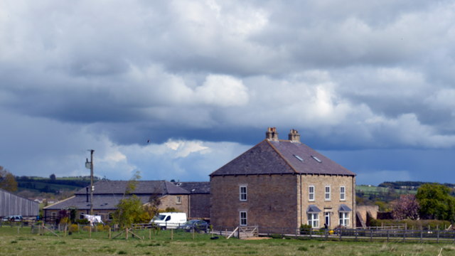
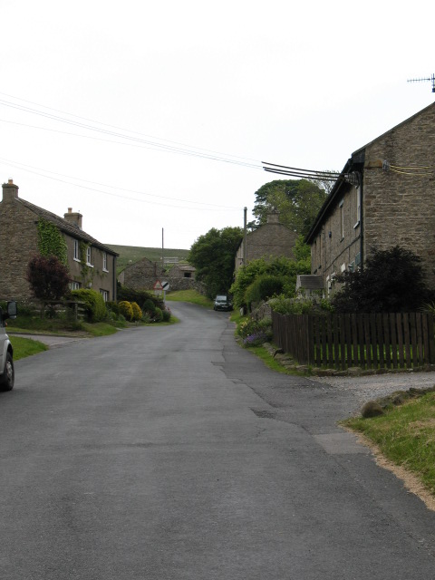
Waithwith Bank Plantation Images
Images are sourced within 2km of 54.375955/-1.7911434 or Grid Reference SE1397. Thanks to Geograph Open Source API. All images are credited.


Waithwith Bank Plantation is located at Grid Ref: SE1397 (Lat: 54.375955, Lng: -1.7911434)
Division: North Riding
Administrative County: North Yorkshire
District: Richmondshire
Police Authority: North Yorkshire
What 3 Words
///outcasts.reflector.fillings. Near Catterick Garrison, North Yorkshire
Nearby Locations
Related Wikis
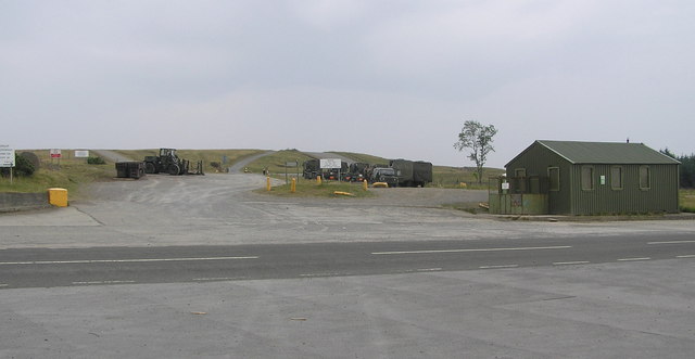
Hipswell Moor
Hipswell Moor is an area used for military training, near Catterick Garrison in North Yorkshire, England. It includes parts of the civil parishes of Barden...
Downholme
Downholme is a village and civil parish in North Yorkshire, England. It is situated approximately 4 miles (6 km) west from the market town of Richmond...

Hudswell, North Yorkshire
Hudswell is a village and civil parish on the border of the Yorkshire Dales, in North Yorkshire, England. The population at the ONS Census 2011 was 353...

Walburn, North Yorkshire
Walburn is a hamlet and civil parish in North Yorkshire, England. It is located in lower Swaledale, 5 miles (8 km) south-west of Richmond. The population...
Nearby Amenities
Located within 500m of 54.375955,-1.7911434Have you been to Waithwith Bank Plantation?
Leave your review of Waithwith Bank Plantation below (or comments, questions and feedback).