Ellishill Wood

Wood, Forest in Staffordshire Staffordshire Moorlands

England

Ellishill Wood

Trees in the last of the light
Trees in the last of the light Credit: Peter Allen

Ellishill Wood is a charming ancient woodland located in Staffordshire, England. Spanning an area of approximately 50 acres, this forest is a haven of tranquility and natural beauty. Its rich history dates back centuries, with records of its existence dating as far back as the 13th century.

The woodland is predominantly made up of deciduous trees such as oak, ash, and beech, creating a diverse and vibrant ecosystem. These trees provide a sanctuary for a wide variety of wildlife, including birds, mammals, and insects. The forest floor is adorned with a carpet of bluebells and wildflowers during the spring, creating a breathtaking spectacle.

Ellishill Wood offers visitors a range of recreational activities. There are several well-maintained footpaths and trails that crisscross through the woodland, allowing visitors to explore and appreciate its natural wonders. These paths are suitable for all levels of fitness, making it an ideal destination for both casual strollers and avid hikers.

The woodland also provides opportunities for birdwatching, with a number of species, including woodpeckers, nuthatches, and song thrushes, calling it home. Nature enthusiasts can spend hours observing and photographing the diverse birdlife.

Ellishill Wood is a cherished natural gem in Staffordshire, offering a peaceful retreat from the hustle and bustle of everyday life. Its ancient trees, vibrant wildlife, and well-maintained trails make it a perfect destination for nature lovers and those seeking solace in the beauty of the great outdoors.

If you have any feedback on the listing, please let us know in the comments section below.

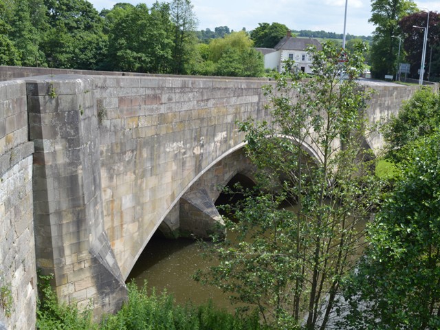
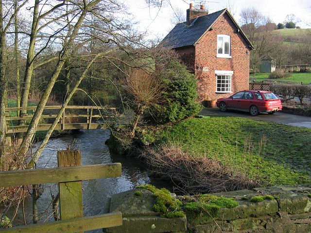
Ellishill Wood Images

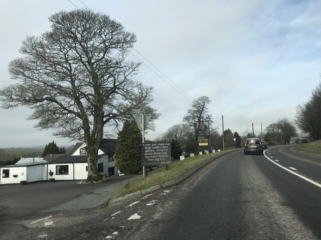
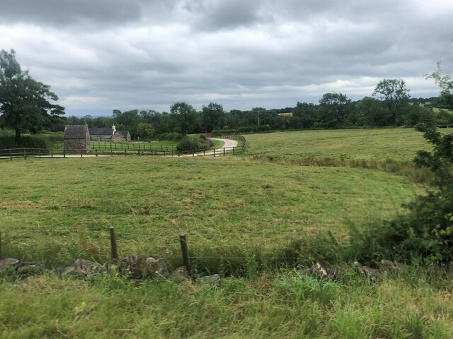
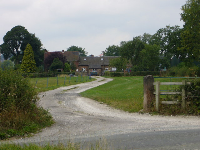
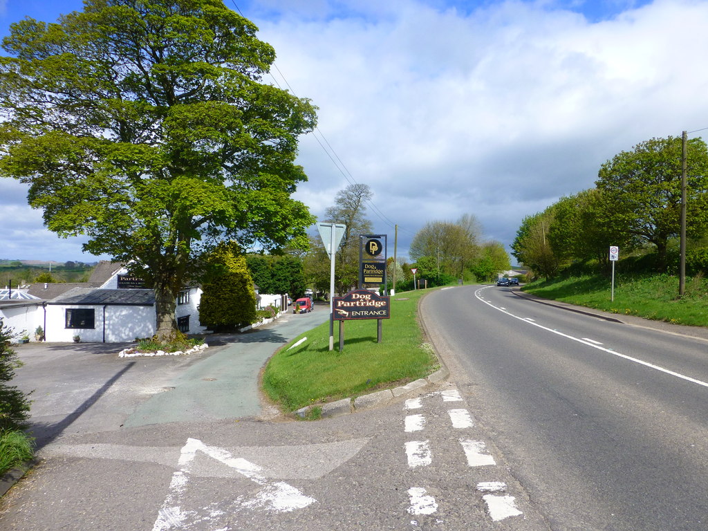
Images are sourced within 2km of 53.017197/-1.7987684 or Grid Reference SK1346. Thanks to Geograph Open Source API. All images are credited.

Trees in the last of the light
Turning on A52
Turning on A52
Junction signage on A52
Speed Camera Warning Signage
Dog & Partridge - Swinscoe
Dog and Partridge Inn On the edge of the Peak District National Park
Dog and Partridge Inn
On the edge of the Peak District National Park
Drive to Little Moor Cottage
Lay-by on A52 near Cornpark The A52 is a major east-west road in the East Midlands. It runs east from a junction with the A53 at Newcastle-under-Lyme near Stoke-on-Trent (just east of the M6) to the Lincolnshire coast at Mablethorpe. Running for approximately 147 miles, its route passes via Ashbourne, Derby, Stapleford, Nottingham, West Bridgford, Bingham, Grantham, Boston and Skegness.
Lay-by on A52 near Cornpark
The A52 is a major east-west road in the East Midlands. It runs east from a junction with the A53 at Newcastle-under-Lyme near Stoke-on-Trent (just east of the M6) to the Lincolnshire coast at Mablethorpe. Running for approximately 147 miles, its route passes via Ashbourne, Derby, Stapleford, Nottingham, West Bridgford, Bingham, Grantham, Boston and Skegness.
The Dog and Partridge at Swinscoe
Drive to Littlemoor Cottage (a footpath)
Bus shelter by A52, Swinscoe The A52 is a major east-west road in the East Midlands. It runs east from a junction with the A53 at Newcastle-under-Lyme near Stoke-on-Trent (just east of the M6) to the Lincolnshire coast at Mablethorpe. Running for approximately 147 miles, its route passes via Ashbourne, Derby, Stapleford, Nottingham, West Bridgford, Bingham, Grantham, Boston and Skegness.
Bus shelter by A52, Swinscoe
The A52 is a major east-west road in the East Midlands. It runs east from a junction with the A53 at Newcastle-under-Lyme near Stoke-on-Trent (just east of the M6) to the Lincolnshire coast at Mablethorpe. Running for approximately 147 miles, its route passes via Ashbourne, Derby, Stapleford, Nottingham, West Bridgford, Bingham, Grantham, Boston and Skegness.
Lay-by on A52 south-east of Swinscoe Shallow and unprotected
Lay-by on A52 south-east of Swinscoe
Shallow and unprotected
Old Milepost by the A52, Swinscoe Hill, Upper Mayfield Cast iron post by the A52, in parish of MAYFIELD (EAST STAFFORDSHIRE District), Swinscoe Hill, Upper Mayfield, 250m North West of Ivy cottage, at junction with Gallowstree Lane in front of cottage, on South side of road. Ashbourne iron bobbin, erected by the Ashbourne to Leek & Congleton turnpike trust in the 19th century. 

Inscription reads:-
: LEEK / 13 / MILES. : : ASHBN. / 2 / MILES. :
Maker:-
: JAMES BASSETT ASHBOURNE 1834. :

Grade II Listed. List Entry Number: 1278450

<span class="nowrap"><a title="https://historicengland.org.uk/listing/the-list/list-entry/1278450" rel="nofollow ugc noopener" href="https://historicengland.org.uk/listing/the-list/list-entry/1278450">Link</a><img style="margin-left:2px;" alt="External link" title="External link - shift click to open in new window" src="https://s1.geograph.org.uk/img/external.png" width="10" height="10"/></span>

Milestone Society National ID: ST_LKAB13.
Old Milepost by the A52, Swinscoe Hill, Upper Mayfield
Cast iron post by the A52, in parish of MAYFIELD (EAST STAFFORDSHIRE District), Swinscoe Hill, Upper Mayfield, 250m North West of Ivy cottage, at junction with Gallowstree Lane in front of cottage, on South side of road. Ashbourne iron bobbin, erected by the Ashbourne to Leek & Congleton turnpike trust in the 19th century. Inscription reads:- : LEEK / 13 / MILES. : : ASHBN. / 2 / MILES. : Maker:- : JAMES BASSETT ASHBOURNE 1834. : Grade II Listed. List Entry Number: 1278450 LinkExternal link Milestone Society National ID: ST_LKAB13.
Stanton Chapel in Bankside, Stanton. The stone over the door is inscribed "Primitive Methodist Chapel erected at the sole expense of David Smith. AD 1824". Primitive Methodism started only 30 km away on <a href="https://www.geograph.org.uk/gridref/SJ8557">SJ8557</a> Mow Cop in 1807.
Stanton Chapel
in Bankside, Stanton. The stone over the door is inscribed "Primitive Methodist Chapel erected at the sole expense of David Smith. AD 1824". Primitive Methodism started only 30 km away on SJ8557 Mow Cop in 1807.
St Mary's Church Stanton, Staffordshire
St Mary's Church
Stanton, Staffordshire
Rhodes Cottage Sallyfield Lane, Stanton, Staffordshire. Note the topiary.
Rhodes Cottage
Sallyfield Lane, Stanton, Staffordshire. Note the topiary.
Three Oaks Farm off Sallyfield Lane, Stanton, Staffordshire
Three Oaks Farm
off Sallyfield Lane, Stanton, Staffordshire
Lordspiece Stanton Lane, Mayfield, Staffordshire
Lordspiece
Stanton Lane, Mayfield, Staffordshire
Show me another place!

Ellishill Wood is located at Grid Ref: SK1346 (Lat: 53.017197, Lng: -1.7987684)

Administrative County: Staffordshire

District: Staffordshire Moorlands

Police Authority: Staffordshire

What 3 Words

///profile.hypocrite.league. Near Mayfield, Staffordshire

Related Wikis

Stanton, Staffordshire

Stanton is a small village situated at the eastern end of the Weaver Hills, Staffordshire, England. Stanton is located 146 miles (235.0 km) north-west...

Blore with Swinscoe

Blore with Swinscoe is a civil parish north-west of Ashbourne, in the Staffordshire Moorlands district of Staffordshire, England, on the edge of the Peak...

Swinscoe

Swinscoe is a small hamlet within the Staffordshire Moorlands in Staffordshire, England. Administratively, the hamlet is part of the civil parish of Blore...

Blore

Blore (grid reference SK137493) is a small village and parish in the Staffordshire Moorlands District of England. It is on an acclivity above Dovedale...

Thorswood

Thorswood is a nature reserve of the Staffordshire Wildlife Trust, situated in the Weaver Hills near the village of Stanton, in Staffordshire, England...

Mayfield, Staffordshire

Mayfield is a village on the outskirts of Ashbourne in Derbyshire, about 9 miles from Uttoxeter, situated in East Staffordshire. The village is divided...

Bentley Brook, Bradbourne

The Bentley Brook or Bradbourne Brook is a small tributary of the River Dove in Derbyshire, England, and is 14.5 kilometres (9 miles) long == Name == In...
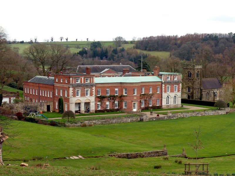
Okeover Hall

Okeover Hall is a privately owned Grade II* listed country house in Okeover, Staffordshire, England. It is the family seat of the Okeover family, who have...

Nearby Amenities

Located within 500m of 53.017197,-1.7987684
Ele: 233
Lat/Long: 53.0200046/-1.7985955
Barrier: stile
Ele: 227.7
Steps: 2
Stile: stepover
Lat/Long: 53.0186504/-1.7936852
Passing Place
Lat/Long: 53.0130321/-1.7961495
Ele: 159.0000000
Lat/Long: 53.0131082/-1.7957536
Ele: 159.0000000
Lat/Long: 53.0131034/-1.7956705
Barrier: stile
Ele: 161.0000000
Stile: squeezer
Lat/Long: 53.0132034/-1.7959575
Ele: 161.0000000
Lat/Long: 53.0131905/-1.7959253
Barrier: stile
Steps: 1
Stile: stepover
Lat/Long: 53.0176209/-1.80565
Barrier: stile
Steps: 2
Stile: stepover
Lat/Long: 53.0192304/-1.8041967
Barrier: stile
Steps: 1
Stile: stepover
Lat/Long: 53.0196298/-1.8036266
Barrier: stile
Steps: 2
Stile: stepover
Lat/Long: 53.0176464/-1.8056499
Barrier: stile
Lat/Long: 53.0153591/-1.7973523
Barrier: stile
Lat/Long: 53.0194496/-1.7998442
Barrier: stile
Lat/Long: 53.0133073/-1.7959657
Barrier: stile
Lat/Long: 53.0149503/-1.7972798
Natural: spring
Lat/Long: 53.0146972/-1.7972309
The data included in this document is from www.openstreetmap.org. The data is made available under ODbL.

Have you been to Ellishill Wood?

Leave your review of Ellishill Wood below (or comments, questions and feedback).