Billingside Wood
Wood, Forest in Durham
England
Billingside Wood
Billingside Wood is a picturesque woodland located in the county of Durham, England. Covering an area of approximately 20 acres, this enchanting forest is a haven for nature enthusiasts and a popular destination for outdoor activities.
The wood is predominantly composed of broadleaf trees, including oak, ash, and beech, which create a dense canopy and provide a habitat for a diverse range of wildlife. Visitors can expect to encounter various bird species, such as woodpeckers and buzzards, as well as small mammals like squirrels and rabbits.
The woodland is crisscrossed by a network of well-maintained footpaths, allowing visitors to explore the area and enjoy its natural beauty. These paths wind through the trees, providing glimpses of sunlight filtering through the leaves and offering a tranquil atmosphere for walkers and hikers alike.
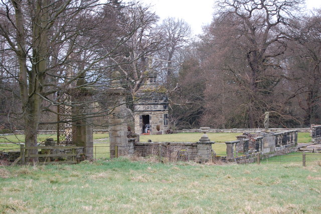
In addition to its natural wonders, Billingside Wood also boasts a rich history. It is believed that the wood has been in existence for hundreds of years, and remnants of ancient boundaries and ditches can still be seen today. This historical significance adds an extra layer of intrigue to the woodland, enticing visitors to delve deeper into its past.
Billingside Wood is easily accessible, with ample parking facilities nearby. Whether you are seeking a peaceful retreat, a place to observe wildlife, or simply a scenic backdrop for a leisurely stroll, this charming woodland in Durham offers a delightful escape into nature.
If you have any feedback on the listing, please let us know in the comments section below.
Billingside Wood Images
Images are sourced within 2km of 54.87488/-1.7910685 or Grid Reference NZ1353. Thanks to Geograph Open Source API. All images are credited.


Billingside Wood is located at Grid Ref: NZ1353 (Lat: 54.87488, Lng: -1.7910685)
Unitary Authority: County Durham
Police Authority: Durham
What 3 Words
///armed.grafted.mammal. Near Consett, Co. Durham
Nearby Locations
Related Wikis
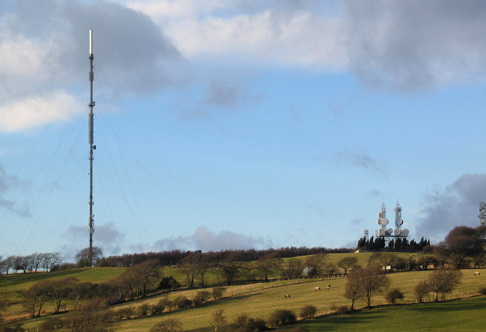
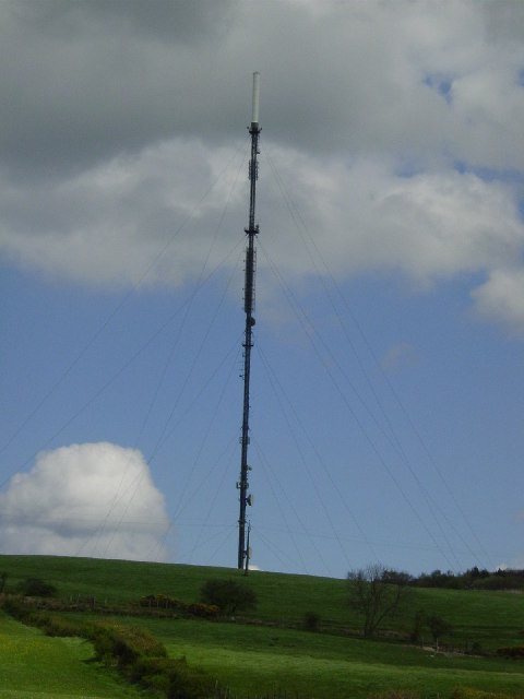
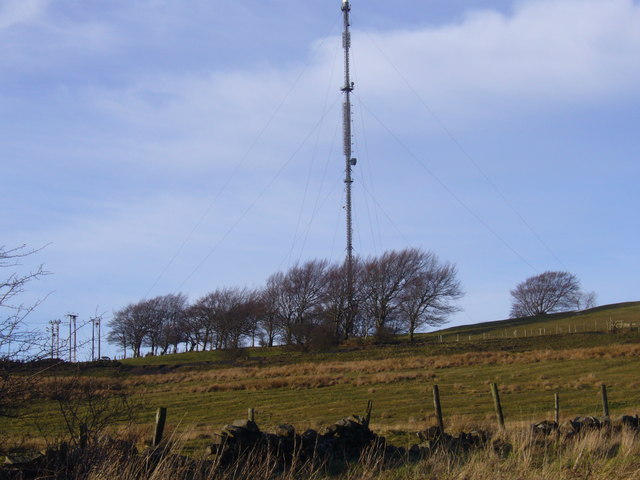
Pontop Pike transmitting station
The Pontop Pike transmitting station is a facility for telecommunications and broadcasting situated on a 312-metre (1,024-ft) high hill of the same name...

Leadgate railway station
Leadgate railway station served the village of Leadgate, County Durham, England, from 1896 to 1964 on the Stanhope and Tyne Railway. == History == The...
Leadgate, County Durham
Leadgate is a village in County Durham, in England. It is situated to the north-east of Consett. The Roman road Dere Street runs straight through the middle...

Medomsley
Medomsley is a village in County Durham, England. It is about 2 miles (3 km) northeast of the centre of Consett, 1+1⁄2 miles (2 km) south of Hamsterley...

Derwentside
Derwentside was, from 1974 to 2009, a local government district in County Durham, England. The district took its name from the River Derwent, which made...
Carrhouse railway station
Carrhouse railway station, also known as Carr House railway station, served the area of Carrhouse, County Durham, England, from 1858 to 1868 on the Stanhope...
Stony Heap
Stony Heap is a hamlet in County Durham, in England. It is situated between Leadgate and Annfield Plain. There used to be 6 houses and 2 farms plus the...
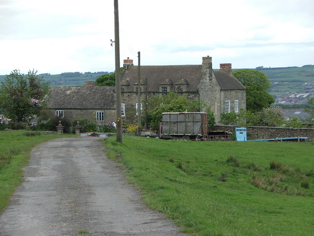
Hamsterley Hall
Hamsterley Hall is an 18th-century English country house at Hamsterley, Rowlands Gill, County Durham, England. It is a Grade II* listed building. The estate...
Nearby Amenities
Located within 500m of 54.87488,-1.7910685Have you been to Billingside Wood?
Leave your review of Billingside Wood below (or comments, questions and feedback).