Arkesden

Settlement in Essex Uttlesford

England

Arkesden

Arkesden church
Arkesden church Credit: mym

Arkesden is a small village located in the county of Essex, in the eastern part of England. Situated about 40 miles north of London, the village is nestled in the picturesque countryside, surrounded by rolling hills and meadows. It falls within the Uttlesford district and is part of the civil parish of Wenden Lofts.

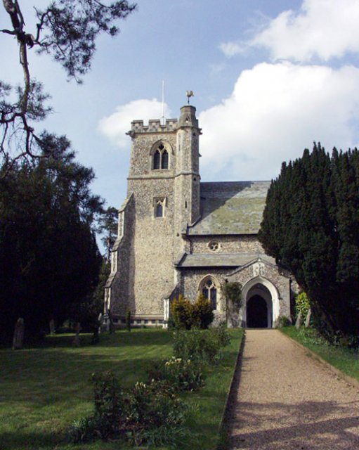
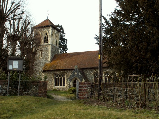
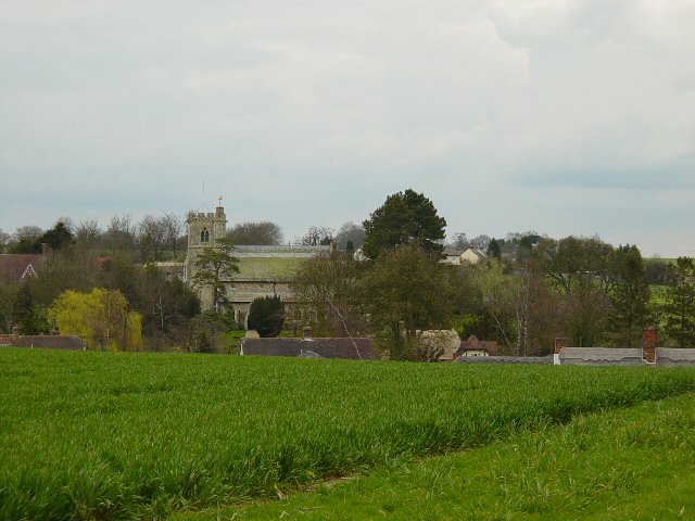
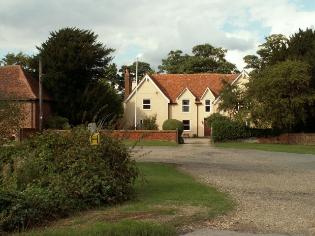
With a population of around 400 residents, Arkesden exudes a peaceful and tranquil atmosphere, making it an ideal place for those seeking a quiet and rural lifestyle. The village boasts a rich history dating back centuries, evident in its charming architecture and historic landmarks. The Church of St. Mary the Virgin, a Grade II listed building, stands proudly as a testament to the village's heritage.

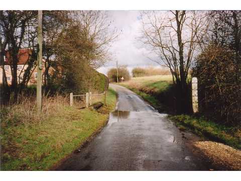
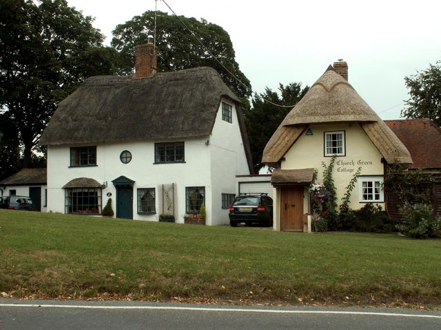
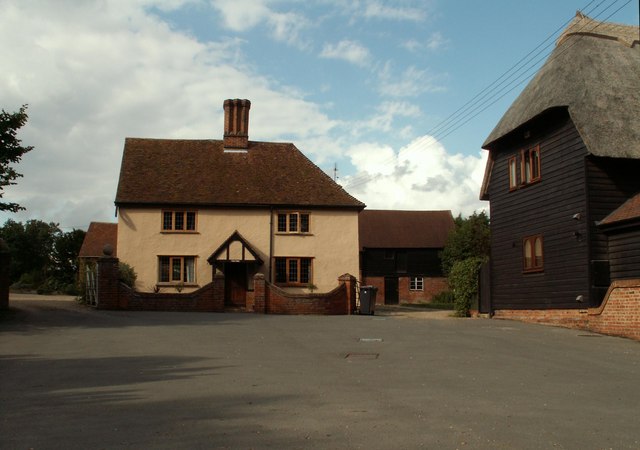
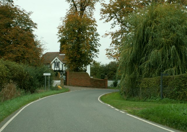
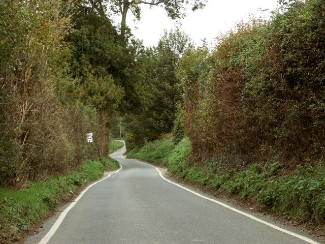
The village is characterized by its quaint cottages, many of which are constructed from traditional timber-framing and thatched roofs. The surrounding landscape offers breathtaking views, with scenic walks and trails that attract visitors and nature enthusiasts.

Despite its small size, Arkesden is well-connected to nearby towns and cities. The village is conveniently located near the A11 road, providing easy access to Cambridge and London. The nearest railway station is Audley End, situated approximately 6 miles away, offering regular train services to various destinations.

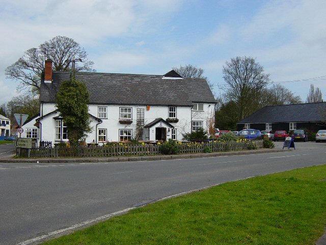
Arkesden may be a peaceful retreat, but it is not devoid of amenities. The village is home to a local pub, offering a warm and friendly atmosphere, as well as a village hall that serves as a hub for community activities and events.

Overall, Arkesden encapsulates the essence of English village life, with its idyllic countryside setting, historic charm, and close-knit community.

If you have any feedback on the listing, please let us know in the comments section below.
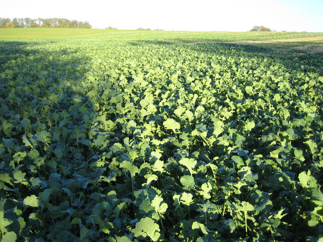
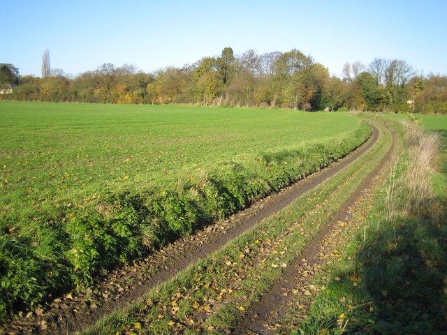
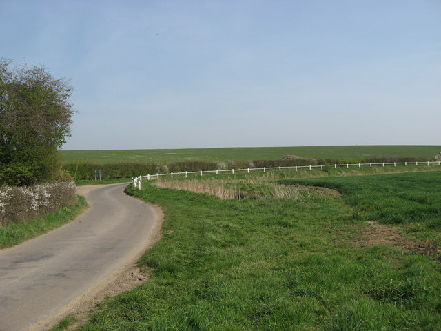
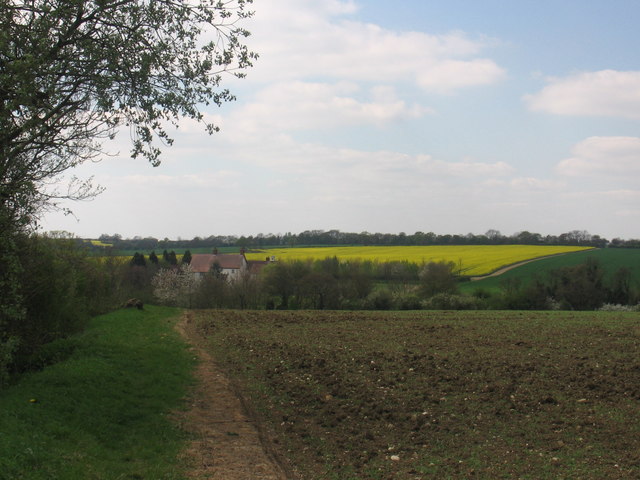
Arkesden Images

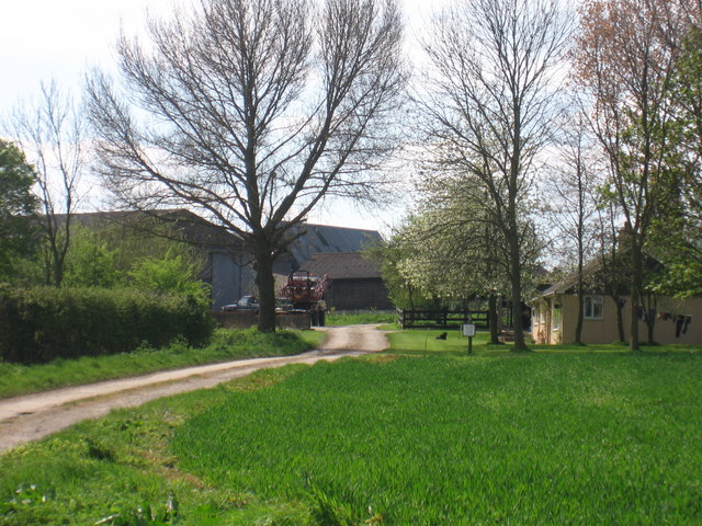
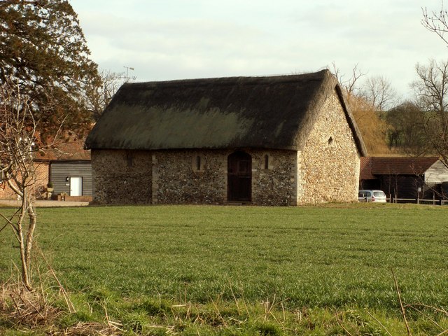
Images are sourced within 2km of 51.989034/0.156911 or Grid Reference TL4834. Thanks to Geograph Open Source API. All images are credited.

Arkesden church
Arkesden church
Ford near Arkesden On the road between Arkesden and Duddenhoe End, only occasionally wet.
Ford near Arkesden
On the road between Arkesden and Duddenhoe End, only occasionally wet.
St. Margaret's church, Wicken Bonhunt, Essex Apart from the 13th century chancel, this church was a complete rebuild in 1858-9 and designed by John Hanson Sperling.
St. Margaret's church, Wicken Bonhunt, Essex
Apart from the 13th century chancel, this church was a complete rebuild in 1858-9 and designed by John Hanson Sperling.
The Cricketers, Clavering This is the childhood home of chef Jamie Oliver and he learnt to cook here at the age of eight. The Cricketers is still owned by Jamie Olivers parents Trevor and Sally Oliver.
<span class="nowrap"><a title="http://www.design-digerati.com/the_cricketers/restaurant.asp" rel="nofollow ugc noopener" href="http://www.design-digerati.com/the_cricketers/restaurant.asp">Link</a><img style="margin-left:2px;" alt="External link" title="External link - shift click to open in new window" src="https://s1.geograph.org.uk/img/external.png" width="10" height="10"/></span>
The Cricketers, Clavering
This is the childhood home of chef Jamie Oliver and he learnt to cook here at the age of eight. The Cricketers is still owned by Jamie Olivers parents Trevor and Sally Oliver. LinkExternal link
Arkesden Church Looking towards Arkesden.
Arkesden Church
Looking towards Arkesden.
Cottages at Arkesden, Essex Arkesden is a very pretty village and has many lovely thatched cottages such as these two that stand by the small green, immediately south of the church.
Cottages at Arkesden, Essex
Arkesden is a very pretty village and has many lovely thatched cottages such as these two that stand by the small green, immediately south of the church.
'The Axe & Compasses' inn, Arkesden, Essex
Hobs Aerie farm buildings, Arkesden, Essex
Clanverend Farm, near Wendens Ambo, Essex
Clavering Court, Stickling Green, Clavering, Essex
Clavering Place Farm, Stickling Green, Clavering, Essex
The lodge at Wood Hall, near Arkesden, Essex The road is Clatterbury Lane.
The lodge at Wood Hall, near Arkesden, Essex
The road is Clatterbury Lane.
Poore Street This is the section near Clanverend Bridge.
Poore Street
This is the section near Clanverend Bridge.
Stickling Green ..and these are the greens that are grown there, wall to wall brassicas.
Stickling Green
..and these are the greens that are grown there, wall to wall brassicas.
Stickling Green: Colehill Lane Colehill Lane, which runs between Clavering and Stickling Green, is a Public Byway or BOAT (Byway Open to All Traffic).
Stickling Green: Colehill Lane
Colehill Lane, which runs between Clavering and Stickling Green, is a Public Byway or BOAT (Byway Open to All Traffic).
Ostler's Green Country lane at Ostler's Green
Ostler's Green
Country lane at Ostler's Green
Farmland near Clavering Farm
Chardwell Farm
Chardwell Farm
Show me another place!

Arkesden is located at Grid Ref: TL4834 (Lat: 51.989034, Lng: 0.156911)

Administrative County: Essex

District: Uttlesford

Police Authority: Essex

What 3 Words

///bridge.appraised.copy. Near Saffron Walden, Essex

Nearby Locations

Arkesden

Related Wikis

Nearby Amenities

Located within 500m of 51.989034,0.156911
Arkesden
Created By: Potlatch 0.4a
Place: village
Lat/Long: 51.9884384/0.1578435
Post Box
Brand: Royal Mail
Brand Wikidata: Q638098
Brand Wikipedia: en:Royal Mail
Collection Times: Mo-Fr 16:15; Sa 11:15
Operator: Royal Mail
Operator Wikidata: Q638098
Post Box Design: type_m
Post Box Type: lamp
Ref: CB11 67
Royal Cypher: EIIR
Royal Cypher Wikidata: Q33102113
Source: survey
Lat/Long: 51.9885354/0.1585103
Bus Stop
The Gap
Bus: yes
Naptan AtcoCode: 1500IM1780
Naptan Bearing: W
Naptan BusStopType: CUS
Naptan CommonName: Poore Street
Naptan Crossing: Clatterbury Lane
Naptan Indicator: W-bound
Naptan Landmark: Poore Street
Naptan NaptanCode: esxadmgj
Naptan Street: Poore Street
Naptan Verified: no
Public Transport: platform
Source: naptan_import
Lat/Long: 51.9874363/0.1606931
Bus Stop
The Gap
Bus: yes
Naptan AtcoCode: 1500IM1780AA
Naptan Bearing: E
Naptan BusStopType: CUS
Naptan CommonName: Poore Street
Naptan Crossing: Clatterbury Lane
Naptan Indicator: E-bound
Naptan Landmark: Poore Street
Naptan NaptanCode: esxgtdmd
Naptan Street: Poore Street
Naptan Verified: no
Public Transport: platform
Source: naptan_import
Lat/Long: 51.98749/0.1607102
Hampits
Place: hamlet
Lat/Long: 51.9909885/0.1511919
Bench
Lat/Long: 51.9889429/0.1568592
Bench
Lat/Long: 51.9887876/0.1574639
Bench
Lat/Long: 51.9875116/0.1604572
Bench
Backrest: yes
Material: wood
Lat/Long: 51.9896677/0.1569969
Bench
Lat/Long: 51.9931603/0.1593606
Barrier: bollard
Lat/Long: 51.9929829/0.1589563
Public Bookcase
Booth: K6
Disused Amenity: telephone
Listed Status: Grade II
Man Made: telephone_box
Public Bookcase Type: phone_box
Lat/Long: 51.9885705/0.1584315
Quicksie Hill
Place: hamlet
Lat/Long: 51.9932018/0.1594425
The data included in this document is from www.openstreetmap.org. The data is made available under ODbL.

Have you been to Arkesden?

Leave your review of Arkesden below (or comments, questions and feedback).