Benacres Plantation
Wood, Forest in Northumberland
England
Benacres Plantation
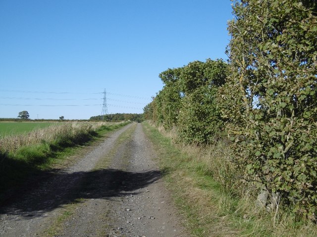
Benacres Plantation is a sprawling woodland estate located in Northumberland, renowned for its rich history and natural beauty. Situated amidst the idyllic countryside, this plantation covers a vast area of dense forest, making it a haven for nature enthusiasts and outdoor adventurers alike.
The plantation boasts a diverse range of tree species, including towering oak, beech, and pine trees that provide a lush canopy over the landscape. The forest floor is adorned with an array of vibrant wildflowers, creating a picturesque scene throughout the year. The plantation is also home to a variety of wildlife, with sightings of deer, foxes, and numerous bird species being common.
Within the plantation, there are several well-maintained walking trails that offer visitors the opportunity to explore the woodlands at their own pace. These trails wind through the forest, leading to hidden groves, tranquil streams, and breathtaking viewpoints. There are also designated picnic areas where visitors can relax and immerse themselves in the peaceful ambiance of the surroundings.
In addition to its natural beauty, Benacres Plantation possesses a rich historical significance. The plantation has been in existence for several centuries and was once a thriving hub of timber production. Remnants of old sawmills and logging sites can still be found, providing a glimpse into its industrial past.
Today, Benacres Plantation stands as a testament to the harmonious coexistence of nature and human history. It offers an escape from the fast-paced modern world, allowing visitors to reconnect with nature and experience the tranquility of this enchanting woodland estate.
If you have any feedback on the listing, please let us know in the comments section below.
Benacres Plantation Images
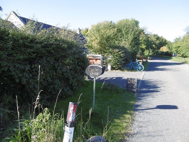
Images are sourced within 2km of 55.04193/-1.7938472 or Grid Reference NZ1371. Thanks to Geograph Open Source API. All images are credited.


Benacres Plantation is located at Grid Ref: NZ1371 (Lat: 55.04193, Lng: -1.7938472)
Unitary Authority: Northumberland
Police Authority: Northumbria
What 3 Words
///workroom.adjuster.number. Near Darras Hall, Northumberland
Nearby Locations
Related Wikis
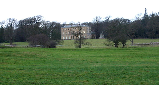
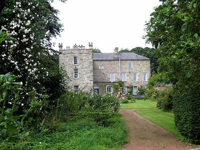
Dissington Hall
Dissington Hall is an English country house situated on the banks of the River Pont at North Dissington, Ponteland, Northumberland, England. It is a Grade...
Eachwick
Eachwick is a hamlet and former civil parish 11 miles (18 km) from Morpeth, now in the parish of Stamfordham, in the county of Northumberland, England...
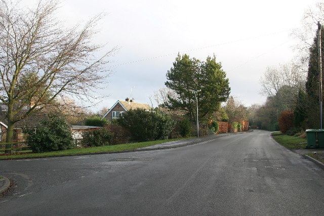
Darras Hall railway station
Darras Hall was a railway station on the Ponteland Railway, which ran between South Gosforth and Ponteland, with a sub-branch line to Darras Hall. The...
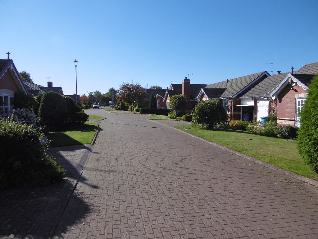
Darras Hall
Darras Hall is an upland housing estate located in the village of Ponteland. It is on the southwestern outskirts of the village, 7.4 miles (11.9 km) northwest...
Nearby Amenities
Located within 500m of 55.04193,-1.7938472Have you been to Benacres Plantation?
Leave your review of Benacres Plantation below (or comments, questions and feedback).